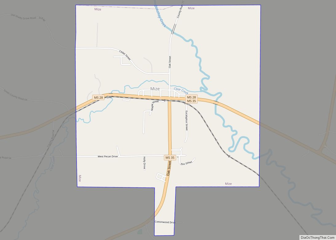
Mize is a town in Smith County, Mississippi, United States. The population was 285 at the 2000 census.
It is the home of the Mississippi Watermelon Festival.
| Name: | Mize town |
|---|---|
| LSAD Code: | 43 |
| LSAD Description: | town (suffix) |
| State: | Mississippi |
| County: | Smith County |
| Elevation: | 295 ft (90 m) |
| Total Area: | 2.44 sq mi (6.32 km²) |
| Land Area: | 2.44 sq mi (6.32 km²) |
| Water Area: | 0.00 sq mi (0.00 km²) |
| Total Population: | 317 |
| Population Density: | 129.92/sq mi (50.16/km²) |
| ZIP code: | 39116 |
| Area code: | 601 |
| FIPS code: | 2848240 |
| GNISfeature ID: | 0690924 |
| Website: | mizems.com |
Online Interactive Map
Click on ![]() to view map in "full screen" mode.
to view map in "full screen" mode.
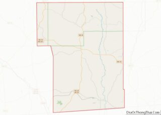
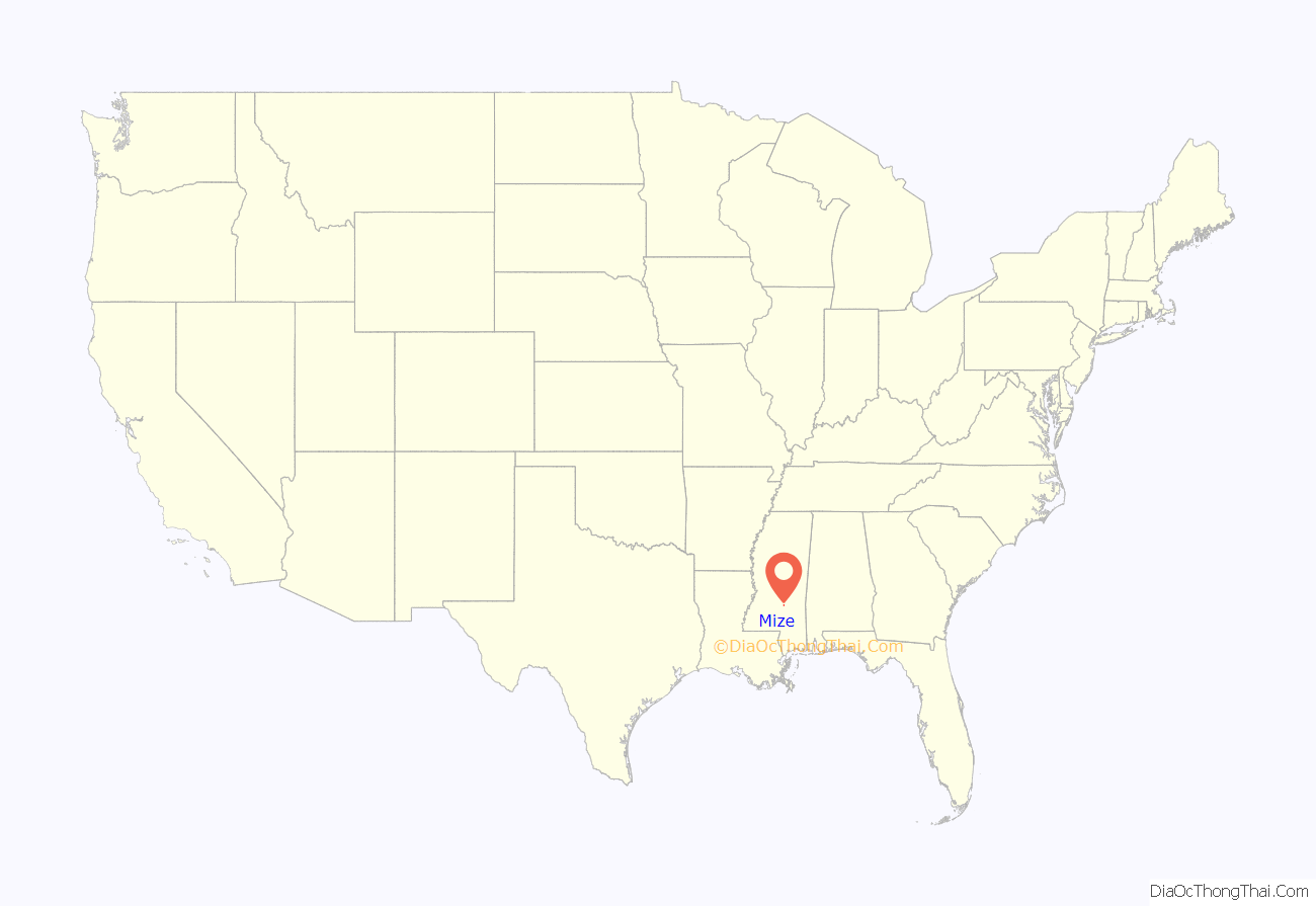
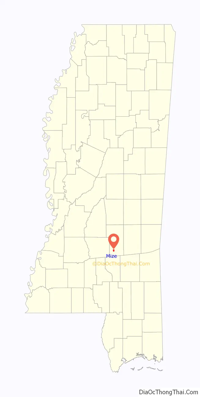
Mize location map. Where is Mize town?
History
Mize was settled by Europeans by the early 1900s on the Gulf and Ship Island Railroad lines, though immigrants from Scotland may have settled the area as early as 1810. Choctaw Indians had lived in the area for thousands of years, and were being forced westward by the early 1800s. It is proximate to Sullivan’s Hollow, Mississippi, the home of outlaw William Cicero “Wild Bill” Sullivan.
On April 6, 2005, an F-3 tornado struck Mize High School. The school’s second floor was ripped off and the entire structure was severely damaged. Reconstruction efforts were completed in 2007.
The mayor of Mize is Joe Hancock.
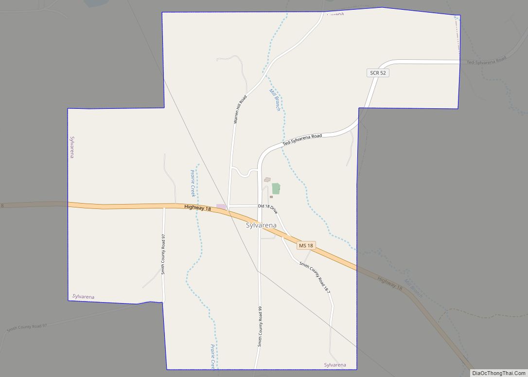
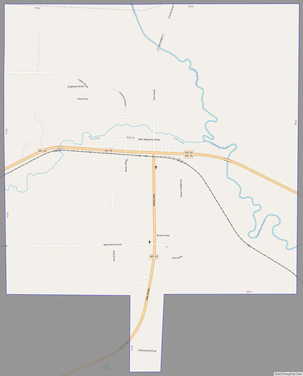
Mize Road Map
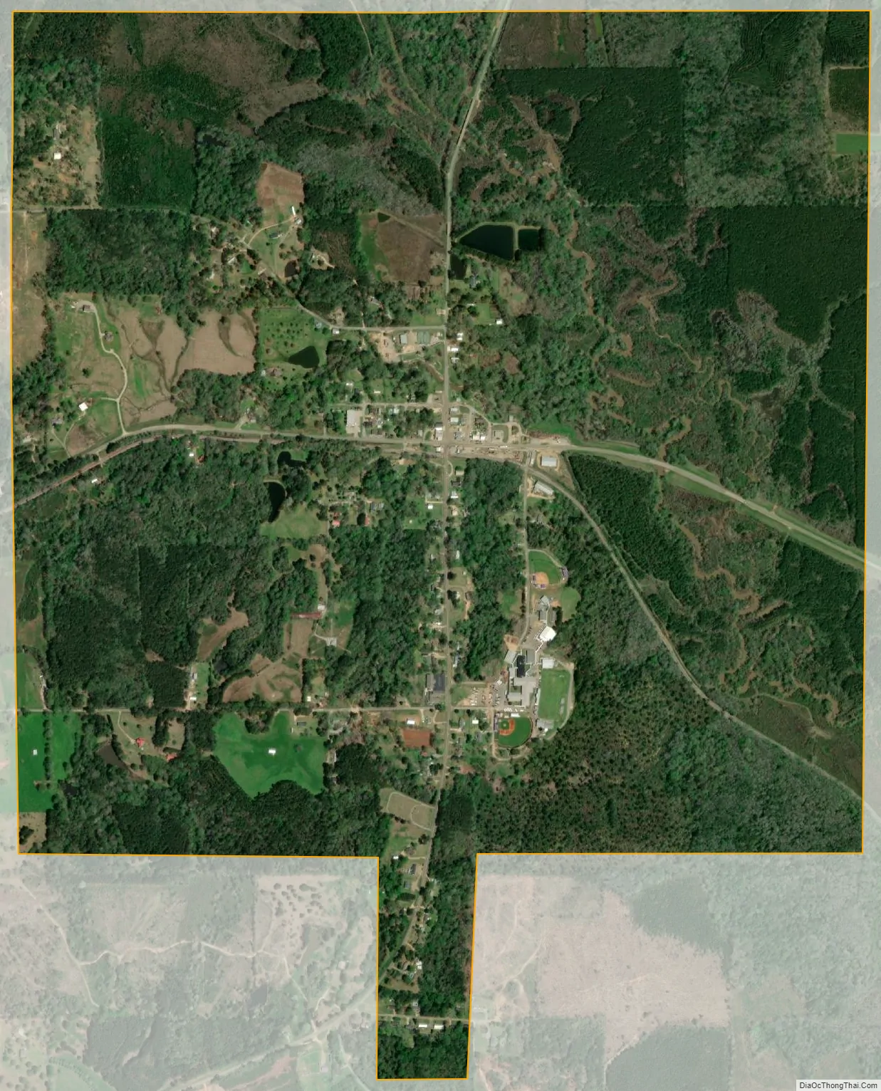
Mize city Satellite Map
Geography
According to the United States Census Bureau, the town has a total area of 2.3 square miles (6.0 km), all land.
See also
Map of Mississippi State and its subdivision:- Adams
- Alcorn
- Amite
- Attala
- Benton
- Bolivar
- Calhoun
- Carroll
- Chickasaw
- Choctaw
- Claiborne
- Clarke
- Clay
- Coahoma
- Copiah
- Covington
- Desoto
- Forrest
- Franklin
- George
- Greene
- Grenada
- Hancock
- Harrison
- Hinds
- Holmes
- Humphreys
- Issaquena
- Itawamba
- Jackson
- Jasper
- Jefferson
- Jefferson Davis
- Jones
- Kemper
- Lafayette
- Lamar
- Lauderdale
- Lawrence
- Leake
- Lee
- Leflore
- Lincoln
- Lowndes
- Madison
- Marion
- Marshall
- Monroe
- Montgomery
- Neshoba
- Newton
- Noxubee
- Oktibbeha
- Panola
- Pearl River
- Perry
- Pike
- Pontotoc
- Prentiss
- Quitman
- Rankin
- Scott
- Sharkey
- Simpson
- Smith
- Stone
- Sunflower
- Tallahatchie
- Tate
- Tippah
- Tishomingo
- Tunica
- Union
- Walthall
- Warren
- Washington
- Wayne
- Webster
- Wilkinson
- Winston
- Yalobusha
- Yazoo
- Alabama
- Alaska
- Arizona
- Arkansas
- California
- Colorado
- Connecticut
- Delaware
- District of Columbia
- Florida
- Georgia
- Hawaii
- Idaho
- Illinois
- Indiana
- Iowa
- Kansas
- Kentucky
- Louisiana
- Maine
- Maryland
- Massachusetts
- Michigan
- Minnesota
- Mississippi
- Missouri
- Montana
- Nebraska
- Nevada
- New Hampshire
- New Jersey
- New Mexico
- New York
- North Carolina
- North Dakota
- Ohio
- Oklahoma
- Oregon
- Pennsylvania
- Rhode Island
- South Carolina
- South Dakota
- Tennessee
- Texas
- Utah
- Vermont
- Virginia
- Washington
- West Virginia
- Wisconsin
- Wyoming