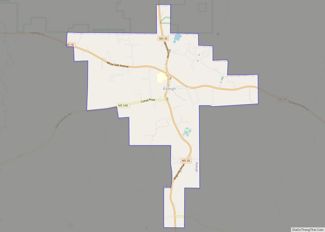
Raleigh is a town and the county seat of Smith County, Mississippi, United States. The population was 1,094 at the 2020 census, making it the second largest town in Smith County. Named for English explorer Sir Walter Raleigh, Raleigh has been home to such Mississippians as Governor Robert Lowry, Governor/U.S. Senator Anselm McLaurin and pioneer William H. Hardy.
| Name: | Raleigh town |
|---|---|
| LSAD Code: | 43 |
| LSAD Description: | town (suffix) |
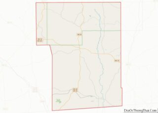
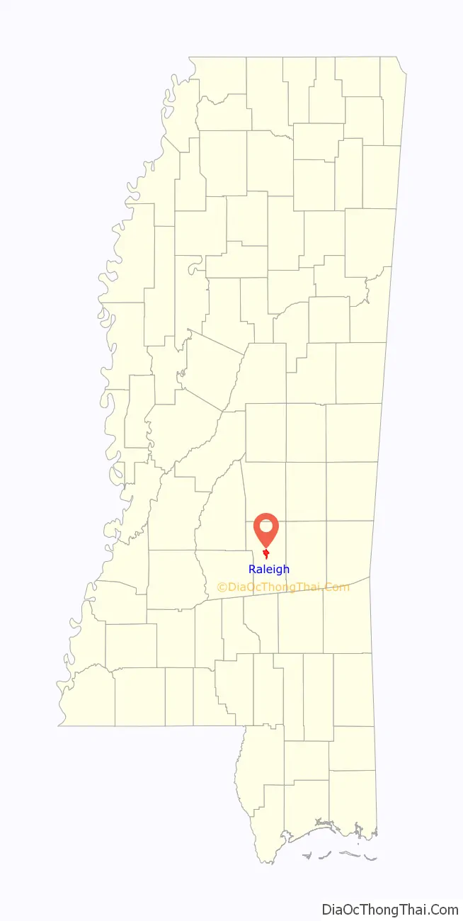
| State: | Mississippi |
| County: | Smith County |
| Elevation: | 545 ft (166 m) |
| Total Area: | 5.11 sq mi (13.23 km²) |
| Land Area: | 5.10 sq mi (13.20 km²) |
| Water Area: | 0.01 sq mi (0.03 km²) |
| Total Population: | 1,094 |
| Population Density: | 214.68/sq mi (82.89/km²) |
| ZIP code: | 39153 |
| Area code: | 601 |
| FIPS code: | 2860840 |
| GNISfeature ID: | 0694503 |
Online Interactive Map
Click on ![]() to view map in "full screen" mode.
to view map in "full screen" mode.
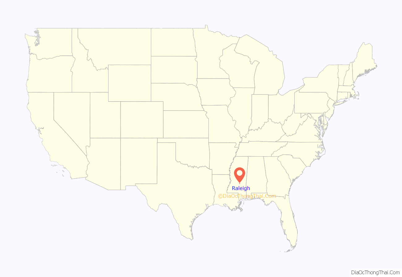
Raleigh location map. Where is Raleigh town?
History
Raleigh was first established as the community of Indian Springs and was renamed when the county seat was moved from Fairfield to Raleigh in 1834. The town of Raleigh and its citizens were very active in the Civil War; it was home to numerous companies of the Army of Mississippi and a training camp. In 1863, Raleigh was part of Grierson’s Raid which played a major role in the defeat of the Confederate Army at Vicksburg.
Harrison Hotel
The Harrison Hotel, now closed, is a famous hotel. Many Mississippi politicians, governors and U.S. Senators have stayed there, including Theodore G. Bilbo and Jefferson Davis.
Smith County Courthouse
The Smith County Courthouse is the major focal point of the town. Two earlier courthouses were destroyed in fires in the 1800s. The current court house was completed in 1912; but a leak in the roof caused the eventual loss of its signature dome. In 2005, a dedication service was held in honor of a new dome built as a replacement.
A new Chancery Court building was completed in 2009 to make room for county offices and added court room space. The new Chancery Court building is designed in a similar Greek revival design which resembles the County Courthouse.
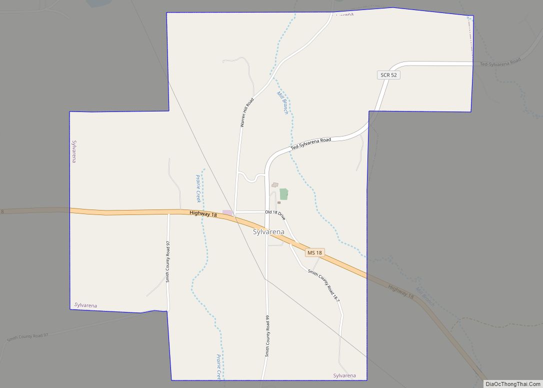
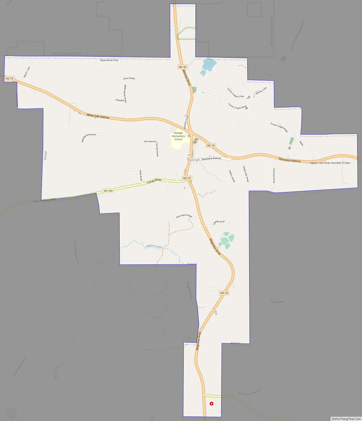
Raleigh Road Map
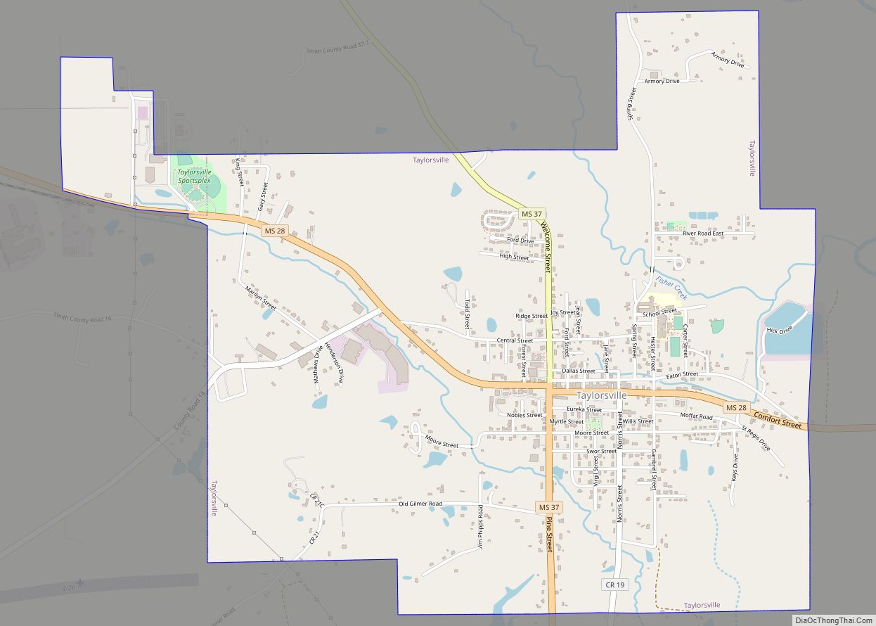
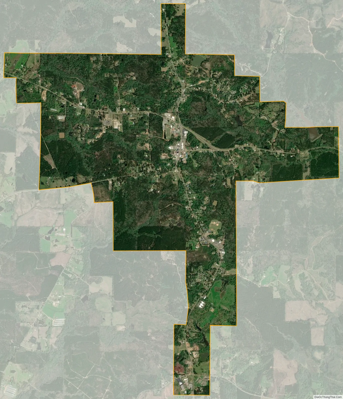
Raleigh city Satellite Map
Geography
Raleigh is located at 32°1′59″N 89°31′22″W / 32.03306°N 89.52278°W / 32.03306; -89.52278 (32.033008, -89.522893).
According to the United States Census Bureau, the town has a total area of 5.1 square miles (13 km), of which 5.0 square miles (13 km) is land and 0.04 square miles (0.10 km) (0.40%) is water.
See also
Map of Mississippi State and its subdivision:- Adams
- Alcorn
- Amite
- Attala
- Benton
- Bolivar
- Calhoun
- Carroll
- Chickasaw
- Choctaw
- Claiborne
- Clarke
- Clay
- Coahoma
- Copiah
- Covington
- Desoto
- Forrest
- Franklin
- George
- Greene
- Grenada
- Hancock
- Harrison
- Hinds
- Holmes
- Humphreys
- Issaquena
- Itawamba
- Jackson
- Jasper
- Jefferson
- Jefferson Davis
- Jones
- Kemper
- Lafayette
- Lamar
- Lauderdale
- Lawrence
- Leake
- Lee
- Leflore
- Lincoln
- Lowndes
- Madison
- Marion
- Marshall
- Monroe
- Montgomery
- Neshoba
- Newton
- Noxubee
- Oktibbeha
- Panola
- Pearl River
- Perry
- Pike
- Pontotoc
- Prentiss
- Quitman
- Rankin
- Scott
- Sharkey
- Simpson
- Smith
- Stone
- Sunflower
- Tallahatchie
- Tate
- Tippah
- Tishomingo
- Tunica
- Union
- Walthall
- Warren
- Washington
- Wayne
- Webster
- Wilkinson
- Winston
- Yalobusha
- Yazoo
- Alabama
- Alaska
- Arizona
- Arkansas
- California
- Colorado
- Connecticut
- Delaware
- District of Columbia
- Florida
- Georgia
- Hawaii
- Idaho
- Illinois
- Indiana
- Iowa
- Kansas
- Kentucky
- Louisiana
- Maine
- Maryland
- Massachusetts
- Michigan
- Minnesota
- Mississippi
- Missouri
- Montana
- Nebraska
- Nevada
- New Hampshire
- New Jersey
- New Mexico
- New York
- North Carolina
- North Dakota
- Ohio
- Oklahoma
- Oregon
- Pennsylvania
- Rhode Island
- South Carolina
- South Dakota
- Tennessee
- Texas
- Utah
- Vermont
- Virginia
- Washington
- West Virginia
- Wisconsin
- Wyoming