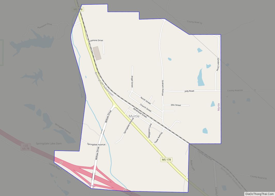
Myrtle is a town in Union County, Mississippi, United States. The population was 490 at the 2010 census.
| Name: | Myrtle town |
|---|---|
| LSAD Code: | 43 |
| LSAD Description: | town (suffix) |
| State: | Mississippi |
| County: | Union County |
| Elevation: | 404 ft (123 m) |
| Total Area: | 2.08 sq mi (5.40 km²) |
| Land Area: | 2.08 sq mi (5.40 km²) |
| Water Area: | 0.00 sq mi (0.00 km²) |
| Total Population: | 484 |
| Population Density: | 232.25/sq mi (89.68/km²) |
| ZIP code: | 38650 |
| Area code: | 662 |
| FIPS code: | 2850280 |
| GNISfeature ID: | 0694142 |
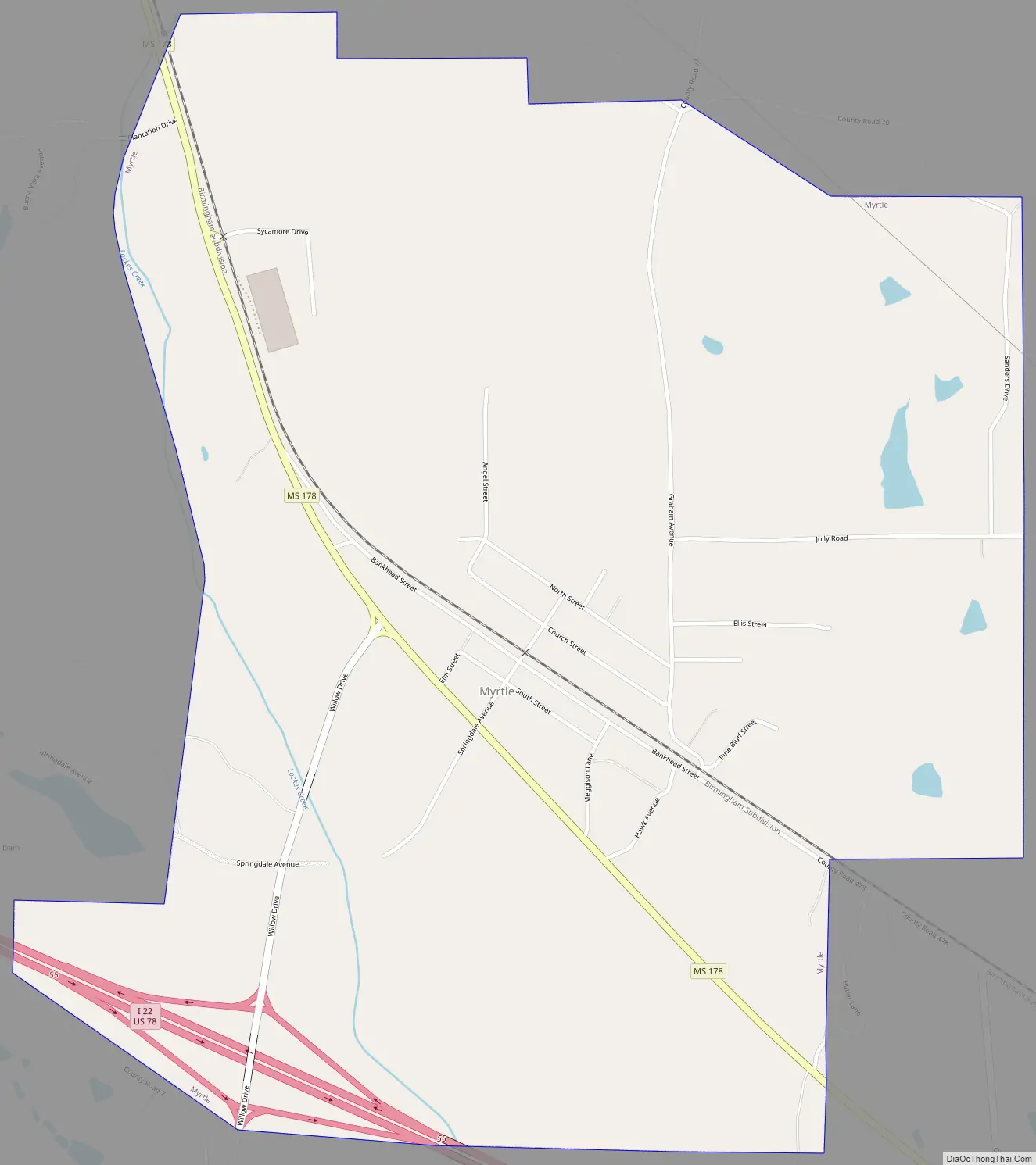
Online Interactive Map
Click on ![]() to view map in "full screen" mode.
to view map in "full screen" mode.
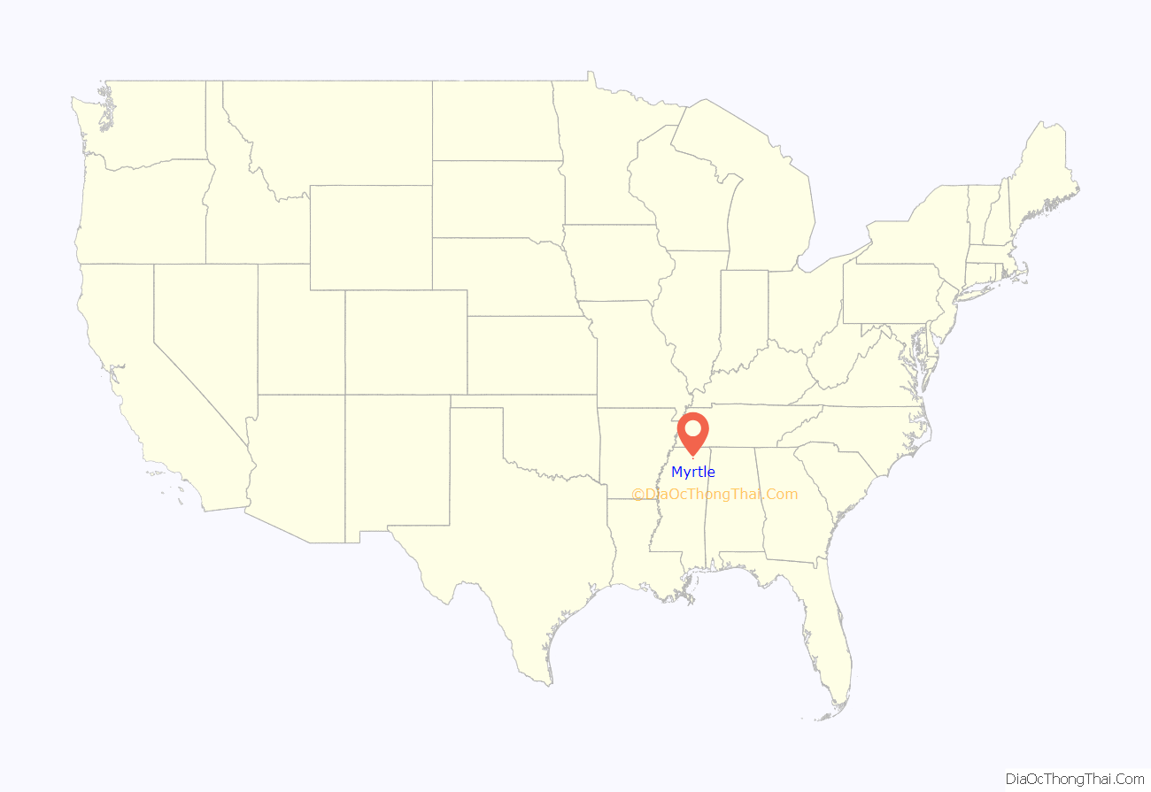
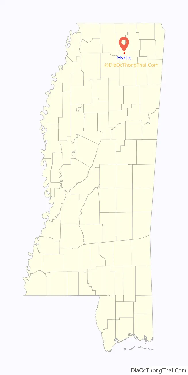
Myrtle location map. Where is Myrtle town?
History
Myrtle is rooted in a settlement known as “Candy Hill,” which was established about 2 miles (3.2 km) south of the town’s present location in 1857. When Candy Hill applied for a post office after the Civil War, it changed its name to “Myrtle,” after the abundance of myrtle trees growing in the area. Following the construction of the Kansas City, Memphis and Birmingham Railroad in the 1880s, the town shifted northward to its present location.
Myrtle Road Map
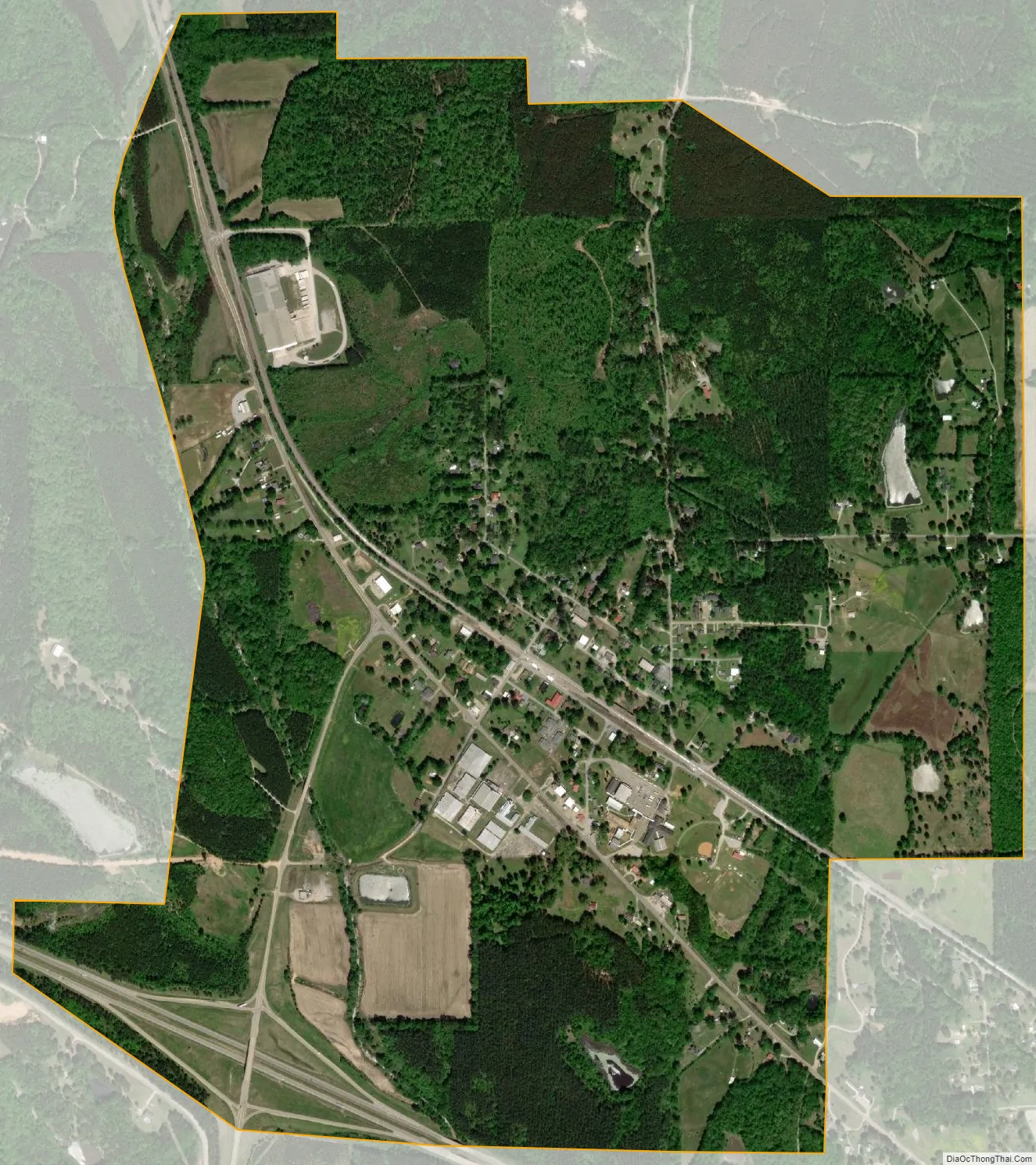
Myrtle city Satellite Map
Geography
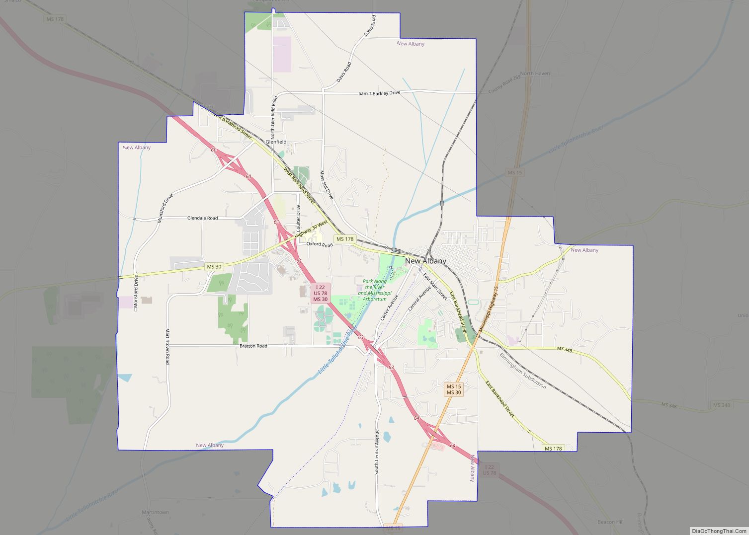
Myrtle is located northwest of New Albany along Mississippi Highway 178. Interstate 22 passes through the southern part of town.
According to the United States Census Bureau, the town has a total area of 0.6 square miles (1.6 km), all land.
See also
Map of Mississippi State and its subdivision:- Adams
- Alcorn
- Amite
- Attala
- Benton
- Bolivar
- Calhoun
- Carroll
- Chickasaw
- Choctaw
- Claiborne
- Clarke
- Clay
- Coahoma
- Copiah
- Covington
- Desoto
- Forrest
- Franklin
- George
- Greene
- Grenada
- Hancock
- Harrison
- Hinds
- Holmes
- Humphreys
- Issaquena
- Itawamba
- Jackson
- Jasper
- Jefferson
- Jefferson Davis
- Jones
- Kemper
- Lafayette
- Lamar
- Lauderdale
- Lawrence
- Leake
- Lee
- Leflore
- Lincoln
- Lowndes
- Madison
- Marion
- Marshall
- Monroe
- Montgomery
- Neshoba
- Newton
- Noxubee
- Oktibbeha
- Panola
- Pearl River
- Perry
- Pike
- Pontotoc
- Prentiss
- Quitman
- Rankin
- Scott
- Sharkey
- Simpson
- Smith
- Stone
- Sunflower
- Tallahatchie
- Tate
- Tippah
- Tishomingo
- Tunica
- Union
- Walthall
- Warren
- Washington
- Wayne
- Webster
- Wilkinson
- Winston
- Yalobusha
- Yazoo
- Alabama
- Alaska
- Arizona
- Arkansas
- California
- Colorado
- Connecticut
- Delaware
- District of Columbia
- Florida
- Georgia
- Hawaii
- Idaho
- Illinois
- Indiana
- Iowa
- Kansas
- Kentucky
- Louisiana
- Maine
- Maryland
- Massachusetts
- Michigan
- Minnesota
- Mississippi
- Missouri
- Montana
- Nebraska
- Nevada
- New Hampshire
- New Jersey
- New Mexico
- New York
- North Carolina
- North Dakota
- Ohio
- Oklahoma
- Oregon
- Pennsylvania
- Rhode Island
- South Carolina
- South Dakota
- Tennessee
- Texas
- Utah
- Vermont
- Virginia
- Washington
- West Virginia
- Wisconsin
- Wyoming