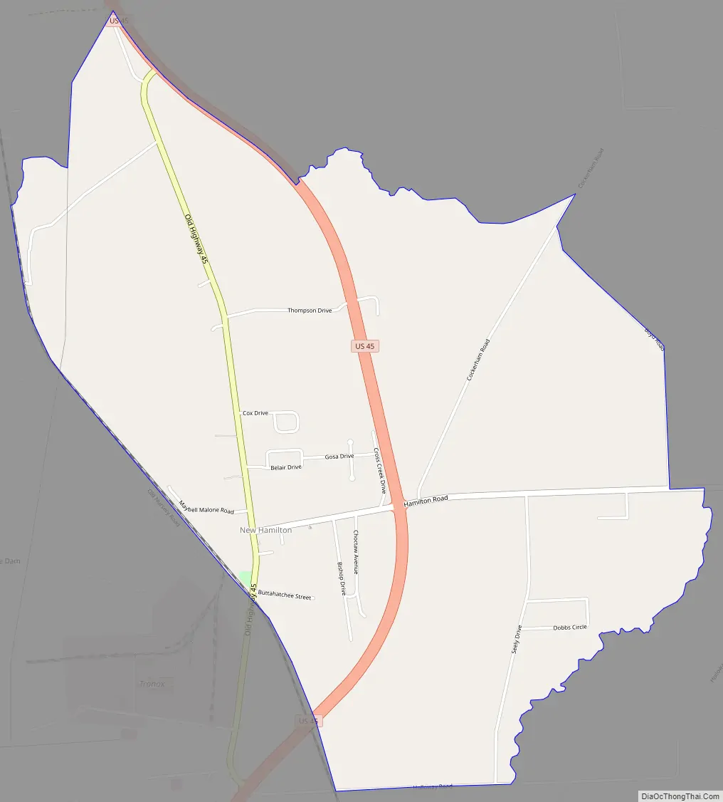
Hamilton is a census-designated place and unincorporated community in Monroe County, Mississippi.
Hamilton is located on U.S. Route 45, east of the Tennessee–Tombigbee Waterway, 12 mi (19 km) north of Columbus Air Force Base.
The third largest titanium dioxide manufacturing operation in the world is located in Hamilton.
| Name: | New Hamilton CDP |
|---|---|
| LSAD Code: | 57 |
| LSAD Description: | CDP (suffix) |
| State: | Mississippi |
| County: | Monroe County |
| Elevation: | 223 ft (68 m) |
| Total Area: | 3.56 sq mi (9.22 km²) |
| Land Area: | 3.56 sq mi (9.21 km²) |
| Water Area: | 0.01 sq mi (0.01 km²) |
| Total Population: | 533 |
| Population Density: | 149.93/sq mi (57.89/km²) |
| FIPS code: | 2851240 |
| GNISfeature ID: | 674635 |
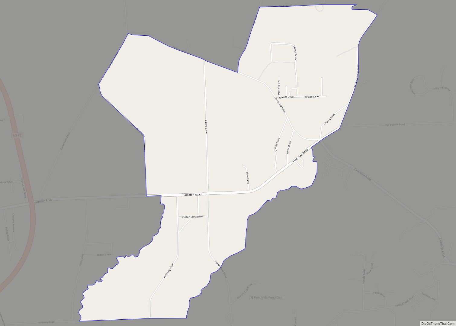
Online Interactive Map
Click on ![]() to view map in "full screen" mode.
to view map in "full screen" mode.
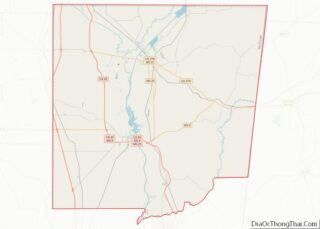
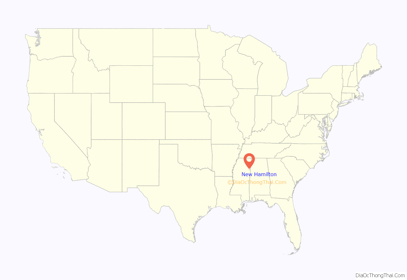
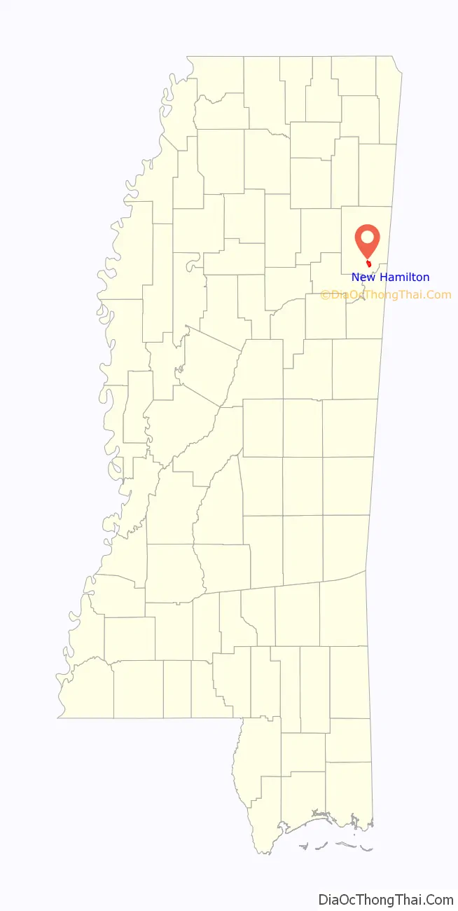
New Hamilton location map. Where is New Hamilton CDP?
History
Hamilton was the first county seat of Monroe County. In 1830, Monroe County was split to form Lowndes County to the south, and the county seat of Monroe County was moved north to Aberdeen.
The original town of Hamilton was located approximately two miles east of its current location. The town likely moved when the Kansas City, Memphis and Birmingham Railroad was built in the late 1880s.
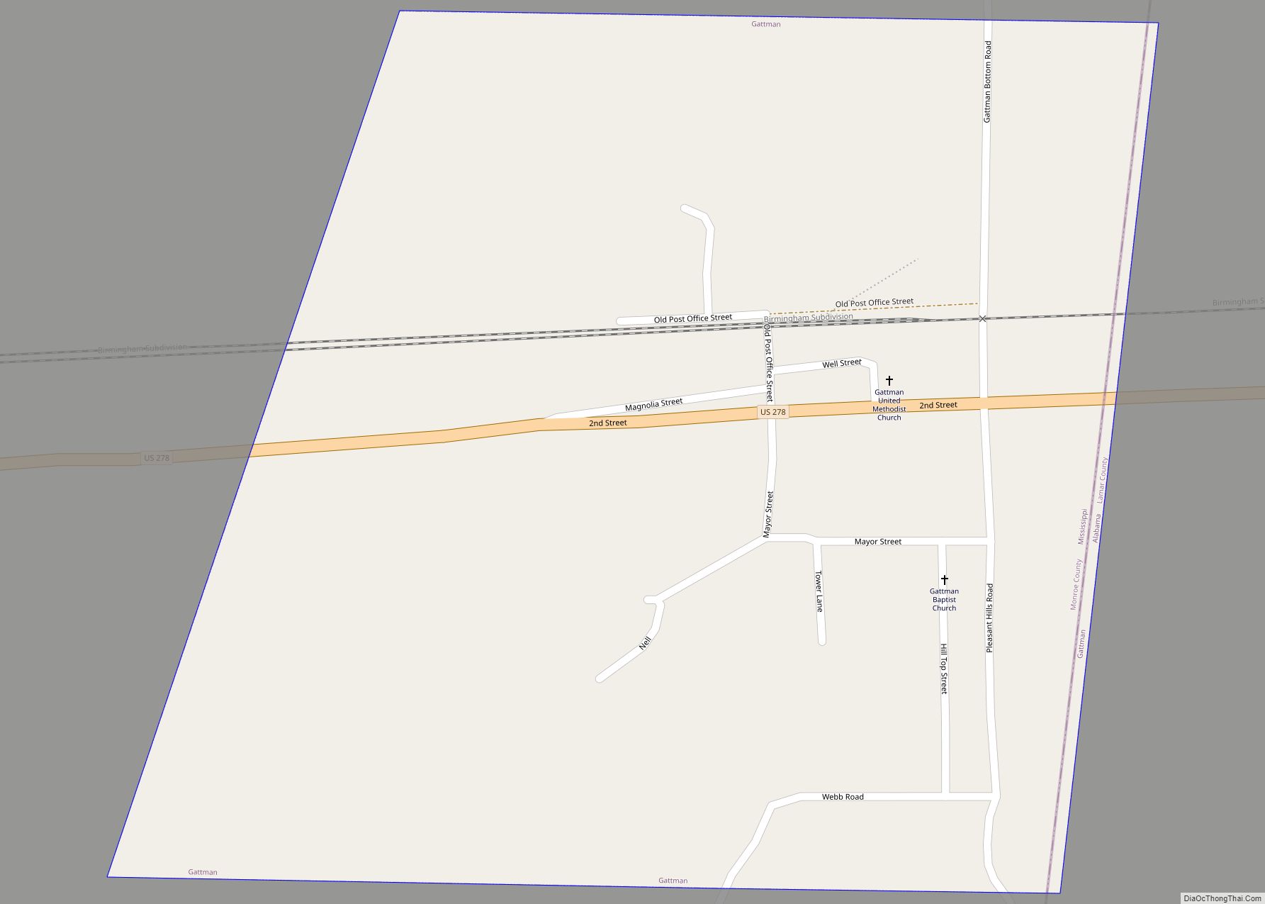
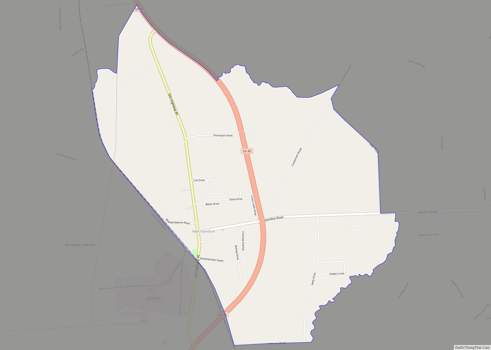
New Hamilton Road Map
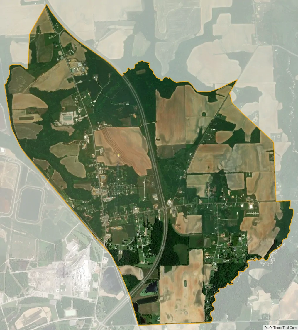
New Hamilton city Satellite Map
See also
Map of Mississippi State and its subdivision:- Adams
- Alcorn
- Amite
- Attala
- Benton
- Bolivar
- Calhoun
- Carroll
- Chickasaw
- Choctaw
- Claiborne
- Clarke
- Clay
- Coahoma
- Copiah
- Covington
- Desoto
- Forrest
- Franklin
- George
- Greene
- Grenada
- Hancock
- Harrison
- Hinds
- Holmes
- Humphreys
- Issaquena
- Itawamba
- Jackson
- Jasper
- Jefferson
- Jefferson Davis
- Jones
- Kemper
- Lafayette
- Lamar
- Lauderdale
- Lawrence
- Leake
- Lee
- Leflore
- Lincoln
- Lowndes
- Madison
- Marion
- Marshall
- Monroe
- Montgomery
- Neshoba
- Newton
- Noxubee
- Oktibbeha
- Panola
- Pearl River
- Perry
- Pike
- Pontotoc
- Prentiss
- Quitman
- Rankin
- Scott
- Sharkey
- Simpson
- Smith
- Stone
- Sunflower
- Tallahatchie
- Tate
- Tippah
- Tishomingo
- Tunica
- Union
- Walthall
- Warren
- Washington
- Wayne
- Webster
- Wilkinson
- Winston
- Yalobusha
- Yazoo
- Alabama
- Alaska
- Arizona
- Arkansas
- California
- Colorado
- Connecticut
- Delaware
- District of Columbia
- Florida
- Georgia
- Hawaii
- Idaho
- Illinois
- Indiana
- Iowa
- Kansas
- Kentucky
- Louisiana
- Maine
- Maryland
- Massachusetts
- Michigan
- Minnesota
- Mississippi
- Missouri
- Montana
- Nebraska
- Nevada
- New Hampshire
- New Jersey
- New Mexico
- New York
- North Carolina
- North Dakota
- Ohio
- Oklahoma
- Oregon
- Pennsylvania
- Rhode Island
- South Carolina
- South Dakota
- Tennessee
- Texas
- Utah
- Vermont
- Virginia
- Washington
- West Virginia
- Wisconsin
- Wyoming