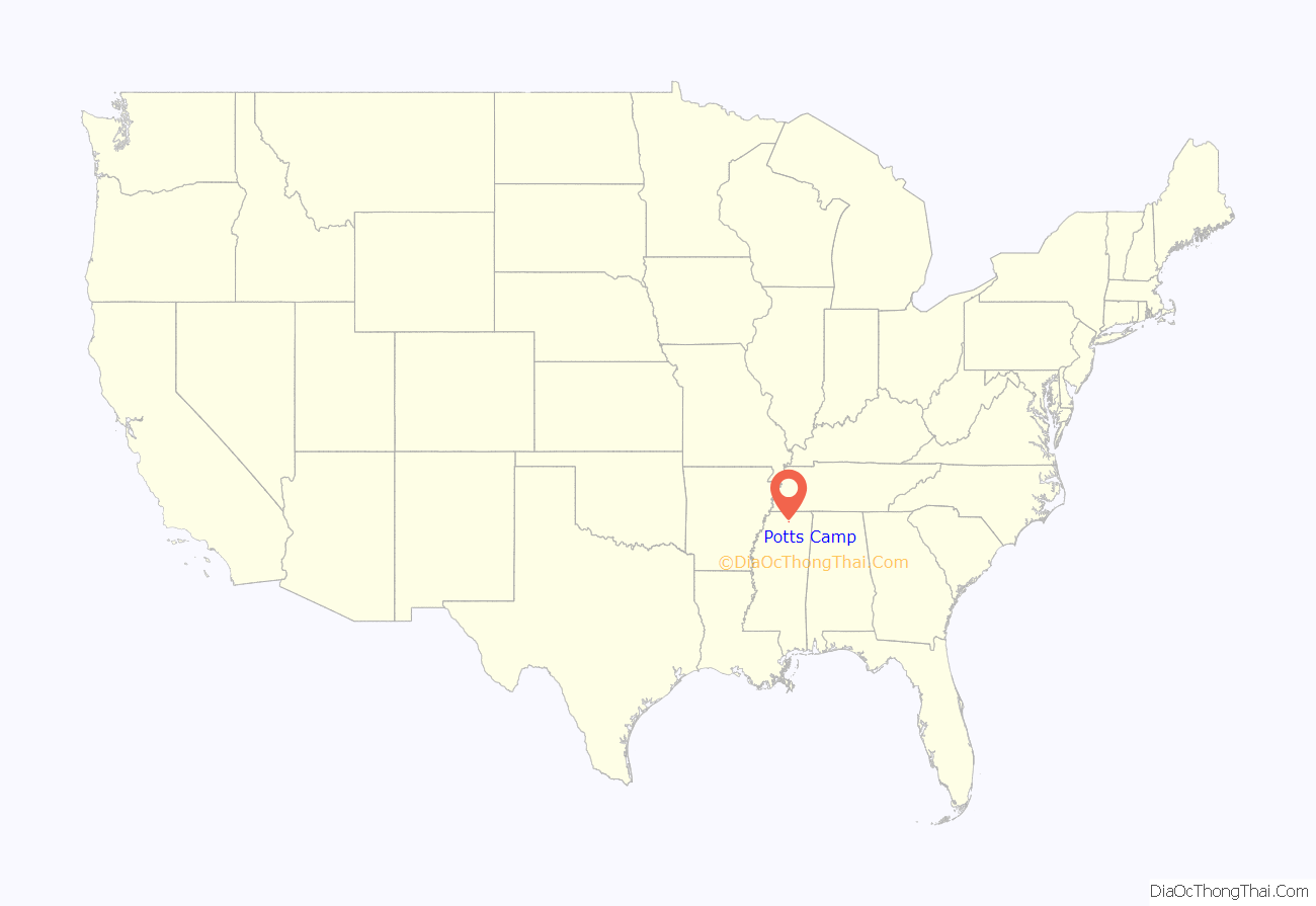
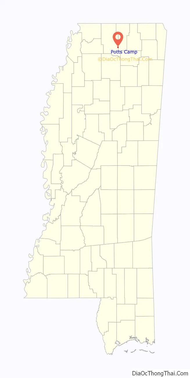
Potts Camp is a town in Marshall County, Mississippi, United States. The population was 523 at the 2010 census.
| Name: | Potts Camp town |
|---|---|
| LSAD Code: | 43 |
| LSAD Description: | town (suffix) |
| State: | Mississippi |
| County: | Marshall County |
| Elevation: | 344 ft (105 m) |
| Total Area: | 0.97 sq mi (2.52 km²) |
| Land Area: | 0.97 sq mi (2.52 km²) |
| Water Area: | 0.00 sq mi (0.00 km²) |
| Total Population: | 416 |
| Population Density: | 428.42/sq mi (165.34/km²) |
| ZIP code: | 38659 |
| Area code: | 662 |
| FIPS code: | 2859720 |
| GNISfeature ID: | 0694464 |
Online Interactive Map
Click on ![]() to view map in "full screen" mode.
to view map in "full screen" mode.
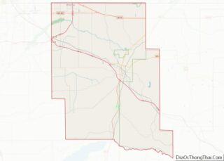
Potts Camp location map. Where is Potts Camp town?
History
Potts Camp is rooted in a trading post established along the Pontotoc Trail by Colonel Erasmus Potts in the mid-19th century. The town incorporated in 1912.
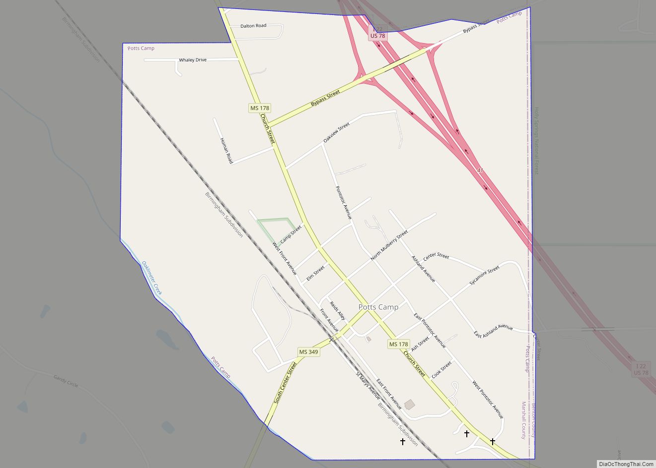
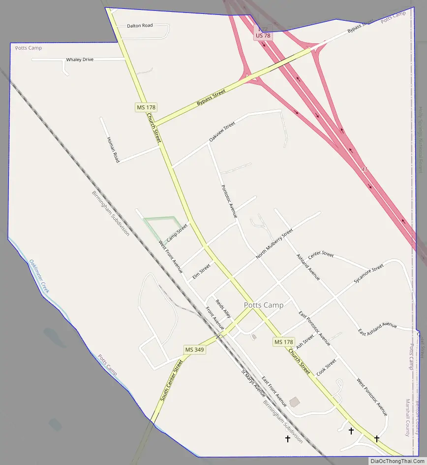
Potts Camp Road Map
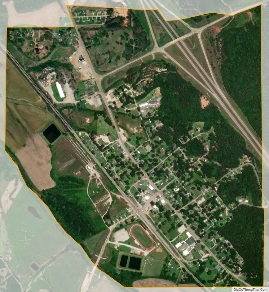
Potts Camp city Satellite Map
Geography
Potts Camp is located at 34°38′53″N 89°18′17″W / 34.64806°N 89.30472°W / 34.64806; -89.30472 (34.647997, -89.304598). The town is located northeast of Oxford along Mississippi Highway 178. Interstate 22 passes through the northern part of town. Oaklimeter Creek, a tributary of the Tippah River, runs along Potts Camp’s southwestern boundary
According to the United States Census Bureau, the town has a total area of 0.9 square miles (2.3 km), all land.
See also
Map of Mississippi State and its subdivision:- Adams
- Alcorn
- Amite
- Attala
- Benton
- Bolivar
- Calhoun
- Carroll
- Chickasaw
- Choctaw
- Claiborne
- Clarke
- Clay
- Coahoma
- Copiah
- Covington
- Desoto
- Forrest
- Franklin
- George
- Greene
- Grenada
- Hancock
- Harrison
- Hinds
- Holmes
- Humphreys
- Issaquena
- Itawamba
- Jackson
- Jasper
- Jefferson
- Jefferson Davis
- Jones
- Kemper
- Lafayette
- Lamar
- Lauderdale
- Lawrence
- Leake
- Lee
- Leflore
- Lincoln
- Lowndes
- Madison
- Marion
- Marshall
- Monroe
- Montgomery
- Neshoba
- Newton
- Noxubee
- Oktibbeha
- Panola
- Pearl River
- Perry
- Pike
- Pontotoc
- Prentiss
- Quitman
- Rankin
- Scott
- Sharkey
- Simpson
- Smith
- Stone
- Sunflower
- Tallahatchie
- Tate
- Tippah
- Tishomingo
- Tunica
- Union
- Walthall
- Warren
- Washington
- Wayne
- Webster
- Wilkinson
- Winston
- Yalobusha
- Yazoo
- Alabama
- Alaska
- Arizona
- Arkansas
- California
- Colorado
- Connecticut
- Delaware
- District of Columbia
- Florida
- Georgia
- Hawaii
- Idaho
- Illinois
- Indiana
- Iowa
- Kansas
- Kentucky
- Louisiana
- Maine
- Maryland
- Massachusetts
- Michigan
- Minnesota
- Mississippi
- Missouri
- Montana
- Nebraska
- Nevada
- New Hampshire
- New Jersey
- New Mexico
- New York
- North Carolina
- North Dakota
- Ohio
- Oklahoma
- Oregon
- Pennsylvania
- Rhode Island
- South Carolina
- South Dakota
- Tennessee
- Texas
- Utah
- Vermont
- Virginia
- Washington
- West Virginia
- Wisconsin
- Wyoming