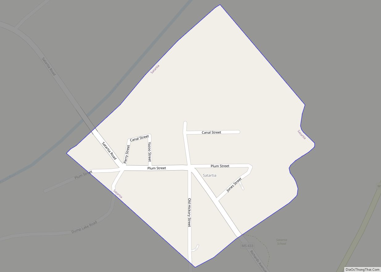
Satartia is a village in Yazoo County, Mississippi. Per the 2020 Census, the population was 41, Mississippi’s smallest incorporated municipality by population.
Located on the east bank of the Yazoo River, Satartia was once a thriving river port, and is one of the oldest non-Native settlements in Yazoo County.
| Name: | Satartia village |
|---|---|
| LSAD Code: | 47 |
| LSAD Description: | village (suffix) |
| State: | Mississippi |
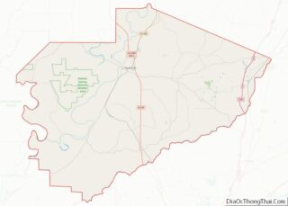
| County: | Yazoo County |
| Elevation: | 108 ft (33 m) |
| Total Area: | 0.14 sq mi (0.37 km²) |
| Land Area: | 0.14 sq mi (0.37 km²) |
| Water Area: | 0.00 sq mi (0.00 km²) |
| Total Population: | 41 |
| Population Density: | 284.72/sq mi (109.91/km²) |
| ZIP code: | 39162 |
| Area code: | 662 |
| FIPS code: | 2865680 |
| GNISfeature ID: | 0690988 |
Online Interactive Map
Click on ![]() to view map in "full screen" mode.
to view map in "full screen" mode.
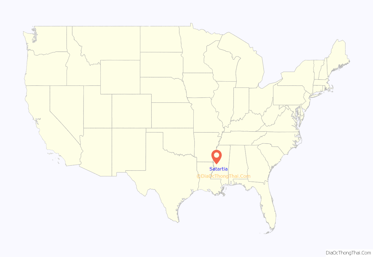
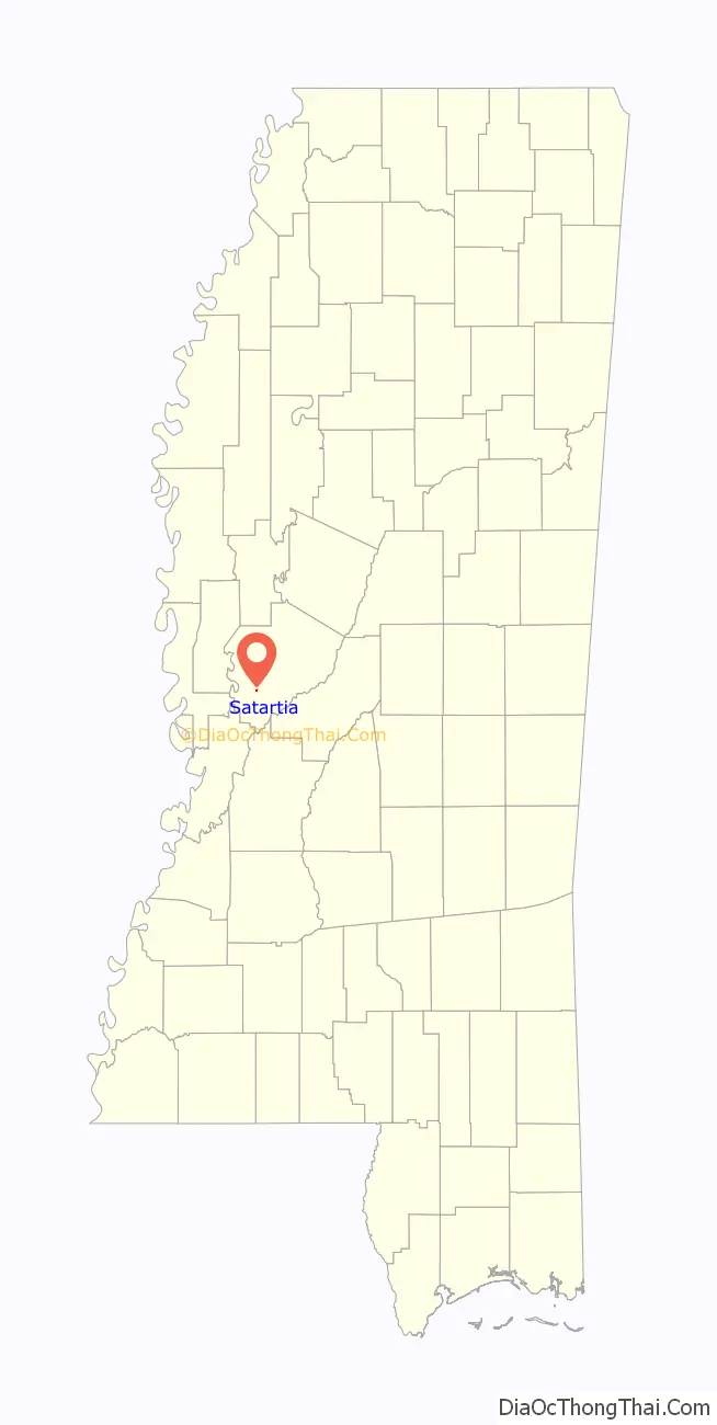
Satartia location map. Where is Satartia village?
History
Satartia is a Choctaw word meaning “pumpkin place”, likely due to the small gourds that grow in the area. In the early 1800s, Satartia was a busy shipping point from which cotton was transported by steamboat to New Orleans along the Yazoo River.
During the Civil War, General Grant sailed a gunboat from Vicksburg and captured the village; the Wilson House on Plum Street was used as his headquarters during the occupation. The war also produced the “Satartia Rifles”, a well-regarded Confederate regiment and recruitment group.
Late on February 22, 2020, a 24-inch pressurized pipeline owned by Denbury Resources and carrying liquid carbon dioxide and hydrogen sulfide ruptured less than half a mile from Satartia. More than 300 people were evacuated and 46 hospitalized with carbon dioxide poisoning.
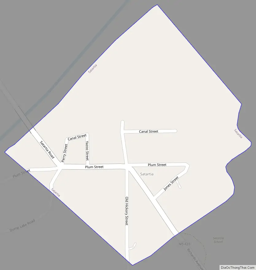
Satartia Road Map
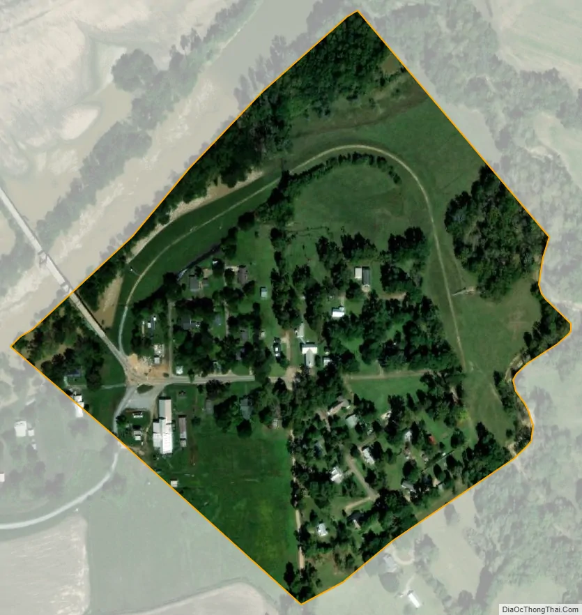
Satartia city Satellite Map
Geography
According to the United States Census Bureau, the village has a total area of 0.2 square miles (0.52 km), all land.
See also
Map of Mississippi State and its subdivision:- Adams
- Alcorn
- Amite
- Attala
- Benton
- Bolivar
- Calhoun
- Carroll
- Chickasaw
- Choctaw
- Claiborne
- Clarke
- Clay
- Coahoma
- Copiah
- Covington
- Desoto
- Forrest
- Franklin
- George
- Greene
- Grenada
- Hancock
- Harrison
- Hinds
- Holmes
- Humphreys
- Issaquena
- Itawamba
- Jackson
- Jasper
- Jefferson
- Jefferson Davis
- Jones
- Kemper
- Lafayette
- Lamar
- Lauderdale
- Lawrence
- Leake
- Lee
- Leflore
- Lincoln
- Lowndes
- Madison
- Marion
- Marshall
- Monroe
- Montgomery
- Neshoba
- Newton
- Noxubee
- Oktibbeha
- Panola
- Pearl River
- Perry
- Pike
- Pontotoc
- Prentiss
- Quitman
- Rankin
- Scott
- Sharkey
- Simpson
- Smith
- Stone
- Sunflower
- Tallahatchie
- Tate
- Tippah
- Tishomingo
- Tunica
- Union
- Walthall
- Warren
- Washington
- Wayne
- Webster
- Wilkinson
- Winston
- Yalobusha
- Yazoo
- Alabama
- Alaska
- Arizona
- Arkansas
- California
- Colorado
- Connecticut
- Delaware
- District of Columbia
- Florida
- Georgia
- Hawaii
- Idaho
- Illinois
- Indiana
- Iowa
- Kansas
- Kentucky
- Louisiana
- Maine
- Maryland
- Massachusetts
- Michigan
- Minnesota
- Mississippi
- Missouri
- Montana
- Nebraska
- Nevada
- New Hampshire
- New Jersey
- New Mexico
- New York
- North Carolina
- North Dakota
- Ohio
- Oklahoma
- Oregon
- Pennsylvania
- Rhode Island
- South Carolina
- South Dakota
- Tennessee
- Texas
- Utah
- Vermont
- Virginia
- Washington
- West Virginia
- Wisconsin
- Wyoming