University is a census-designated place (CDP) and the official name for an area covering a portion of the University of Mississippi (Ole Miss) campus, in Lafayette County, Mississippi, United States. The CDP is surrounded by the city of Oxford. Its official United States Postal Service designation is “University, Mississippi”, with a ZIP Code of 38677.
The population at the 2010 census was 4,202, while the 2014 enrollment for Ole Miss was 20,112 in 2014.
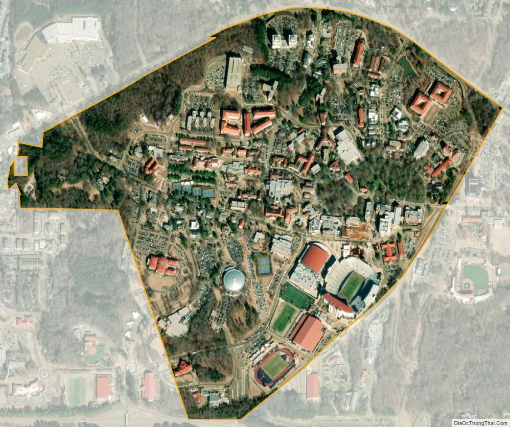
The University CDP is an enclave surrounded by the city of Oxford, west of its downtown area. It has an area of 0.70 square miles (1.82 km), all of it recorded as land.
| Name: | University CDP |
|---|---|
| LSAD Code: | 57 |
| LSAD Description: | CDP (suffix) |
| State: | Mississippi |
| County: | Lafayette County |
| Elevation: | 500 ft (200 m) |
| Total Area: | 0.70 sq mi (1.82 km²) |
| Land Area: | 0.70 sq mi (1.82 km²) |
| Water Area: | 0.00 sq mi (0.00 km²) |
| Total Population: | 4,696 |
| Population Density: | 6,670.45/sq mi (2,574.13/km²) |
| ZIP code: | 38677 |
| Area code: | 662 |
| FIPS code: | 2875520 |
| GNISfeature ID: | 2586613 |
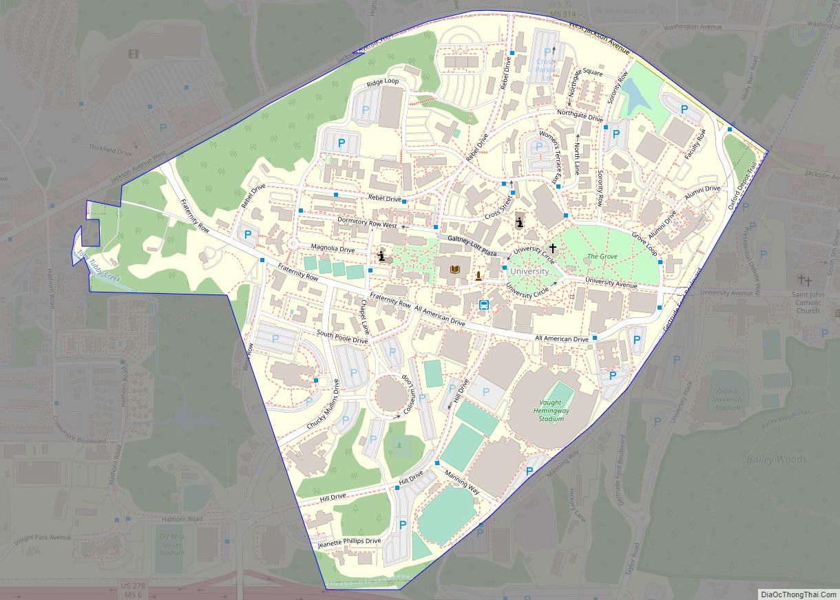
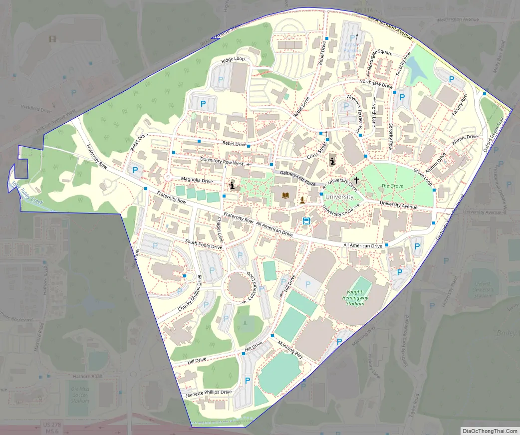
Online Interactive Map
Click on ![]() to view map in "full screen" mode.
to view map in "full screen" mode.
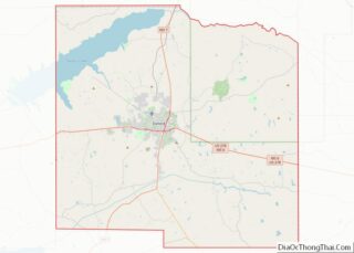
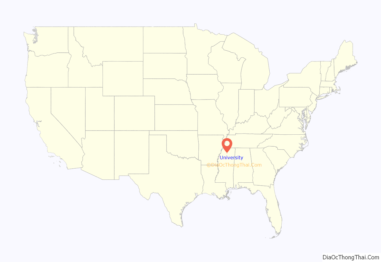
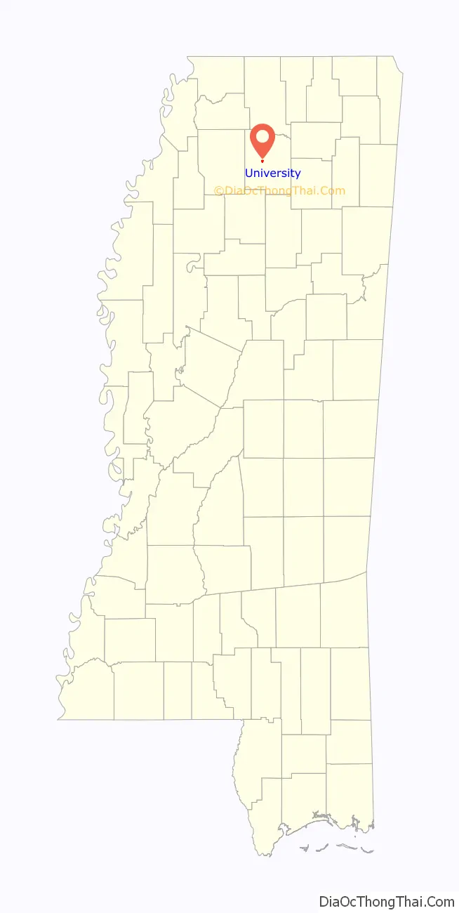
University location map. Where is University CDP?
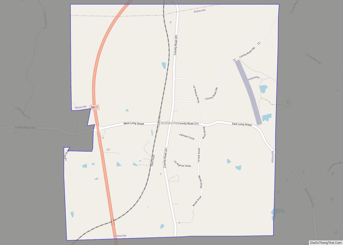
University Road Map
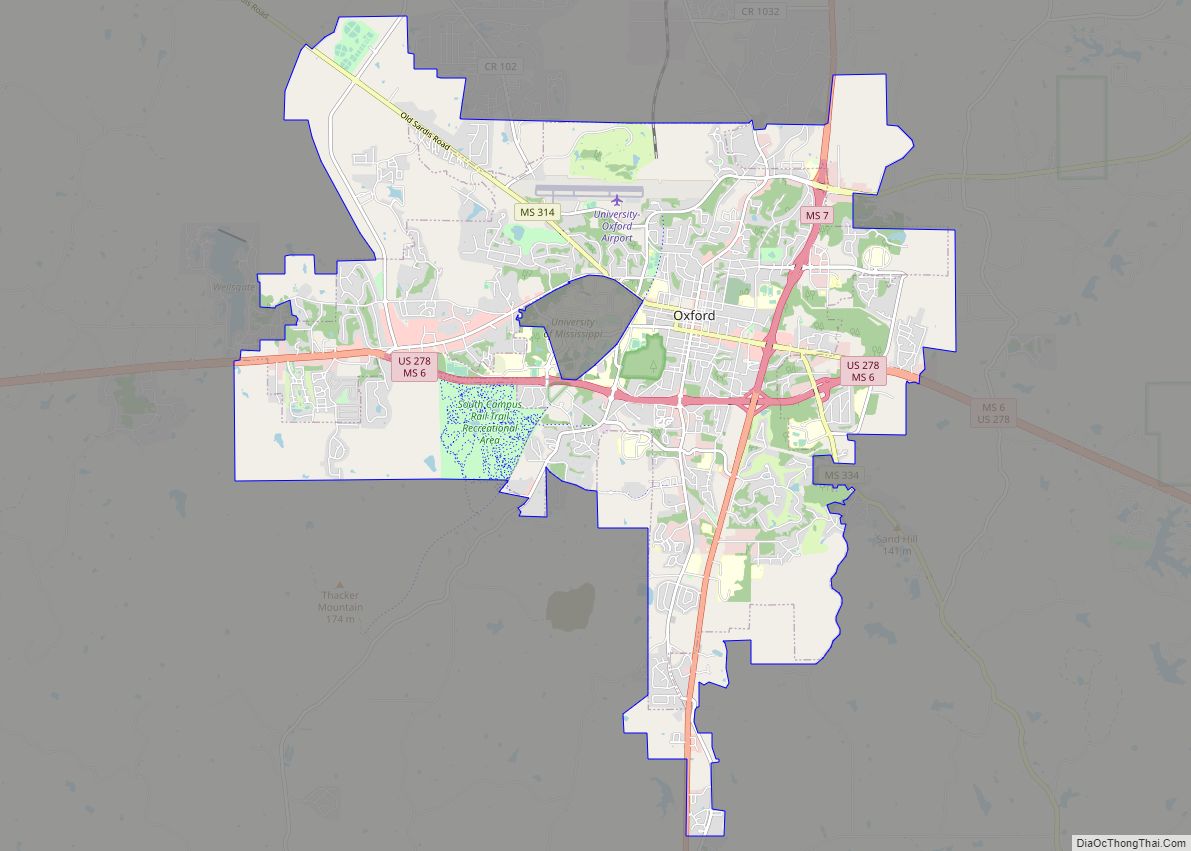
University city Satellite Map
See also
Map of Mississippi State and its subdivision:- Adams
- Alcorn
- Amite
- Attala
- Benton
- Bolivar
- Calhoun
- Carroll
- Chickasaw
- Choctaw
- Claiborne
- Clarke
- Clay
- Coahoma
- Copiah
- Covington
- Desoto
- Forrest
- Franklin
- George
- Greene
- Grenada
- Hancock
- Harrison
- Hinds
- Holmes
- Humphreys
- Issaquena
- Itawamba
- Jackson
- Jasper
- Jefferson
- Jefferson Davis
- Jones
- Kemper
- Lafayette
- Lamar
- Lauderdale
- Lawrence
- Leake
- Lee
- Leflore
- Lincoln
- Lowndes
- Madison
- Marion
- Marshall
- Monroe
- Montgomery
- Neshoba
- Newton
- Noxubee
- Oktibbeha
- Panola
- Pearl River
- Perry
- Pike
- Pontotoc
- Prentiss
- Quitman
- Rankin
- Scott
- Sharkey
- Simpson
- Smith
- Stone
- Sunflower
- Tallahatchie
- Tate
- Tippah
- Tishomingo
- Tunica
- Union
- Walthall
- Warren
- Washington
- Wayne
- Webster
- Wilkinson
- Winston
- Yalobusha
- Yazoo
- Alabama
- Alaska
- Arizona
- Arkansas
- California
- Colorado
- Connecticut
- Delaware
- District of Columbia
- Florida
- Georgia
- Hawaii
- Idaho
- Illinois
- Indiana
- Iowa
- Kansas
- Kentucky
- Louisiana
- Maine
- Maryland
- Massachusetts
- Michigan
- Minnesota
- Mississippi
- Missouri
- Montana
- Nebraska
- Nevada
- New Hampshire
- New Jersey
- New Mexico
- New York
- North Carolina
- North Dakota
- Ohio
- Oklahoma
- Oregon
- Pennsylvania
- Rhode Island
- South Carolina
- South Dakota
- Tennessee
- Texas
- Utah
- Vermont
- Virginia
- Washington
- West Virginia
- Wisconsin
- Wyoming