Walnut Grove is a town in Leake County, Mississippi, United States. The population was 510 at the 2020 census, a sharp decrease from 1,911 at the 2010 census, due to the Walnut Grove Youth Correctional Facility being closed by the state in September 2016 because of repeated problems at the troubled facility. It had been privately owned and operated since 2001 under a contract with the state Department of Corrections. By 2011 it was the largest juvenile facility in the nation.
Golden Memorial State Park is located east of the town.
| Name: | Walnut Grove town |
|---|---|
| LSAD Code: | 43 |
| LSAD Description: | town (suffix) |
| State: | Mississippi |
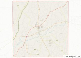
| County: | Leake County |
| Elevation: | 361 ft (110 m) |
| Total Area: | 1.62 sq mi (4.19 km²) |
| Land Area: | 1.62 sq mi (4.19 km²) |
| Water Area: | 0.00 sq mi (0.00 km²) |
| Total Population: | 510 |
| Population Density: | 315.59/sq mi (121.86/km²) |
| ZIP code: | 39189 |
| Area code: | 601 |
| FIPS code: | 2877520 |
| GNISfeature ID: | 0679299 |
| Website: | www.walnutgrove-ms.com |
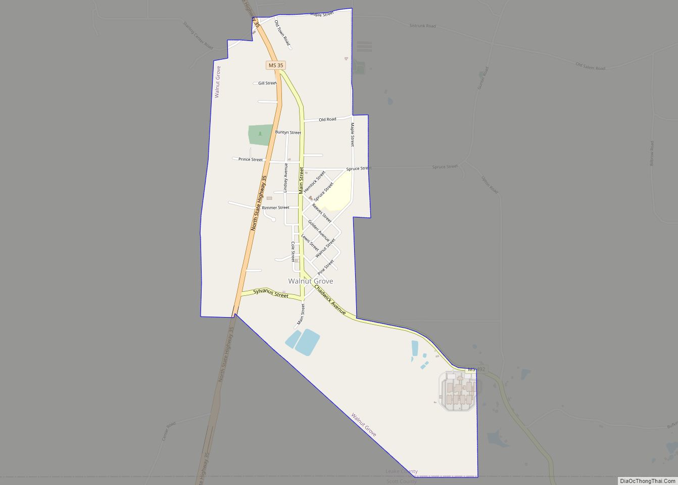
Online Interactive Map
Click on ![]() to view map in "full screen" mode.
to view map in "full screen" mode.
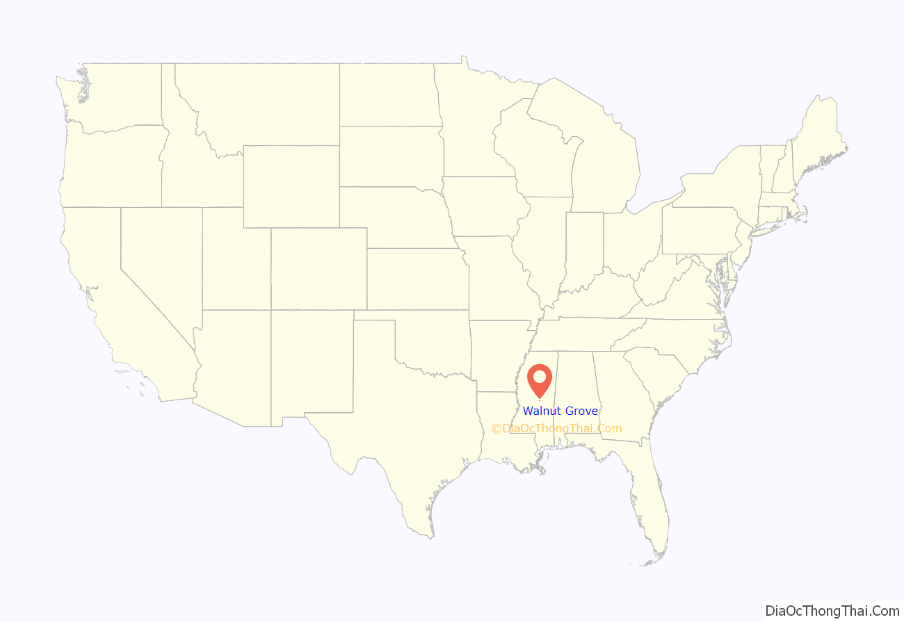
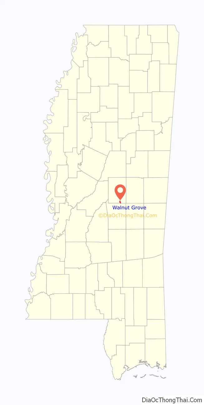
Walnut Grove location map. Where is Walnut Grove town?
History
Walnut Grove began as a European-American settlement in a nearby location, now referred to as “Old Walnut Grove”. This area was developed as cotton plantations in the antebellum era. The town was incorporated in 1884. A post office was established in 1854, and in the early 1900s, electricity and street lights were installed.
The Jackson and Eastern Railway was completed from Union, Mississippi to Walnut Grove in 1923, and then extended to nearby Tuscola, Mississippi in 1925.
The town was surveyed at its present location in 1923. Two canals were built near Walnut Grove in the late 1920s to improve transportation. Walnut Grove received a telephone franchise in 1927, and was connected to the Forest exchange. In 1962, a sewage and water system was installed, and in 1966, natural gas was installed. In 1970, the town organized and trained a volunteer fire department, though the first fire truck was not purchased until 1974.
Walnut Grove’s Town Marshal J.T. “Jake” Trest, was murdered in 1979. His killer, Edward Earl Johnson, was executed in 1987.
In 1981, William Grady Sims, was elected as mayor of Walnut Grove and was repeatedly re-elected, serving until 2012. He was one of the longest-serving mayors in the state. By 2006 the town annexed the property of the Walnut Grove Youth Correctional Facility, which had been constructed nearby in the county in 2001. It added a large area and population of prisoners to the town. As the facility was privately owned, although operated under contract to the state, it made payments to the city in lieu of taxes. In addition, the operating company appointed Sims as warden of the prison in 2009. The company’s payments in lieu of taxes for the prison constituted 15% of the city’s budget in 2011. State expansion of the prison population at this facility made it the largest youth facility in the nation.
In 2009, Sims took a female prisoner to a nearby motel and raped her. He was convicted of charges and sentenced to seven months in confinement. Numerous investigations of conditions at the prison resulted in a class-action suit filed in 2010 in federal court against its management and the state. The federal government started a separate investigation by the Department of Justice. Sims resigned as warden. In 2011 he was indicted on two federal charges; in February 2012 he resigned as mayor under a federal plea agreement.
In October 2011, he was ordered by the state auditor to pay “$31,530 for using city employees and equipment to work on private prisons in the area, including the one he ran.”
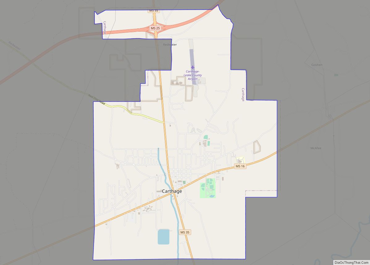
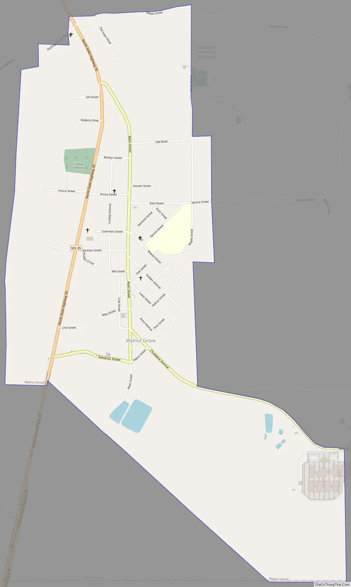
Walnut Grove Road Map
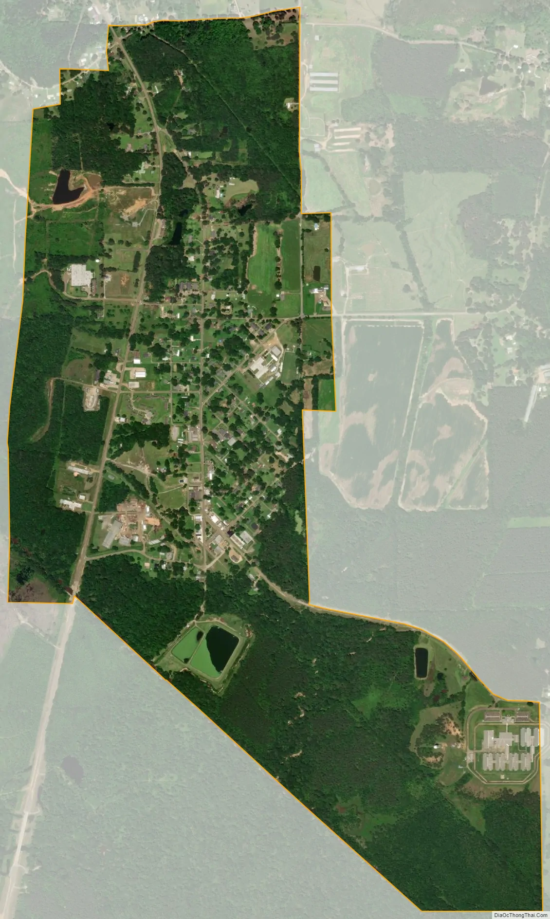
Walnut Grove city Satellite Map
Geography
According to the United States Census Bureau, the town has a total area of 0.8 square miles (2.1 km), all land.
Cityscape
The community’s town hall, post office, and library are in the central part of Walnut Grove.
See also
Map of Mississippi State and its subdivision:- Adams
- Alcorn
- Amite
- Attala
- Benton
- Bolivar
- Calhoun
- Carroll
- Chickasaw
- Choctaw
- Claiborne
- Clarke
- Clay
- Coahoma
- Copiah
- Covington
- Desoto
- Forrest
- Franklin
- George
- Greene
- Grenada
- Hancock
- Harrison
- Hinds
- Holmes
- Humphreys
- Issaquena
- Itawamba
- Jackson
- Jasper
- Jefferson
- Jefferson Davis
- Jones
- Kemper
- Lafayette
- Lamar
- Lauderdale
- Lawrence
- Leake
- Lee
- Leflore
- Lincoln
- Lowndes
- Madison
- Marion
- Marshall
- Monroe
- Montgomery
- Neshoba
- Newton
- Noxubee
- Oktibbeha
- Panola
- Pearl River
- Perry
- Pike
- Pontotoc
- Prentiss
- Quitman
- Rankin
- Scott
- Sharkey
- Simpson
- Smith
- Stone
- Sunflower
- Tallahatchie
- Tate
- Tippah
- Tishomingo
- Tunica
- Union
- Walthall
- Warren
- Washington
- Wayne
- Webster
- Wilkinson
- Winston
- Yalobusha
- Yazoo
- Alabama
- Alaska
- Arizona
- Arkansas
- California
- Colorado
- Connecticut
- Delaware
- District of Columbia
- Florida
- Georgia
- Hawaii
- Idaho
- Illinois
- Indiana
- Iowa
- Kansas
- Kentucky
- Louisiana
- Maine
- Maryland
- Massachusetts
- Michigan
- Minnesota
- Mississippi
- Missouri
- Montana
- Nebraska
- Nevada
- New Hampshire
- New Jersey
- New Mexico
- New York
- North Carolina
- North Dakota
- Ohio
- Oklahoma
- Oregon
- Pennsylvania
- Rhode Island
- South Carolina
- South Dakota
- Tennessee
- Texas
- Utah
- Vermont
- Virginia
- Washington
- West Virginia
- Wisconsin
- Wyoming