Wesson is a town in Copiah and Lincoln counties, Mississippi, United States. The population was 1,925 at the 2010 census. It is part of the Jackson Metropolitan Statistical Area.
| Name: | Wesson town |
|---|---|
| LSAD Code: | 43 |
| LSAD Description: | town (suffix) |
| State: | Mississippi |
| County: | Copiah County, Lincoln County |
| Elevation: | 466 ft (142 m) |
| Total Area: | 4.51 sq mi (11.67 km²) |
| Land Area: | 4.50 sq mi (11.67 km²) |
| Water Area: | 0.00 sq mi (0.00 km²) |
| Total Population: | 1,833 |
| Population Density: | 406.88/sq mi (157.09/km²) |
| ZIP code: | 39191 |
| Area code: | 601 |
| FIPS code: | 2878640 |
| GNISfeature ID: | 679462 |
| Website: | wessonms.org |
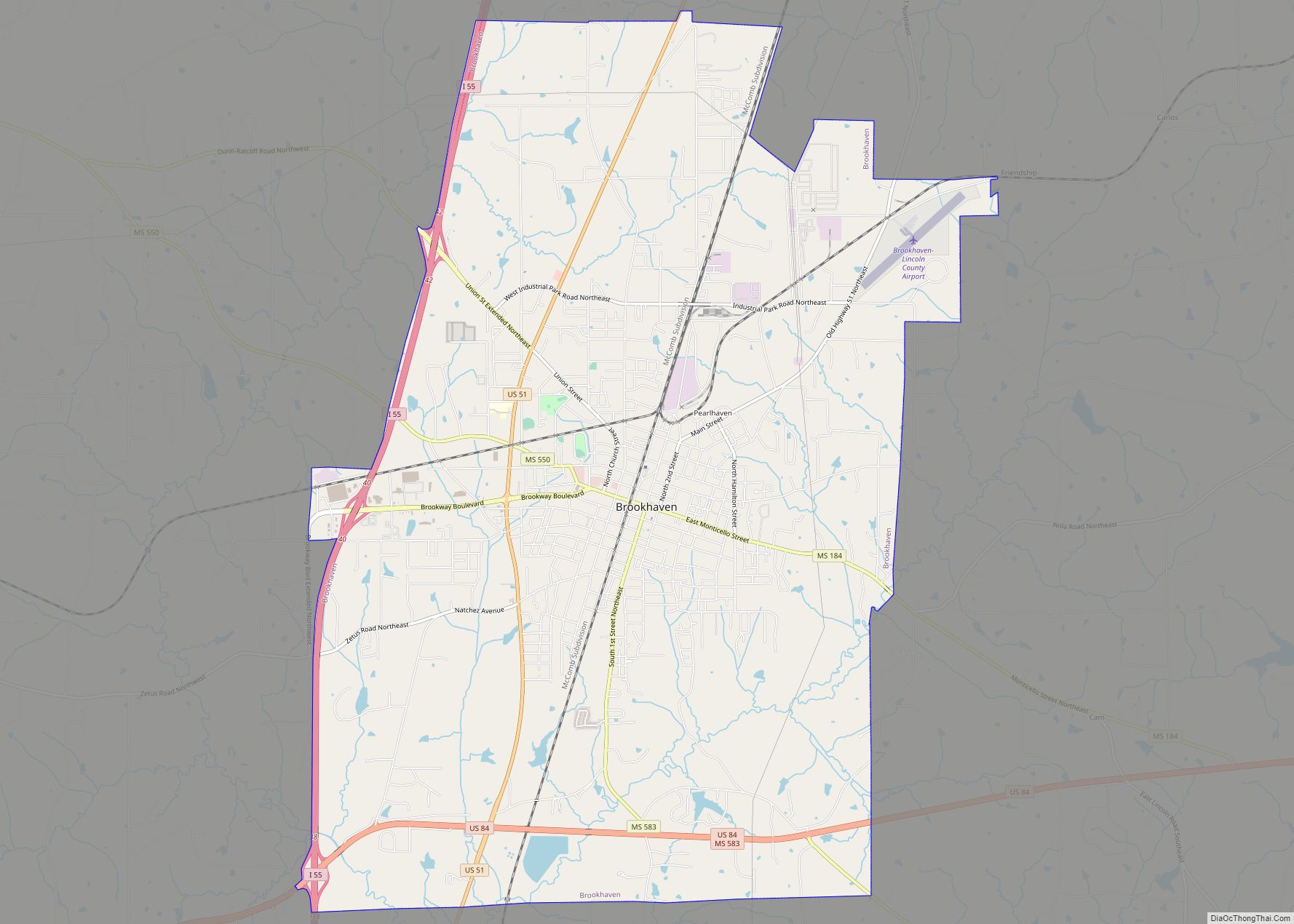
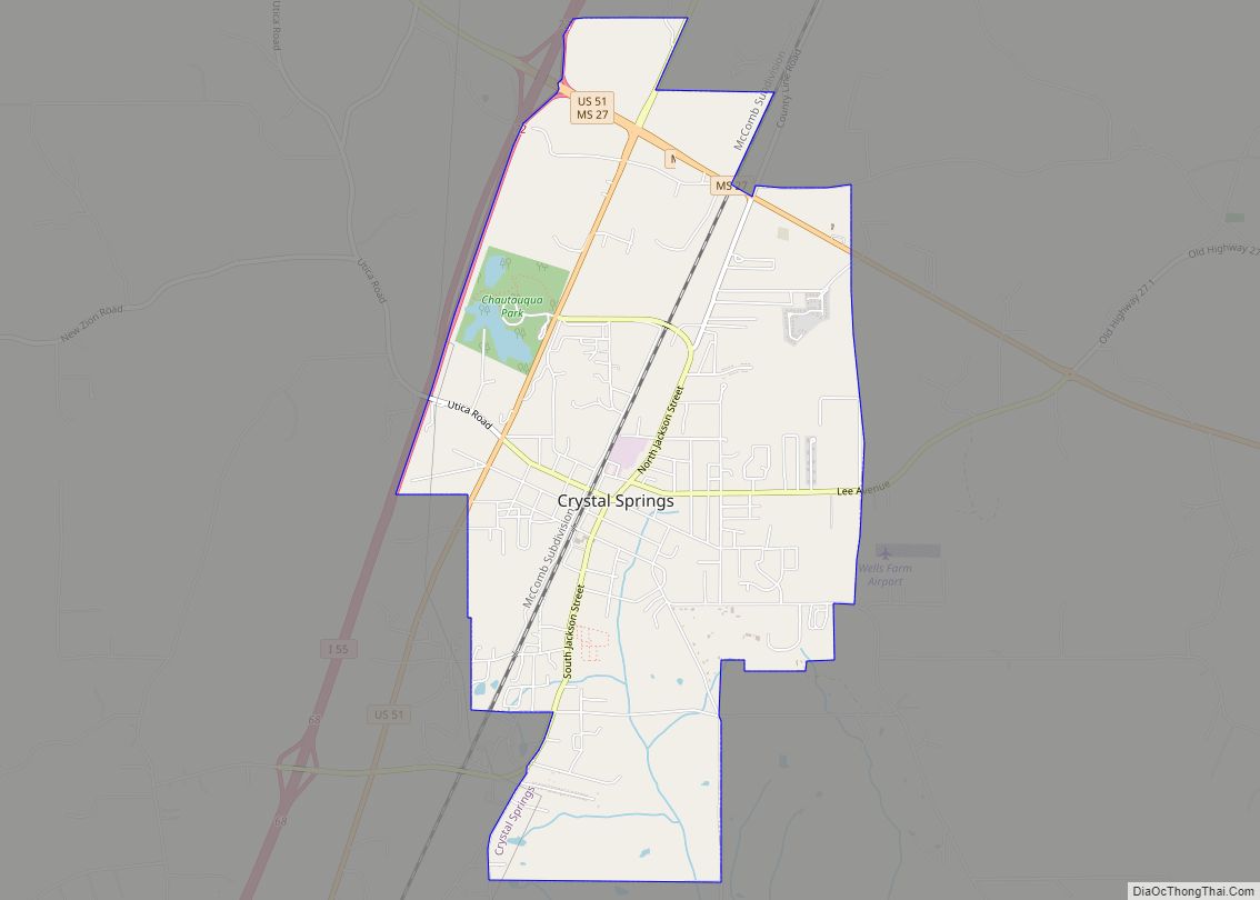
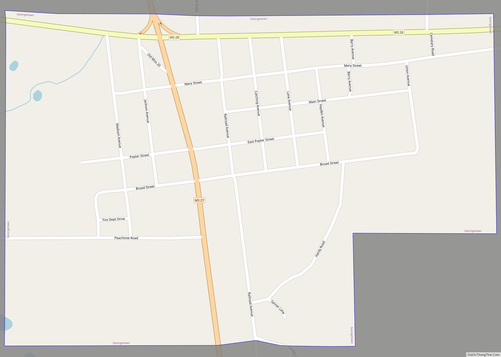
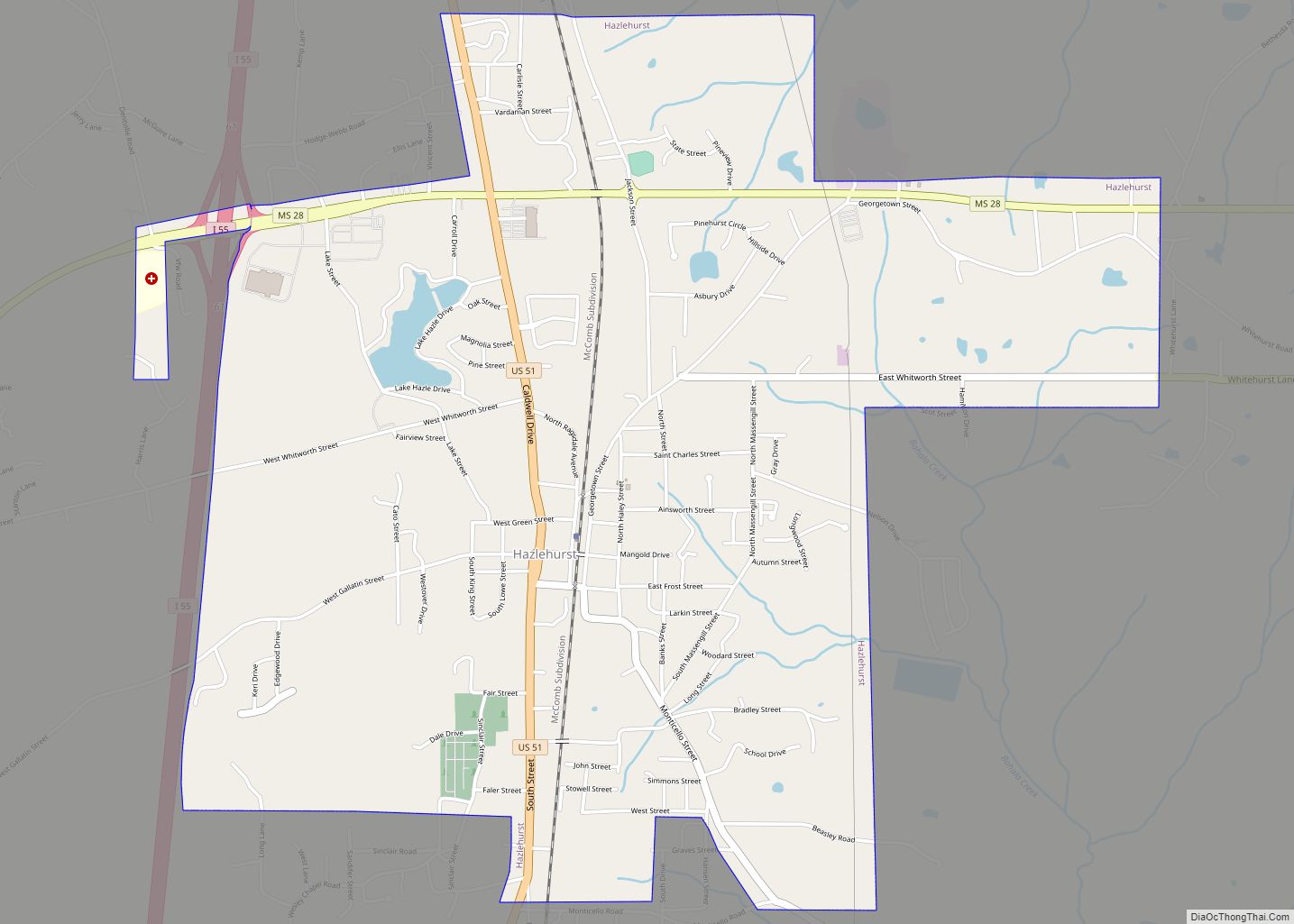
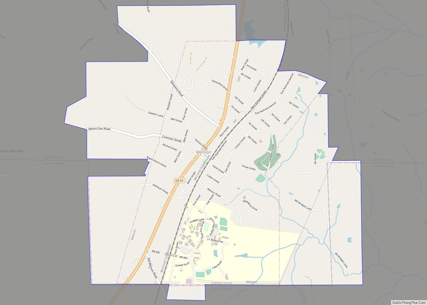
Online Interactive Map
Click on ![]() to view map in "full screen" mode.
to view map in "full screen" mode.
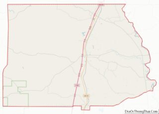
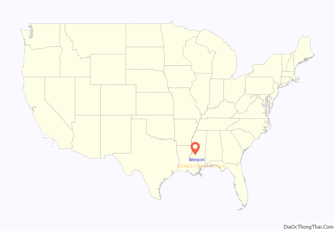
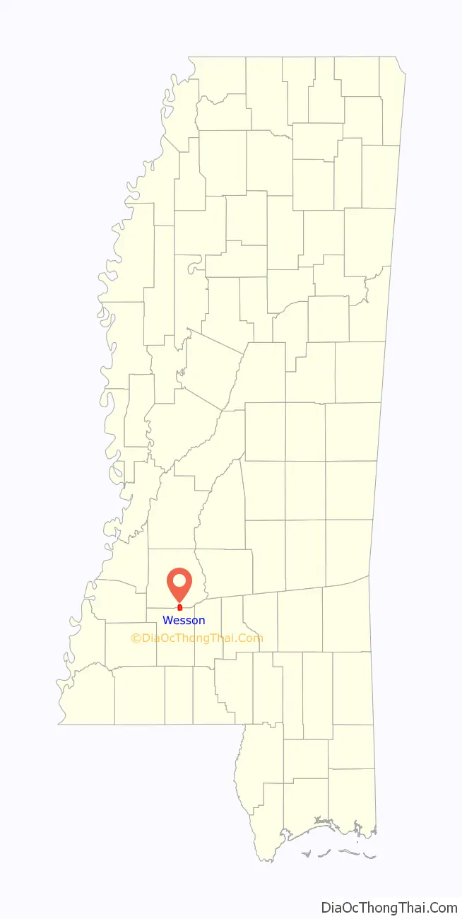
Wesson location map. Where is Wesson town?
History
The town of Wesson was founded in 1864, during the Civil War, by Col. James Madison Wesson. Having lost his mills at Bankston, Wesson relocated to the town that now bears his name. There he built the Mississippi Manufacturing Company which produced a fine quality cotton fabric. In 1871 he sold the mill to William Oliver and John T. Hardy who renamed it the Mississippi Mills.
The mills became famous for the quality of cotton fabric produced which was dubbed “Mississippi silk” at the Centennial celebration of 1876. A product of the Industrial Revolution, the mills in Wesson began to utilize the new technology of the rapidly changing age. One year after Thomas Edison perfected the light bulb, the Mississippi Mills put them to use. It was said that passengers on the evening train would rush to the windows when passing through Wesson in order to see the marvelous lights.
This prosperity, however, came to an end after the death of Captain Oliver in 1891. Financial difficulties followed by the economic Panic of 1893, family conflict, and labor disputes caused the mills to fall into receivership in the early 1900s. Eventually, the mills were dismantled and sold for scrap during the First World War.
The first public school in Wesson was built in 1875, and the community college was added in 1928.
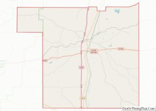
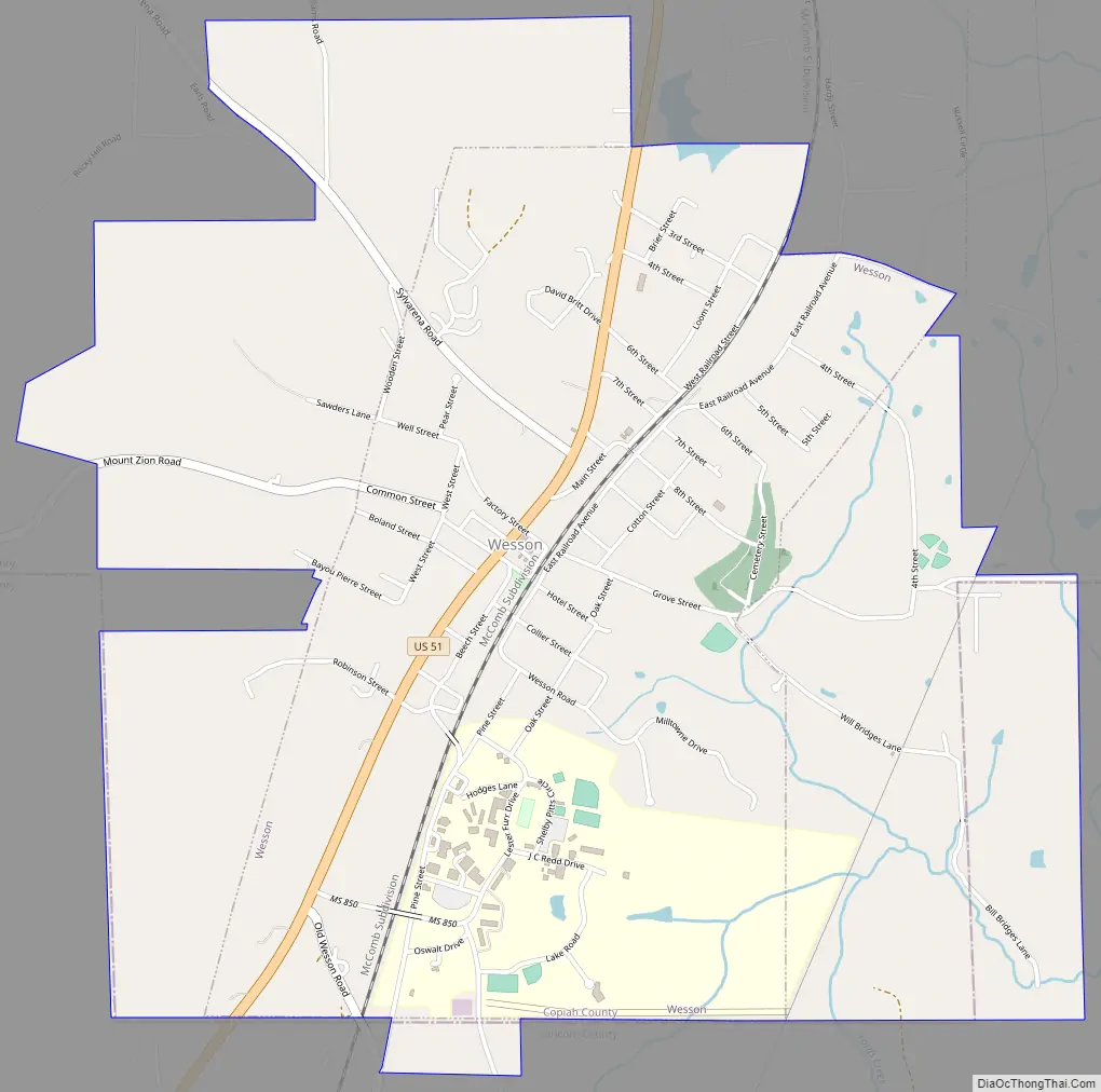
Wesson Road Map
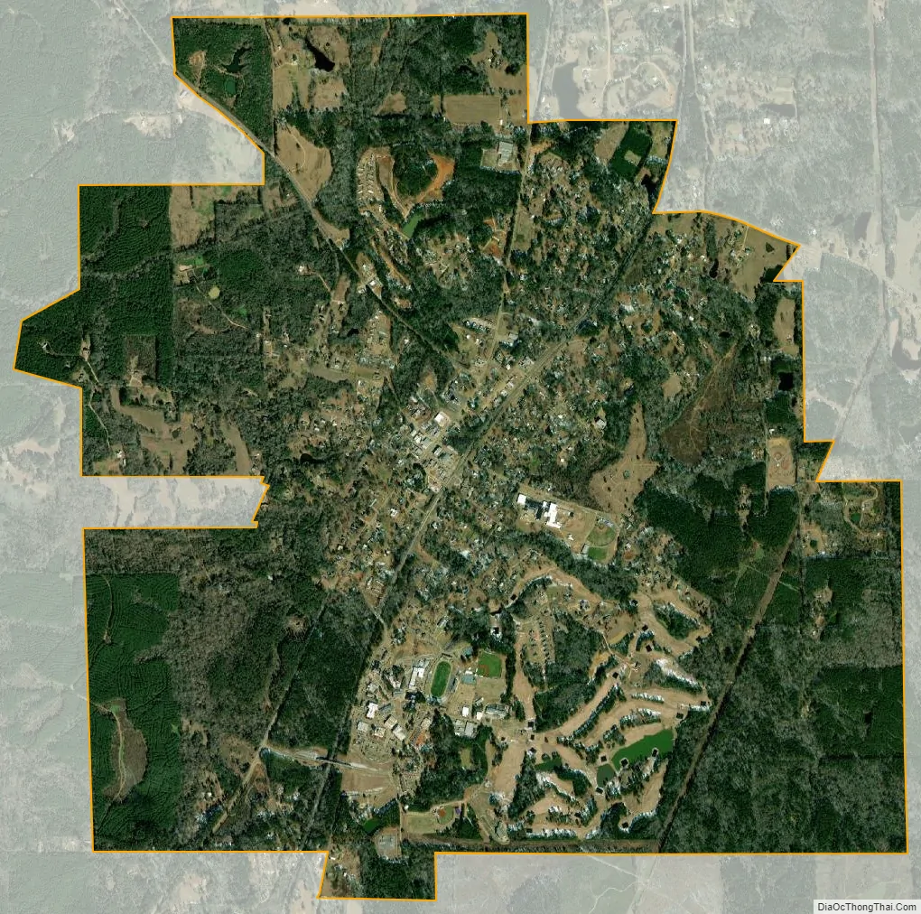
Wesson city Satellite Map
Geography
Wesson is located in southernmost Copiah County. Small portions of the town extend south and east into Lincoln County. U.S. Route 51 passes through the town, leading north 11 miles (18 km) to Hazlehurst, the Copiah county seat, and south 9 miles (14 km) to Brookhaven. Exit 48 on Interstate 55 is located 3.5 miles (5.6 km) west of town on Mount Zion Road.
According to the United States Census Bureau, the town has a total area of 4.4 square miles (11.5 km), all land.
See also
Map of Mississippi State and its subdivision:- Adams
- Alcorn
- Amite
- Attala
- Benton
- Bolivar
- Calhoun
- Carroll
- Chickasaw
- Choctaw
- Claiborne
- Clarke
- Clay
- Coahoma
- Copiah
- Covington
- Desoto
- Forrest
- Franklin
- George
- Greene
- Grenada
- Hancock
- Harrison
- Hinds
- Holmes
- Humphreys
- Issaquena
- Itawamba
- Jackson
- Jasper
- Jefferson
- Jefferson Davis
- Jones
- Kemper
- Lafayette
- Lamar
- Lauderdale
- Lawrence
- Leake
- Lee
- Leflore
- Lincoln
- Lowndes
- Madison
- Marion
- Marshall
- Monroe
- Montgomery
- Neshoba
- Newton
- Noxubee
- Oktibbeha
- Panola
- Pearl River
- Perry
- Pike
- Pontotoc
- Prentiss
- Quitman
- Rankin
- Scott
- Sharkey
- Simpson
- Smith
- Stone
- Sunflower
- Tallahatchie
- Tate
- Tippah
- Tishomingo
- Tunica
- Union
- Walthall
- Warren
- Washington
- Wayne
- Webster
- Wilkinson
- Winston
- Yalobusha
- Yazoo
- Alabama
- Alaska
- Arizona
- Arkansas
- California
- Colorado
- Connecticut
- Delaware
- District of Columbia
- Florida
- Georgia
- Hawaii
- Idaho
- Illinois
- Indiana
- Iowa
- Kansas
- Kentucky
- Louisiana
- Maine
- Maryland
- Massachusetts
- Michigan
- Minnesota
- Mississippi
- Missouri
- Montana
- Nebraska
- Nevada
- New Hampshire
- New Jersey
- New Mexico
- New York
- North Carolina
- North Dakota
- Ohio
- Oklahoma
- Oregon
- Pennsylvania
- Rhode Island
- South Carolina
- South Dakota
- Tennessee
- Texas
- Utah
- Vermont
- Virginia
- Washington
- West Virginia
- Wisconsin
- Wyoming