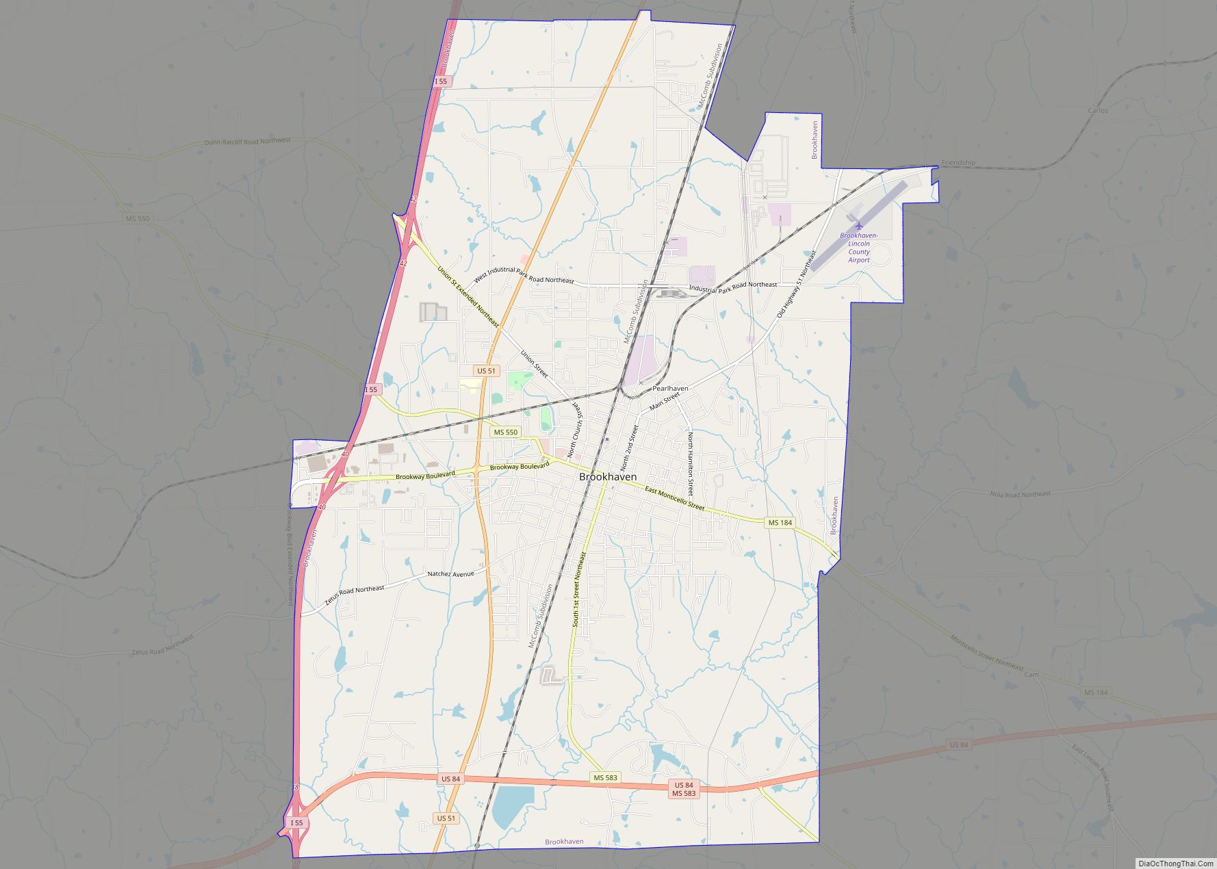
Brookhaven is a small city in Lincoln County, Mississippi, United States, 55 miles (89 km) south of the state capital of Jackson. The population was 11,674 people at the 2020 U.S. Census. It is the county seat of Lincoln County. It was named after the town of Brookhaven, New York, by founder Samuel Jayne in 1818.
| Name: | Brookhaven city |
|---|---|
| LSAD Code: | 25 |
| LSAD Description: | city (suffix) |
| State: | Mississippi |
| County: | Lincoln County |
| Elevation: | 489 ft (149 m) |
| Total Area: | 21.73 sq mi (56.28 km²) |
| Land Area: | 21.64 sq mi (56.05 km²) |
| Water Area: | 0.09 sq mi (0.23 km²) |
| Total Population: | 11,674 |
| Population Density: | 539.41/sq mi (208.27/km²) |
| ZIP code: | 39601-39603 |
| Area code: | 601 |
| FIPS code: | 2808820 |
| GNISfeature ID: | 0667590 |
| Website: | brookhaven-ms.gov |
Online Interactive Map
Click on ![]() to view map in "full screen" mode.
to view map in "full screen" mode.
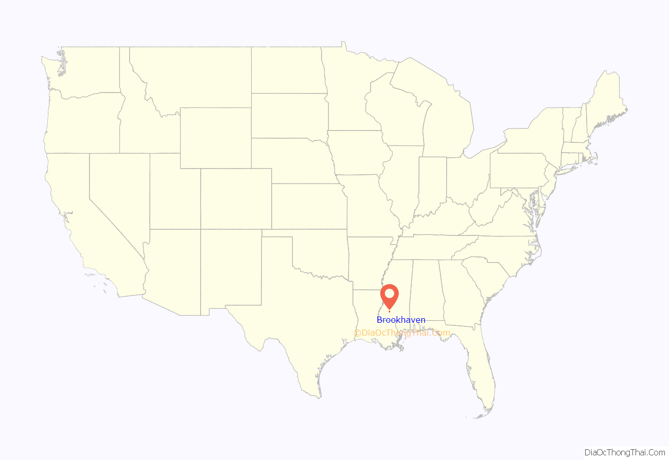
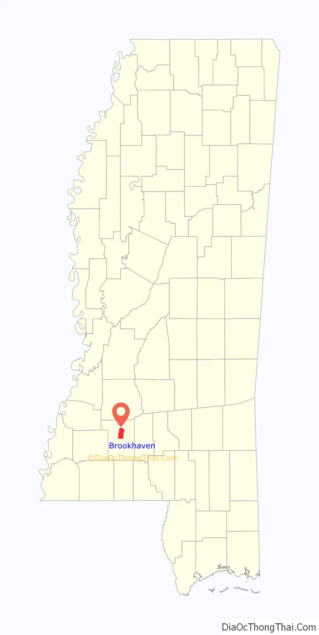
Brookhaven location map. Where is Brookhaven city?
History
Brookhaven is located in what was formerly territory of the Choctaw. The city was founded in 1818 by Samuel Jayne from New York, who named it after the town of Brookhaven on Long Island. Most of the Choctaw were forced out of Mississippi in the 1830s under Indian Removal, and were given lesser land in Indian Territory.
The railroad was constructed through Brookhaven in 1858. It connected Brookhaven with New Orleans to the south and Memphis to the north.
During the Civil War, Brookhaven was briefly occupied at noon on April 29, 1863, by a raiding party of Union cavalry under the command of Colonel Benjamin Grierson. The Union force burned public buildings and destroyed the railroad. This was rebuilt after the war.
In 1936 Brookhaven was chosen as the site of the Stahl-Urban garment plant.
In 1955, Lamar Smith, a black farmer and World War I veteran, was shot to death by whites mid-day on the lawn of the county courthouse in Brookhaven. He had been working to organize voter registration among blacks, who had been largely disenfranchised in the state since 1890 by barriers created by whites. After World War II, Smith was among the many veterans who became activists for civil rights, determined to regain their constitutional rights. Nobody was prosecuted for his murder.
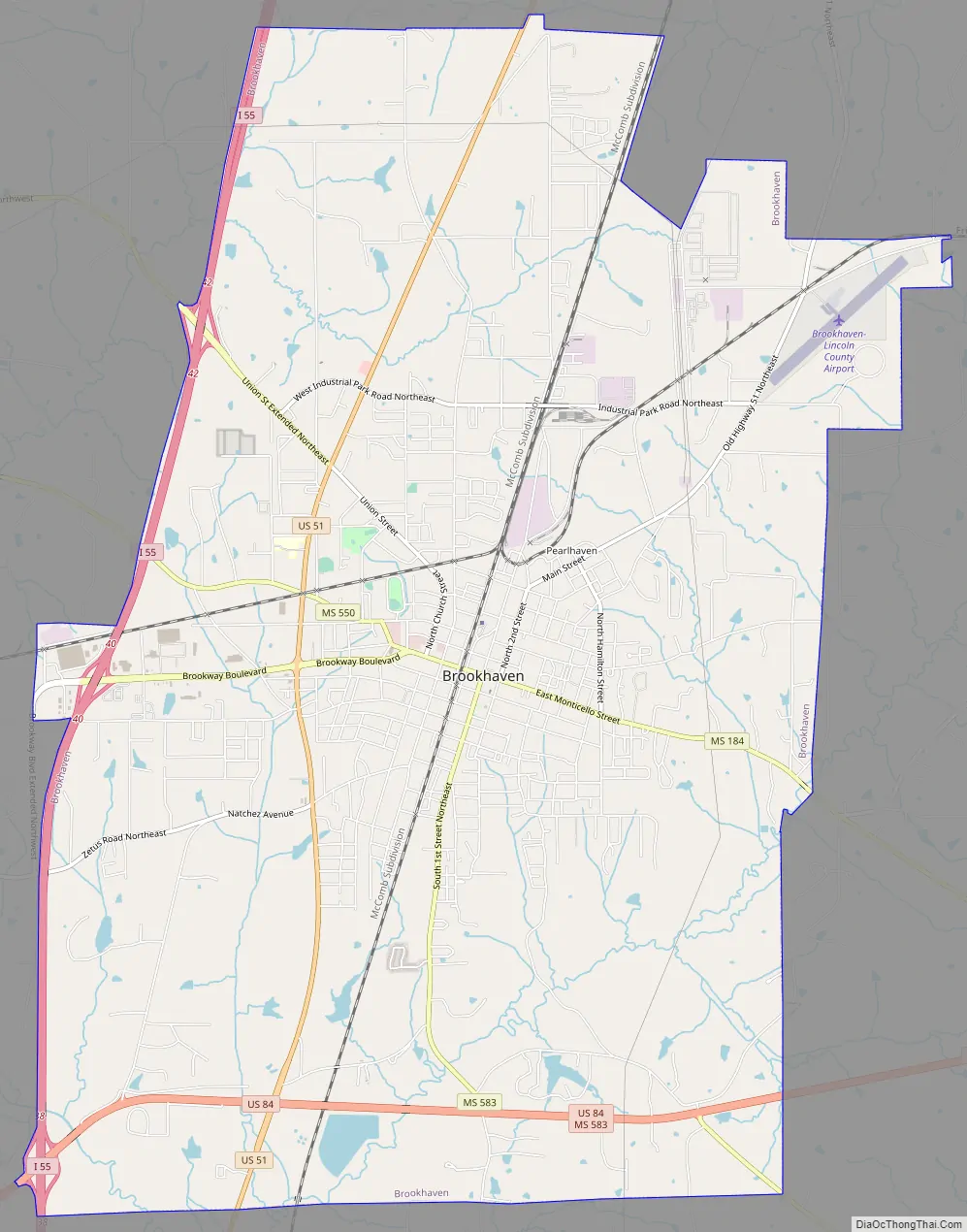
Brookhaven Road Map
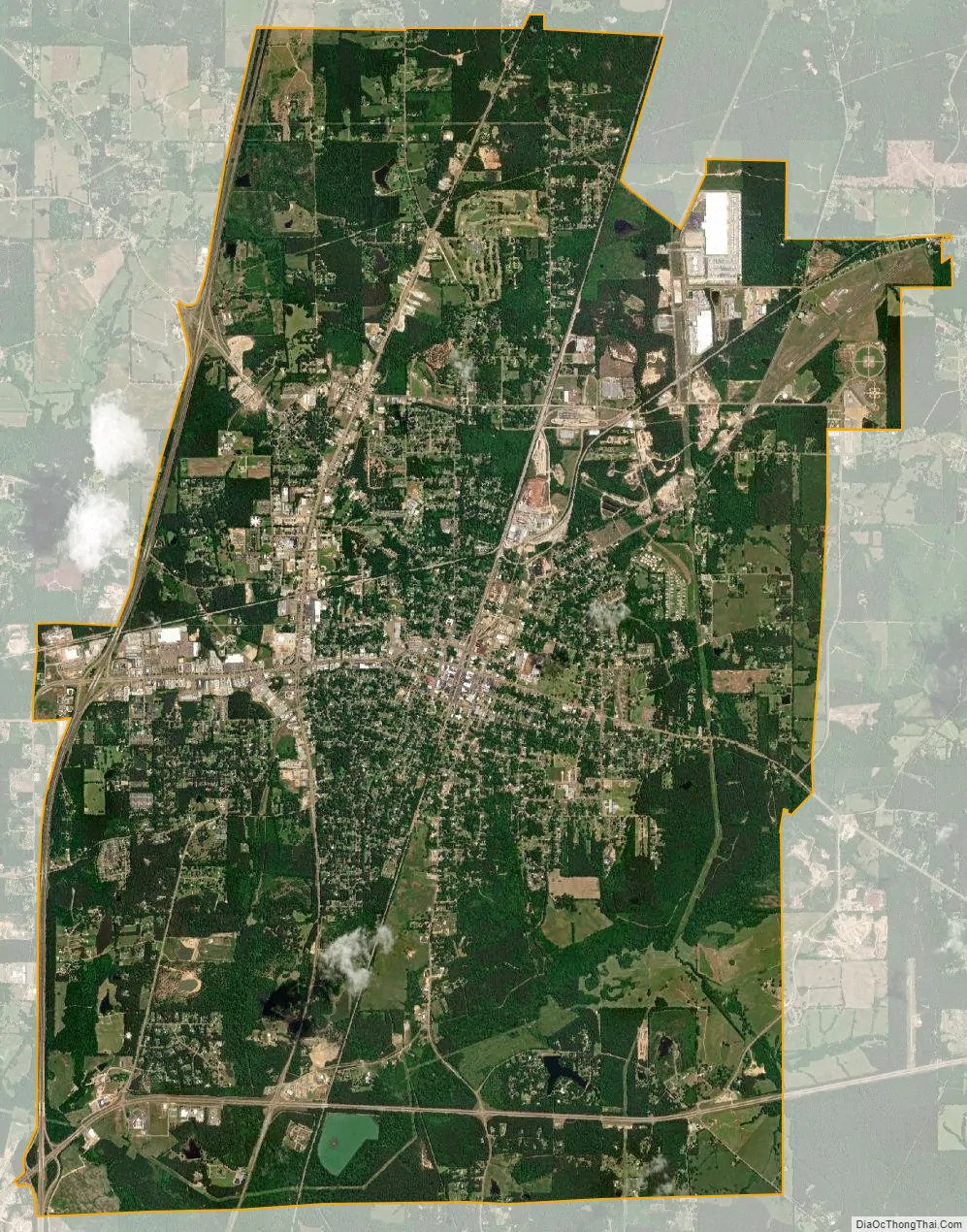
Brookhaven city Satellite Map
Geography
Brookhaven is in central Lincoln County. Interstate 55 passes through the west side of the city, with access from Exits 38, 40, and 42. I-55 leads north 55 miles (89 km) to Jackson, the state capital, and south 79 miles (127 km) to Hammond, Louisiana. U.S. Route 51 runs parallel to I-55, passing through the west side of Brookhaven closer to the city center. US-51 leads north 20 miles (32 km) to Hazlehurst and south 25 miles (40 km) to McComb. U.S. Route 84 passes through the south side of Brookhaven, leading east 36 miles (58 km) to Prentiss and west 61 miles (98 km) to Natchez.
According to the U.S. Census Bureau, the city has a total area of 21.7 square miles (56.3 km), of which 21.7 square miles (56.1 km) are land and 0.1 square miles (0.2 km), or 0.41%, are water. The city expanded in late 2007 to almost triple its previous area, through a vote of annexation, to bring in suburban developments surrounding the older town and equalize taxing and services provided to the new metropolitan area.
See also
Map of Mississippi State and its subdivision:- Adams
- Alcorn
- Amite
- Attala
- Benton
- Bolivar
- Calhoun
- Carroll
- Chickasaw
- Choctaw
- Claiborne
- Clarke
- Clay
- Coahoma
- Copiah
- Covington
- Desoto
- Forrest
- Franklin
- George
- Greene
- Grenada
- Hancock
- Harrison
- Hinds
- Holmes
- Humphreys
- Issaquena
- Itawamba
- Jackson
- Jasper
- Jefferson
- Jefferson Davis
- Jones
- Kemper
- Lafayette
- Lamar
- Lauderdale
- Lawrence
- Leake
- Lee
- Leflore
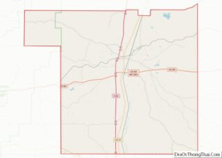
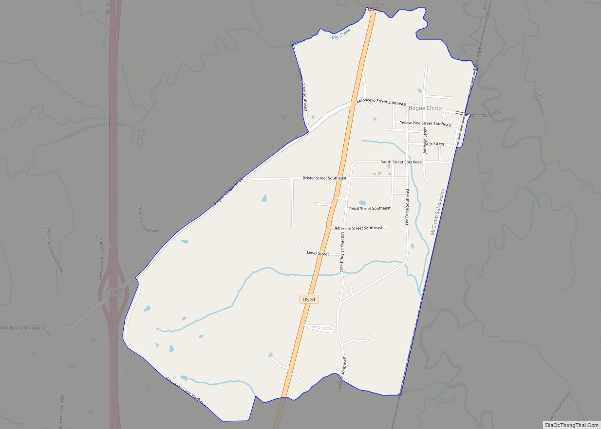
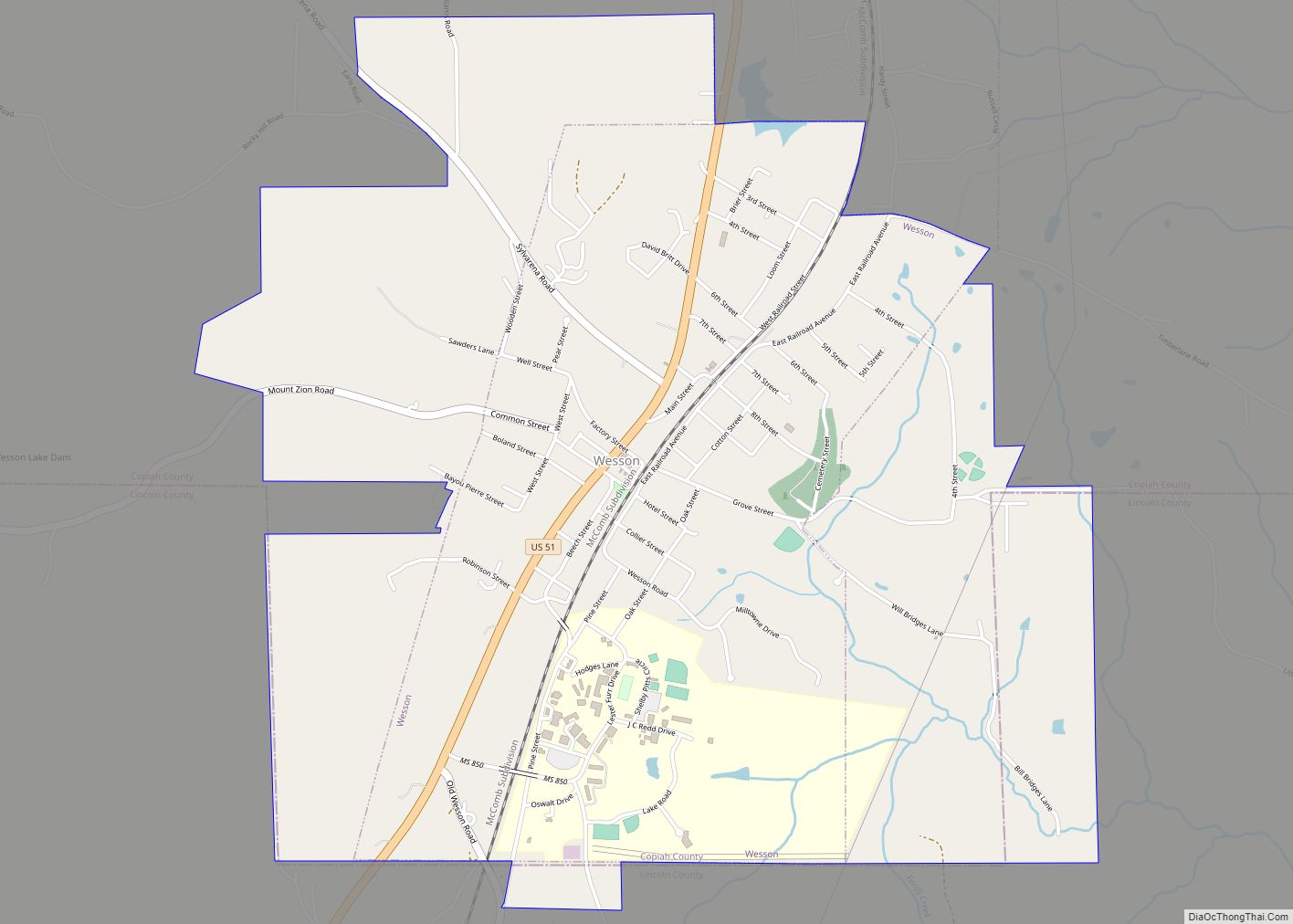
- Lincoln
- Lowndes
- Madison
- Marion
- Marshall
- Monroe
- Montgomery
- Neshoba
- Newton
- Noxubee
- Oktibbeha
- Panola
- Pearl River
- Perry
- Pike
- Pontotoc
- Prentiss
- Quitman
- Rankin
- Scott
- Sharkey
- Simpson
- Smith
- Stone
- Sunflower
- Tallahatchie
- Tate
- Tippah
- Tishomingo
- Tunica
- Union
- Walthall
- Warren
- Washington
- Wayne
- Webster
- Wilkinson
- Winston
- Yalobusha
- Yazoo
- Alabama
- Alaska
- Arizona
- Arkansas
- California
- Colorado
- Connecticut
- Delaware
- District of Columbia
- Florida
- Georgia
- Hawaii
- Idaho
- Illinois
- Indiana
- Iowa
- Kansas
- Kentucky
- Louisiana
- Maine
- Maryland
- Massachusetts
- Michigan
- Minnesota
- Mississippi
- Missouri
- Montana
- Nebraska
- Nevada
- New Hampshire
- New Jersey
- New Mexico
- New York
- North Carolina
- North Dakota
- Ohio
- Oklahoma
- Oregon
- Pennsylvania
- Rhode Island
- South Carolina
- South Dakota
- Tennessee
- Texas
- Utah
- Vermont
- Virginia
- Washington
- West Virginia
- Wisconsin
- Wyoming