Harrington Park is a borough in Bergen County, in the U.S. state of New Jersey. As of the 2020 United States census, the borough’s population was 4,741, an increase of 77 (+1.7%) from the 2010 census count of 4,664, which in turn reflected a decrease of 76 (−1.6%) from the 4,740 counted in the 2000 census.
Harrington Park was formed on March 29, 1904, from portions of Harrington Township and Washington Township, and parts of the borough of Closter.
The name Harrington Park was based on the larger Harrington Township from which it was in part derived, which in turn was based on the family name Haring, who were early settlers of the region.
| Name: | Harrington Park borough |
|---|---|
| LSAD Code: | 21 |
| LSAD Description: | borough (suffix) |
| State: | New Jersey |
| County: | Bergen County |
| Incorporated: | March 29, 1904 |
| Elevation: | 49 ft (15 m) |
| Total Area: | 2.06 sq mi (5.34 km²) |
| Land Area: | 1.85 sq mi (4.78 km²) |
| Water Area: | 0.22 sq mi (0.56 km²) 10.53% |
| Total Population: | 4,741 |
| Population Density: | 2,568.9/sq mi (991.9/km²) |
| ZIP code: | 07640 |
| Area code: | 201 |
| FIPS code: | 3430150 |
| GNISfeature ID: | 0885244 |
| Website: | www.harringtonparknj.gov |
Online Interactive Map
Click on ![]() to view map in "full screen" mode.
to view map in "full screen" mode.
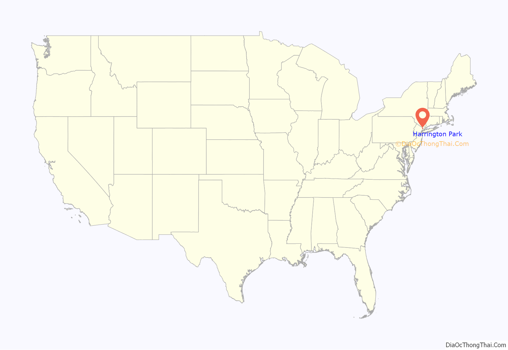
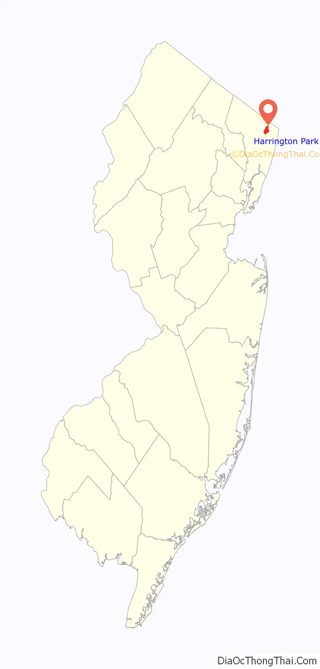
Harrington Park location map. Where is Harrington Park borough?
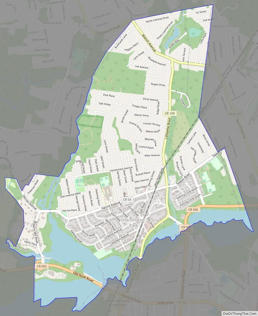
Harrington Park Road Map
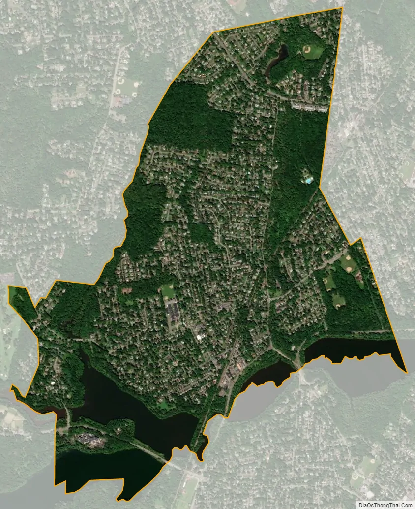
Harrington Park city Satellite Map
Geography
According to the United States Census Bureau, the borough had a total area of 2.06 square miles (5.34 km), including 1.85 square miles (4.78 km) of land and 0.22 square miles (0.56 km) of water (10.53%).
The borough borders Closter, Emerson, Norwood, Old Tappan and River Vale.
See also
Map of New Jersey State and its subdivision: Map of other states:- Alabama
- Alaska
- Arizona
- Arkansas
- California
- Colorado
- Connecticut
- Delaware
- District of Columbia
- Florida
- Georgia
- Hawaii
- Idaho
- Illinois
- Indiana
- Iowa
- Kansas
- Kentucky
- Louisiana
- Maine
- Maryland
- Massachusetts
- Michigan
- Minnesota
- Mississippi
- Missouri
- Montana
- Nebraska
- Nevada
- New Hampshire
- New Jersey
- New Mexico
- New York
- North Carolina
- North Dakota
- Ohio
- Oklahoma
- Oregon
- Pennsylvania
- Rhode Island
- South Carolina
- South Dakota
- Tennessee
- Texas
- Utah
- Vermont
- Virginia
- Washington
- West Virginia
- Wisconsin
- Wyoming


