Haworth (/hɑː.wərθ/ HAH-worth) is a borough in Bergen County, in the U.S. state of New Jersey. As of the 2020 United States census, the borough’s population was 3,343, a decrease of 39 (−1.2%) from the 2010 census count of 3,382, which in turn reflected a decline of 8 (−0.2%) from the 3,390 counted at the 2000 census.
Haworth was formed by an act of the New Jersey Legislature on February 24, 1904, from portions of both Dumont borough and Harrington Township. The borough was named for the historic village of Haworth, England.
In September 2012, Business Insider named Haworth the third-best suburb in America.
| Name: | Haworth borough |
|---|---|
| LSAD Code: | 21 |
| LSAD Description: | borough (suffix) |
| State: | New Jersey |
| County: | Bergen County |
| Incorporated: | February 24, 1904 |
| Elevation: | 39 ft (12 m) |
| Total Area: | 2.33 sq mi (6.05 km²) |
| Land Area: | 1.94 sq mi (5.02 km²) |
| Water Area: | 0.40 sq mi (1.03 km²) 17.01% |
| Total Population: | 3,343 |
| Population Density: | 1,725.7/sq mi (666.3/km²) |
| ZIP code: | 07641 |
| Area code: | 201 |
| FIPS code: | 3430540 |
| GNISfeature ID: | 0885248 |
| Website: | www.haworthnj.org |
Online Interactive Map
Click on ![]() to view map in "full screen" mode.
to view map in "full screen" mode.
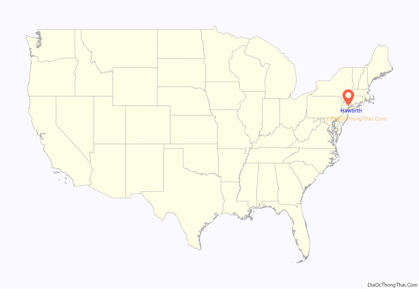
Haworth location map. Where is Haworth borough?
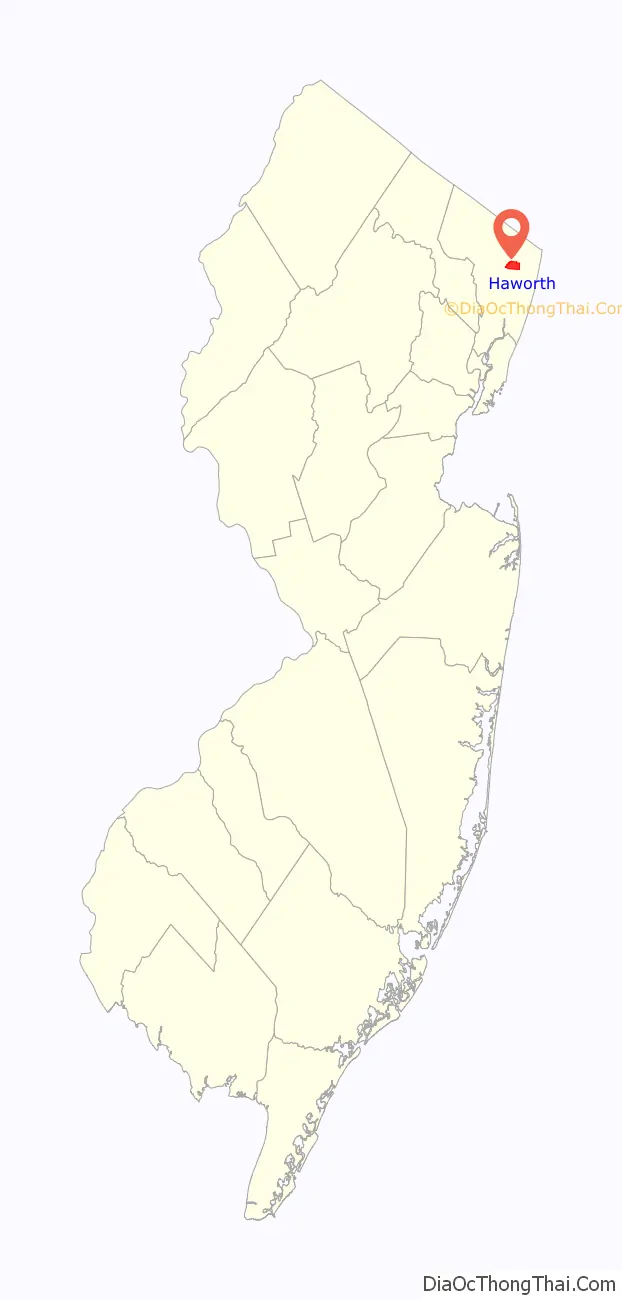
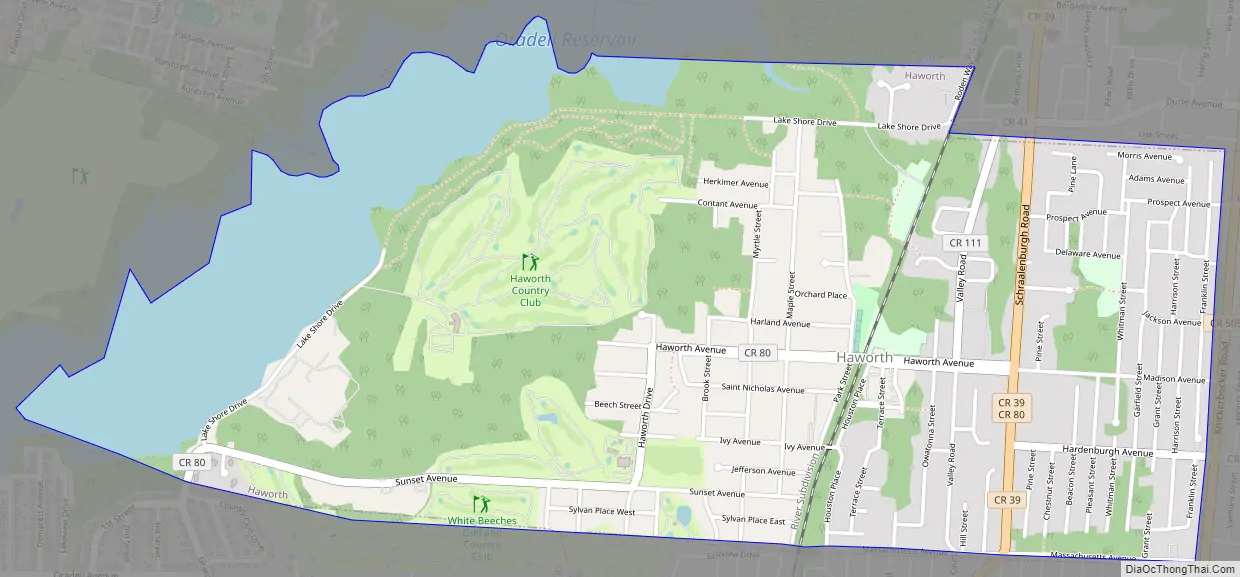
Haworth Road Map
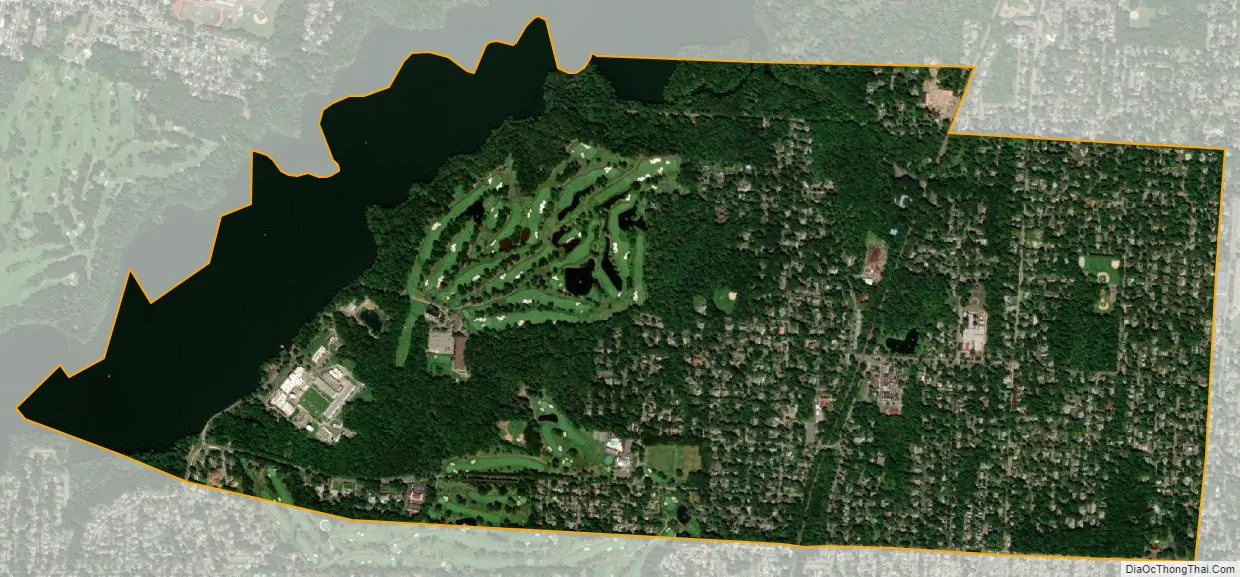
Haworth city Satellite Map
Geography
According to the United States Census Bureau, the borough had a total area of 2.34 square miles (6.05 km), including 1.94 square miles (5.02 km) of land and 0.40 square miles (1.03 km) of water (17.01%).
The borough borders the Bergen County municipalities of Emerson to the northwest, Closter to the northeast, Demarest to the east, Dumont to the south, and Oradell to the west.
See also
Map of New Jersey State and its subdivision: Map of other states:- Alabama
- Alaska
- Arizona
- Arkansas
- California
- Colorado
- Connecticut
- Delaware
- District of Columbia
- Florida
- Georgia
- Hawaii
- Idaho
- Illinois
- Indiana
- Iowa
- Kansas
- Kentucky
- Louisiana
- Maine
- Maryland
- Massachusetts
- Michigan
- Minnesota
- Mississippi
- Missouri
- Montana
- Nebraska
- Nevada
- New Hampshire
- New Jersey
- New Mexico
- New York
- North Carolina
- North Dakota
- Ohio
- Oklahoma
- Oregon
- Pennsylvania
- Rhode Island
- South Carolina
- South Dakota
- Tennessee
- Texas
- Utah
- Vermont
- Virginia
- Washington
- West Virginia
- Wisconsin
- Wyoming


