Westwood (known as “The Hub of the Pascack Valley”) is a borough in Bergen County, in the U.S. state of New Jersey. Westwood is part of the New York metropolitan area. Many of its residents regularly commute to New York City for work and leisure, many using public transportation. As of the 2020 United States census, the borough’s population was 11,282, an increase of 374 (+3.4%) from the 2010 census count of 10,908, which in turn reflected a decline of 91 (−0.8%) from the 10,999 counted in the 2000 census.
Westwood was officially incorporated as a borough on May 8, 1894, from portions of Washington Township, early during the “Boroughitis” phenomenon then sweeping through Bergen County, in which 26 boroughs were formed in the county in 1894 alone. Isaac D. Bogert served as the first mayor of the borough. In April 1909, Westwood was enlarged through the annexation of the “Old Hook” section of the borough of Emerson, and on September 24, 1957, portions of the borough were exchanged with Emerson.
| Name: | Westwood borough |
|---|---|
| LSAD Code: | 21 |
| LSAD Description: | borough (suffix) |
| State: | New Jersey |
| County: | Bergen County |
| Incorporated: | May 8, 1894 |
| Elevation: | 66 ft (20 m) |
| Total Area: | 2.30 sq mi (5.95 km²) |
| Land Area: | 2.26 sq mi (5.85 km²) |
| Water Area: | 0.04 sq mi (0.10 km²) 1.74% |
| Total Population: | 11,282 |
| Population Density: | 4,994.2/sq mi (1,928.3/km²) |
| Area code: | 201 |
| FIPS code: | 3480270 |
| GNISfeature ID: | 0885442 |
| Website: | www.westwoodnj.gov |
Online Interactive Map
Click on ![]() to view map in "full screen" mode.
to view map in "full screen" mode.
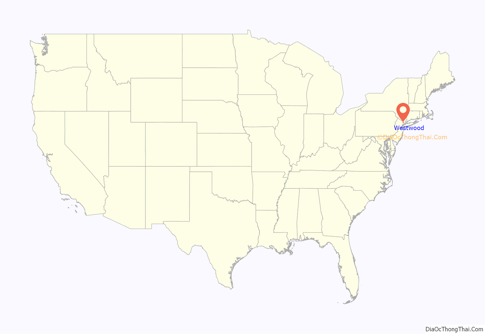
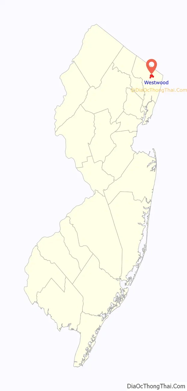
Westwood location map. Where is Westwood borough?
History
The Lenni-Lenape Native Americans inhabited this part of the state and shared it with the transient hunters and trappers until the permanent settlers began to enter in mid-18th century. In the early 19th century, the area that would later become Westwood was within the larger political boundaries of Harrington Township, which had been established by royal charter in 1775. In 1840, the western half of Harrington Township became Washington Township, with the Hackensack River as the dividing line. Washington Township was an agrarian region with isolated farmsteads. Early families, including the Hoppers and Ackermans, are buried at the Old Hook Cemetery. An 18th-century mill was situated at the dammed stream near the intersection of today’s Mill Street and First Avenue. This mill was on an important east west pathway and was the first on Musquapsink Brook. The mill was largely destroyed after a fire set by an arsonist and was dismantled in 1910.
A brief description of Washington Township written in 1844 described it as a township with six stores, four schools for 135 students, six grist mills, and 14 saw mills.
The first wave of concentrated development took place as the result of the coming of the Hackensack and New York Railroad in 1870, which followed the route of today’s Pascack Valley Line. On March 5, 1870, service began between Westwood and New York City (via Jersey City and a ferry ride). Several small hotels were built near the depot, and in 1872 several houses in the latest European-influenced styles began to be built along Centre Avenue. Old maps show that growth occurred simultaneously on the land both to the east and west of the tracks. The commercial buildings included lumber and coal sheds, stores, and a bakery. There was a chapel on the corner of Third and Park Avenues. The triangular park that has played an important role as a place of community gatherings is also shown on the 1876 map.
By the 1880s, Westwood had four factories, several distilleries, a new school, a laundry and grocery store, and a new Reformed Church. In 1890, following a meeting of interested residents, those favoring the incorporation of Westwood as an independent borough conducted a petition drive. In 1894, Westwood separated from Washington Township and became an independent borough. Elected as the borough’s first mayor was Isaac D. Bogert.
In 1899, a water plant constructed by Cornelius S. DeBraun provided service to the houses that had been built along the borough’s newly laid streets. By the time of the 1905 New Jersey Census, there were 234 dwellings housing a population of 1,044.
Lincoln High School was constructed around the turn of the 20th century, which also saw the introduction of electricity, telephones, and automobiles to the town. Underwood & Underwood Stereoscope Company opened a plant during the first decades of the 20th century, and many congregations established their first chapels, which were replaced in later years as the congregations grew in numbers and wealth. Following a typical pattern of development throughout the 20th century, the results are a mature railroad suburb almost covered with housing units, commercial, municipal and ecclesiastical buildings. The borough still retains the open space of the triangular park at its center.
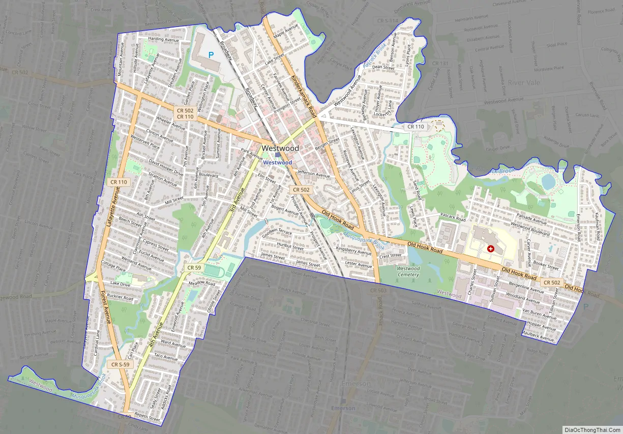
Westwood Road Map
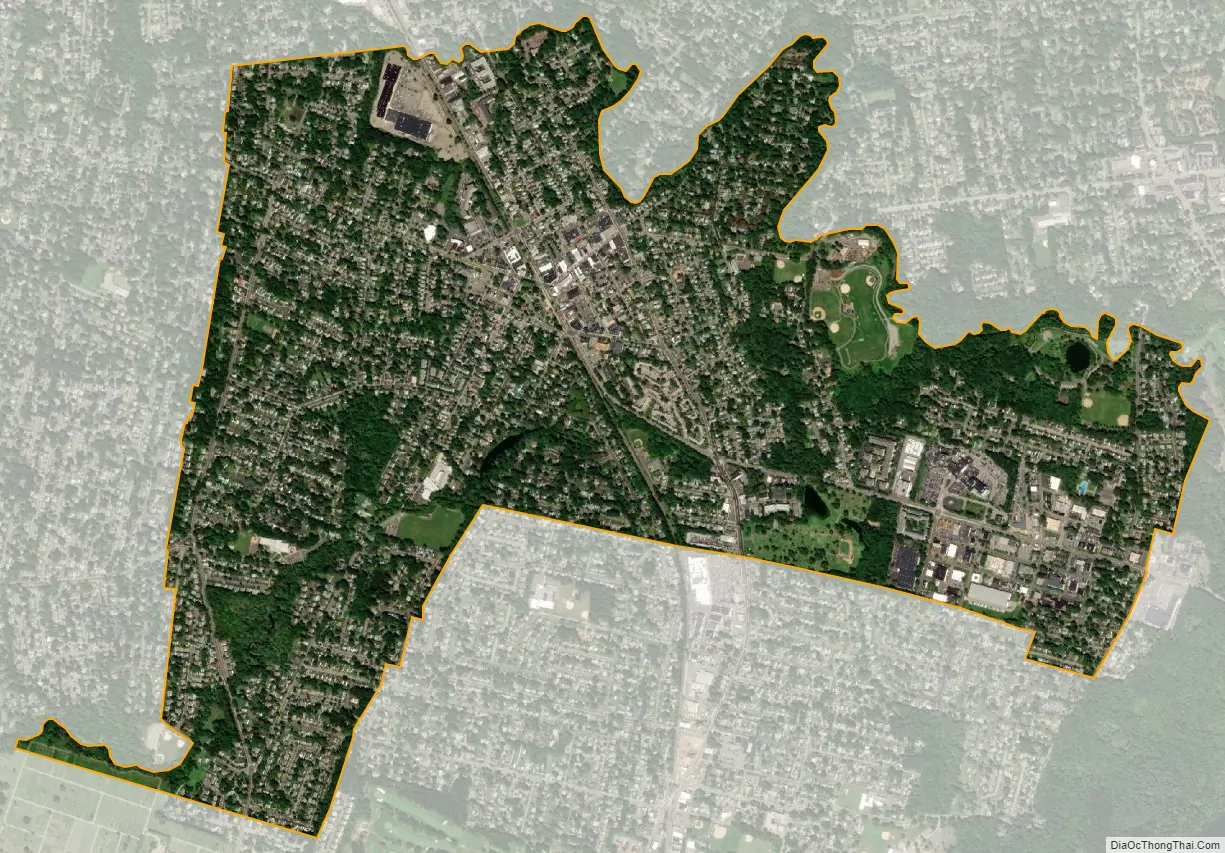
Westwood city Satellite Map
Geography
According to the United States Census Bureau, the borough had a total area of 2.30 square miles (5.95 km), including 2.26 square miles (5.85 km) of land and 0.04 square miles (0.10 km) of water (1.74%).
The borough borders the Bergen County municipalities of Emerson, Hillsdale, River Vale And Washington Township.
See also
Map of New Jersey State and its subdivision: Map of other states:- Alabama
- Alaska
- Arizona
- Arkansas
- California
- Colorado
- Connecticut
- Delaware
- District of Columbia
- Florida
- Georgia
- Hawaii
- Idaho
- Illinois
- Indiana
- Iowa
- Kansas
- Kentucky
- Louisiana
- Maine
- Maryland
- Massachusetts
- Michigan
- Minnesota
- Mississippi
- Missouri
- Montana
- Nebraska
- Nevada
- New Hampshire
- New Jersey
- New Mexico
- New York
- North Carolina
- North Dakota
- Ohio
- Oklahoma
- Oregon
- Pennsylvania
- Rhode Island
- South Carolina
- South Dakota
- Tennessee
- Texas
- Utah
- Vermont
- Virginia
- Washington
- West Virginia
- Wisconsin
- Wyoming


