Ho-Ho-Kus (/hoʊˈhoʊkəs/) is a borough in Bergen County, in the U.S. state of New Jersey. As of the 2020 United States census, the borough’s population was 4,258, an increase of 180 (+4.4%) from the 2010 census count of 4,078, which in turn reflected an increase of 18 (+0.4%) from the 4,060 counted in the 2000 census. The borough is the home of several historical landmarks, including the Ho-Ho-Kus Inn and The Hermitage.
Ho-Ho-Kus was incorporated as a borough by an act of the New Jersey Legislature on October 12, 1908, from what had originally been the borough of Orvil, which was in turn created on March 8, 1905, from portions of Orvil Township.
As of the 2000 census, Ho-Ho-Kus was the 15th-wealthiest community in New Jersey with a per capita money income of $63,594 as of 1999, an increase of 36.9% from the $46,451 recorded in 1989. The borough’s median household income was $165,827 in 2013. In 2011, New Jersey Monthly magazine named Ho-Ho-Kus the best place to live in the state of New Jersey, citing its affluence, low crime rate and the quality of its school system, as well as its proximity to New York City and other major commercial destinations.
| Name: | Ho-Ho-Kus borough |
|---|---|
| LSAD Code: | 21 |
| LSAD Description: | borough (suffix) |
| State: | New Jersey |
| County: | Bergen County |
| Incorporated: | March 8, 1905 (as Orvil) |
| Elevation: | 121 ft (37 m) |
| Total Area: | 1.75 sq mi (4.53 km²) |
| Land Area: | 1.74 sq mi (4.51 km²) |
| Water Area: | 0.01 sq mi (0.03 km²) 0.63% |
| Total Population: | 4,258 |
| Population Density: | 2,447.9/sq mi (945.1/km²) |
| ZIP code: | 07423 |
| Area code: | 201 |
| FIPS code: | 3432310 |
| GNISfeature ID: | 0885258 |
| Website: | www.hhkborough.com |
Online Interactive Map
Click on ![]() to view map in "full screen" mode.
to view map in "full screen" mode.
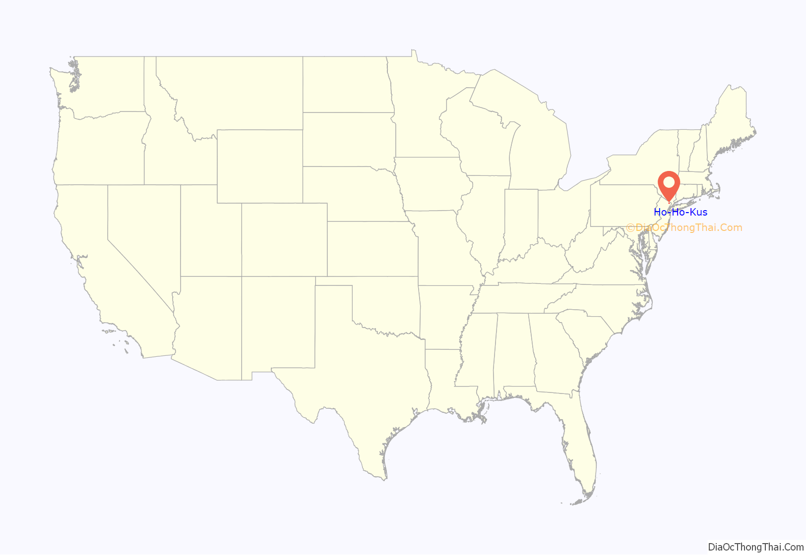
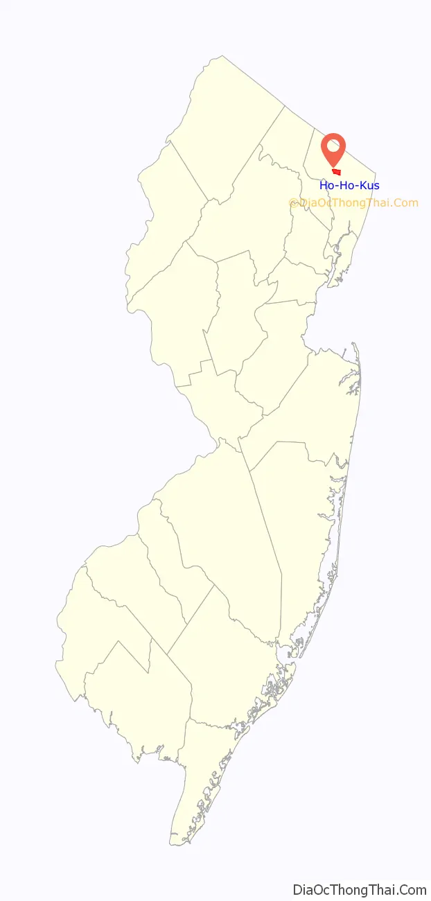
Ho-Ho-Kus location map. Where is Ho-Ho-Kus borough?
History
The meaning of the name Ho-Ho-Kus has been disputed. From the official history on the borough’s website, the most likely origin is a contraction of the Delaware Indian term “Mah-Ho-Ho-Kus” (or “Mehokhokus”), meaning “the red cedar”.
Other meanings have been suggested over the years and are listed on the borough’s website, including a Lenape word for running water, a cleft in the rock or under the rock or hollow rock, the word “hohokes”, signifying the whistle of the wind against the bark of trees, the Chihohokies Indians whose chief lived here, the Dutch Hoog Akers for “high acorns” or Hoge Aukers, Dutch for “high oaks”, the Lenape word hoccus meaning “fox”, or woakus, “gray fox”, or that the “Ho” part means joy or spirit, and the rest of the name from “hohokes”, meaning a kind of bark of a tree.
Ho-Ho-Kus versus Hohokus
A constant source of confusion has been the manner in which the borough’s name has been styled, with each syllable capitalized and separated by hyphens. The confusion is only exacerbated by the existence of Hohokus Township (now Mahwah), which comprised the area of present-day Ho-Ho-Kus and other surrounding communities, yet was styled without the multiple capitalization or the hyphens. Ho-Ho-Kus is served by interchange 168 on the Garden State Parkway which lists the municipality as “Hohokus” on its exit signing.
The name “Ho-Ho-Kus” was used explicitly in the resolution requesting a change of name passed by the Borough Council on October 12, 1908, and submitted to the Secretary of State of New Jersey requesting “That the Borough now known as the Borough of Orvil be hereafter known as the Borough of Ho-Ho-Kus…”
A few theories have been offered for the hyphens and capitalization. One is that it was intended to differentiate between the borough and Hohokus Township, which was formed on April 9, 1849, and continued to exist until November 7, 1944, when a referendum was passed changing the name to present-day Mahwah. Another explanation was that it was meant to avoid confusion by postal clerks with mail being sent to Hoboken.
While efforts had been made in the ensuing decades to change the name or to alter the way in which the name of the borough is capitalized and punctuated, the borough remains as “Ho-Ho-Kus.”
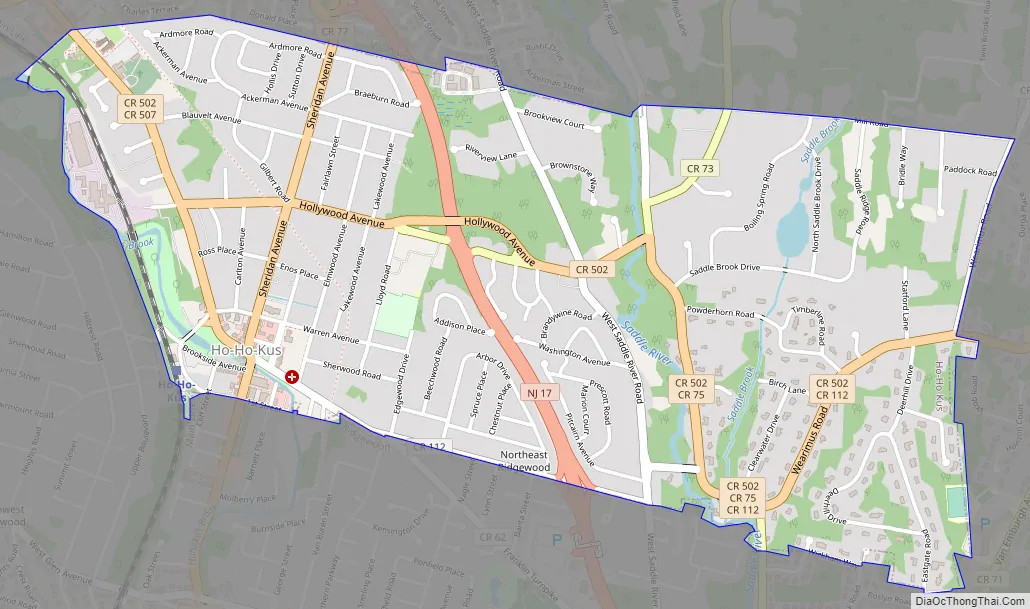
Ho-Ho-Kus Road Map
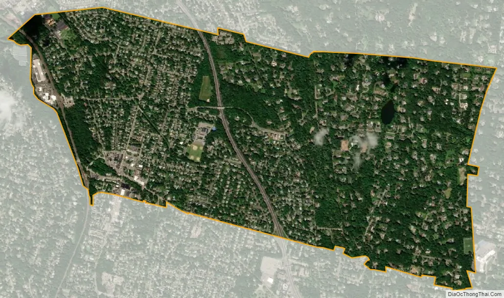
Ho-Ho-Kus city Satellite Map
Geography
According to the United States Census Bureau, the borough had a total area of 1.75 square miles (4.53 km), including 1.74 square miles (4.51 km) of land and 0.01 square miles (0.03 km) of water (0.63%).
The borough borders Hillsdale, Ridgewood, Saddle River, Waldwick and Washington Township.
See also
Map of New Jersey State and its subdivision: Map of other states:- Alabama
- Alaska
- Arizona
- Arkansas
- California
- Colorado
- Connecticut
- Delaware
- District of Columbia
- Florida
- Georgia
- Hawaii
- Idaho
- Illinois
- Indiana
- Iowa
- Kansas
- Kentucky
- Louisiana
- Maine
- Maryland
- Massachusetts
- Michigan
- Minnesota
- Mississippi
- Missouri
- Montana
- Nebraska
- Nevada
- New Hampshire
- New Jersey
- New Mexico
- New York
- North Carolina
- North Dakota
- Ohio
- Oklahoma
- Oregon
- Pennsylvania
- Rhode Island
- South Carolina
- South Dakota
- Tennessee
- Texas
- Utah
- Vermont
- Virginia
- Washington
- West Virginia
- Wisconsin
- Wyoming


