Northvale is a borough in Bergen County, in the U.S. state of New Jersey. As of the 2020 United States census, the borough’s population was 4,761, an increase of 121 (+2.6%) from the 2010 census count of 4,640, which in turn reflected an increase of 180 (+4.0%) from the 4,460 counted in the 2000 census.
| Name: | Northvale borough |
|---|---|
| LSAD Code: | 21 |
| LSAD Description: | borough (suffix) |
| State: | New Jersey |
| County: | Bergen County |
| Incorporated: | March 15, 1916 |
| Elevation: | 46 ft (14 m) |
| Total Area: | 1.27 sq mi (3.28 km²) |
| Land Area: | 1.26 sq mi (3.28 km²) |
| Water Area: | 0.00 sq mi (0.01 km²) 0.24% |
| Total Population: | 4,761 |
| Population Density: | 3,763.8/sq mi (1,453.2/km²) |
| ZIP code: | 07647 |
| Area code: | 201 exchanges: 750, 767, 768, 784 |
| FIPS code: | 3453430 |
| GNISfeature ID: | 0885327 |
| Website: | www.boroughofnorthvale.com |
Online Interactive Map
Click on ![]() to view map in "full screen" mode.
to view map in "full screen" mode.
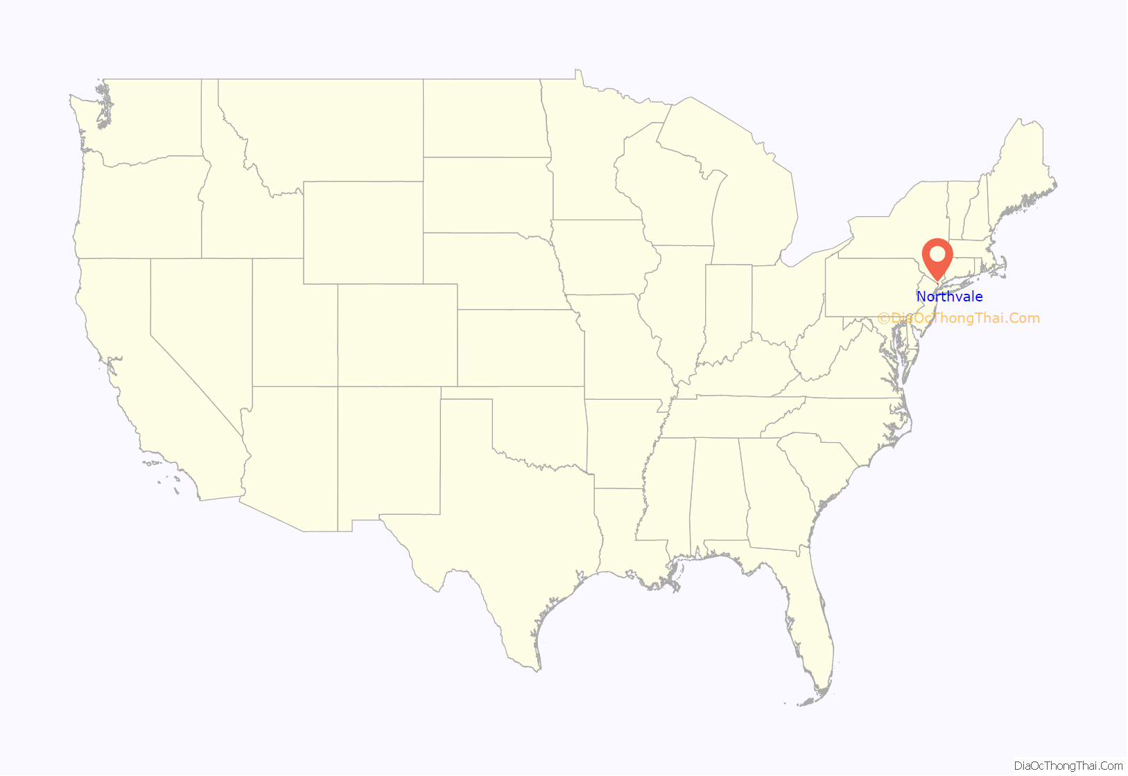
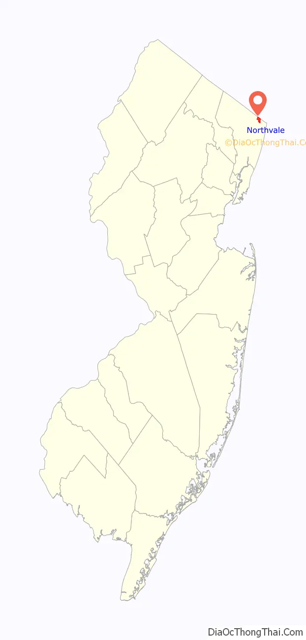
Northvale location map. Where is Northvale borough?
History
The borough of Northvale was formed on March 15, 1916, from the remaining portions of Harrington Township, based on the results of a referendum held on April 4, 1916. With the creation of Northvale, Harrington Township was dissolved. Portions of Northvale were transferred to create the borough of Rockleigh, as of March 13, 1923. The borough’s name derives from its location and topography.
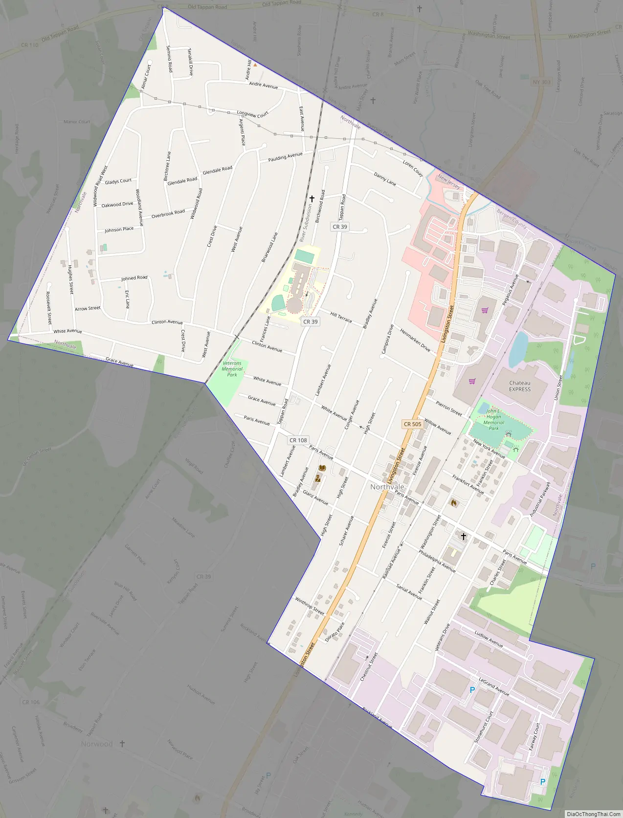
Northvale Road Map
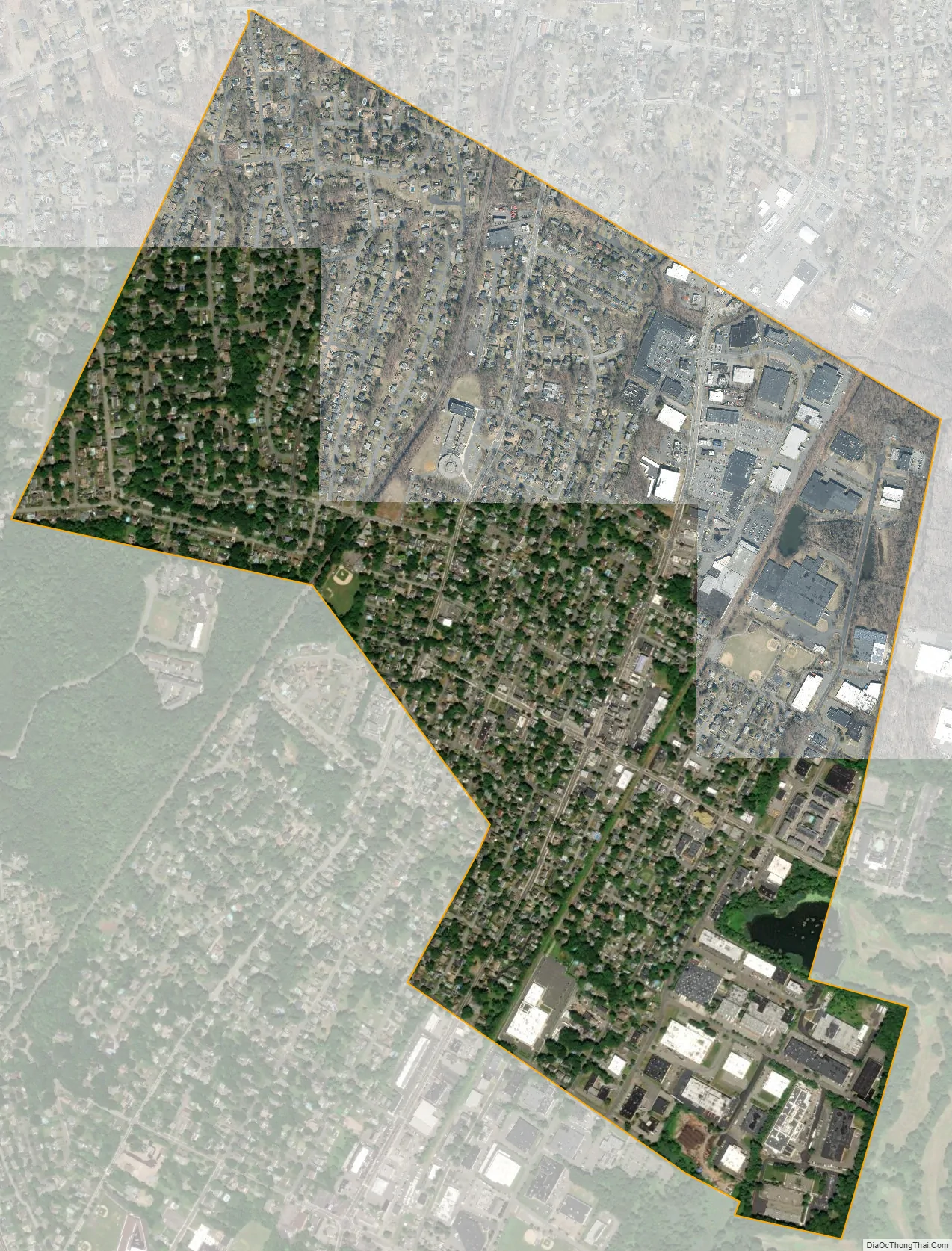
Northvale city Satellite Map
Geography
According to the United States Census Bureau, the borough had a total area of 1.27 square miles (3.28 km), including 1.27 square miles (3.28 km) of land and <0.01 square miles (0.01 km) of water (0.24%).
The borough borders Norwood, Old Tappan and Rockleigh in Bergen County; and Tappan (in the Town of Orangetown) in Rockland County, New York.
See also
Map of New Jersey State and its subdivision: Map of other states:- Alabama
- Alaska
- Arizona
- Arkansas
- California
- Colorado
- Connecticut
- Delaware
- District of Columbia
- Florida
- Georgia
- Hawaii
- Idaho
- Illinois
- Indiana
- Iowa
- Kansas
- Kentucky
- Louisiana
- Maine
- Maryland
- Massachusetts
- Michigan
- Minnesota
- Mississippi
- Missouri
- Montana
- Nebraska
- Nevada
- New Hampshire
- New Jersey
- New Mexico
- New York
- North Carolina
- North Dakota
- Ohio
- Oklahoma
- Oregon
- Pennsylvania
- Rhode Island
- South Carolina
- South Dakota
- Tennessee
- Texas
- Utah
- Vermont
- Virginia
- Washington
- West Virginia
- Wisconsin
- Wyoming


