Rockleigh (pronounced ROCK-lee) is a borough in northeastern Bergen County, in the U.S. state of New Jersey. As of the 2020 United States census, the borough’s population was 407, a decrease of 124 (−23.4%) from the 2010 census count of 531, which in turn reflected an increase of 140 (+35.8%) from the 391 counted at the 2000 census. Bordering Alpine, a community ranked America’s most expensive ZIP Code by Forbes, Rockleigh has a similar residential character, with large single-family homes on large plots of land.
Rockleigh was incorporated as a borough by an act of the New Jersey Legislature on March 13, 1923 (based on the results of a referendum held on April 10, 1923) from portions of Northvale. The borough was named for a property in Virginia that had been owned by the borough’s first mayor.
New Jersey Monthly magazine ranked Rockleigh as its 13th best place to live in its 2008 rankings of the “Best Places To Live” in New Jersey.
| Name: | Rockleigh borough |
|---|---|
| LSAD Code: | 21 |
| LSAD Description: | borough (suffix) |
| State: | New Jersey |
| County: | Bergen County |
| Incorporated: | April 10, 1923 |
| Elevation: | 49 ft (15 m) |
| Total Area: | 1.01 sq mi (2.62 km²) |
| Land Area: | 1.00 sq mi (2.60 km²) |
| Water Area: | 0.01 sq mi (0.02 km²) 0.69% |
| Total Population: | 407 |
| Population Density: | 407.0/sq mi (157.1/km²) |
| ZIP code: | 07647 |
| Area code: | 201 exchanges: 750, 767, 768, 784 |
| FIPS code: | 3464170 |
| GNISfeature ID: | 0885375 |
| Website: | www.rockleighnj.org |
Online Interactive Map
Click on ![]() to view map in "full screen" mode.
to view map in "full screen" mode.
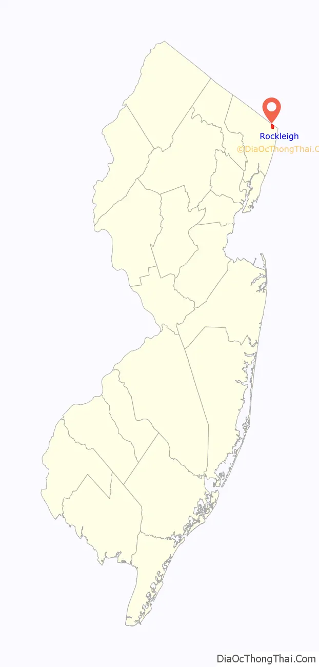
Rockleigh location map. Where is Rockleigh borough?

Rockleigh Road Map

Rockleigh city Satellite Map

Geography
According to the United States Census Bureau, the borough had a total area of 1.01 square miles (2.62 km), including 1.00 square miles (2.60 km) of land and 0.01 square miles (0.02 km) of water (0.69%). Rockleigh is about 25 miles (40 km) from Manhattan in New York City.
The borough borders the municipalities of Alpine, Northvale and Norwood in Bergen County and Tappan in the Town of Orangetown in Rockland County, New York.
See also
Map of New Jersey State and its subdivision: Map of other states:- Alabama
- Alaska
- Arizona
- Arkansas
- California
- Colorado
- Connecticut
- Delaware
- District of Columbia
- Florida
- Georgia
- Hawaii
- Idaho
- Illinois
- Indiana
- Iowa
- Kansas
- Kentucky
- Louisiana
- Maine
- Maryland
- Massachusetts
- Michigan
- Minnesota
- Mississippi
- Missouri
- Montana
- Nebraska
- Nevada
- New Hampshire
- New Jersey
- New Mexico
- New York
- North Carolina
- North Dakota
- Ohio
- Oklahoma
- Oregon
- Pennsylvania
- Rhode Island
- South Carolina
- South Dakota
- Tennessee
- Texas
- Utah
- Vermont
- Virginia
- Washington
- West Virginia
- Wisconsin
- Wyoming


