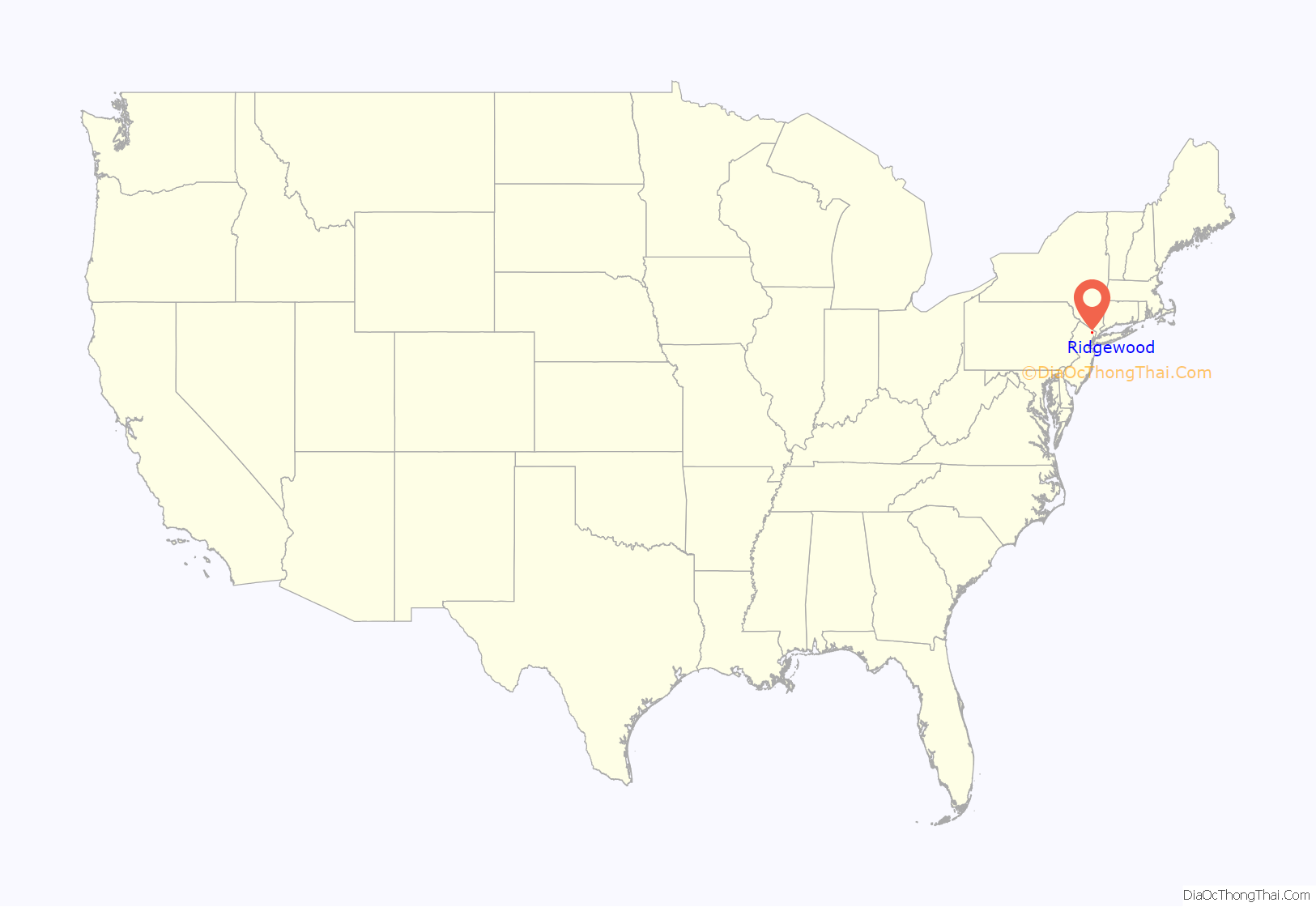
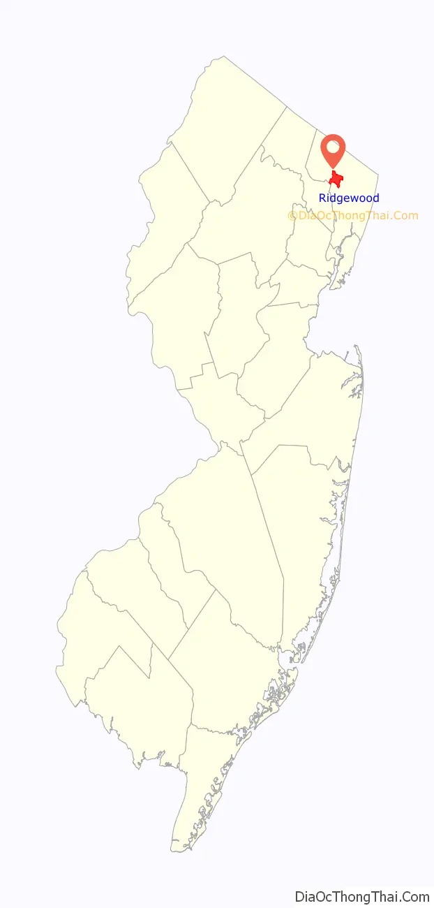
Ridgewood is a village in Bergen County, in the U.S. state of New Jersey. Ridgewood is a suburban bedroom community of New York City, located approximately 20 miles (32 km) northwest of Midtown Manhattan. As of the 2020 United States census, the village’s population was 25,979, an increase of 1,021 (+4.1%) from the 2010 census count of 24,958, which in turn reflected an increase of 22 (+0.1%) from 24,936 in the 2000 census.
It has been one of the state’s highest-income communities. In 2000, its per capita income of $51,658 was ranked the 35th-highest in the state. Based on data from the 2006–2010 American Community Survey, it had a per-capita income of $67,560, 31st in the state. Based on data from the American Community Survey for 2013–2017, it had a median household income of $162,011, ranked 7th in the state among municipalities with more than 10,000 residents, more than double the statewide median of $76,475.
Ridgewood was ranked 26th in Money magazine’s “Best Places to Live” in 2011.
| Name: | Ridgewood village |
|---|---|
| LSAD Code: | 47 |
| LSAD Description: | village (suffix) |
| State: | New Jersey |
| County: | Bergen County |
| Incorporated: | November 20, 1894 |
| Elevation: | 85 ft (26 m) |
| Total Area: | 5.80 sq mi (15.03 km²) |
| Land Area: | 5.74 sq mi (14.87 km²) |
| Water Area: | 0.06 sq mi (0.16 km²) 1.07% |
| Total Population: | 25,979 |
| Population Density: | 4,524.4/sq mi (1,746.9/km²) |
| Area code: | 201 |
| FIPS code: | 3463000 |
| GNISfeature ID: | 0885369 |
| Website: | www.ridgewoodnj.net |
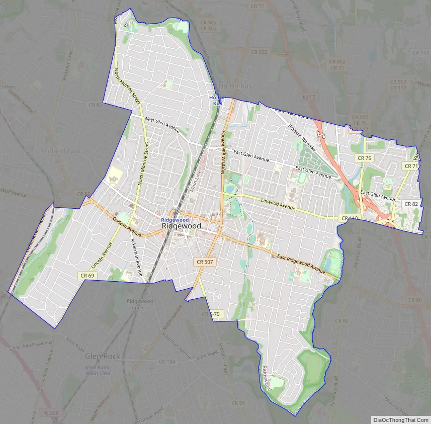
Online Interactive Map
Click on ![]() to view map in "full screen" mode.
to view map in "full screen" mode.
Ridgewood location map. Where is Ridgewood village?
History
In 1700, Johannes Van Emburgh built the first home in Ridgewood, having purchased a 250 acres (100 ha) property in 1698.
The Village of Ridgewood was created on November 20, 1894, with the same boundaries as Ridgewood Township, also in Bergen County. The Village became the municipal government while the Township remained a school district. In 1902, the village added portions of Orvil Township, which were returned to Orvil Township in 1915. In 1925, Ridgewood Village acquired area from Franklin Township (remainder now dissolved as Wyckoff). On February 9, 1971, Ridgewood acquired area from Washington Township. On May 28, 1974, it acquired area from Ho-Ho-Kus. The name of the village derives from the characteristics of its terrain.
In 2014, former Ridgewood Public Works Inspector Thomas Rica was convicted of stealing over $460,000 in coins collected from the village’s parking meters. Rica was ordered to pay the entire amount back to the village and was permanently barred from seeking public employment in the state of New Jersey.
Historic sites
Ridgewood is home to the following locations on the National Register of Historic Places:
- Ackerman House (222 Doremus Avenue) – 222 Doremus Avenue (added 1983) was constructed by Johannes and Jemima Ackerman c. 1787 on their 72-acre (29 ha) property and remained in the Ackerman family until the 1920s.
- Ackerman House (252 Lincoln Avenue) – 252 Lincoln Avenue (added 1983) is a stone house constructed c. 1810 and named for either David or John Ackerman.
- David Ackerman House – 415 East Saddle River Road (added 1983).
- Ackerman-Van Emburgh House – 789 East Glen Avenue (added 1983) was built c. 1785 by John Ackerman and purchased by the Van Embergh family in 1816.
- Archibald-Vroom House – 160 East Ridgewood Avenue (added 1984).
- Beech Street School – 49 Cottage Place (added 1998).
- Paramus Reformed Church Historic District – Bounded by Franklin Turnpike, Route 17, Saddle River, south side of cemetery and Glen Avenue (added 1975). The Old Paramus Reformed Church was established in 1725, though the current building dates to 1800. During the Revolutionary War, the church was used for several years by the Continental Army, and in 1778 it was the site of the court-martial of General Charles Lee.
- Rathbone-Zabriskie House – 570 North Maple Avenue (added 1983).
- Ridgewood Station – Garber Square (added 1984).
- Van Dien House – 627 Grove Street (added 1983).
- Vanderbeck House – 249 Prospect Street (added 1983).
- Westervelt-Cameron House – 26 East Glen Avenue (added 1983), constructed c. 1767 by John R. Westervelt.
- Historic Graydon Pool – Located at the corner of North Maple Ave & Linwood Ave
Ridgewood Road Map
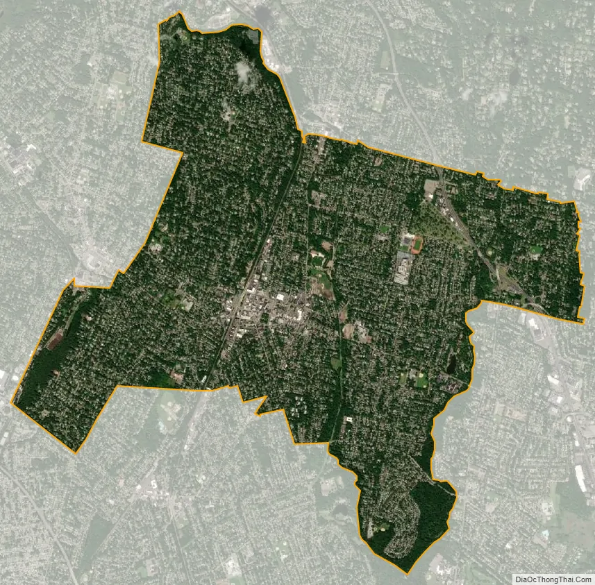
Ridgewood city Satellite Map
Geography
According to the United States Census Bureau, the village had a total area of 5.80 square miles (15.03 km), including 5.74 square miles (14.87 km) of land and 0.06 square miles (0.16 km) of water (1.07%).
Ridgewood is adjacent to nine municipalities, eight in Bergen County − Fair Lawn, Glen Rock, Ho-Ho-Kus, Midland Park, Wyckoff, Paramus, Waldwick and Washington Township − and Hawthorne in Passaic County.
Neighborhoods
Ridgewood’s neighborhoods include:
- Downtown – The central business district of Ridgewood, “Town” is centered on East Ridgewood Avenue. This area is home to the most iconic buildings in Ridgewood, such as the Wilsey building and the Moore Building.
- Scrabbletown – Located between East Glen Avenue, Franklin Turnpike, and the Ho-Ho-Kus Brook.
- The Old Country Club – Located between Goffle Road, Rock Road, Lincoln Avenue and Godwin Avenue. It is near the Midland Park border.
- The View – Area on and to the west of Ridgewood’s highest point, an unnamed ridge known for its skyline views of New York City.
- Upper Ridgewood – Located north of West Glen Avenue and west of the NJ Transit Main Line tracks.
- Salem Ridge – Located East of Route 17.
- Floral Park – Located between Grove Street, South Pleasant, East Ridgewood Avenue and South Van Dien Street.
- Brookside
- The Lawns – A loosely defined area in southern Ridgewood surrounding Hawes Elementary School.
Climate
Ridgewood has a hot-summer humid continental climate (Dfa) and the hardiness zone is 7a bordering on 6b.
See also
Map of New Jersey State and its subdivision: Map of other states:- Alabama
- Alaska
- Arizona
- Arkansas
- California
- Colorado
- Connecticut
- Delaware
- District of Columbia
- Florida
- Georgia
- Hawaii
- Idaho
- Illinois
- Indiana
- Iowa
- Kansas
- Kentucky
- Louisiana
- Maine
- Maryland
- Massachusetts
- Michigan
- Minnesota
- Mississippi
- Missouri
- Montana
- Nebraska
- Nevada
- New Hampshire
- New Jersey
- New Mexico
- New York
- North Carolina
- North Dakota
- Ohio
- Oklahoma
- Oregon
- Pennsylvania
- Rhode Island
- South Carolina
- South Dakota
- Tennessee
- Texas
- Utah
- Vermont
- Virginia
- Washington
- West Virginia
- Wisconsin
- Wyoming


