Paramus (/pəˈræməs/ pə-RAM-əs) is a borough in the central portion of Bergen County, in the U.S. state of New Jersey. A suburban bedroom community of New York City, Paramus is located 15 to 20 miles (24 to 32 km) northwest of Midtown Manhattan and approximately 8 miles (13 km) west of Upper Manhattan. The Wall Street Journal characterized Paramus as “quintessentially suburban”. The borough is also a major commercial hub for North Jersey (home to Garden State Plaza and various corporate headquarters).
As of the 2020 United States census, the borough’s population was 26,698, an increase of 356 (+1.4%) from the 2010 census count of 26,342, which in turn reflected an increase of 605 (+2.4%) from the 25,737 counted in the 2000 census.
Paramus was incorporated as a borough by an act of the New Jersey Legislature on March 2, 1922, and ratified by a referendum held on April 4, 1922, that passed by a vote of 238 to 10. Paramus was created from portions of Midland Township, which now exists as Rochelle Park. The borough’s name is thought to have originated from the Unami language spoken by the Lenape Native Americans, derived from words meaning “land of the turkeys” or “pleasant stream.”
Paramus has some of the most restrictive blue laws in the United States, dating back to the 17th century, banning nearly all white-collar and retail businesses from opening on Sundays except for gas stations, restaurants and grocery stores, and a limited number of other businesses. Despite this, the borough is one of the largest shopping destinations in the country, generating over $6 billion in annual retail sales, more than any other ZIP Code in the United States.
| Name: | Paramus borough |
|---|---|
| LSAD Code: | 21 |
| LSAD Description: | borough (suffix) |
| State: | New Jersey |
| County: | Bergen County |
| Incorporated: | April 4, 1922 |
| Elevation: | 49 ft (15 m) |
| Total Area: | 10.51 sq mi (27.21 km²) |
| Land Area: | 10.45 sq mi (27.05 km²) |
| Water Area: | 0.06 sq mi (0.16 km²) 0.60% |
| Total Population: | 26,698 |
| Population Density: | 2,556.1/sq mi (986.9/km²) |
| Area code: | 201 and 551 |
| FIPS code: | 3455950 |
| GNISfeature ID: | 0885340 |
| Website: | www.paramusborough.org |
Online Interactive Map
Click on ![]() to view map in "full screen" mode.
to view map in "full screen" mode.
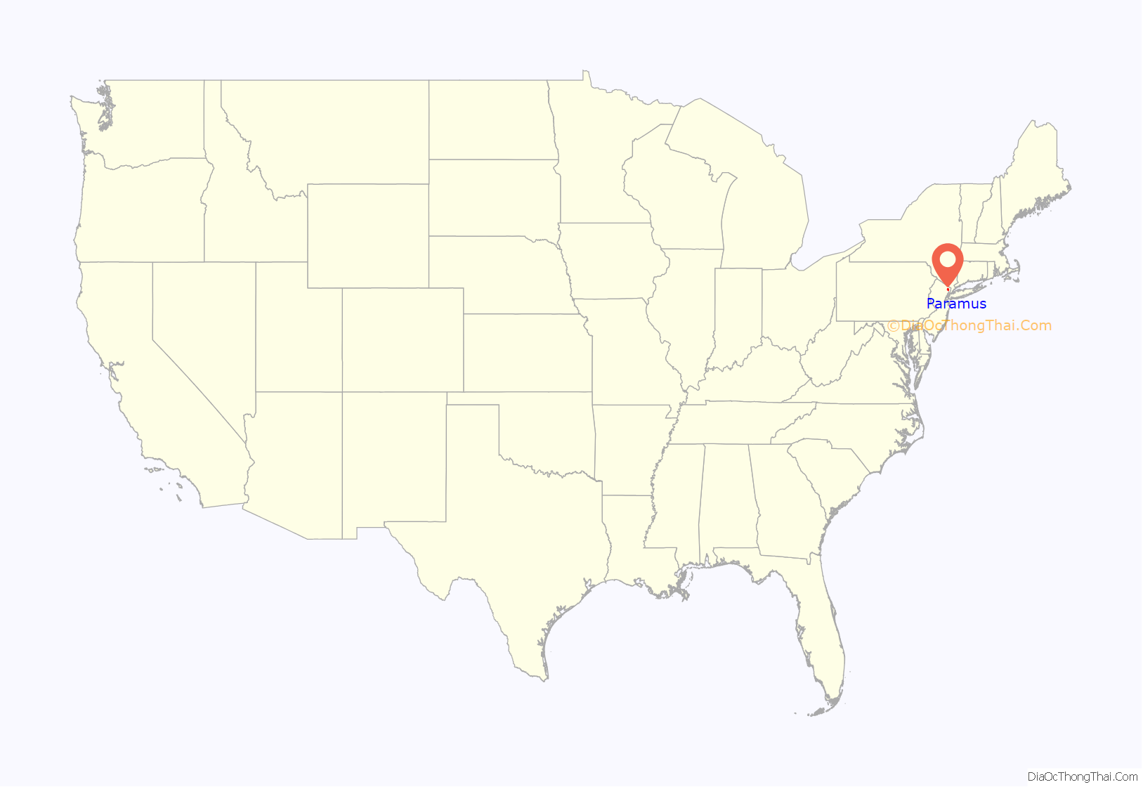
Paramus location map. Where is Paramus borough?

History
The area that ultimately became the present-day North Jersey had been occupied for thousands of years by prehistoric indigenous peoples. At the time of European encounter, it was settled by the Lenape Native Americans. The Lenape language word for the area, Peremessing, which meant that it had an abundant population of wild turkey, was anglicized to become the word “Paramus”. A large metal statue of a wild turkey in the Paramus Park mall commemorates this history. Another alternative derivation is that the word means “pleasant stream”.
Albert Saboroweski (Albrycht Zaborowski), whose descendants became known by the family name “Zabriskie”, immigrated from Poland via the Dutch ship Deb Ves in 1662. He settled in the Dutch West Indies Company town of Ackensack, site of the present-day Hackensack. A son, Jacob, was captured by the Lenape and held for 15 years. When he was returned to his family, the Lenape explained to Saboroweski that they had taken the child in order to teach him their language so that he could serve as a translator. They granted Saboroweski approximately 2,000 acres (8.1 km) of land which became known as the “Paramus Patent”.
During the American Revolutionary War, the county included both Loyalists and Patriots, with Patriots “greatly outnumbering” Tories. Although no major battles were fought in Bergen County, Paramus was part of the military activity, as colonial troops were stationed in Ramapo under the command of Aaron Burr. In 1777, the British raided the Hackensack area and Burr marched troops to Paramus, where he attacked the British, forcing them to withdraw. General George Washington was in Paramus several times during the War: December 1778; July 1780; and, December 1780. Following the Battle of Monmouth, Washington established his headquarters in Paramus in July 1778. Over the advice of his staff, Washington moved his headquarters to Westchester County, New York.
A section of Paramus known as Dunkerhook (meaning dark corner in Dutch) was a free African-American community dating to the early 18th century. Although historical markers on the current site and local oral tradition maintain that this was a slave community, contemporary records document that it was a community of free blacks, not slaves. A group of houses built on Dunkerhook Road by the Zabriskies in the late 18th to early 19th centuries was the center of a community of black farmers, who had been slaves held by the Zabriskie family.
The Arcola Country Club and golf course was created in 1909 and the neighborhood by that name grew around it.
Farview Avenue, located at the highest elevation in Paramus, has a clear view of the Manhattan skyline.
Paramus became one of the “truck farming” areas that helped New Jersey earn its nickname as the “Garden State”. By 1940, Paramus’ population was just 4,000, with no town center and 94 retail establishments. Although the opening of the George Washington Bridge in 1931 and the widening of Route 17 and Route 4 (which intersect in southern Paramus), made the area accessible to millions, “it was not until the 1950s that massive development hit this section of northern New Jersey”.
During the 1950s and 1960s, Paramus, lacking any master plan until 1969, was redeveloped into two shopping corridors when its farmers and outside developers saw that shopping malls were more lucrative than produce farming. “It was a developer’s dream: flat cleared land adjacent to major arterials and accessible to a growing suburban population and the country’s largest city – with no planning restrictions”. New York had a state sales tax, but New Jersey had none, so with the opening of Manhattan department stores in the Bergen Mall (1957), the Garden State Plaza (1957) and Alexander’s (1961), Paramus became the “first stop outside New York City for shopping”. From 1948 to 1958, the population of Paramus nearly quadrupled, from 6,000 to 23,000, whilw the number of retail establishments tripled from 111 to 319, and annual retail sales increased twenty-fold in nominal dollars, from $5.5 million (equivalent to $62 million in 2021) to $112 million (equal to $1.1 billion in 2021). By the 1980s, when the population had increased slightly over 1960s levels, retail sales had climbed to $1 billion.
Paramus was the scene of one of the worst COVID-19 outbreaks in the U.S. when an outbreak at the New Jersey Veterans Home resulted in 74 deaths, all former soldiers through May 2020, with some 60% of the home’s 314 residents being infected.
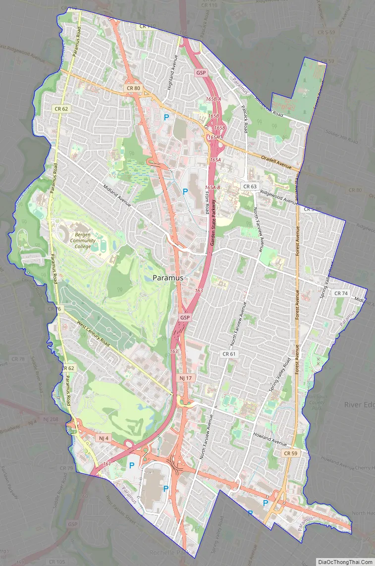
Paramus Road Map
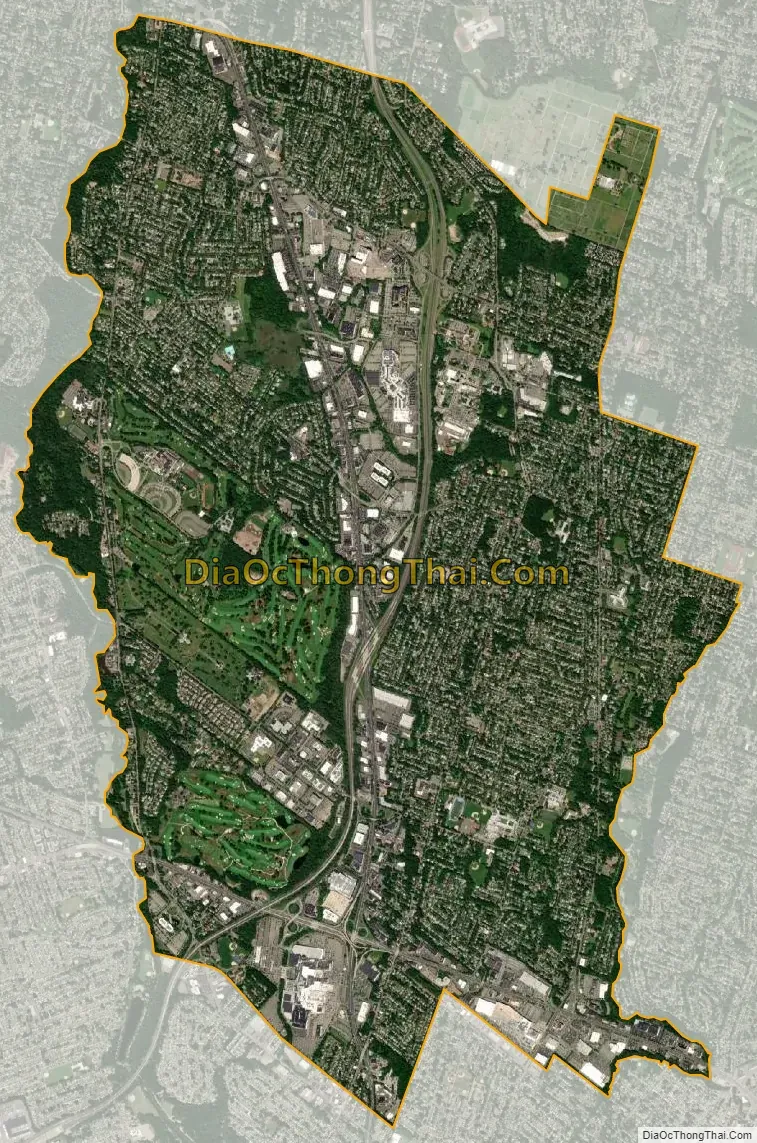
Paramus city Satellite Map
Geography
According to the United States Census Bureau, the borough had a total area of 10.51 square miles (27.21 km), including 10.45 square miles (27.05 km) of land and 0.06 square miles (0.16 km) of water (0.60%).
The borough borders the Bergen County municipalities of Emerson, Fair Lawn, Glen Rock, Hackensack, Maywood, Oradell, Ridgewood, River Edge, Rochelle Park, Saddle Brook and Washington Township.
Named neighborhoods within the borough include Arcola, Bergen Place, Dunkerhook, Fairway Oaks, and Spring Valley.
See also
Map of New Jersey State and its subdivision: Map of other states:- Alabama
- Alaska
- Arizona
- Arkansas
- California
- Colorado
- Connecticut
- Delaware
- District of Columbia
- Florida
- Georgia
- Hawaii
- Idaho
- Illinois
- Indiana
- Iowa
- Kansas
- Kentucky
- Louisiana
- Maine
- Maryland
- Massachusetts
- Michigan
- Minnesota
- Mississippi
- Missouri
- Montana
- Nebraska
- Nevada
- New Hampshire
- New Jersey
- New Mexico
- New York
- North Carolina
- North Dakota
- Ohio
- Oklahoma
- Oregon
- Pennsylvania
- Rhode Island
- South Carolina
- South Dakota
- Tennessee
- Texas
- Utah
- Vermont
- Virginia
- Washington
- West Virginia
- Wisconsin
- Wyoming


