West Wildwood is a borough in Cape May County, in the U.S. state of New Jersey. The city, and all of Cape May County, is part of the Ocean City metropolitan statistical area, and is part of the Philadelphia–Wilmington–Camden, PA-NJ-DE–MD combined statistical area, also known as the Delaware Valley or Philadelphia metropolitan area. As of the 2020 United States census, the borough’s population was 540, a decrease of 63 (−10.4%) from the 2010 census count of 603, which in turn reflected an increase of 155 (+34.6%) from the 448 counted in the 2000 census. The summer population grows to as much as 5,000.
West Wildwood was incorporated as a borough by an act of the New Jersey Legislature on April 21, 1920, from portions of Middle Township.
| Name: | West Wildwood borough |
|---|---|
| LSAD Code: | 21 |
| LSAD Description: | borough (suffix) |
| State: | New Jersey |
| County: | Cape May County |
| Incorporated: | April 21, 1920 |
| Elevation: | 0 ft (0 m) |
| Total Area: | 0.36 sq mi (0.94 km²) |
| Land Area: | 0.29 sq mi (0.74 km²) |
| Water Area: | 0.08 sq mi (0.20 km²) 21.67% |
| Total Population: | 540 |
| Population Density: | 1,887.7/sq mi (728.8/km²) |
| ZIP code: | 08260 |
| Area code: | 609 |
| FIPS code: | 3480210 |
| GNISfeature ID: | 0885441 |
| Website: | www.westwildwood.org |
Online Interactive Map
Click on ![]() to view map in "full screen" mode.
to view map in "full screen" mode.
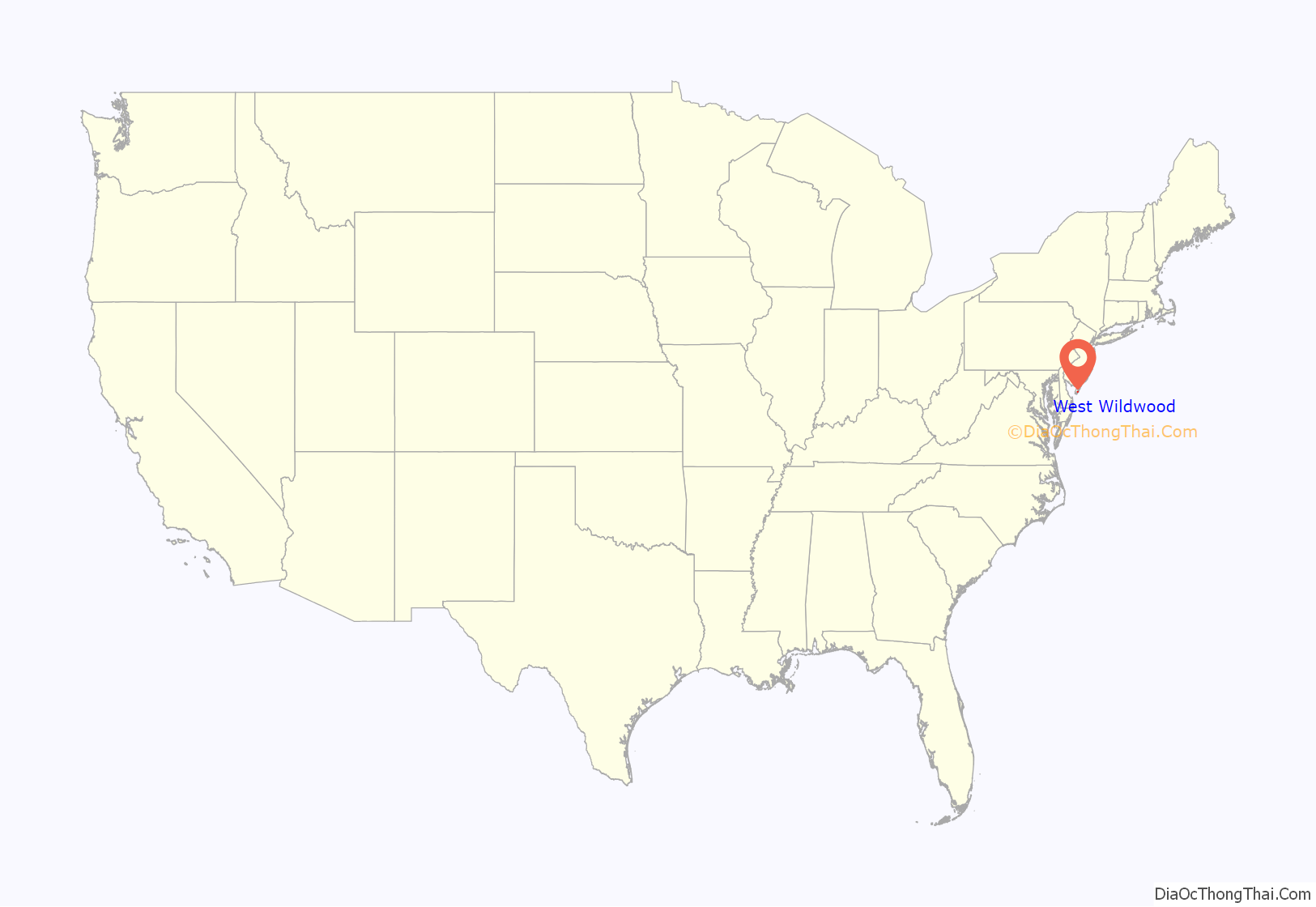
West Wildwood location map. Where is West Wildwood borough?
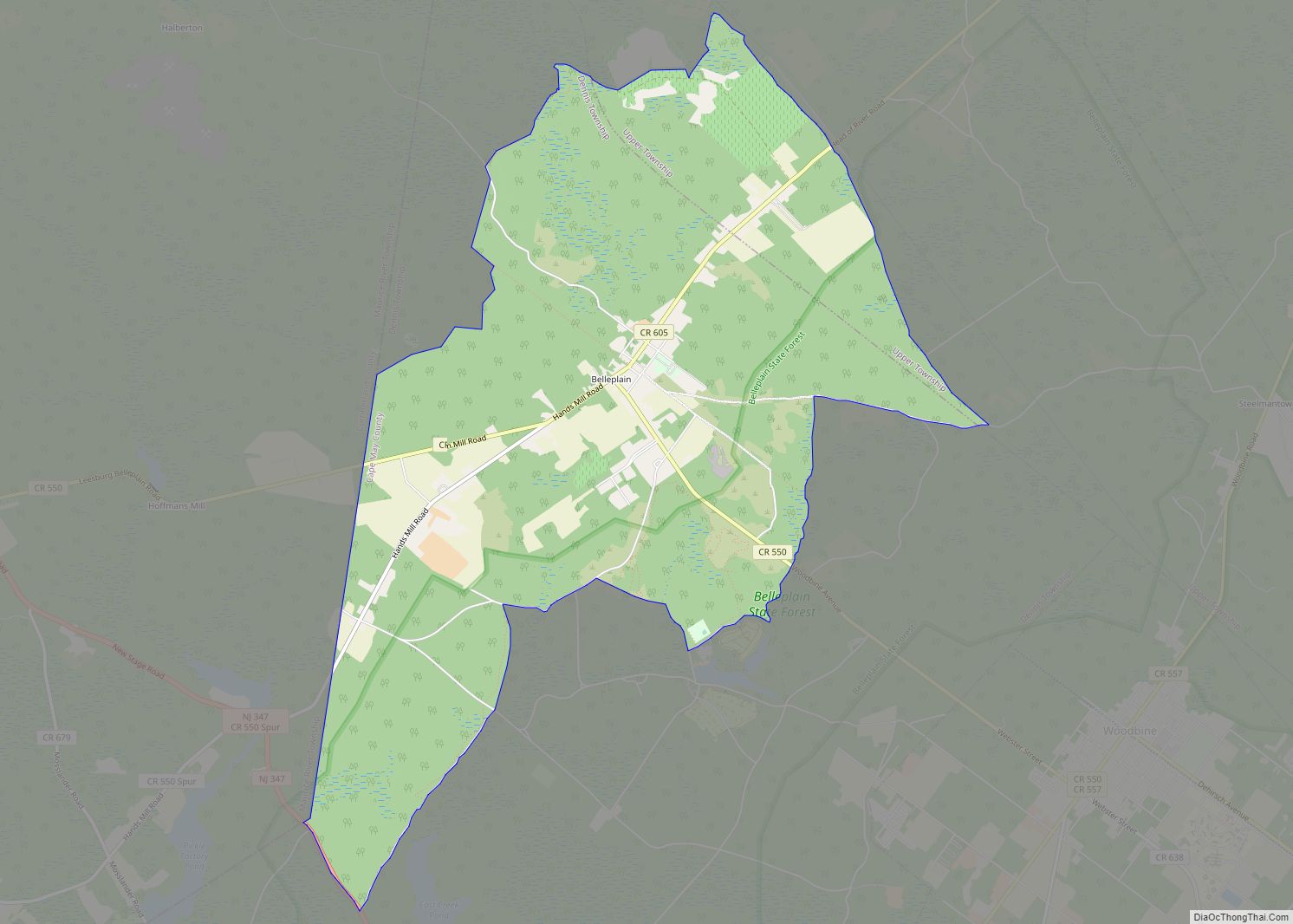
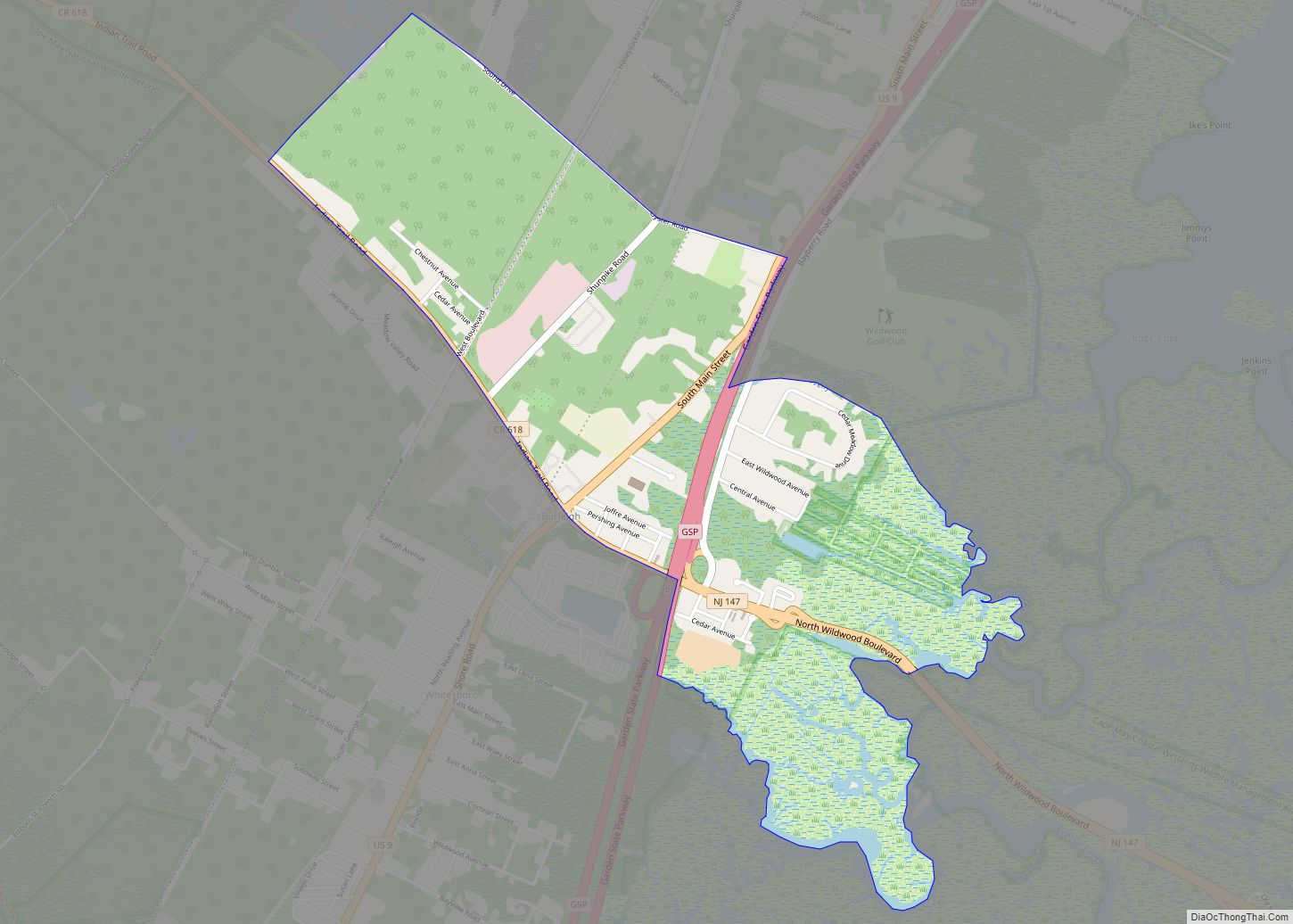
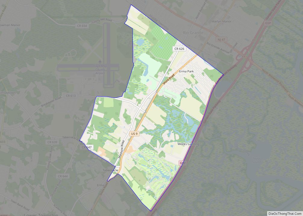
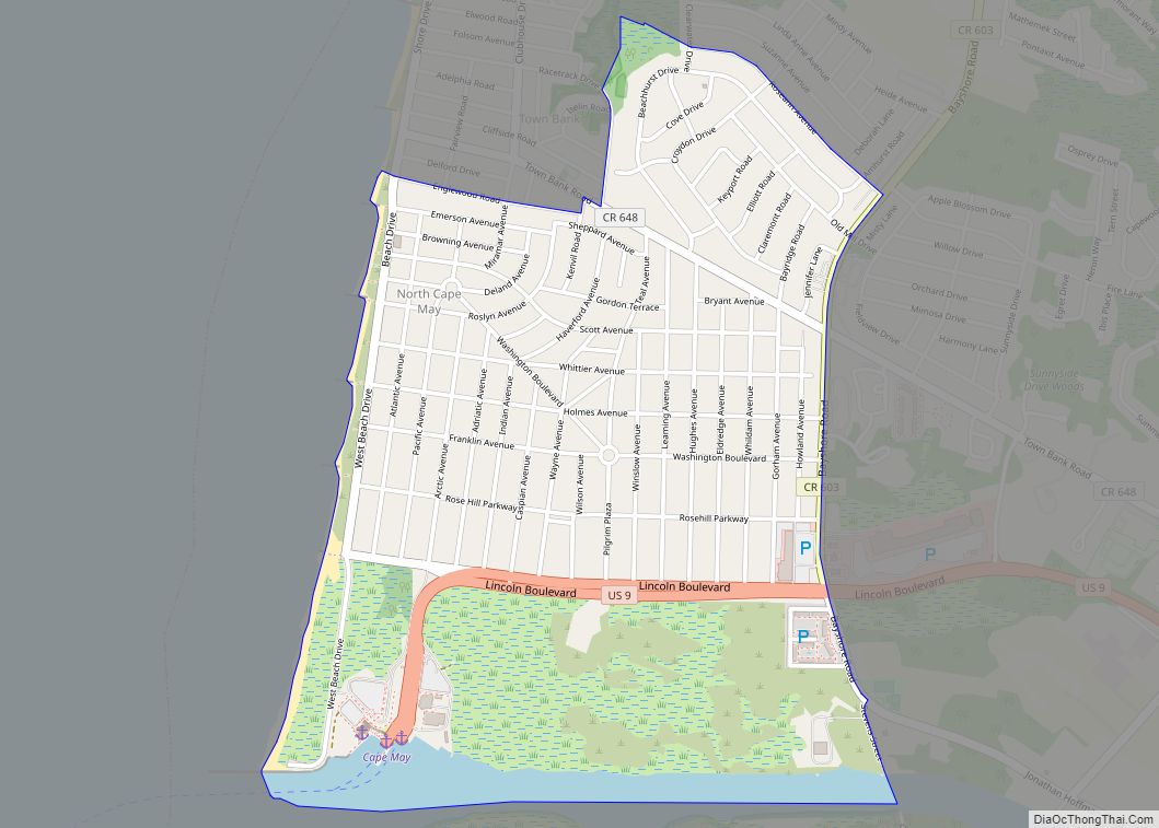
West Wildwood Road Map
West Wildwood city Satellite Map
Geography
According to the United States Census Bureau, the borough had a total area of 0.36 square miles (0.94 km), including 0.29 square miles (0.74 km) of land and 0.08 square miles (0.20 km) of water (21.67%).
The borough borders the Cape May County municipalities of Middle Township, North Wildwood City and Wildwood City.
Located on a small island connected to Wildwood by a two-lane bridge, the borough consists primarily vacation and year-round homes with a single night club, a miniature golf course and several marinas. Created using landfill to cover existing marshes in the 1920s, the borough is surrounding by bulkheads to protect it from flooding, though heavy winds and high tides can overtop the flood protection mechanisms.
See also
Map of New Jersey State and its subdivision: Map of other states:- Alabama
- Alaska
- Arizona
- Arkansas
- California
- Colorado
- Connecticut
- Delaware
- District of Columbia
- Florida
- Georgia
- Hawaii
- Idaho
- Illinois
- Indiana
- Iowa
- Kansas
- Kentucky
- Louisiana
- Maine
- Maryland
- Massachusetts
- Michigan
- Minnesota
- Mississippi
- Missouri
- Montana
- Nebraska
- Nevada
- New Hampshire
- New Jersey
- New Mexico
- New York
- North Carolina
- North Dakota
- Ohio
- Oklahoma
- Oregon
- Pennsylvania
- Rhode Island
- South Carolina
- South Dakota
- Tennessee
- Texas
- Utah
- Vermont
- Virginia
- Washington
- West Virginia
- Wisconsin
- Wyoming
