Wildwood is a city in Cape May County in the U.S. state of New Jersey. The city, and all of Cape May County, is part of the Ocean City metropolitan statistical area, and is part of the Philadelphia–Wilmington–Camden, PA-NJ-DE–MD combined statistical area, also known as the Delaware Valley or Philadelphia metropolitan area. As of the 2020 United States census, the city’s year-round population was 5,157, a decrease of 168 (−3.2%) from the 2010 census count of 5,325, which in turn reflected a decline of 111 (−2.0%) from the 5,436 counted in the 2000 census. A popular Jersey Shore resort destination, the population can swell to 250,000 during the summer. Wildwood was the first city in New Jersey to have a female mayor, Doris W. Bradway, who was ousted in a 1938 recall election.
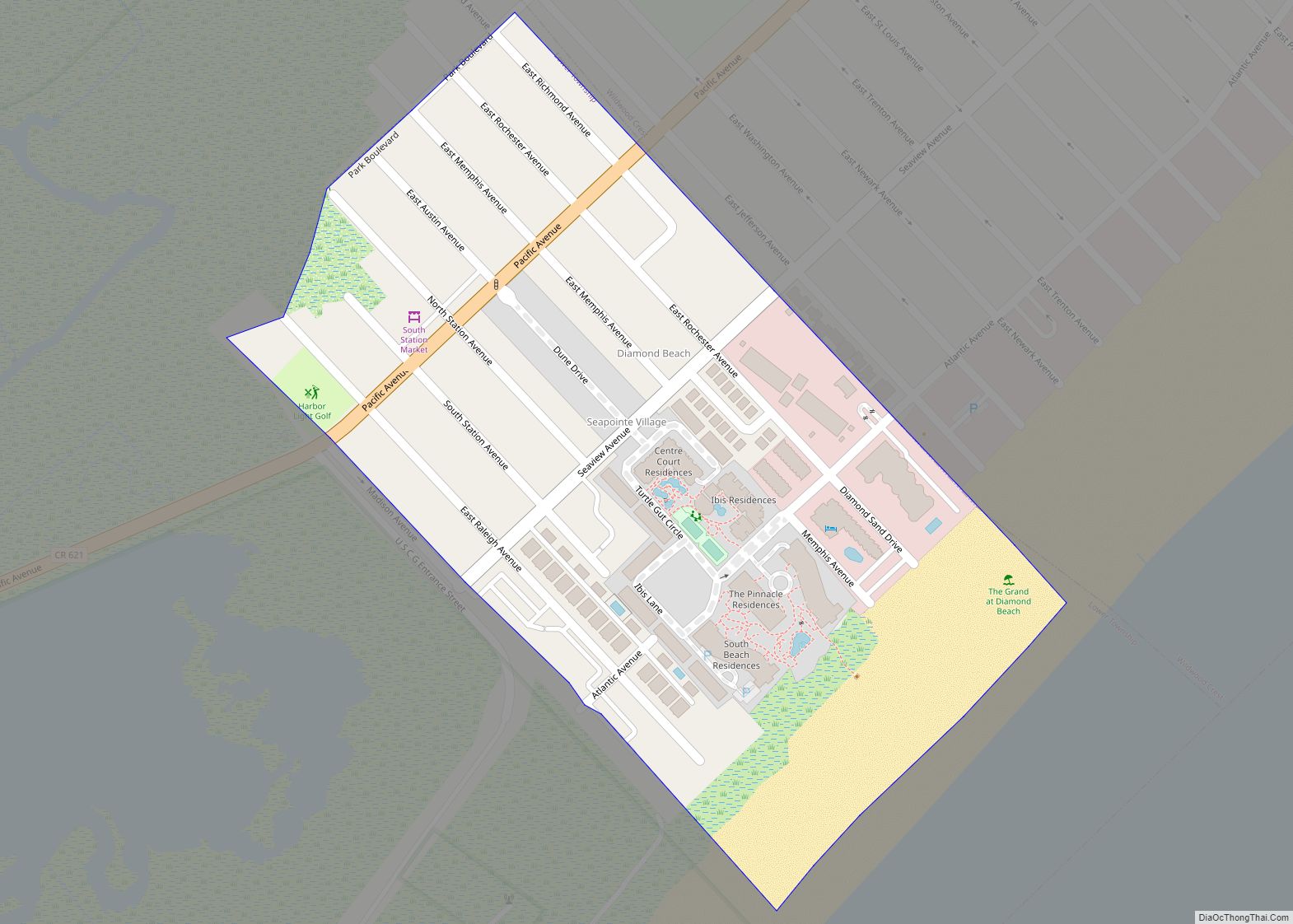
The city of Wildwood proper constitutes the center of the island communities collectively known as The Wildwoods. The Wildwoods is used as a collective term to describe four communities on the island with the name Wildwood attached to them: North Wildwood, West Wildwood, Wildwood, and Wildwood Crest. Also part of The Wildwoods are Diamond Beach and a portion of Lower Township on the island. The city, and the surrounding communities that share the name, derives its name from the wild flowers found in the area. Wildwood is part of the South Jersey region of the state.
| Name: | Wildwood city |
|---|---|
| LSAD Code: | 25 |
| LSAD Description: | city (suffix) |
| State: | New Jersey |
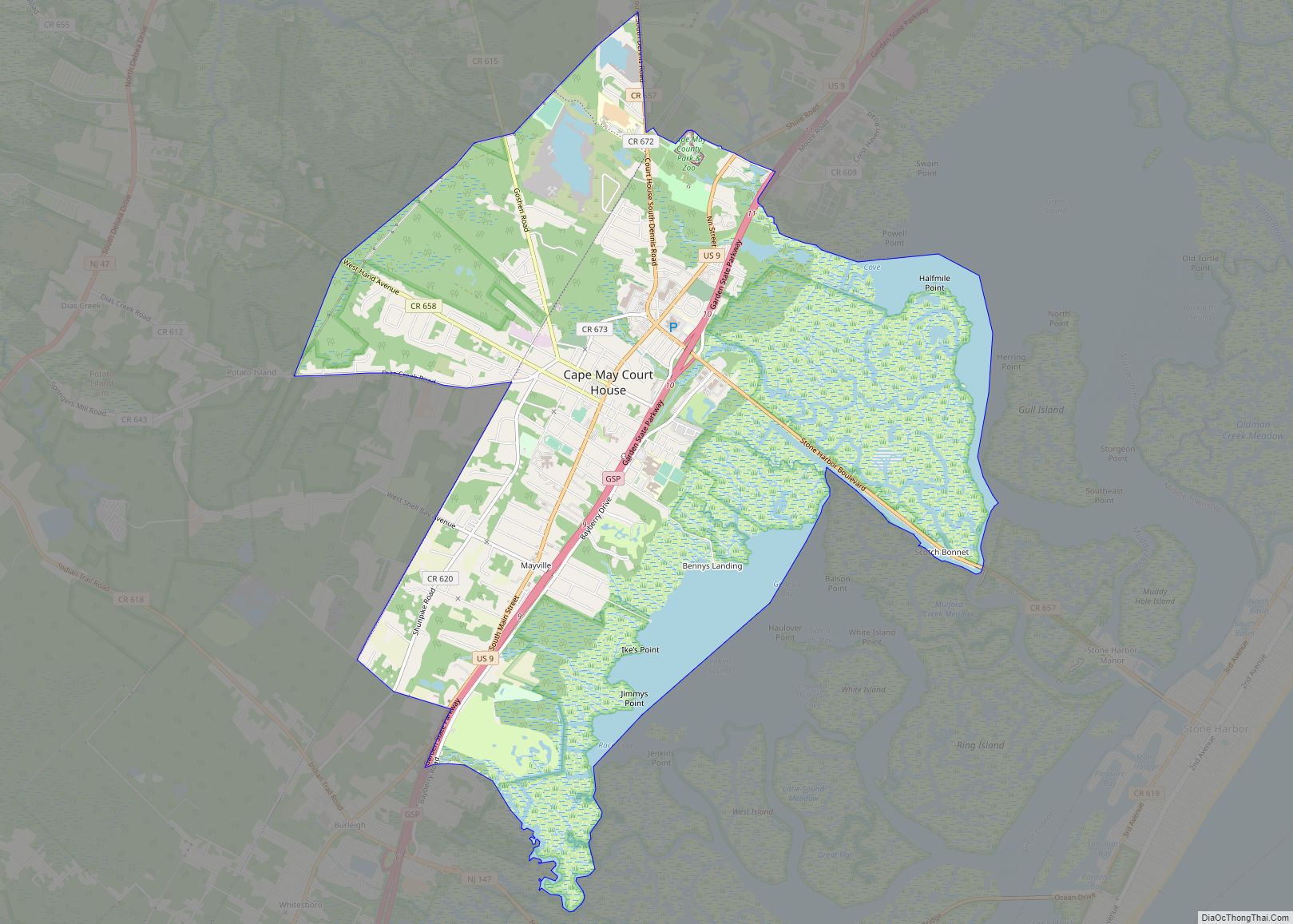
| County: | Cape May County |
| Incorporated: | May 1, 1895 (as borough) January 1, 1912 (as city) |
| Elevation: | 7 ft (2 m) |
| Total Area: | 1.65 sq mi (4.28 km²) |
| Land Area: | 1.54 sq mi (3.99 km²) |
| Water Area: | 0.11 sq mi (0.29 km²) 6.79% |
| Total Population: | 5,157 |
| Population Density: | 3,346.5/sq mi (1,292.1/km²) |
| ZIP code: | 08260 |
| Area code: | 609 exchanges: 522, 523, 729, 846 |
| FIPS code: | 3481170 |
| GNISfeature ID: | 0885444 |
| Website: | www.wildwoodnj.org |
Online Interactive Map
Click on ![]() to view map in "full screen" mode.
to view map in "full screen" mode.
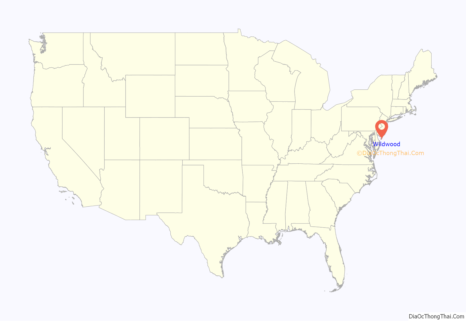
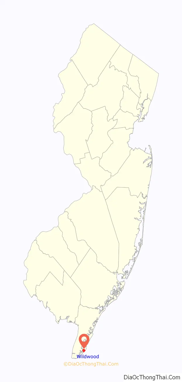
Wildwood location map. Where is Wildwood city?
History
Wildwood was originally incorporated as a borough by an act of the New Jersey Legislature on May 1, 1895, from portions of Middle Township, based on the results of a referendum held the previous day. On January 1, 1912, Wildwood was incorporated as a city, replacing both Wildwood borough and Holly Beach City.
The Wildwoods began developing as a resort in the last decade of the 19th century. A building boom began in the 1950s, due partially to the construction and completion of the Garden State Parkway in 1955.
“Rock Around the Clock”, often credited as the first rock and roll record, was first performed on Memorial Day weekend in 1954 at the HofBrau Hotel in Wildwood by Bill Haley & His Comets. The song’s status as one of the first rock and roll hits has given rise to the city’s claim as “the birthplace of rock and roll”. Chubby Checker introduced his version of “The Twist” at the Rainbow Club in Wildwood. On occasion, American Bandstand broadcast from the Wildwood’s Starlight Ballroom. Murals in the community honor Checker, Bill Haley; and Bobby Rydell. Rydell’s major hit, “Wildwood Days” in 1963, is about Wildwood.
Wildwoods Shore Resort Historic District
Wildwood is home to over 200 motels, built during the Doo-Wop era of the 1950s and 1960s, in an area recognized by the state of New Jersey, known as the Wildwoods Shore Resort Historic District. The term “doo-wop” was coined by Cape May‘s Mid-Atlantic Center For The Arts in the early 1990s to describe the unique, space-age architectural style, which is also referred to as the Googie or populuxe style.
The motels are unique in appearance, with Vegas-like neon signs and fantastic architecture. New construction in the area has seen the demolition of several motels to make room for larger condominiums. The Wildwood Doo Wop Preservation League has taken action to help save and restore these historic buildings. The Caribbean Motel in Wildwood Crest, and the Chateau Bleu Motel in North Wildwood are both listed on the National Register of Historic Places.
A 1950s Doo Wop museum includes property from demolished motels such as neon signs and furniture. Neo-Doo Wop buildings in the area feature a neon lit Wawa and a 1950s styled Acme Supermarket.
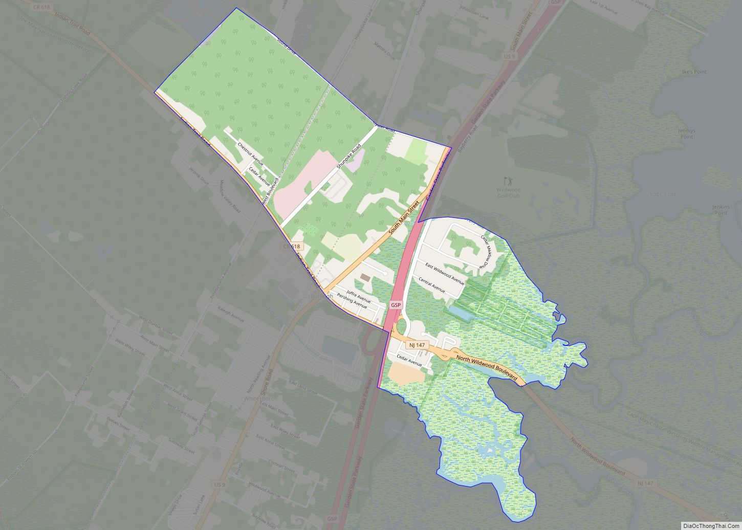
Wildwood Road Map
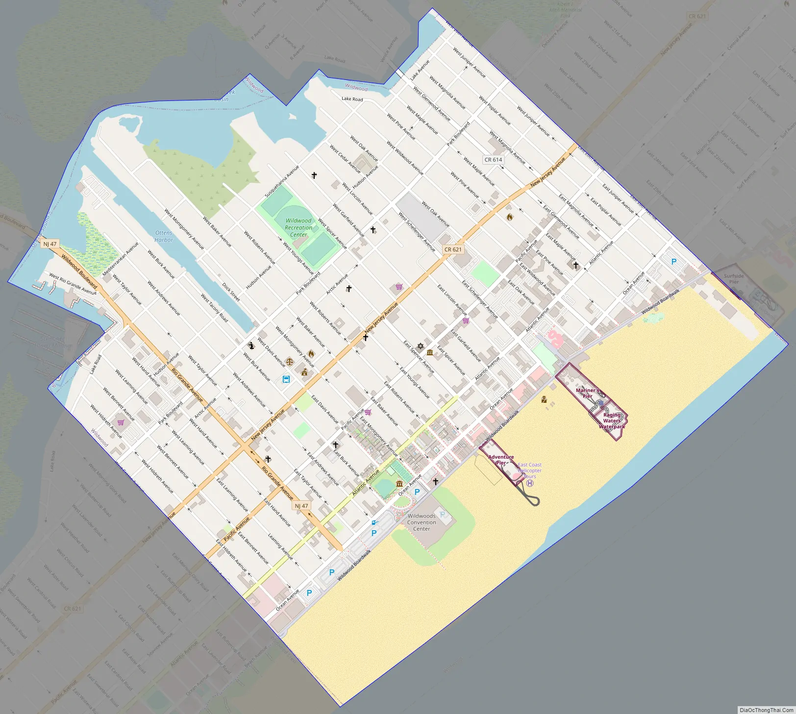
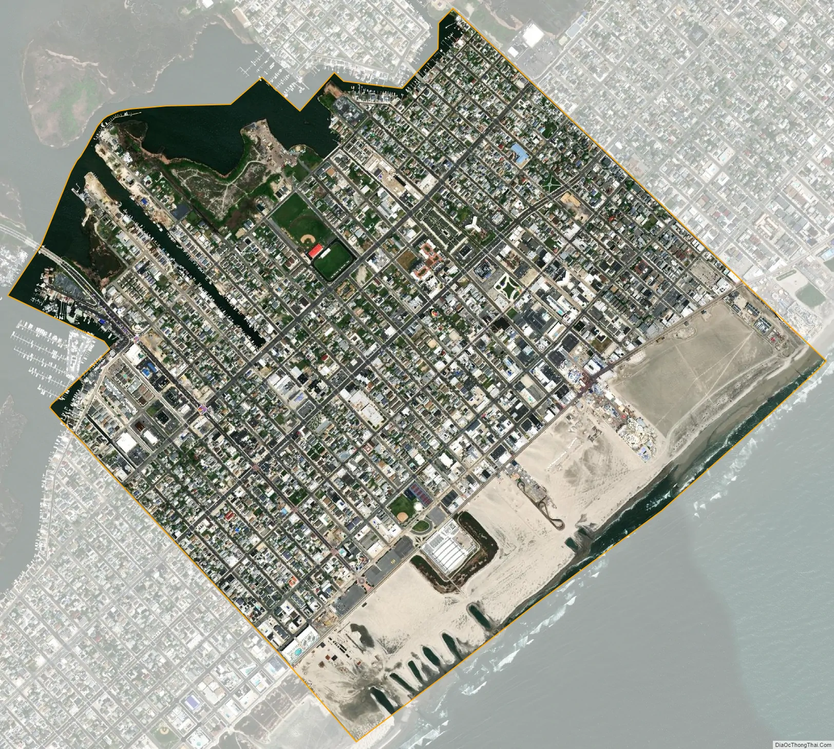
Wildwood city Satellite Map
Geography
According to the U.S. Census Bureau, the city had a total area of 1.65 square miles (4.28 km), including 1.54 square miles (3.99 km) of land and 0.11 square miles (0.29 km) of water (6.79%).
The city is located on a barrier island facing the Atlantic Ocean. On the same island is the city of North Wildwood, borough of Wildwood Crest, and the unincorporated community of Diamond Beach, a place in Lower Township. Collectively with the town of West Wildwood (located on a separate, adjacent island), these communities form “The Wildwoods” resort. Wildwood also borders Middle Township.
Unincorporated communities, localities and place names located partially or completely within the city include Five Mile Beach.
See also
Map of New Jersey State and its subdivision: Map of other states:- Alabama
- Alaska
- Arizona
- Arkansas
- California
- Colorado
- Connecticut
- Delaware
- District of Columbia
- Florida
- Georgia
- Hawaii
- Idaho
- Illinois
- Indiana
- Iowa
- Kansas
- Kentucky
- Louisiana
- Maine
- Maryland
- Massachusetts
- Michigan
- Minnesota
- Mississippi
- Missouri
- Montana
- Nebraska
- Nevada
- New Hampshire
- New Jersey
- New Mexico
- New York
- North Carolina
- North Dakota
- Ohio
- Oklahoma
- Oregon
- Pennsylvania
- Rhode Island
- South Carolina
- South Dakota
- Tennessee
- Texas
- Utah
- Vermont
- Virginia
- Washington
- West Virginia
- Wisconsin
- Wyoming