Woodbine is a borough in Cape May County, in the U.S. state of New Jersey. The borough, and all of Cape May County, is part of the South Jersey region of the state and of the Ocean City metropolitan statistical area, which is part of the Philadelphia–Wilmington–Camden, PA-NJ-DE–MD combined statistical area, also known as the Delaware Valley or Philadelphia metropolitan area. As of the 2020 United States census, the borough’s population was 2,128, a decrease of 344 (−13.9%) from the 2010 census count of 2,472, which in turn reflected a decline of 244 (−9.0%) from the 2,716 counted in the 2000 Census.
Woodbine was incorporated as a borough by an act of the New Jersey Legislature on March 3, 1903, from portions of Dennis Township.
| Name: | Woodbine borough |
|---|---|
| LSAD Code: | 21 |
| LSAD Description: | borough (suffix) |
| State: | New Jersey |
| County: | Cape May County |
| Incorporated: | March 3, 1903 |
| Elevation: | 33 ft (10 m) |
| Total Area: | 8.02 sq mi (20.77 km²) |
| Land Area: | 8.02 sq mi (20.77 km²) |
| Water Area: | 0.00 sq mi (0.00 km²) 0.00% |
| Total Population: | 2,128 |
| Population Density: | 265.4/sq mi (102.5/km²) |
| ZIP code: | 08270 |
| Area code: | 609 Exchanges: 628, 861 |
| FIPS code: | 3481890 |
| GNISfeature ID: | 0885446 |
| Website: | www.boroughofwoodbine.net |
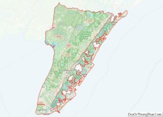
Online Interactive Map
Click on ![]() to view map in "full screen" mode.
to view map in "full screen" mode.
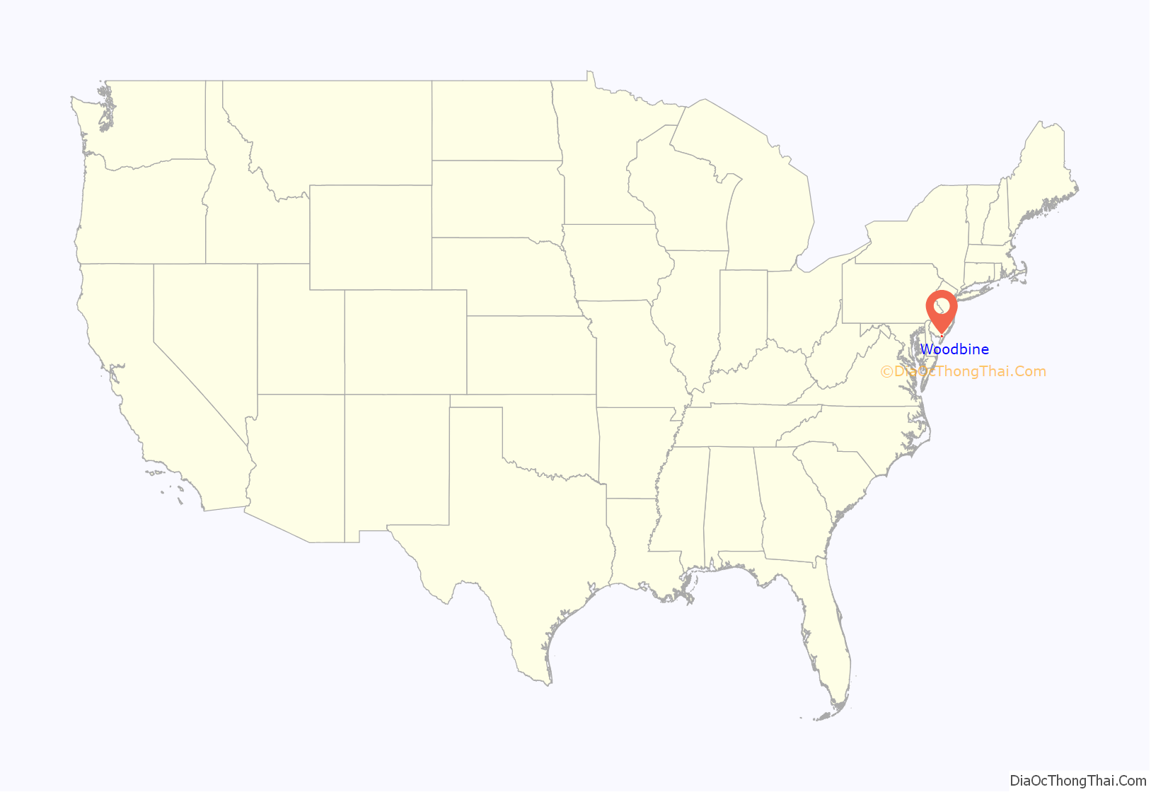
Woodbine location map. Where is Woodbine borough?
History
Woodbine was founded in 1891 as a settlement for Eastern European Jews. The Baron DeHirsch Fund, organized by philanthropist Maurice de Hirsch, purchased 5,300 acres (21 km) of land in Dennis Township in Cape May County to start a settlement. Immigrants from Poland and Russia were invited to settle the new community. Within two years, they cleared the forest and built a settlement with thriving farms, with 800 acres (3.2 km) of land set aside as town lots. The residential center of Woodbine still uses the same grid that was originally laid out in 1891. Using modern agricultural practices under the direction of agriculturist and chemist Hirsch Loeb Sabsovich, the first colonists (Woodbine was sometimes called the “Jewish Colony” in the early days) turned Woodbine into a model agricultural community.
Woodbine was incorporated as a borough by an act of the New Jersey Legislature on March 3, 1903, from portions of Dennis Township. Because most of the original settlers were Jewish, Woodbine became known as “the first self-governing Jewish community since the fall of Jerusalem.”
The community started the Baron DeHirsch Agricultural College in 1894. Until it was closed during World War I (1917), the college was a model of progressive education. The college and its graduates won many state, national, and international awards. World War I, however, signaled a change in the community from an agricultural economy to one with a light manufacturing economy. The Baron DeHirsch Agricultural College became what is today the Woodbine Developmental Center, a state-run facility for training the mentally handicapped. The Developmental Center is Cape May County’s largest employer.
During World War II, the United States Army built an airfield in Woodbine to be used as a training base and as a base for anti-submarine patrols. German U-boats were very active off the East Coast of America, especially off the Jersey coast. Today, Woodbine Municipal Airport is the center of Woodbine’s redevelopment efforts.
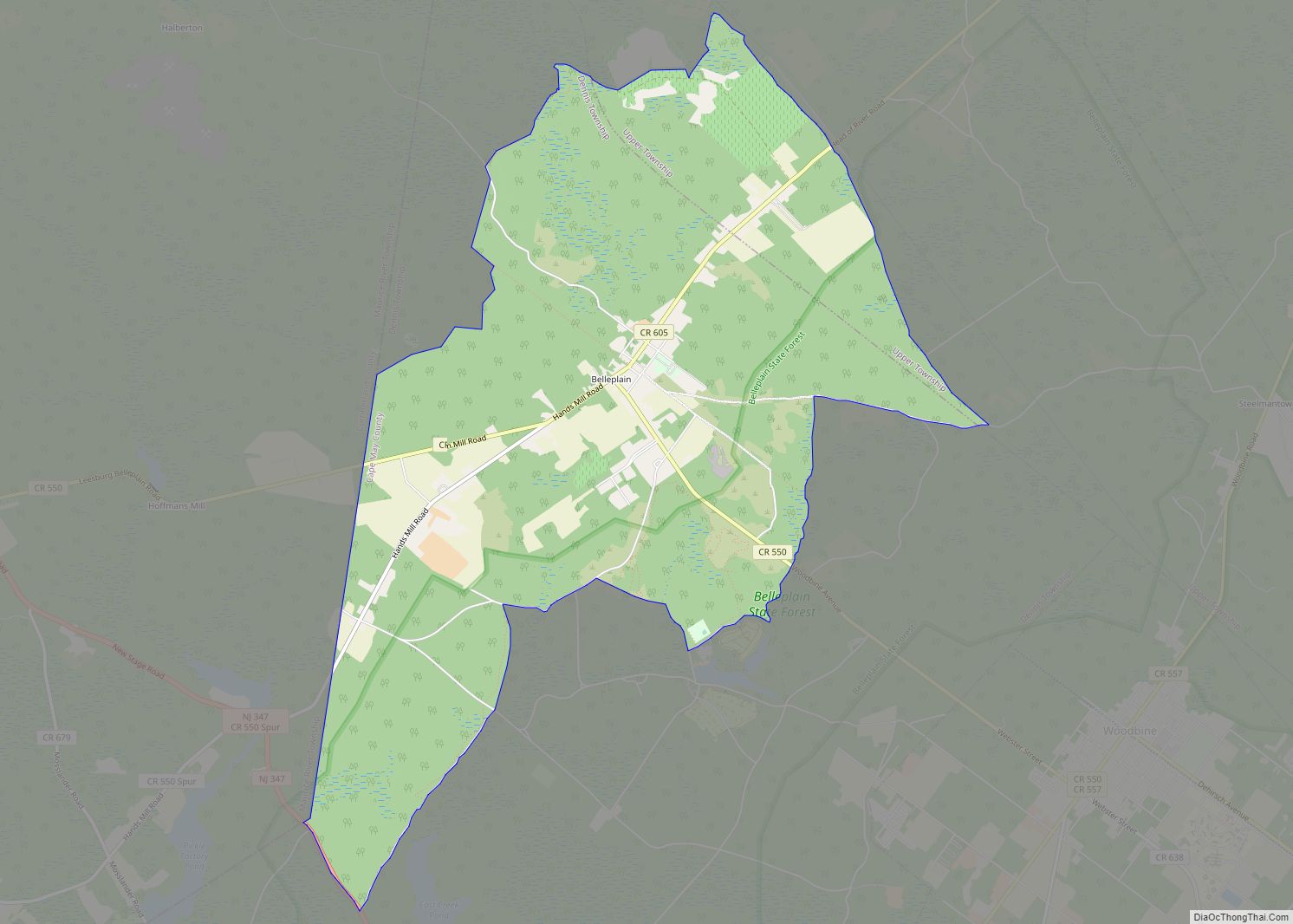
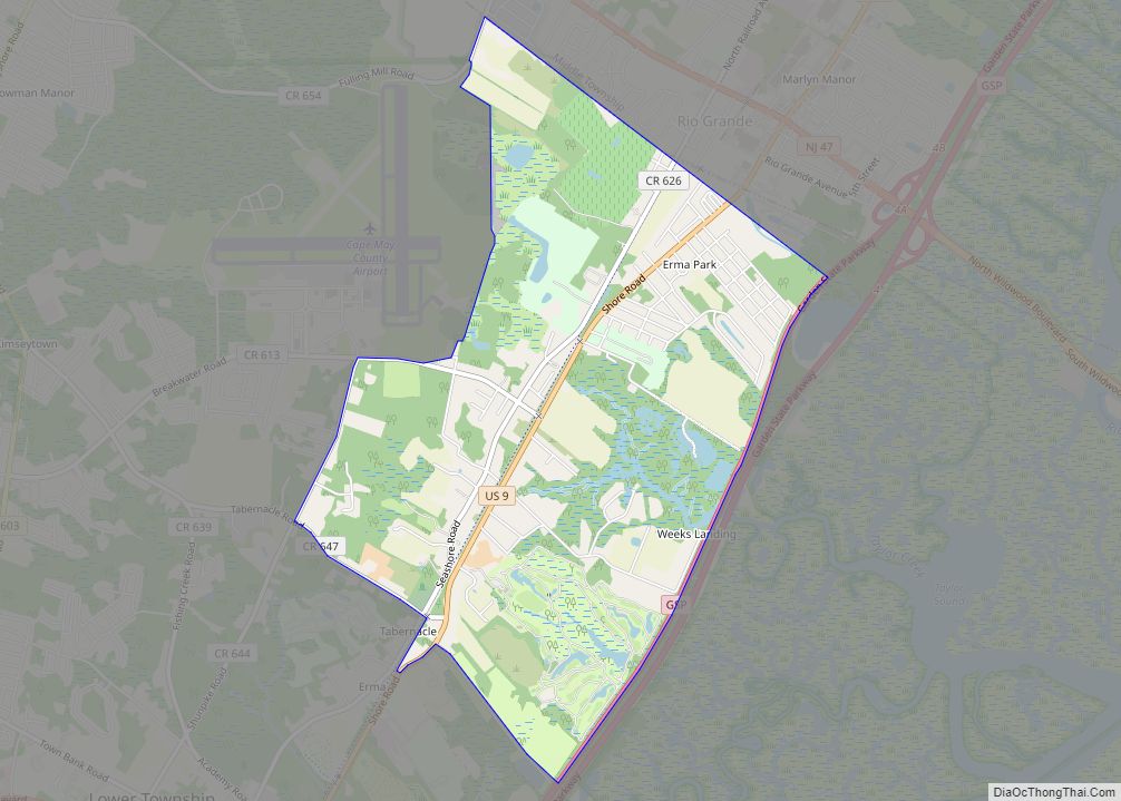
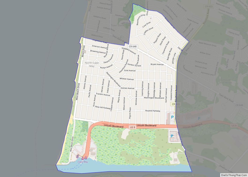
Woodbine Road Map
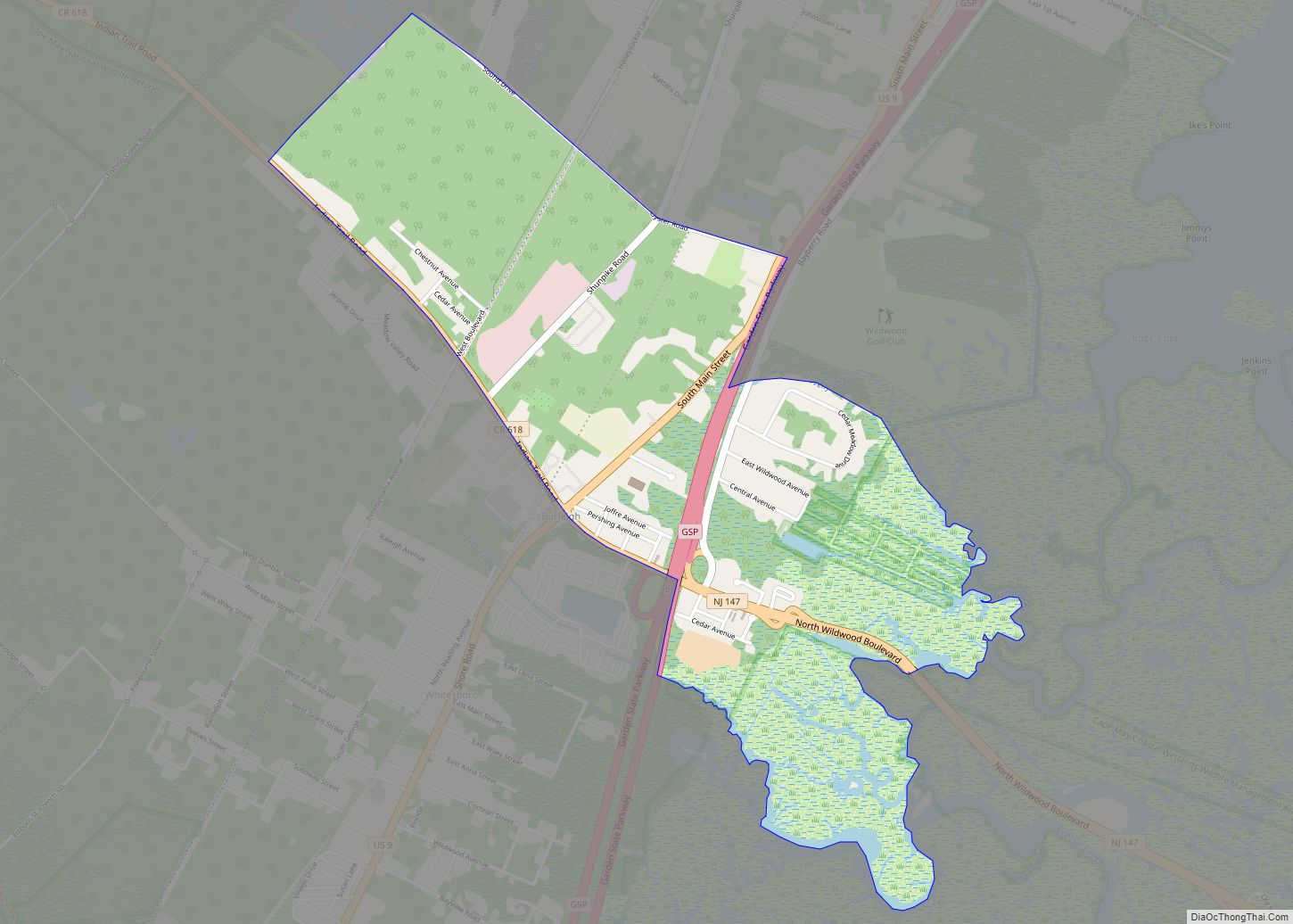
Woodbine city Satellite Map
Geography
According to the United States Census Bureau, the borough had a total area of 8.02 square miles (20.77 km), all of which was land.
The borough borders Dennis Township and Upper Township.
Climate
The climate in this area is characterized by hot, humid summers and generally mild to cool winters. According to the Köppen Climate Classification system, Woodbine has a humid subtropical climate, abbreviated “Cfa” on climate maps.
See also
Map of New Jersey State and its subdivision: Map of other states:- Alabama
- Alaska
- Arizona
- Arkansas
- California
- Colorado
- Connecticut
- Delaware
- District of Columbia
- Florida
- Georgia
- Hawaii
- Idaho
- Illinois
- Indiana
- Iowa
- Kansas
- Kentucky
- Louisiana
- Maine
- Maryland
- Massachusetts
- Michigan
- Minnesota
- Mississippi
- Missouri
- Montana
- Nebraska
- Nevada
- New Hampshire
- New Jersey
- New Mexico
- New York
- North Carolina
- North Dakota
- Ohio
- Oklahoma
- Oregon
- Pennsylvania
- Rhode Island
- South Carolina
- South Dakota
- Tennessee
- Texas
- Utah
- Vermont
- Virginia
- Washington
- West Virginia
- Wisconsin
- Wyoming
