Woodcliff Lake is a borough in Bergen County, in the U.S. state of New Jersey. As of the 2020 United States census, the borough’s population was 6,128, an increase of 398 (+6.9%) from the 2010 census count of 5,730, which in turn reflected a decline of 15 (−0.3%) from the 5,745 counted at the 2000 census. Most of the borough mandates a minimum lot size of 22,500 square feet (2,090 m) for single-family homes, with portions on the borough’s east zoned for 15,000 square feet (1,400 m) and portions of the borough’s northwest and southwest zoned for 30,000 square feet (2,800 m) lots.
Woodcliff Lake is also the name of the reservoir that lies primarily within the borough, with a small portion at the southeastern edge located in neighboring Hillsdale.
| Name: | Woodcliff Lake borough |
|---|---|
| LSAD Code: | 21 |
| LSAD Description: | borough (suffix) |
| State: | New Jersey |
| County: | Bergen County |
| Incorporated: | August 31, 1894, as Woodcliff |
| Elevation: | 230 ft (70 m) |
| Total Area: | 3.55 sq mi (9.19 km²) |
| Land Area: | 3.38 sq mi (8.74 km²) |
| Water Area: | 0.17 sq mi (0.45 km²) 4.85% |
| Total Population: | 6,128 |
| Population Density: | 1,815.2/sq mi (700.9/km²) |
| ZIP code: | 07677 |
| Area code: | 201 |
| FIPS code: | 3482300 |
| GNISfeature ID: | 0885449 |
| Website: | www.wclnj.com |
Online Interactive Map
Click on ![]() to view map in "full screen" mode.
to view map in "full screen" mode.
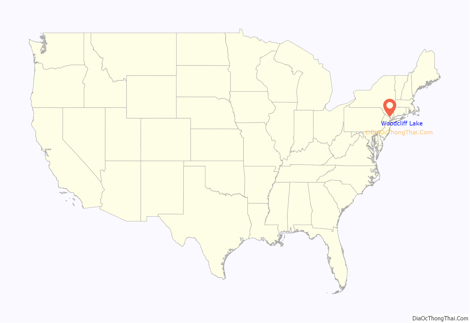
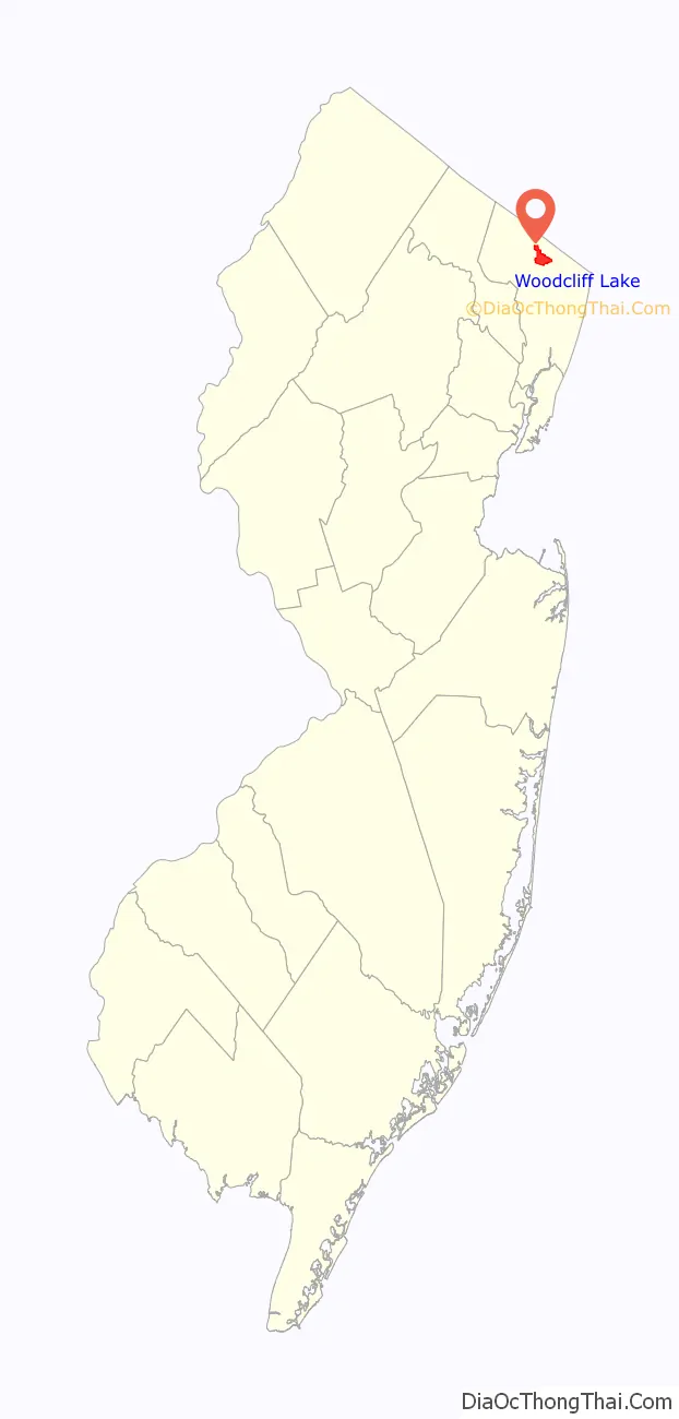
Woodcliff Lake location map. Where is Woodcliff Lake borough?
History
The borough was originally incorporated as the Borough of Woodcliff, on August 31, 1894, from parts of Orvil Township and Washington Township, based on the results of a referendum held three days earlier. The borough was formed during the “Boroughitis” phenomenon then sweeping through Bergen County, in which 26 boroughs were formed in the county in 1894 alone. The borough derives its name from the characteristics of its geography.
On March 1, 1910, after the creation of the reservoir, the name of the borough was changed to Woodcliff Lake, to match the name of the post office. Prior to the creation of ZIP Codes as a way to uniquely identify addresses, United States Postal Service policy was that two post offices in a state could not have the same name, and there was already a “Woodcliff” in Hudson County. On January 1, 1956, and again on July 1, 1958, Woodcliff Lake exchanged sections of land with Park Ridge. On October 13, 1960, portions were exchanged with Hillsdale.
Woodcliff Lake has many historic houses and buildings, some dating from the 18th century. Many old buildings are also present, but are likely to have been modified through the years. The borough has seen intense development over the past 50 years, as virtually all areas available for construction have been developed.
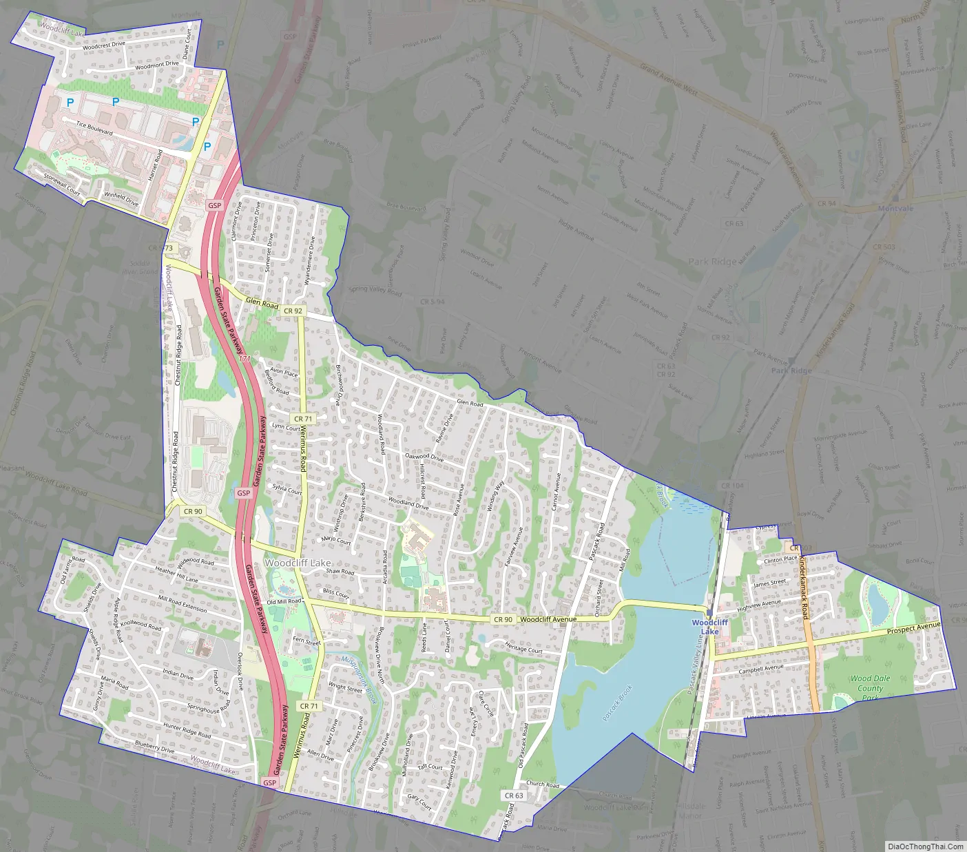
Woodcliff Lake Road Map
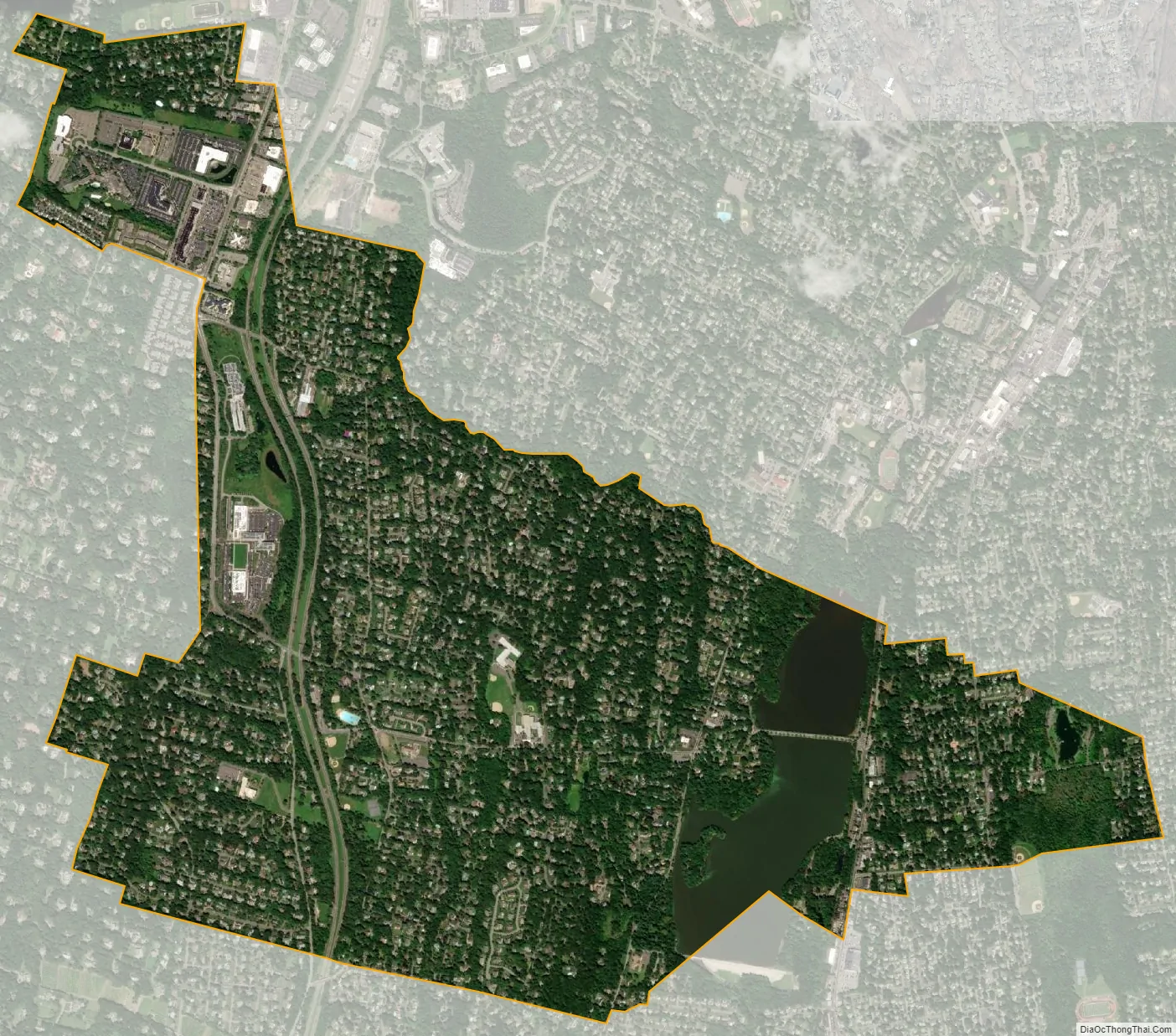
Woodcliff Lake city Satellite Map
Geography
According to the United States Census Bureau, the borough had a total area of 3.55 square miles (9.19 km), including 3.38 square miles (8.74 km) of land and 0.17 square miles (0.45 km) of water (4.85%).
The borough is bordered by the Bergen County municipalities of Hillsdale, Montvale, Park Ridge, River Vale, Saddle River, and small portions of Upper Saddle River. Woodcliff Lake is located approximately 20 miles (32 km) northwest of Manhattan.
See also
Map of New Jersey State and its subdivision: Map of other states:- Alabama
- Alaska
- Arizona
- Arkansas
- California
- Colorado
- Connecticut
- Delaware
- District of Columbia
- Florida
- Georgia
- Hawaii
- Idaho
- Illinois
- Indiana
- Iowa
- Kansas
- Kentucky
- Louisiana
- Maine
- Maryland
- Massachusetts
- Michigan
- Minnesota
- Mississippi
- Missouri
- Montana
- Nebraska
- Nevada
- New Hampshire
- New Jersey
- New Mexico
- New York
- North Carolina
- North Dakota
- Ohio
- Oklahoma
- Oregon
- Pennsylvania
- Rhode Island
- South Carolina
- South Dakota
- Tennessee
- Texas
- Utah
- Vermont
- Virginia
- Washington
- West Virginia
- Wisconsin
- Wyoming


