Amity is a city in Yamhill County, Oregon, United States. As of the 2020 Census, the population was 1,757.
| Name: | Amity city |
|---|---|
| LSAD Code: | 25 |
| LSAD Description: | city (suffix) |
| State: | Oregon |
| County: | Yamhill County |
| Incorporated: | 1880 |
| Elevation: | 162 ft (49.38 m) |
| Total Area: | 0.60 sq mi (1.56 km²) |
| Land Area: | 0.59 sq mi (1.54 km²) |
| Water Area: | 0.01 sq mi (0.02 km²) |
| Total Population: | 1,757 |
| Population Density: | 2,957.91/sq mi (1,142.18/km²) |
| ZIP code: | 97101 |
| Area code: | 503 |
| FIPS code: | 4102000 |
| GNISfeature ID: | 1162813 |
| Website: | www.cityofamityoregon.org |
Online Interactive Map
Click on ![]() to view map in "full screen" mode.
to view map in "full screen" mode.
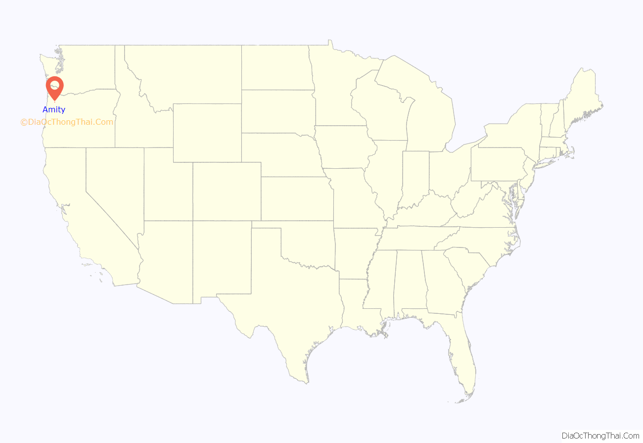
Amity location map. Where is Amity city?
History
The town was established between 1848 and 1849 by Joseph and Ahio S. Watt, two brothers who had immigrated to Oregon over the Oregon Trail. Part of Joseph’s land claim became the community’s townsite. The name “Amity” came from the name of a school that was built by two rival communities after the amicable settlement of a dispute. Ahio, the first teacher, named the school. Amity post office was established in 1852. Joseph established the first woolen mill in Oregon, and in 1868 shipped wheat to England in the first instance of Oregon wheat being sent around Cape Horn. The community was incorporated by the Oregon Legislative Assembly on October 19, 1880, originally as a town.
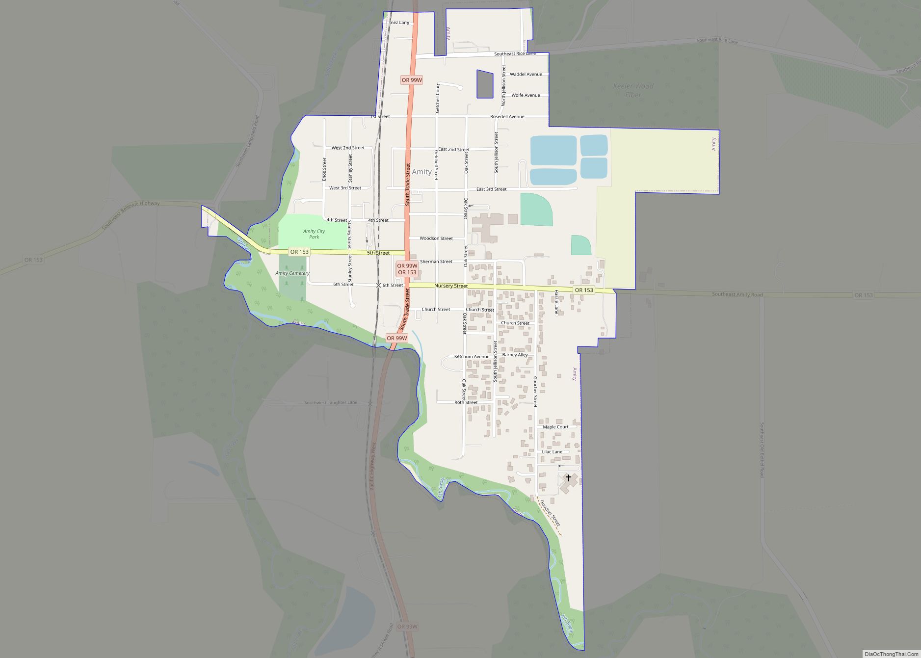
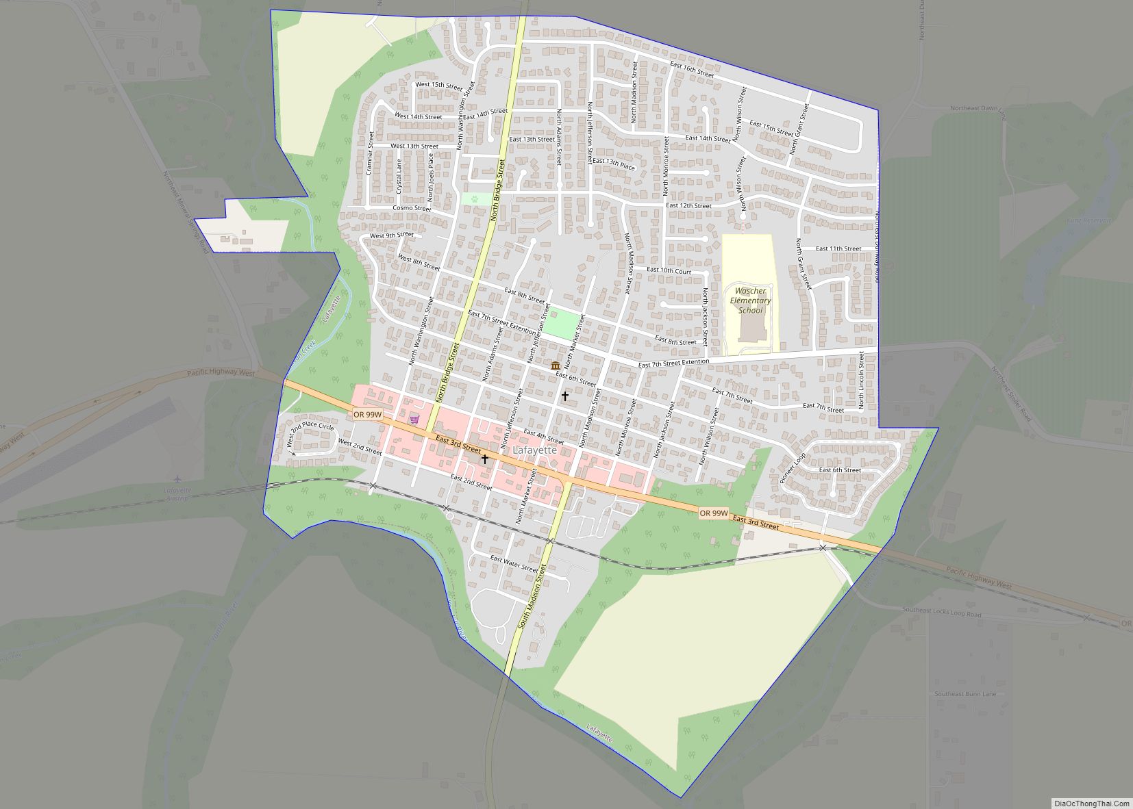
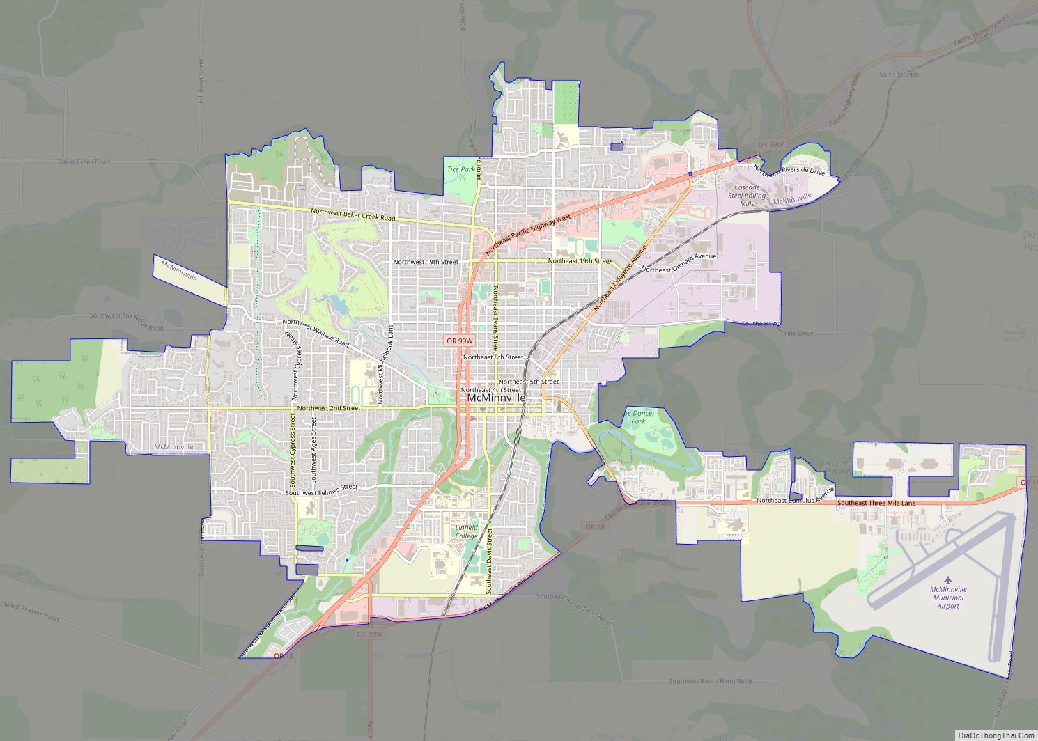
Amity Road Map
Amity city Satellite Map
Geography
According to the United States Census Bureau, the city has a total area of 0.61 square miles (1.58 km), of which, 0.60 square miles (1.55 km) is land and 0.01 square miles (0.03 km) is water.
See also
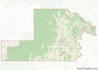
Map of Oregon State and its subdivision: Map of other states:- Alabama
- Alaska
- Arizona
- Arkansas
- California
- Colorado
- Connecticut
- Delaware
- District of Columbia
- Florida
- Georgia
- Hawaii
- Idaho
- Illinois
- Indiana
- Iowa
- Kansas
- Kentucky
- Louisiana
- Maine
- Maryland
- Massachusetts
- Michigan
- Minnesota
- Mississippi
- Missouri
- Montana
- Nebraska
- Nevada
- New Hampshire
- New Jersey
- New Mexico
- New York
- North Carolina
- North Dakota
- Ohio
- Oklahoma
- Oregon
- Pennsylvania
- Rhode Island
- South Carolina
- South Dakota
- Tennessee
- Texas
- Utah
- Vermont
- Virginia
- Washington
- West Virginia
- Wisconsin
- Wyoming
