McMinnville is the county seat of and largest city in Yamhill County, Oregon, United States. The city is named after McMinnville, Tennessee. As of the 2020 census, the city had a population of 34,319.
McMinnville is at the confluence of the North and South forks of the Yamhill River in the Willamette Valley. The city’s economy has both industry: Cascade Steel (a Schnitzer Steel Industries company), and service businesses: Oregon Mutual Insurance Company, the Woodworth Contrarian Hedge Fund. Linfield University provides higher education, including new degrees in wine studies. Attractions include Wings and Waves Water Park, Joe Dancer Park, and Evergreen Aviation & Space Museum, the home of Howard Hughes’s famed Spruce Goose flying boat. The city identifies as a center of the well-developed wine industry in the Willamette Valley, which has hundreds of wineries and vineyards.
| Name: | McMinnville city |
|---|---|
| LSAD Code: | 25 |
| LSAD Description: | city (suffix) |
| State: | Oregon |
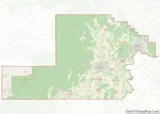
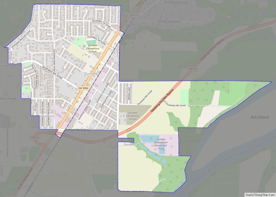
| County: | Yamhill County |
| Founded: | 1856 |
| Incorporated: | 1876 |
| Elevation: | 157 ft (47.9 m) |
| Total Area: | 10.58 sq mi (27.40 km²) |
| Land Area: | 10.58 sq mi (27.40 km²) |
| Water Area: | 0.00 sq mi (0.00 km²) |
| Total Population: | 34,319 |
| Population Density: | 3,244.07/sq mi (1,252.54/km²) |
| ZIP code: | 97128 |
| Area code: | 503, 971 |
| FIPS code: | 4145000 |
| GNISfeature ID: | 1163136 |
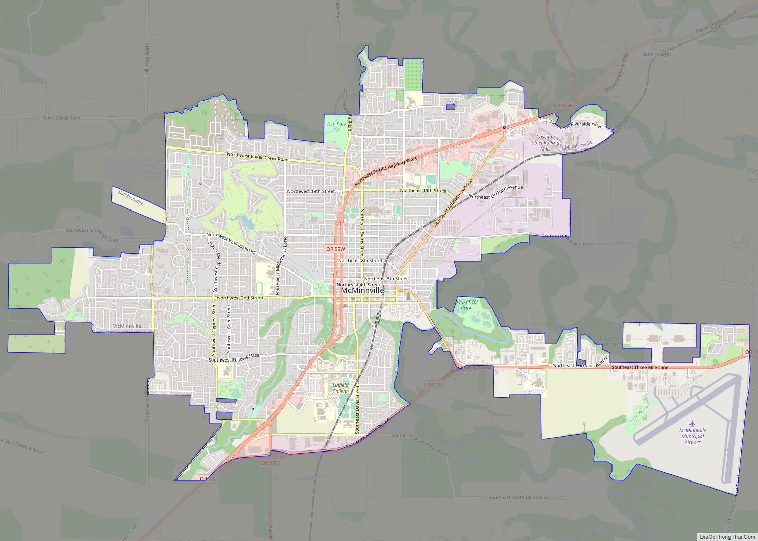
Online Interactive Map
Click on ![]() to view map in "full screen" mode.
to view map in "full screen" mode.
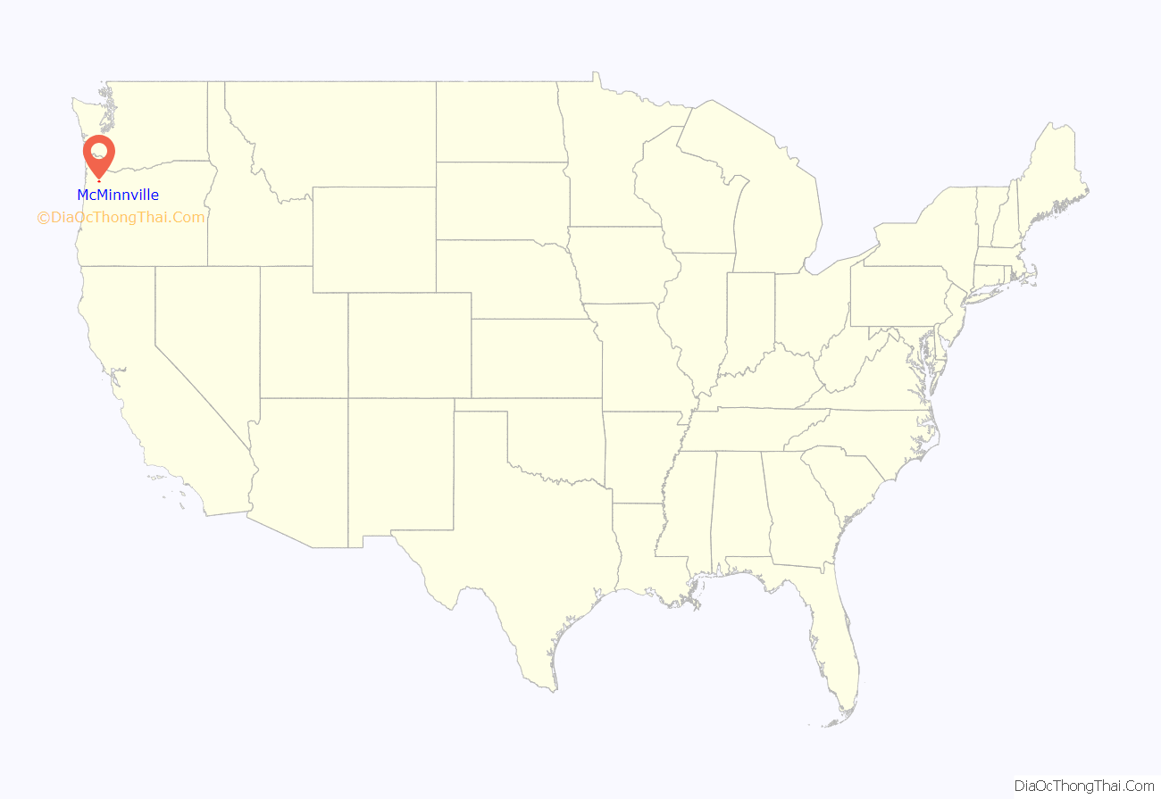
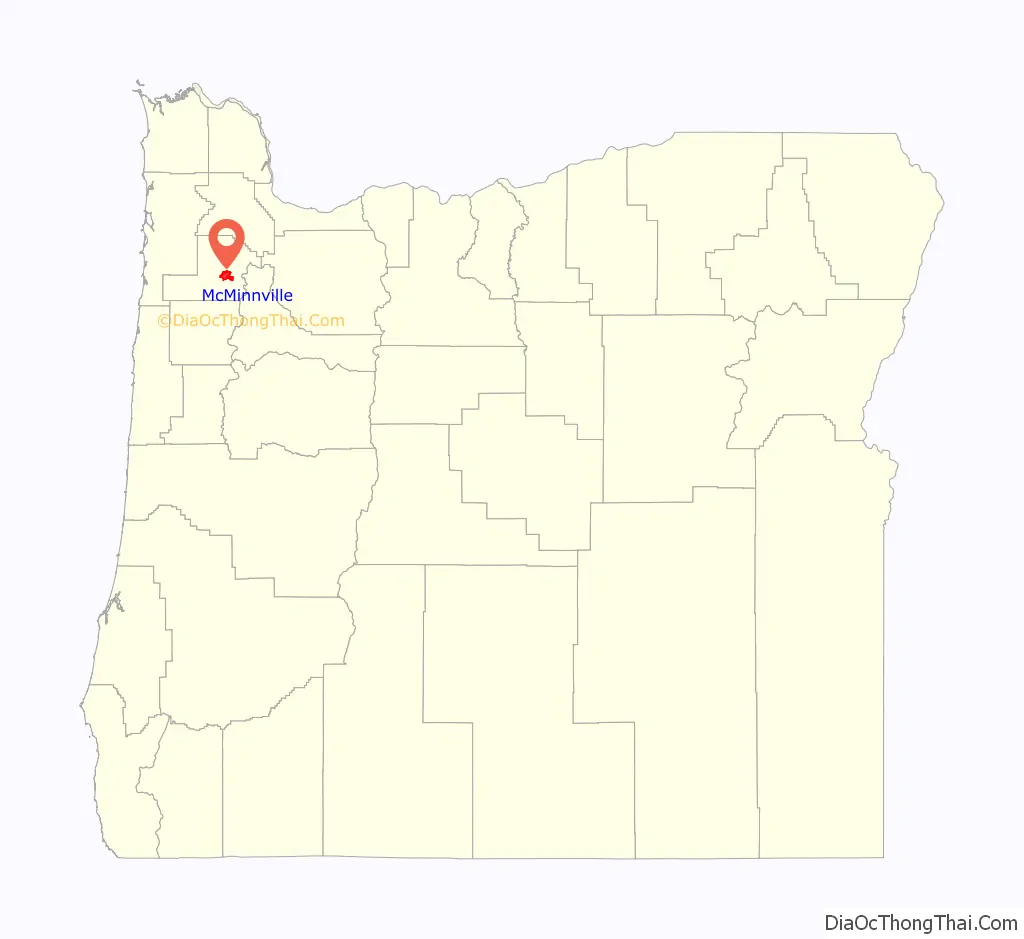
McMinnville location map. Where is McMinnville city?
History
Town founder William T. Newby joined the Great Migration of 1843, of people from the eastern states to the west. He later claimed land in 1844 on the present site of McMinnville in what was known as the Oregon Country. He built a grist mill in 1853 at what would become the west end of Third Street. On May 5, 1856, Newby platted a town and named it after his hometown of McMinnville, Tennessee. Newby later made a substantial donation of land to support founding an institution of higher learning in the town. It was originally called McMinnville College but is known today as Linfield University.
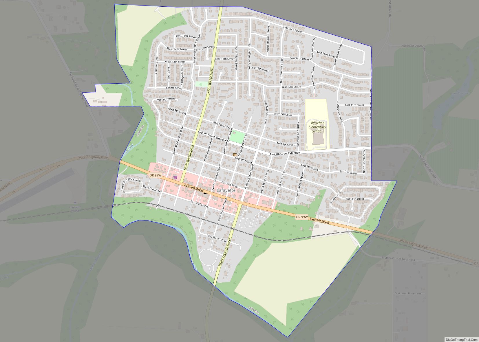
McMinnville was incorporated as a town in 1876 and became a city in 1882. County residents voted to move the county seat of Yamhill County from Lafayette to McMinnville in 1886.
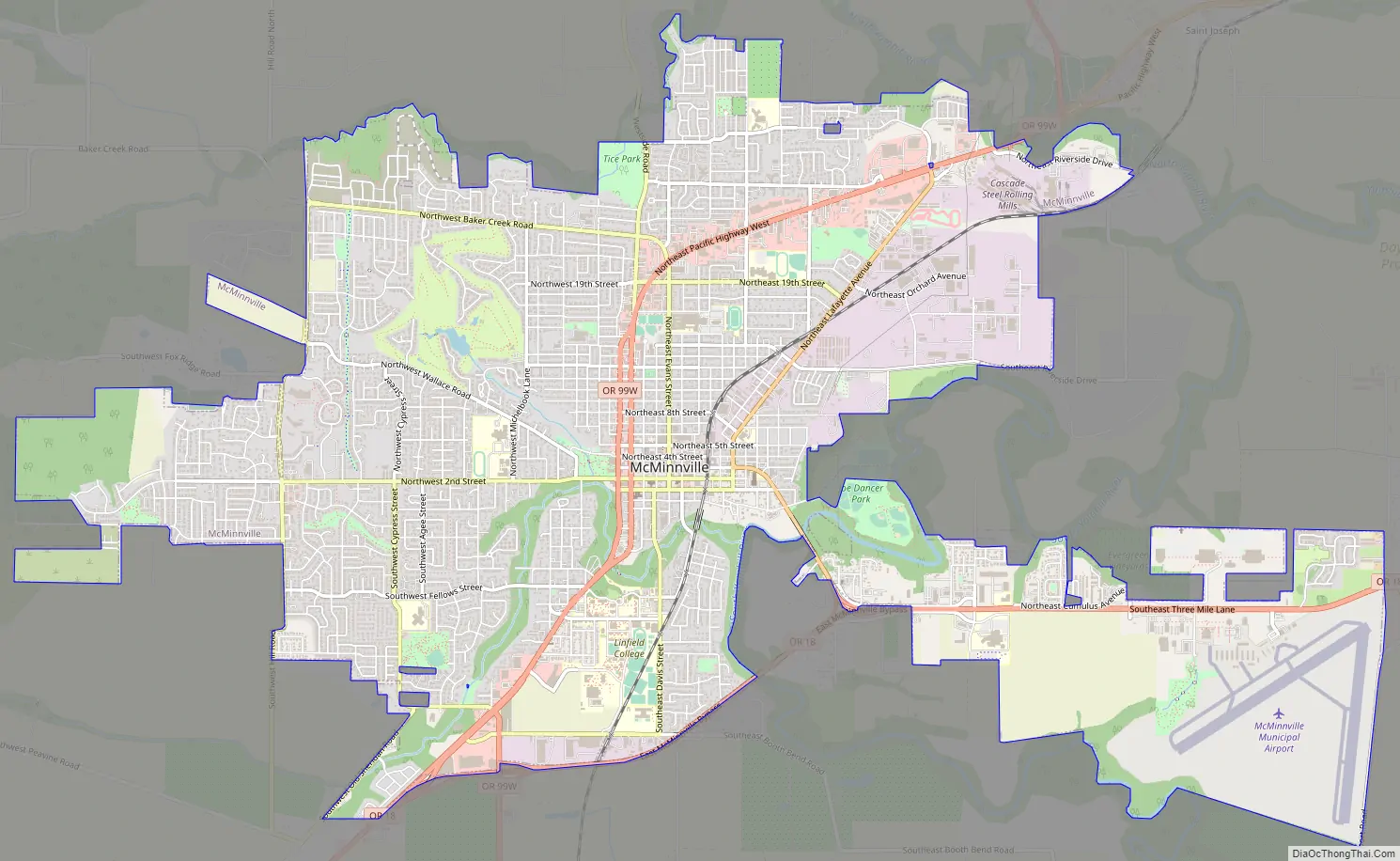
McMinnville Road Map
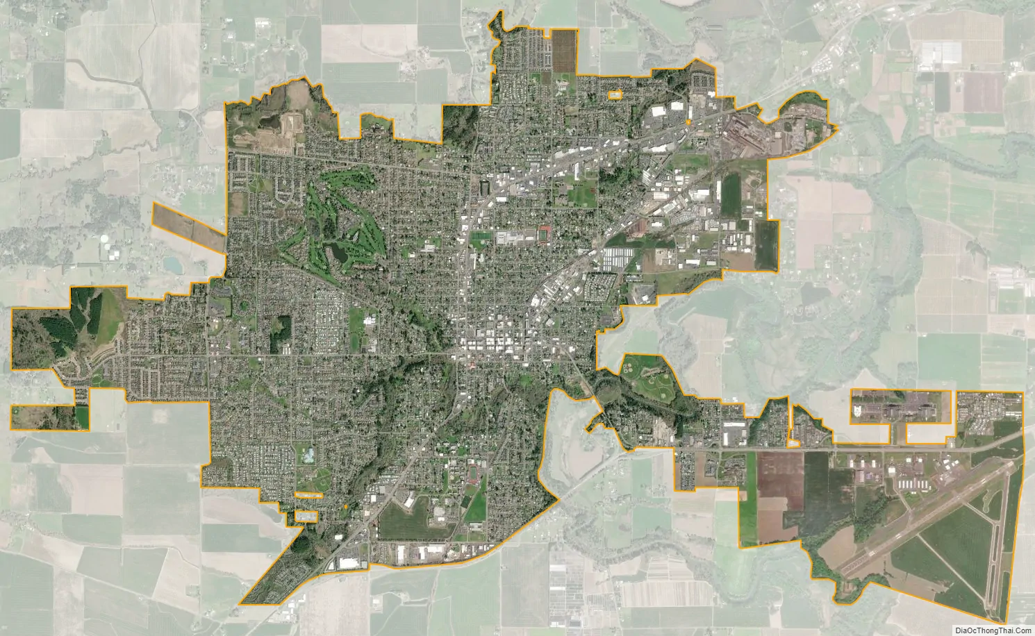
McMinnville city Satellite Map
Geography
McMinnville is 54 miles (87 km) from Lincoln City on the Pacific Ocean, 37 miles (60 km) from Portland, and 26 miles (42 km) from Salem, the state capital.
According to the United States Census Bureau, the city has an area of 10.58 square miles (27.40 km), all of it land.
Climate
This region experiences warm (but not hot) and dry summers, with no average monthly temperatures above 71.6 °F (22.0 °C). Just 43 miles from the Pacific Coastal community of Lincoln City, McMinnville will often see a Marine Layer offering cool foggy days. A warm summer day makes a quick beach trip an ideal feature of living in McMinnville. According to the Köppen Climate Classification system, McMinnville has a warm-summer Mediterranean climate, abbreviated “Csb” on climate maps. The normal monthly mean temperature ranges from 40.5 °F (4.7 °C) in December to 67.5 °F (19.7 °C) in August. Annual precipitation averages 37.64 inches (956 mm), with normal monthly precipitation peaking in November. The lowest temperature recorded is −7 °F (−22 °C) on January 31, 1950, while the highest is 114 °F (46 °C), most recently on June 28, 2021.
See also
Map of Oregon State and its subdivision: Map of other states:- Alabama
- Alaska
- Arizona
- Arkansas
- California
- Colorado
- Connecticut
- Delaware
- District of Columbia
- Florida
- Georgia
- Hawaii
- Idaho
- Illinois
- Indiana
- Iowa
- Kansas
- Kentucky
- Louisiana
- Maine
- Maryland
- Massachusetts
- Michigan
- Minnesota
- Mississippi
- Missouri
- Montana
- Nebraska
- Nevada
- New Hampshire
- New Jersey
- New Mexico
- New York
- North Carolina
- North Dakota
- Ohio
- Oklahoma
- Oregon
- Pennsylvania
- Rhode Island
- South Carolina
- South Dakota
- Tennessee
- Texas
- Utah
- Vermont
- Virginia
- Washington
- West Virginia
- Wisconsin
- Wyoming