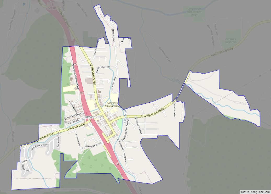
Canyonville is a city in Douglas County, Oregon, United States. The population was 1,884 at the 2010 census. The main regional tourist attraction, the Seven Feathers Casino Resort is in Canyonville.
| Name: | Canyonville city |
|---|---|
| LSAD Code: | 25 |
| LSAD Description: | city (suffix) |
| State: | Oregon |
| County: | Douglas County |
| Incorporated: | 1901 |
| Elevation: | 745 ft (227 m) |
| Total Area: | 1.06 sq mi (2.75 km²) |
| Land Area: | 1.06 sq mi (2.75 km²) |
| Water Area: | 0.00 sq mi (0.00 km²) |
| Total Population: | 1,640 |
| Population Density: | 1,542.80/sq mi (595.56/km²) |
| ZIP code: | 97417 |
| Area code: | 541 |
| FIPS code: | 4111000 |
| GNISfeature ID: | 2409980 |
| Website: | www.cityofcanyonville.com |
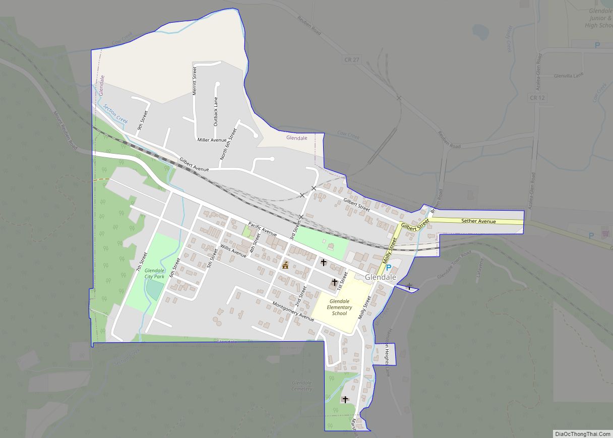
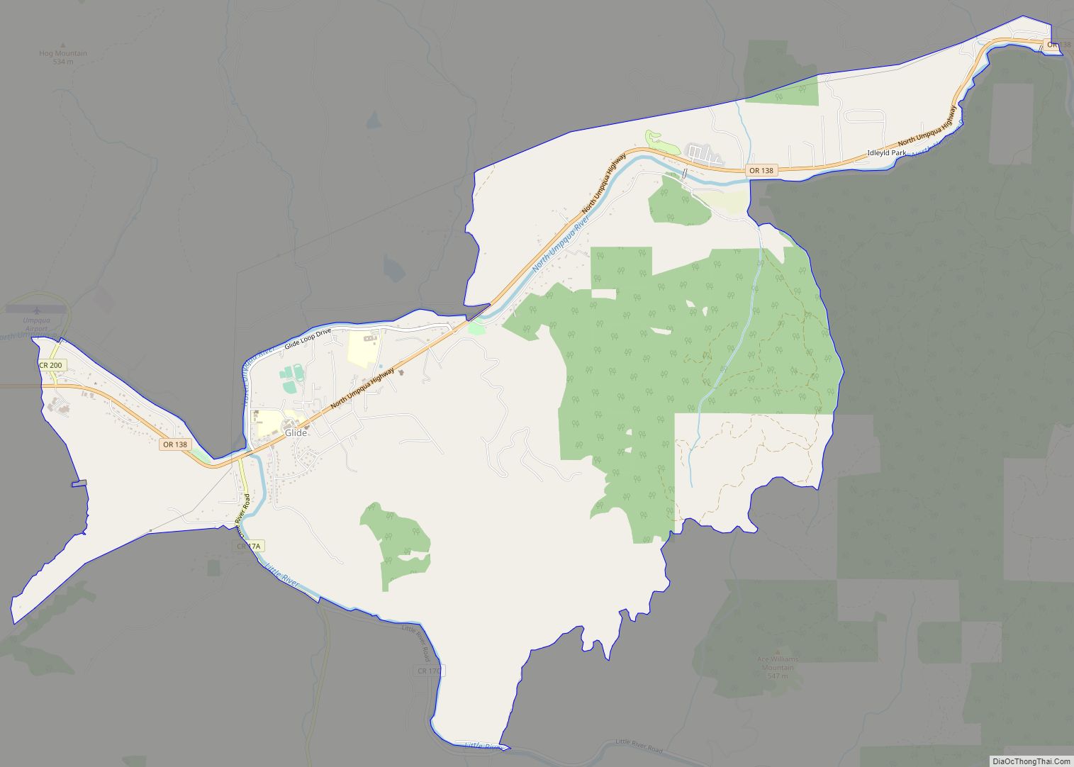
Online Interactive Map
Click on ![]() to view map in "full screen" mode.
to view map in "full screen" mode.
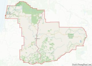
Canyonville location map. Where is Canyonville city?
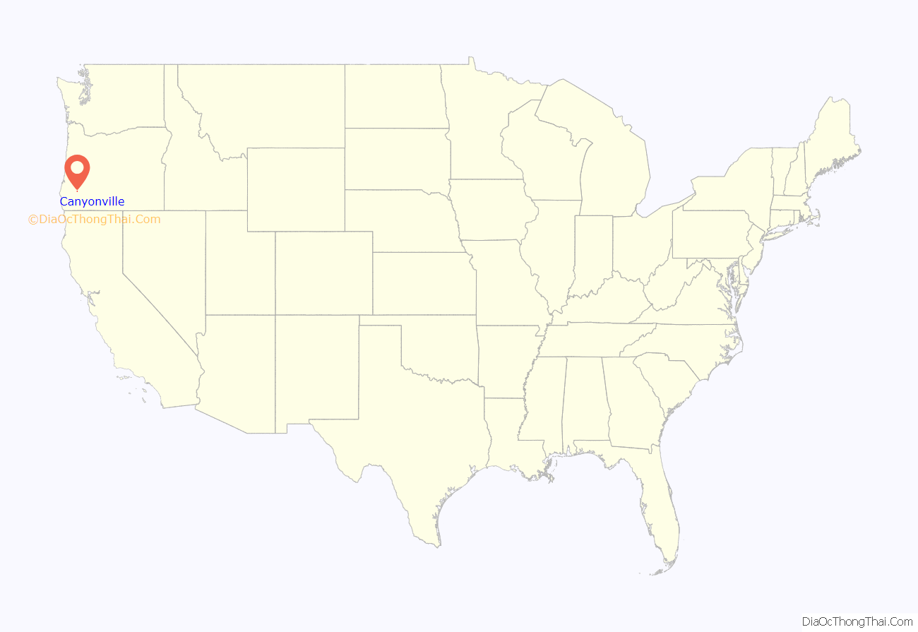
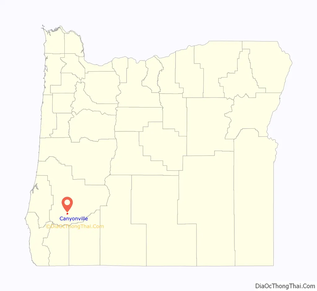
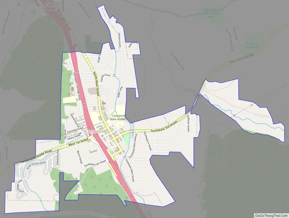
Canyonville Road Map
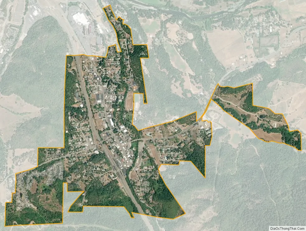
Canyonville city Satellite Map
Geography
The city lies along Interstate 5 about 100 miles (160 km) north of the Oregon–California border and about 200 miles (320 km) south of Portland, Oregon. Canyon Creek flows through Canyonville, where it joins the South Umpqua River.
According to the United States Census Bureau, the city has a total area of 0.97 square miles (2.51 km), all of it land.
Climate
Canyonville is classified as having a Mediterranean climate (Köppen Csb), with some characteristics of an oceanic climate (Cfb) due to its cool temperatures. Winters are cool, gray and rainy, while summers are warm and dry.
See also
Map of Oregon State and its subdivision: Map of other states:- Alabama
- Alaska
- Arizona
- Arkansas
- California
- Colorado
- Connecticut
- Delaware
- District of Columbia
- Florida
- Georgia
- Hawaii
- Idaho
- Illinois
- Indiana
- Iowa
- Kansas
- Kentucky
- Louisiana
- Maine
- Maryland
- Massachusetts
- Michigan
- Minnesota
- Mississippi
- Missouri
- Montana
- Nebraska
- Nevada
- New Hampshire
- New Jersey
- New Mexico
- New York
- North Carolina
- North Dakota
- Ohio
- Oklahoma
- Oregon
- Pennsylvania
- Rhode Island
- South Carolina
- South Dakota
- Tennessee
- Texas
- Utah
- Vermont
- Virginia
- Washington
- West Virginia
- Wisconsin
- Wyoming