Carlton is a city in Yamhill County, Oregon, United States. The population was 2,135 as of the 2020 Census.
| Name: | Carlton city |
|---|---|
| LSAD Code: | 25 |
| LSAD Description: | city (suffix) |
| State: | Oregon |
| County: | Yamhill County |
| Incorporated: | 1899 |
| Elevation: | 198 ft (60.35 m) |
| Total Area: | 0.88 sq mi (2.29 km²) |
| Land Area: | 0.88 sq mi (2.29 km²) |
| Water Area: | 0.00 sq mi (0.00 km²) |
| Total Population: | 2,220 |
| Population Density: | 2,514.16/sq mi (970.93/km²) |
| ZIP code: | 97111 |
| Area code: | 503 |
| FIPS code: | 4111150 |
| GNISfeature ID: | 1162876 |
| Website: | www.ci.carlton.or.us |
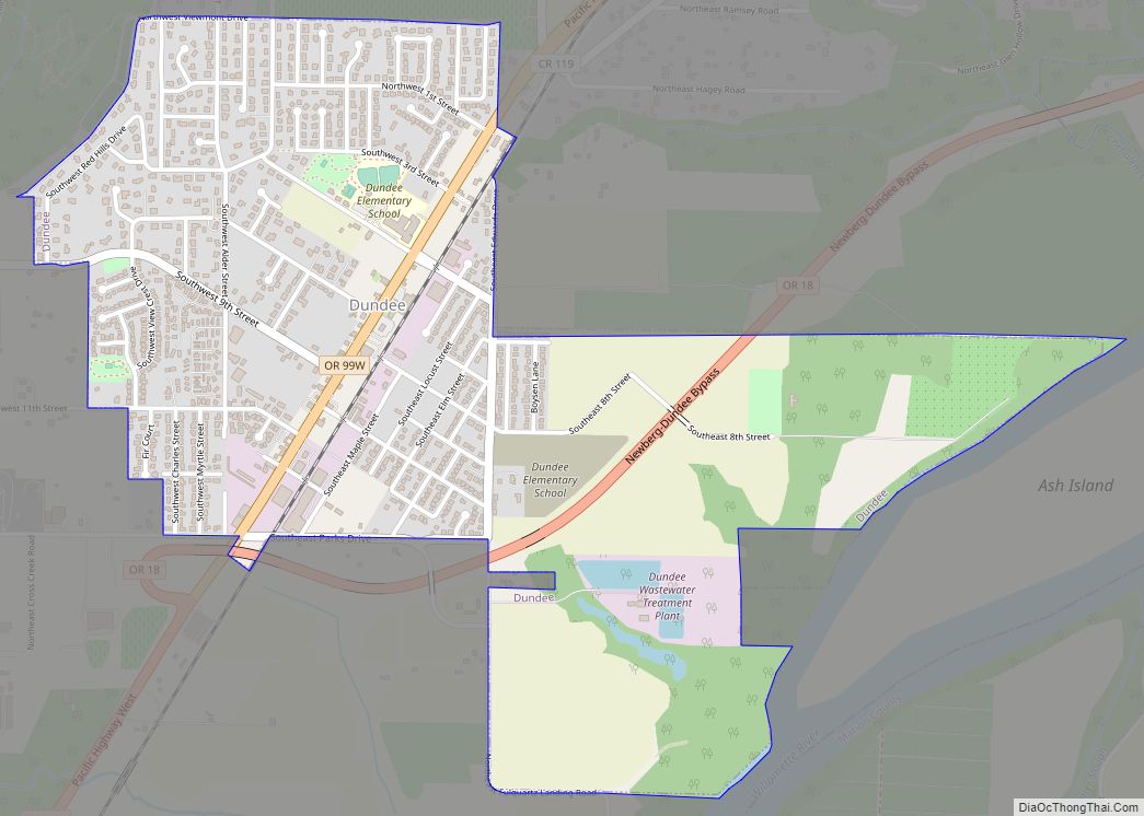
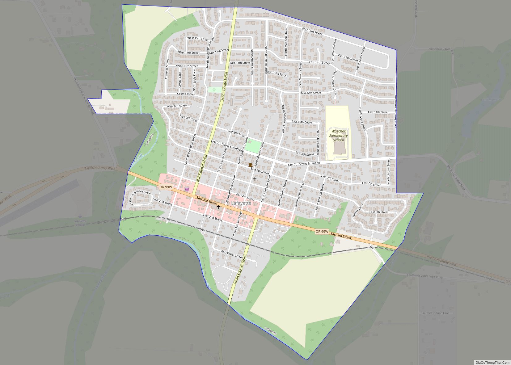
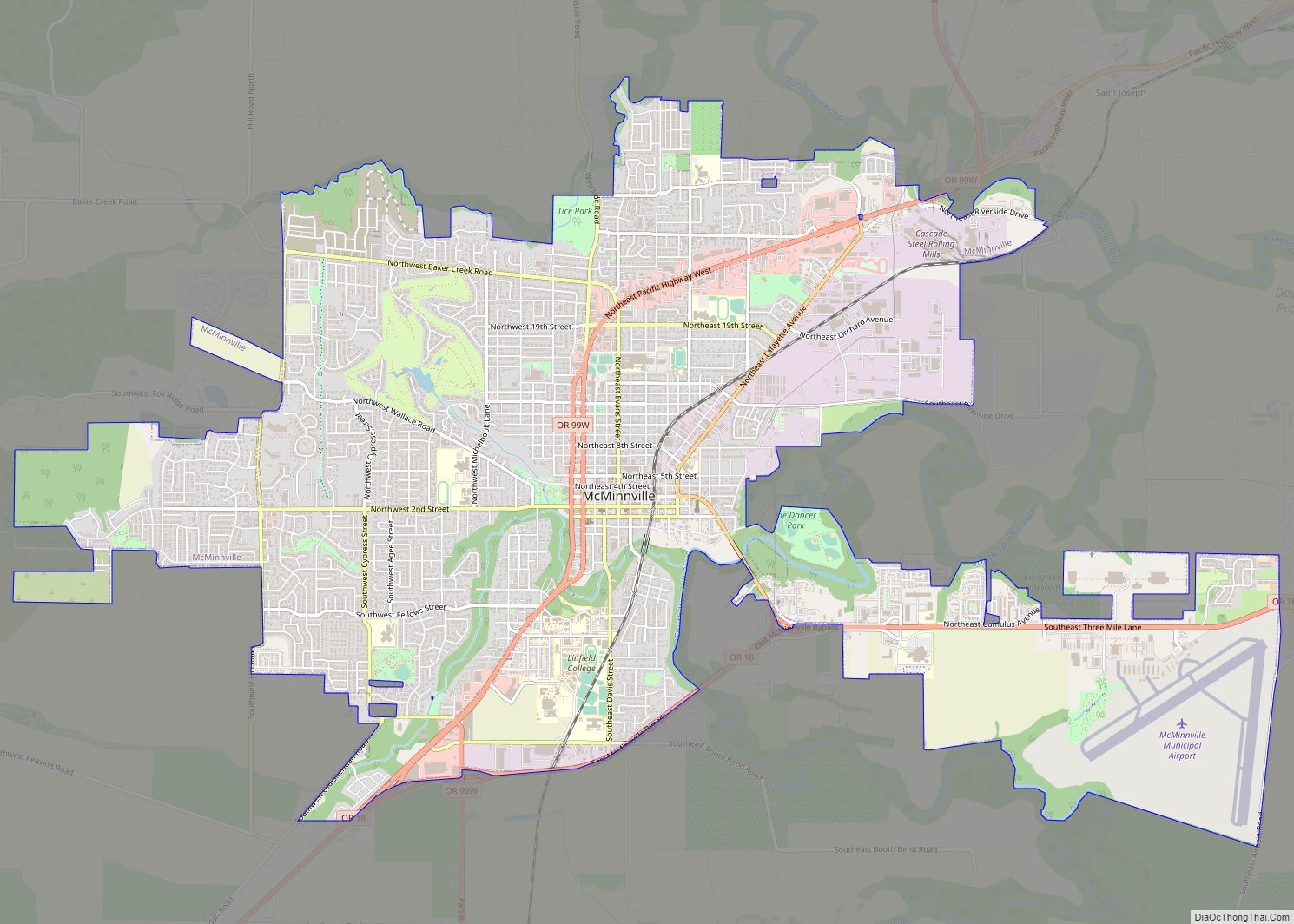
Online Interactive Map
Click on ![]() to view map in "full screen" mode.
to view map in "full screen" mode.
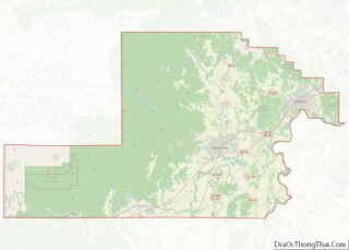
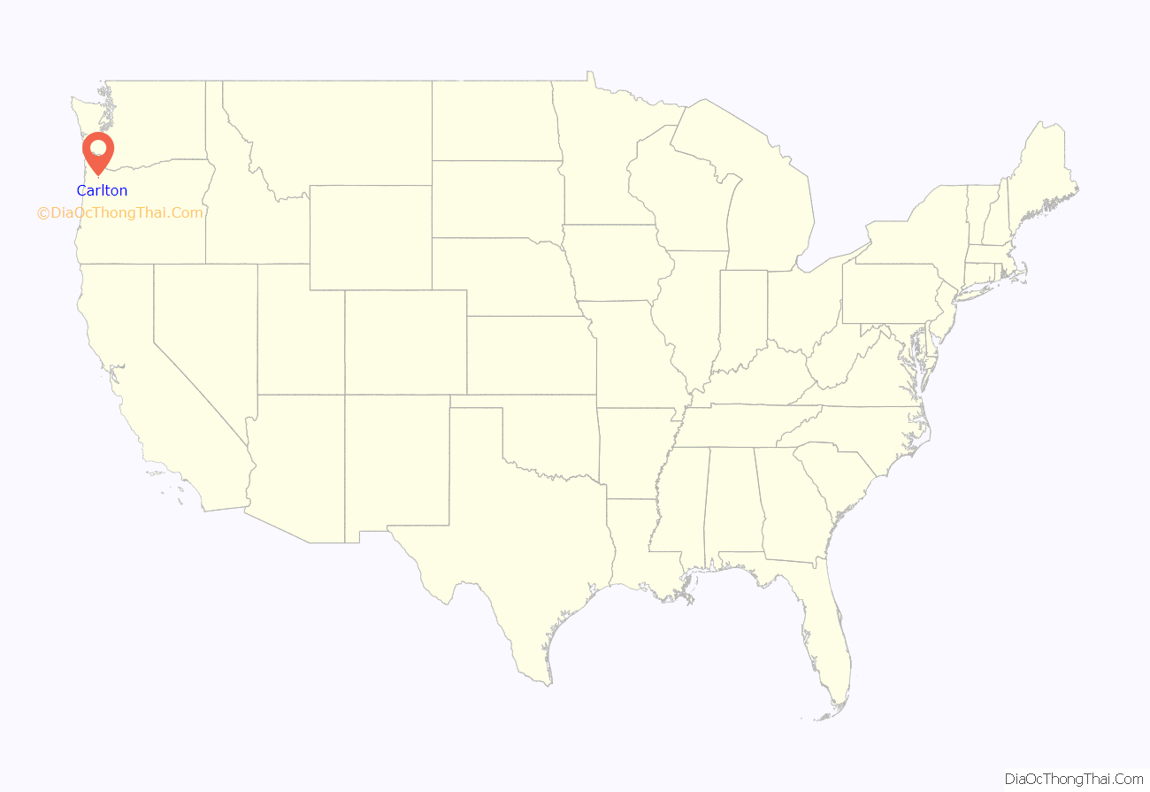
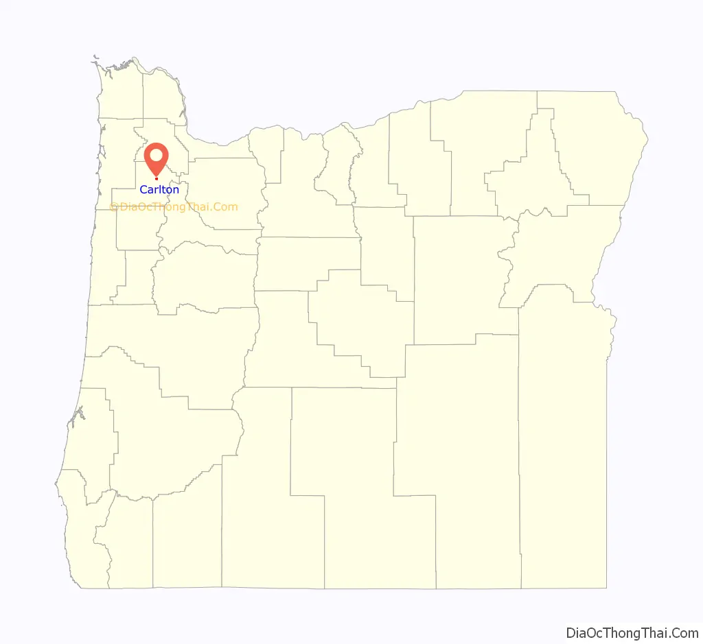
Carlton location map. Where is Carlton city?
History
The origin of Carlton’s name is disputed. An ex-county commissioner claims that the name was derived from Wilson Carl, whereas A. E. Bones, postmaster at Carlton, stated in a 1925 letter that it was named for John Carl, Sr., at the request of R. R. Thompson. These men may have been part of the same family.
Carlton post office was established in 1874, with F. J. Fryer serving as its first postmaster.
Actual history of Carlton, Oregon: Prior to the post office inside the city of Carlton, Wilson Carl owned the original Post Office, Stagecoach stop, and Blacksmith shop for the area, about 7 miles West of Carlton, and his home was known as Mountain House. Wilson Carl was the original postmaster. Wilson Carl traveled with Dr. Joel Knight on the Oregon Trail to the area, as witnessed in the diary of Amelia Stewart Knight. Wilson Carl negotiated with the railroad in Portland, Oregon, to build closer to his property. Since the original plot was over the mountain West of Carlton, it was a matter of convenience for the railroad to build where it presently is, because negotiating the mountain was not feasible. The population of Carlton expanded to become the city of Carlton, around the railroad. The city is named after Wilson Carl, and was originally called Carl’s town. A few other variations of his name were used before the name became Carlton. Wilson Carl began as a pioneer carpenter/builder and shoemaker who became a wealthy land owner, who built a portion of what is now Linfield College, in McMinnville, and was founder of the Republican Party in McMinnville, County Commissioner, and, at one time owned the property that the Yamhill County Courthouse presently sits on. The original post office still exists on his original homestead and plot of land, though it has since been used as a residence for his heirs and is currently unoccupied. There is further information about the name variations used for Carlton, in a former Oregon Blue Book.
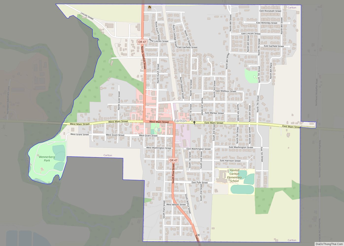
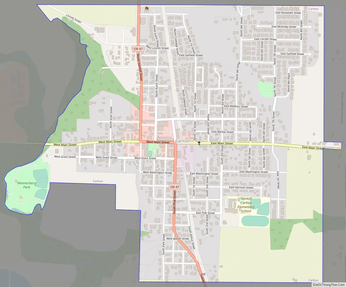
Carlton Road Map
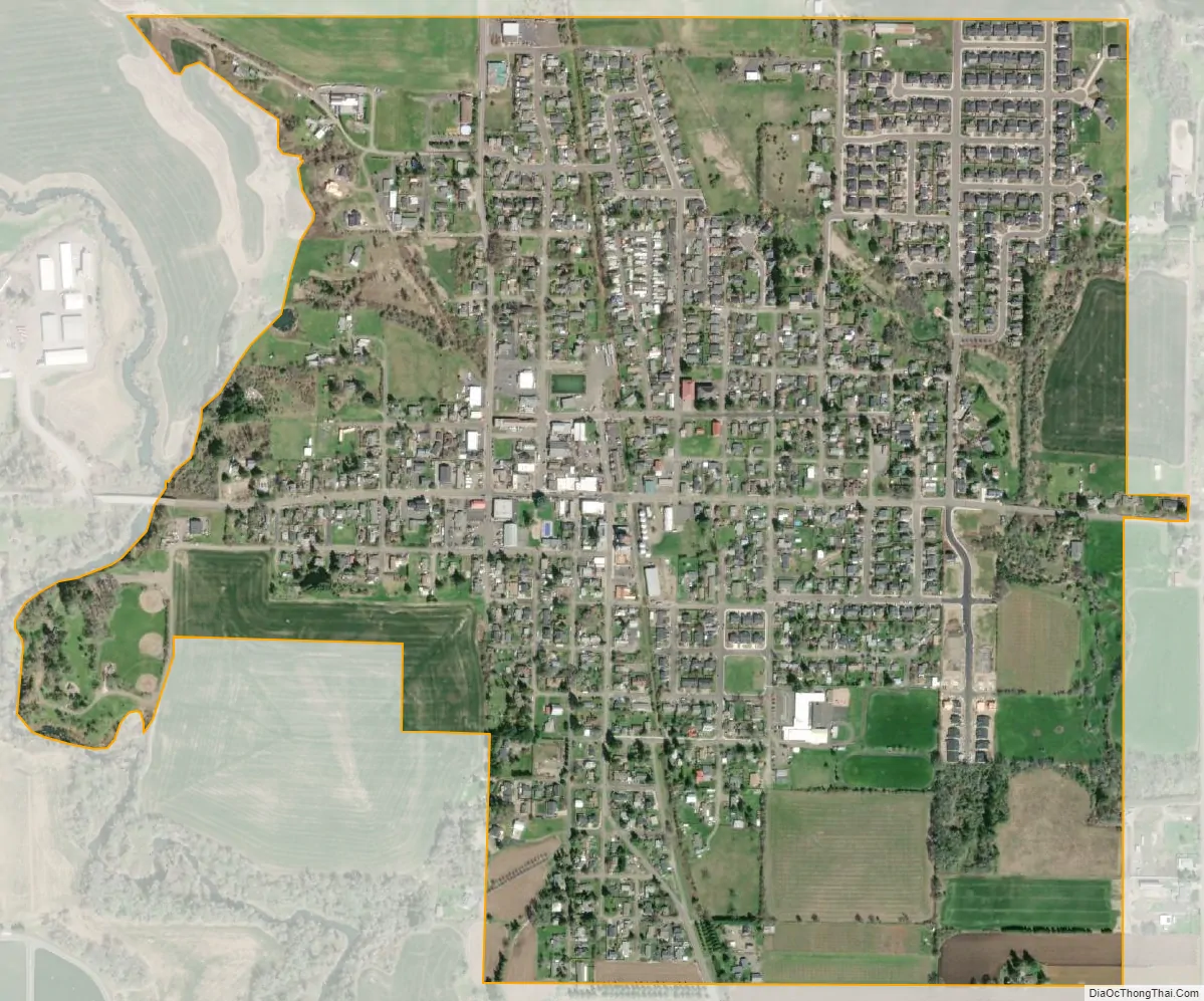
Carlton city Satellite Map
Geography
According to the United States Census Bureau, the city has a total area of 0.88 square miles (2.28 km), all of it land.
See also
Map of Oregon State and its subdivision: Map of other states:- Alabama
- Alaska
- Arizona
- Arkansas
- California
- Colorado
- Connecticut
- Delaware
- District of Columbia
- Florida
- Georgia
- Hawaii
- Idaho
- Illinois
- Indiana
- Iowa
- Kansas
- Kentucky
- Louisiana
- Maine
- Maryland
- Massachusetts
- Michigan
- Minnesota
- Mississippi
- Missouri
- Montana
- Nebraska
- Nevada
- New Hampshire
- New Jersey
- New Mexico
- New York
- North Carolina
- North Dakota
- Ohio
- Oklahoma
- Oregon
- Pennsylvania
- Rhode Island
- South Carolina
- South Dakota
- Tennessee
- Texas
- Utah
- Vermont
- Virginia
- Washington
- West Virginia
- Wisconsin
- Wyoming