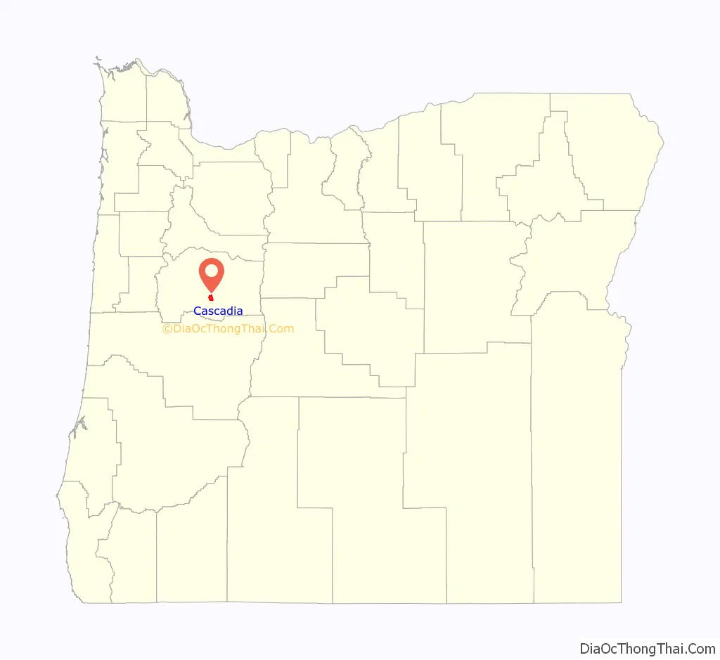
Cascadia is an unincorporated community and census-designated place (CDP) that was established in 1892 on the South Santiam River, 14 miles (23 km) east of the current city of Sweet Home, in Linn County, Oregon, United States. As of the 2010 census it had a population of 147.
Originally a stage stop on the Santiam Wagon Road, then a summer resort also known as Cascadia Mineral Springs, Cascadia had a post office established in 1898. It maintains a ZIP code of 97329. The resort had a hotel established by George Geisendorfer, who was also the first postmaster. People were attracted to Cascadia because of its mineral spring water. The property was sold to the state in 1940 and now is the site of the 300-acre (1.2 km) Cascadia State Park.
| Name: | Cascadia CDP |
|---|---|
| LSAD Code: | 57 |
| LSAD Description: | CDP (suffix) |
| State: | Oregon |
| County: | Linn County |
| Elevation: | 840 ft (260 m) |
| Total Area: | 5.02 sq mi (13.00 km²) |
| Land Area: | 5.02 sq mi (13.00 km²) |
| Water Area: | 0.00 sq mi (0.00 km²) |
| Total Population: | 134 |
| Population Density: | 26.70/sq mi (10.31/km²) |
| ZIP code: | 97329, 97345 |
| FIPS code: | 4111700 |
| GNISfeature ID: | 1139425 |
Online Interactive Map
Click on ![]() to view map in "full screen" mode.
to view map in "full screen" mode.
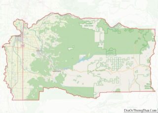
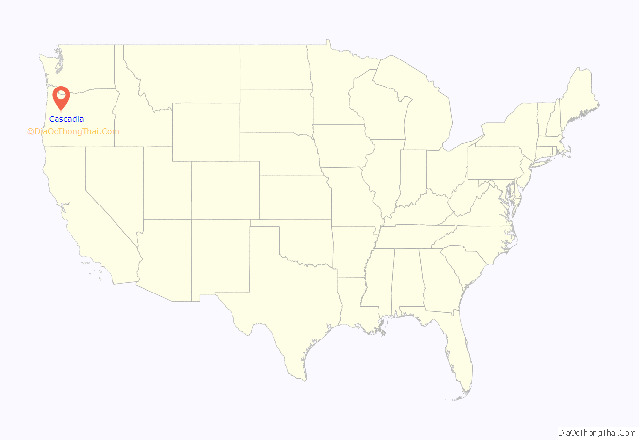
Cascadia location map. Where is Cascadia CDP?
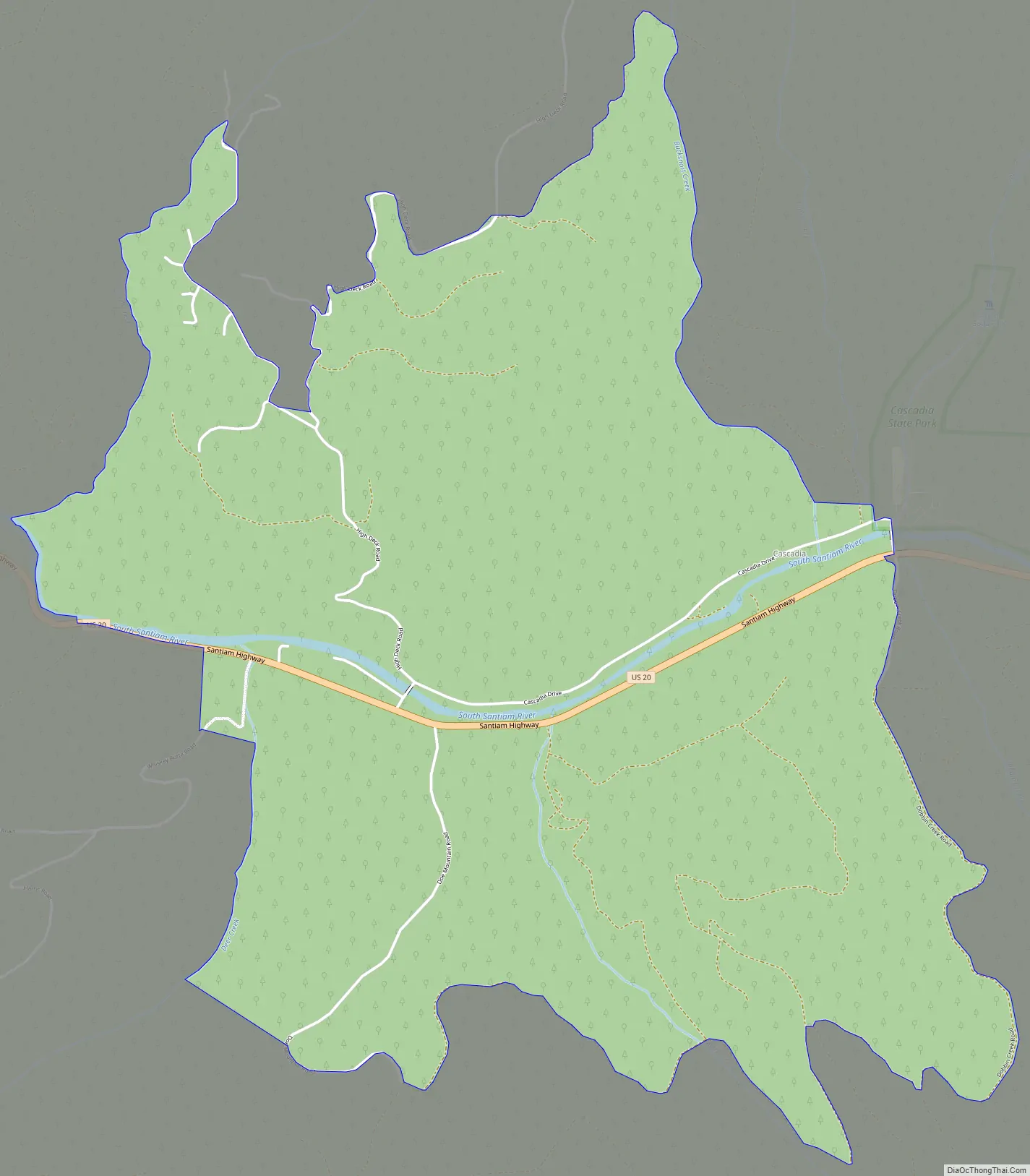
Cascadia Road Map
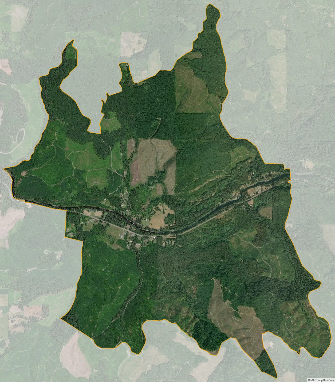
Cascadia city Satellite Map
See also
Map of Oregon State and its subdivision: Map of other states:- Alabama
- Alaska
- Arizona
- Arkansas
- California
- Colorado
- Connecticut
- Delaware
- District of Columbia
- Florida
- Georgia
- Hawaii
- Idaho
- Illinois
- Indiana
- Iowa
- Kansas
- Kentucky
- Louisiana
- Maine
- Maryland
- Massachusetts
- Michigan
- Minnesota
- Mississippi
- Missouri
- Montana
- Nebraska
- Nevada
- New Hampshire
- New Jersey
- New Mexico
- New York
- North Carolina
- North Dakota
- Ohio
- Oklahoma
- Oregon
- Pennsylvania
- Rhode Island
- South Carolina
- South Dakota
- Tennessee
- Texas
- Utah
- Vermont
- Virginia
- Washington
- West Virginia
- Wisconsin
- Wyoming