Cave Junction is a city in Josephine County, Oregon, United States. As of the 2020 census, the city population was 1,995. Its motto is the “Gateway to the Oregon Caves”, and the city got its name by virtue of its location at the junction of Redwood Highway (U.S. Route 199) and Caves Highway (Oregon Route 46). Cave Junction is located in the Illinois Valley, where, starting in the 1850s, the non-native economy depended on gold mining. After World War II, timber became the main source of income for residents. As timber income has since declined, Cave Junction is attempting to compensate with tourism and as a haven for retirees. Tourists visit the Oregon Caves National Monument and Preserve, which includes the Oregon Caves Chateau, as well as the Out’n’About treehouse resort and the Great Cats World Park zoo.
| Name: | Cave Junction city |
|---|---|
| LSAD Code: | 25 |
| LSAD Description: | city (suffix) |
| State: | Oregon |
| County: | Josephine County |
| Incorporated: | 1948 |
| Elevation: | 1,575 ft (480 m) |
| Total Area: | 1.81 sq mi (4.70 km²) |
| Land Area: | 1.81 sq mi (4.68 km²) |
| Water Area: | 0.01 sq mi (0.01 km²) |
| Total Population: | 2,071 |
| Population Density: | 1,144.83/sq mi (442.13/km²) |
| ZIP code: | 97523, 97531 |
| Area code: | 458 and 541 |
| FIPS code: | 4111850 |
| GNISfeature ID: | 1139474 |
| Website: | www.cavejunctionoregon.us |
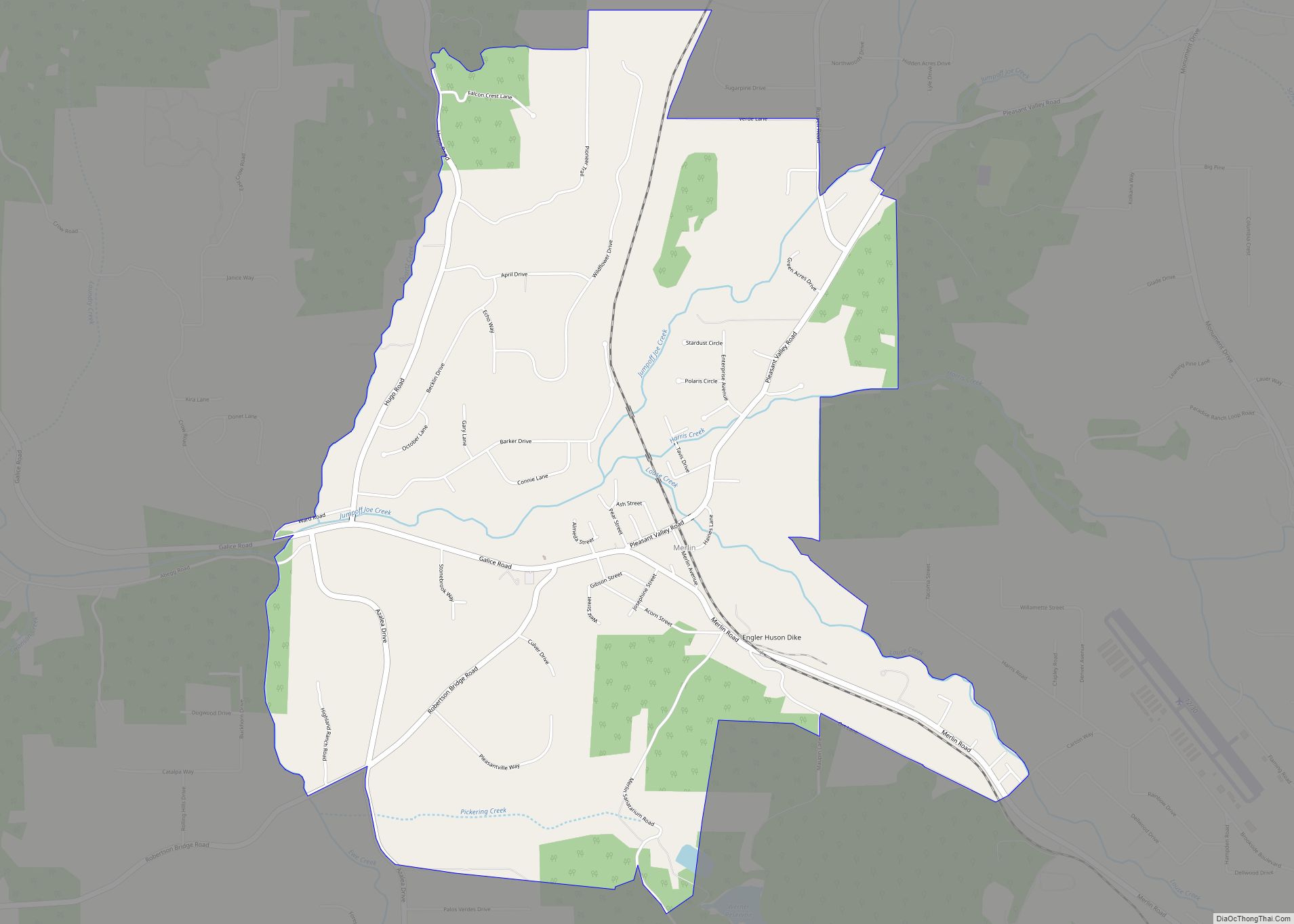
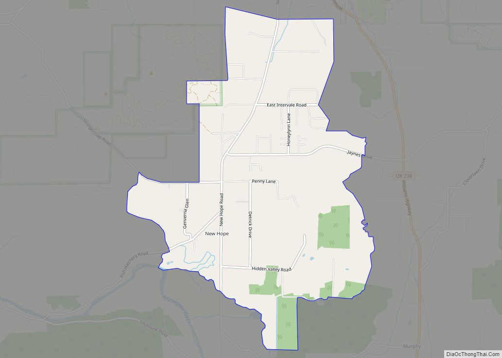
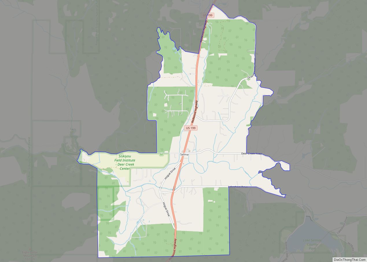
Online Interactive Map
Click on ![]() to view map in "full screen" mode.
to view map in "full screen" mode.
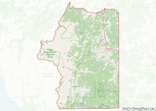
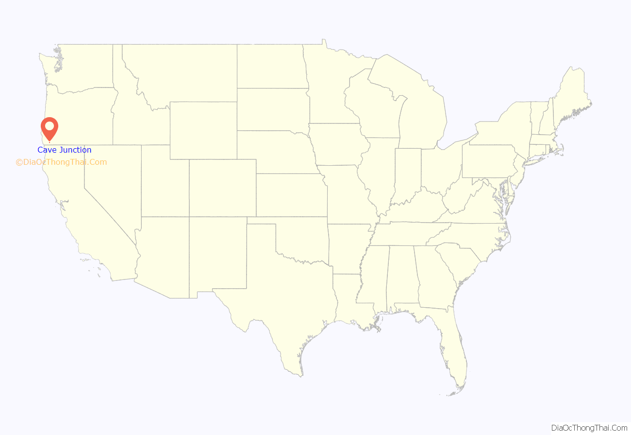
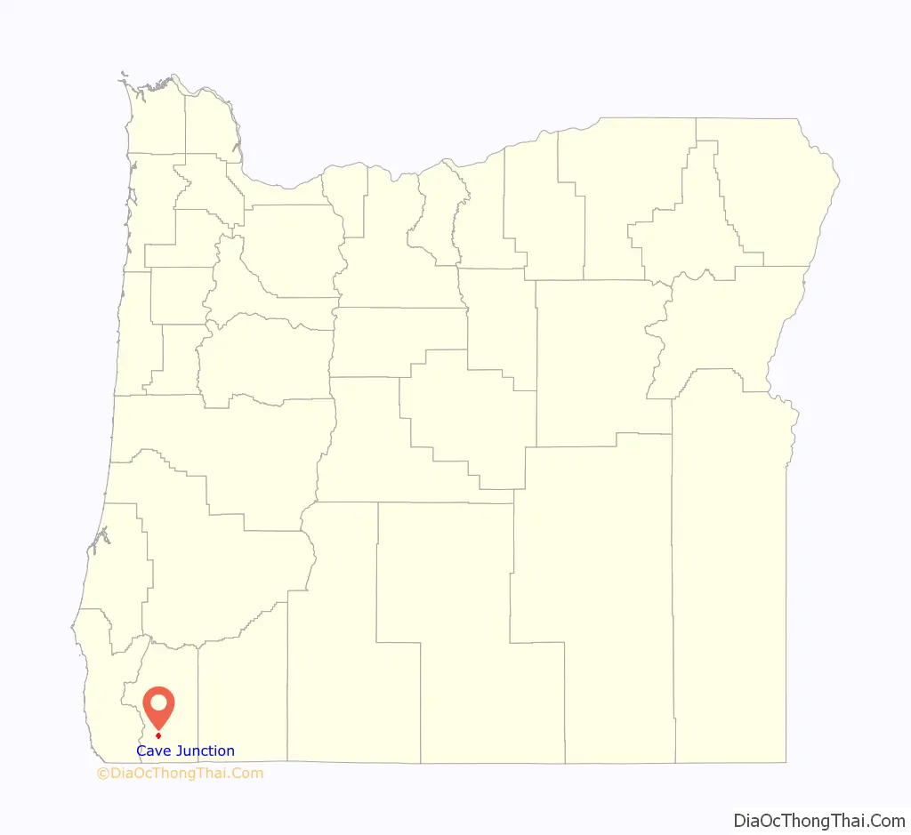
Cave Junction location map. Where is Cave Junction city?
History
For thousands of years, the Takelma Indians inhabited the Illinois Valley. Their culture was destroyed when gold was discovered in the early 1850s, causing the subsequent Rogue River Wars. After an 1853 treaty, most of the Takelmas lived on the Table Rock Reservation. In 1856, after the wars ended, they were forcibly removed to the Grand Ronde Reservation and the Siletz Reservation.
The first gold in Oregon history was found in the Illinois Valley, as well as the largest gold nugget (17 lb or 7.7 kg). In 1904, more than 50 years after prospectors had started combing the valley for gold, an 18-year-old named Ray Briggs discovered what newspapers at the time called “the most wonderful gold discovery ever reported in Oregon history.” While hunting along Sucker Creek, he discovered gold lying on the ground. He staked a claim and called it the “Wounded Buck Mine,” which produced 1,777 ounces (50.4 kg) of gold. The “mine” was a small vein of gold 12 to 14 inches (30 to 36 cm) wide, 12 feet (3.7 m) long and 7 feet (2.1 m) deep.
As gold mining in the Illinois Valley became exhausted in the 1860s and 1870s, the residents diversified into ranching, fishing, logging, tourism and agriculture. In 1874, Elijah Davidson found a cave while on a hunting trip, and is now credited with discovering the Oregon Caves. In 1884, Walter C. Burch heard about the cave from Davidson, and staked a squatter’s claim at the mouth of the caves. He and his brothers-in-law charged one dollar for a guided tour. According to their advertisement in the Grants Pass Courier, this included camping, plentiful pasture land and “medicinal” cave waters. They attempted to acquire title to the land, but as the land was unsurveyed, they abandoned the idea a few years later.
President William Howard Taft established the 480-acre (190 ha) Oregon Caves National Monument on July 12, 1909, to be administered by the U.S. Forest Service. In 1923, the Forest Service subcontracted the building of a hotel and guide services to a group of Grants Pass businessmen. By 1926, the monument had a chalet and seven two-bedroom cabins. Traffic into the caves led to a community developing at the junction of the Redwood Highway and the branch highway to the caves (now known as Oregon Route 46). Cave Junction, originally known as Cave City, was established in 1926 on land donated by Elwood Hussey. In 1935, a post office was applied for and was named “Caves City”, however postal authorities disapproved of the name, partly because “City” implied the place was incorporated. Among the other names suggested was “Cave Junction”, which was adopted by the United States Board on Geographic Names in 1936 with the post office being renamed the same year. The locality was incorporated as Cave Junction in 1948, and is the only incorporated area in the Illinois Valley.
In 1950 Cave Junction had a population of 283, which decreased to 248 in 1960 and increased to 415 in 1970. Its growth was fast in the 1960s, increasing at an average of 6.8 percent annually. The city population’s primary growth period occurred in the 1970s, with an average annual increase of 9.9 percent. Growth slowed in the 1980s when the population increase averaged only 1.7 percent annually. The rate fell further between 1990 and 1998, averaging 1.6 percent, which was less than the state and county averages.
Forest fires
A number of wildfires have threatened Cave Junction over the years. The Longwood Fire in 1987, part of the 150,000-acre (61,000 ha) Silver Fire complex, was ignited by lightning strikes following a three-year drought. Numerous residents of Cave Junction evacuated.
In 2002, the Florence and Sour Biscuit fires converged, creating the Biscuit Fire. This fire threatened Cave Junction, Kerby, Selma and a number of Northern California communities. Ultimately, the Biscuit Fire lasted 120 days, burned 499,965 acres (202,329 ha) in southern Oregon and northern California, and destroyed four homes and nine outbuildings in the Cave Junction area. In 2003, a wildfire destroyed a home in Cave Junction. In 2004, a downed power line caused a fire that briefly threatened over 100 homes and forced 200 people to evacuate. One person died, apparently of stress related to the fire.
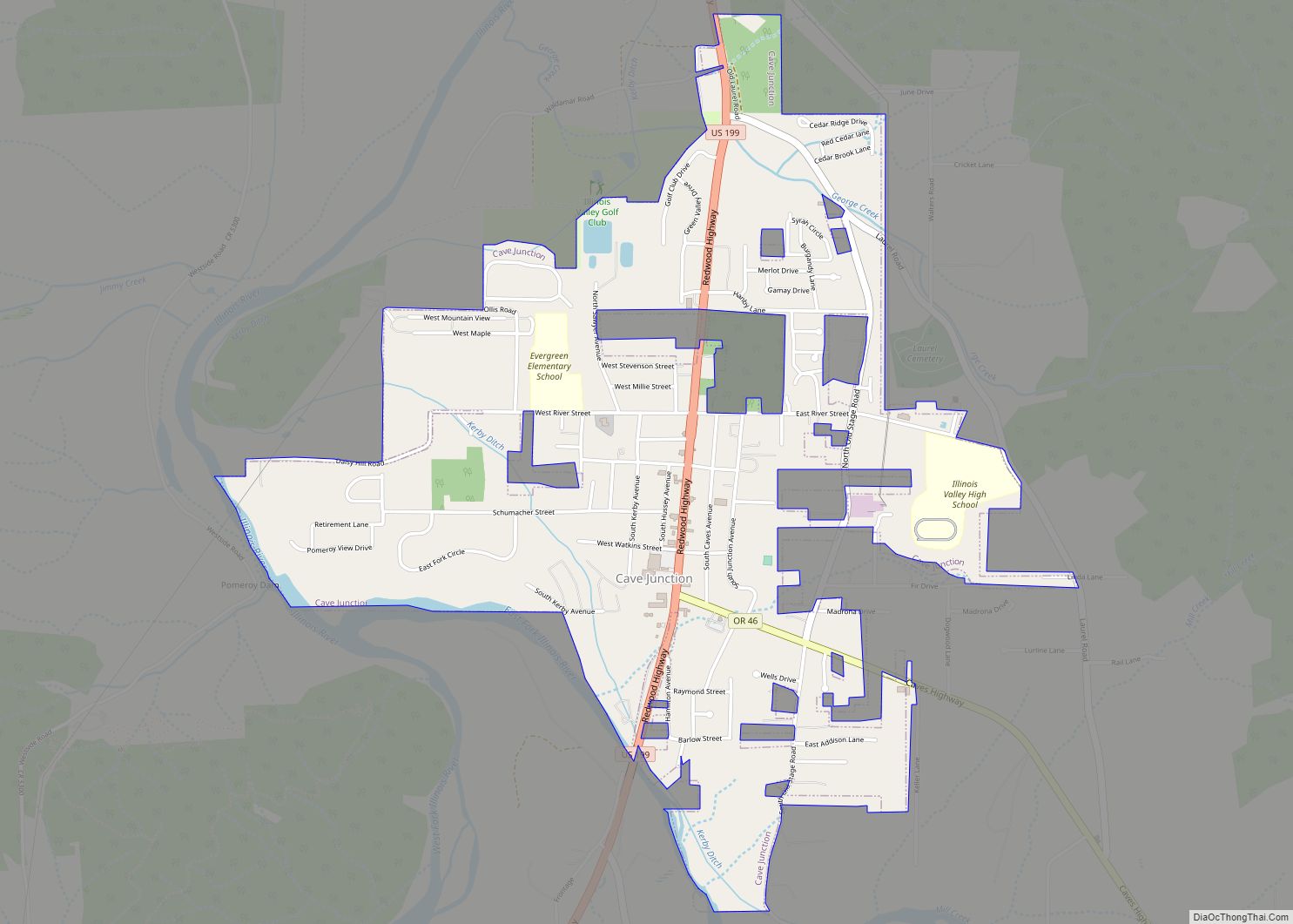
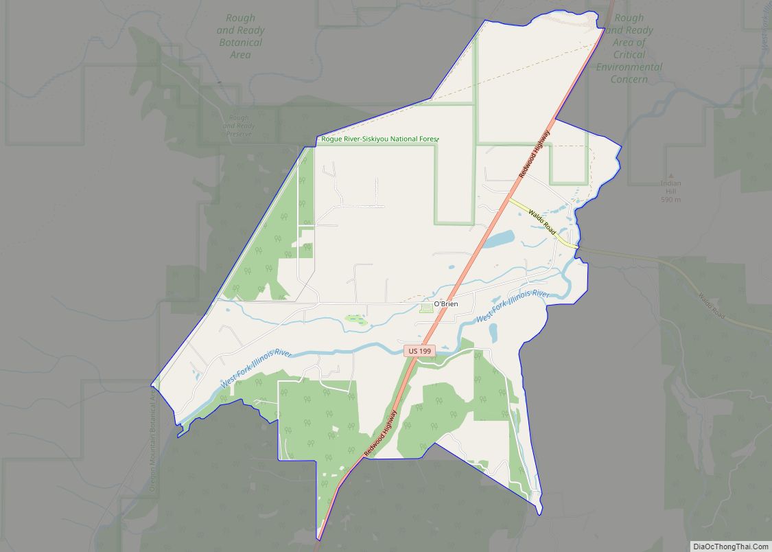
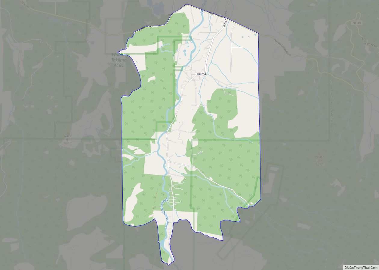
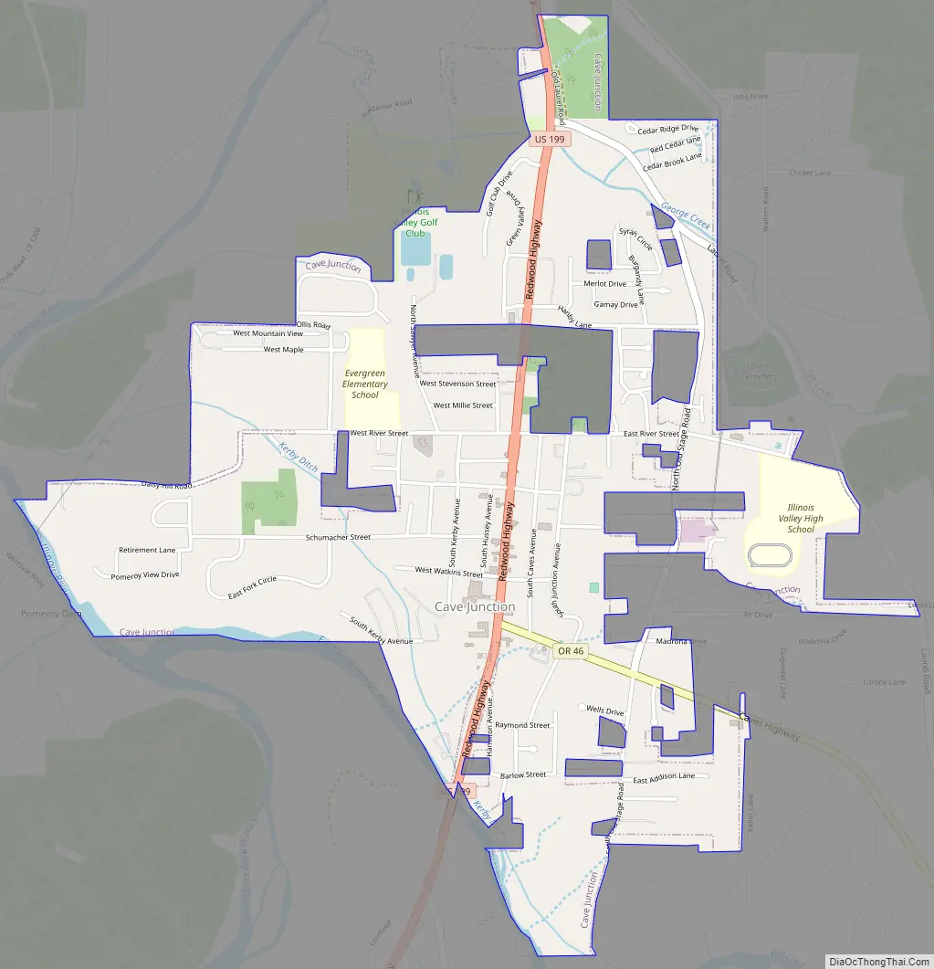
Cave Junction Road Map
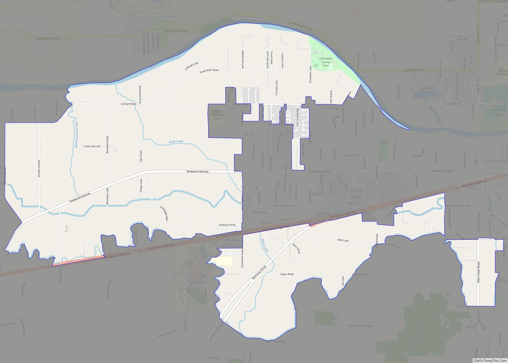
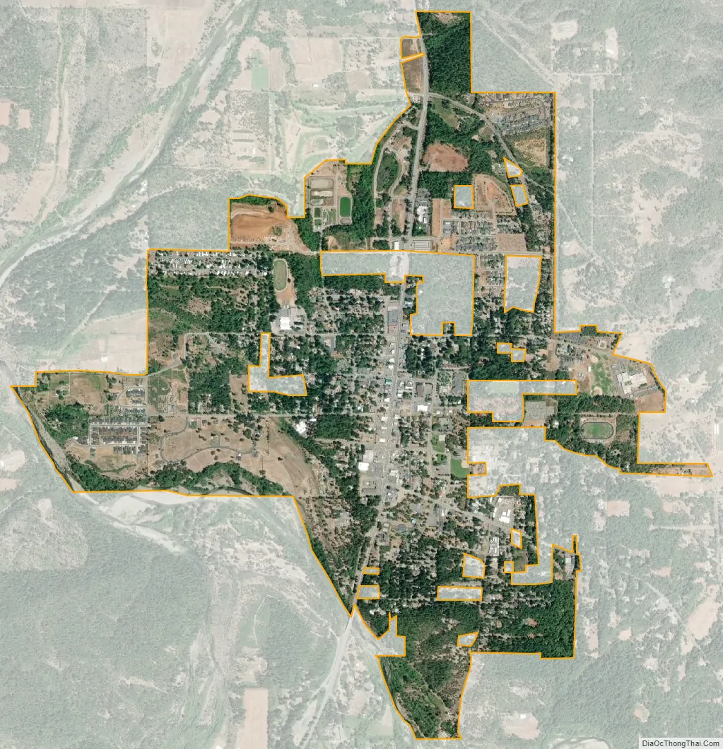
Cave Junction city Satellite Map
Geography
Cave Junction is located on U.S. Route 199 at its junction with Oregon Route 46. It is about 30 miles or 48 kilometres southwest of Grants Pass, Oregon and 53 miles or 85 kilometres northeast of Crescent City, California. The city lies in the Illinois Valley, on the northwest slope of the Siskiyou Range, at an elevation of about 480 metres (1,570 ft) above MSL. According to the United States Census Bureau, the city has a total area of 1.82 square miles (4.71 km), of which, 1.81 square miles (4.69 km) is land and 0.01 square miles (0.03 km) is water.
Climate
Cave Junction has a Mediterranean climate (Köppen Csb) with summers featuring cool mornings and hot afternoons, and chilly, rainy winters.
Cave Junction has an average low of 32.5 °F or 0.3 °C in January and high of 94.2 °F or 34.6 °C in July. The record hottest temperature is 114 °F (45.6 °C) on August 14, 2008; however, the hottest morning on record is a mere 69 °F (20.6 °C) on July 21, 1994 and July 3, 2013. The coldest temperature is −6 °F (−21.1 °C) on December 10, 1972, and the only other mornings below 0 °F or −17.8 °C were on the adjacent mornings of December 8 and 10 that year. Only sixteen afternoons have ever failed to top freezing; the coldest afternoon being 21 °F (−6.1 °C) on the same day as the record cold minimum. The coldest month since 1962 has been December 2013 which averaged 32.9 °F (0.5 °C) and had a mean maximum of only 40.6 °F (4.8 °C).
On average, there are 196 sunny days, and 108 days with precipitation. The city receives an average of 61.19 inches or 1,554.2 millimetres of rain each year. The wettest “rain year” has been from July 1973 to June 1974 with 103.21 inches (2,621.5 mm), and the driest from July 1976 to June 1977 with 24.87 inches (631.7 mm). The wettest month has been December 1996 with 35.29 inches (896.4 mm), and the wettest day December 22, 1964 with 8.12 inches (206.2 mm).
Snowfall averages 7.1 inches or 0.18 metres; the most snowfall in one month has been 60.0 inches (1.52 m) in January 1982 and the most in one season 83.9 inches (2.13 m) from July 1981 to June 1982. The most snowfall in one day has been 25.0 inches or 0.64 metres on January 3 and again on January 18 of 1982.
See also
Map of Oregon State and its subdivision: Map of other states:- Alabama
- Alaska
- Arizona
- Arkansas
- California
- Colorado
- Connecticut
- Delaware
- District of Columbia
- Florida
- Georgia
- Hawaii
- Idaho
- Illinois
- Indiana
- Iowa
- Kansas
- Kentucky
- Louisiana
- Maine
- Maryland
- Massachusetts
- Michigan
- Minnesota
- Mississippi
- Missouri
- Montana
- Nebraska
- Nevada
- New Hampshire
- New Jersey
- New Mexico
- New York
- North Carolina
- North Dakota
- Ohio
- Oklahoma
- Oregon
- Pennsylvania
- Rhode Island
- South Carolina
- South Dakota
- Tennessee
- Texas
- Utah
- Vermont
- Virginia
- Washington
- West Virginia
- Wisconsin
- Wyoming