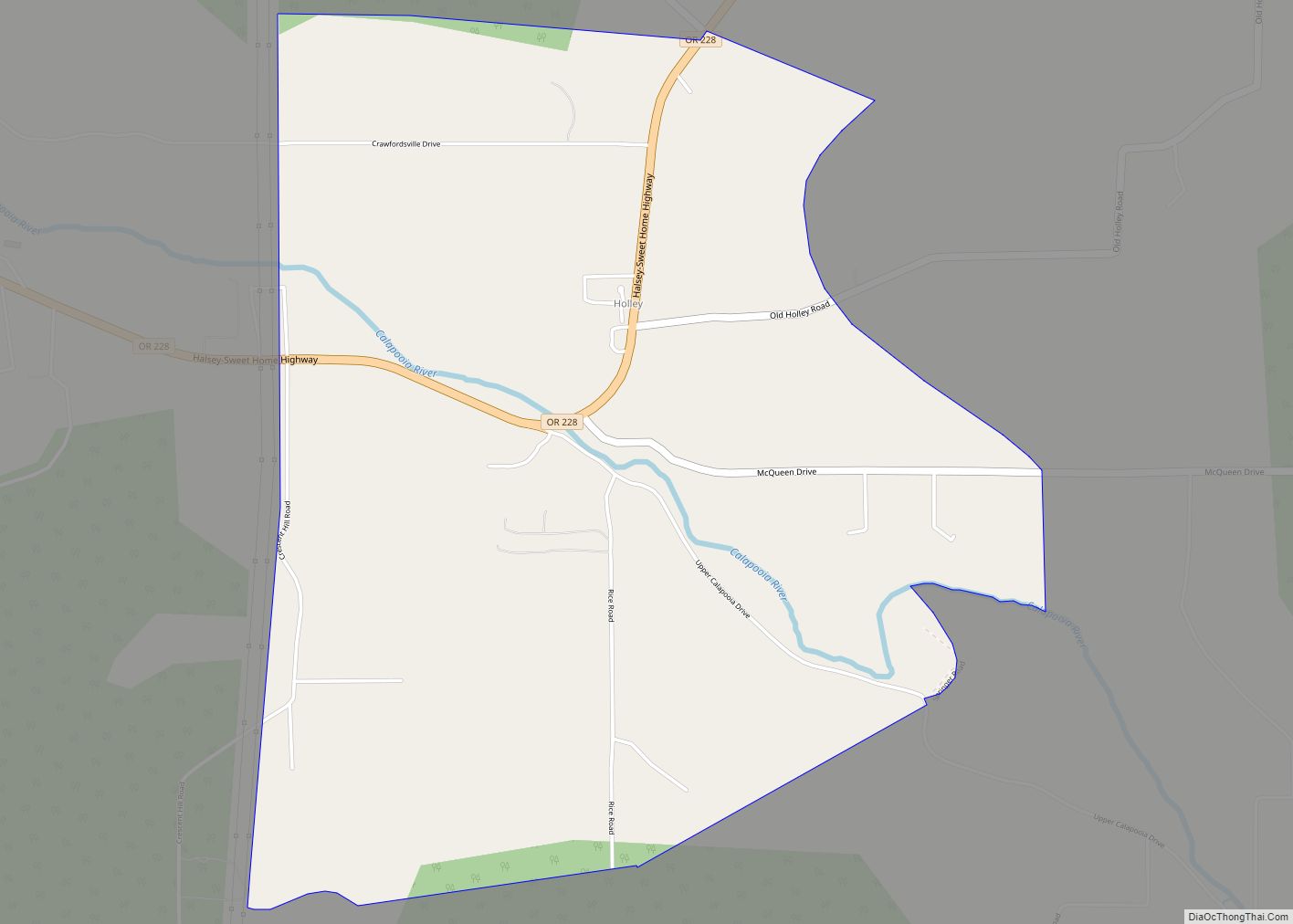
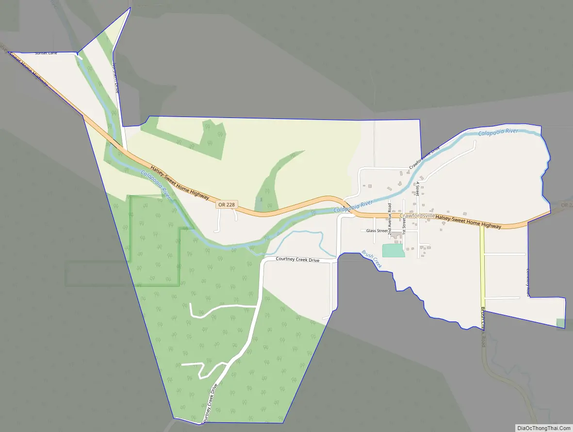
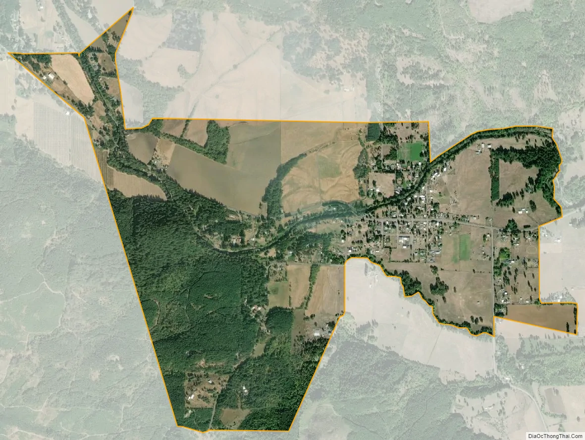
Crawfordsville is a census-designated place and unincorporated community in Linn County, Oregon, United States. As of the 2010 census it had a population of 332. It is located about 7 miles (11 km) southeast of Brownsville and 8 miles (13 km) southwest of Sweet Home on Oregon Route 228, near the Calapooia River. It has a post office with a ZIP code of 97336.
| Name: | Crawfordsville CDP |
|---|---|
| LSAD Code: | 57 |
| LSAD Description: | CDP (suffix) |
| State: | Oregon |
| County: | Linn County |
| Founded: | 1870 |
| Elevation: | 443 ft (135 m) |
| Total Area: | 1.92 sq mi (4.98 km²) |
| Land Area: | 1.92 sq mi (4.98 km²) |
| Water Area: | 0.00 sq mi (0.00 km²) |
| Total Population: | 315 |
| Population Density: | 163.89/sq mi (63.28/km²) |
| ZIP code: | 97336 |
| FIPS code: | 4116650 |
| GNISfeature ID: | 1119522 |
Online Interactive Map
Click on ![]() to view map in "full screen" mode.
to view map in "full screen" mode.
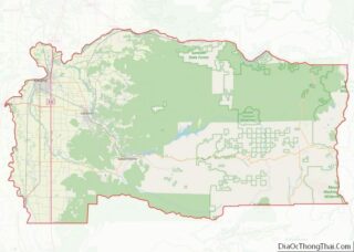
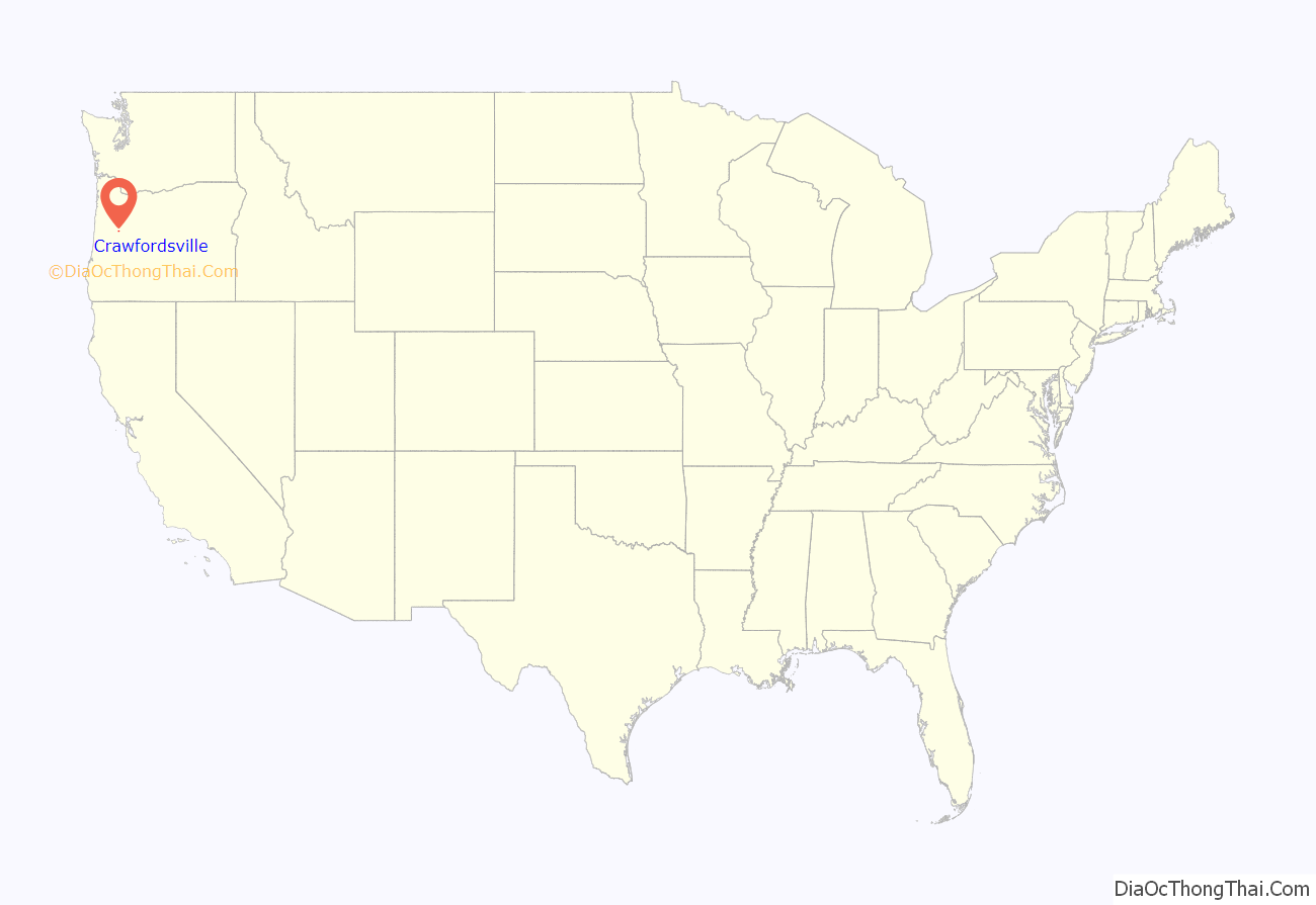
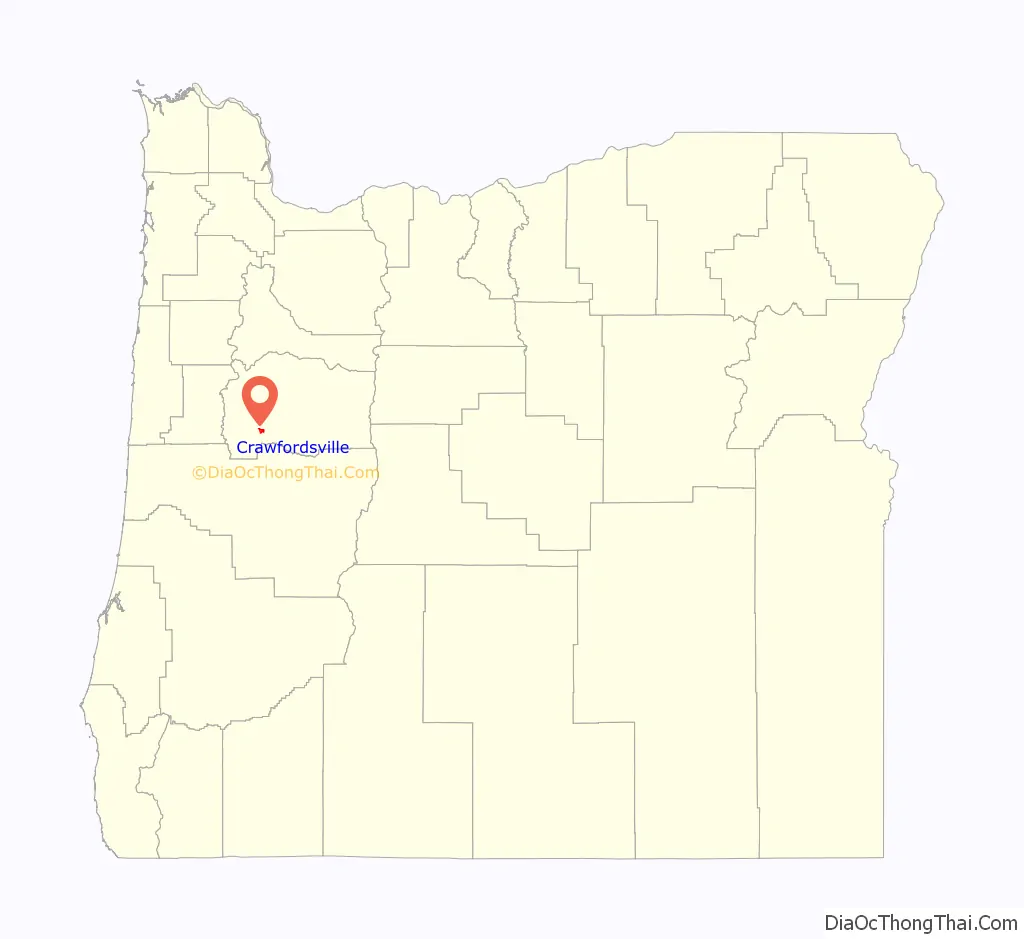
Crawfordsville location map. Where is Crawfordsville CDP?
History
Crawfordsville was founded on the land of Philemon Vawter Crawford in 1870 by Crawford and Robert Glass. When the post office was established in 1870, it was named for Crawford. Crawford was born in Madison, Indiana, in 1814 and he arrived in Oregon via the Oregon Trail in 1851. His son, Jasper V. Crawford, was the first postmaster. Philemon Crawford had previously helped establish the Boston Flour Mill near Shedd.
In 1915 Crawfordsville had a population of 300, two sawmills, a flouring mill, a high school, an elementary school, and three churches.
In the early 20th century, Crawfordsville had a population of Sikhs from Pakistan and India who worked for the Calapooya Lumber Company.
Crawfordsville Road Map
Crawfordsville city Satellite Map
See also
Map of Oregon State and its subdivision: Map of other states:- Alabama
- Alaska
- Arizona
- Arkansas
- California
- Colorado
- Connecticut
- Delaware
- District of Columbia
- Florida
- Georgia
- Hawaii
- Idaho
- Illinois
- Indiana
- Iowa
- Kansas
- Kentucky
- Louisiana
- Maine
- Maryland
- Massachusetts
- Michigan
- Minnesota
- Mississippi
- Missouri
- Montana
- Nebraska
- Nevada
- New Hampshire
- New Jersey
- New Mexico
- New York
- North Carolina
- North Dakota
- Ohio
- Oklahoma
- Oregon
- Pennsylvania
- Rhode Island
- South Carolina
- South Dakota
- Tennessee
- Texas
- Utah
- Vermont
- Virginia
- Washington
- West Virginia
- Wisconsin
- Wyoming