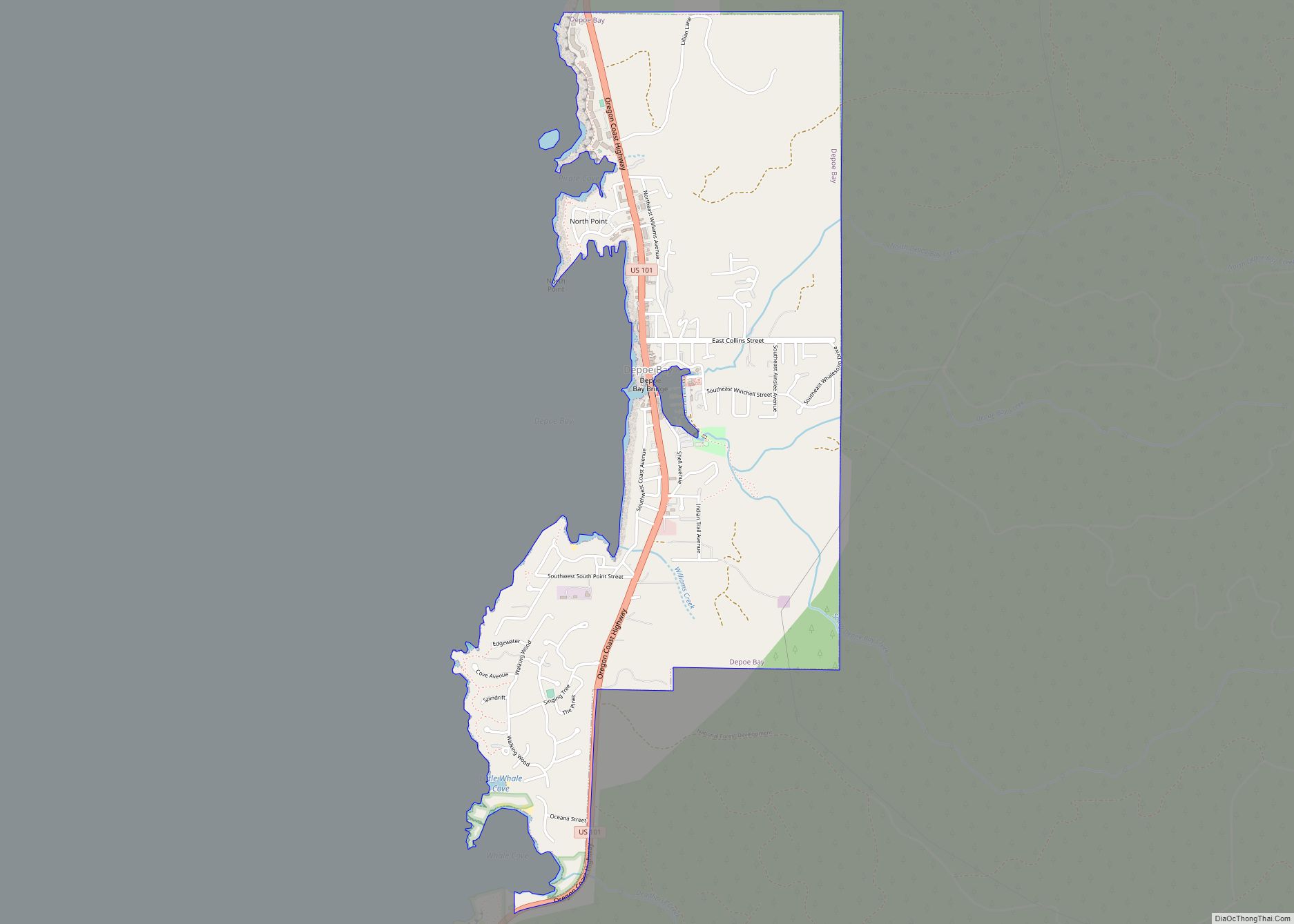
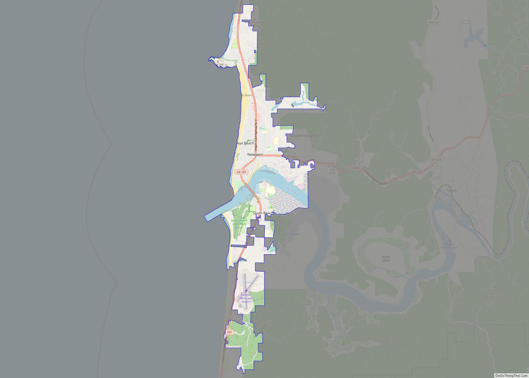
Depoe Bay is a city in Lincoln County, Oregon, United States, located on U.S. Route 101 on the Pacific Ocean. The population was 1,398 at the 2010 census. The bay of the same name is a 6-acre (2.4 ha) harbor that the city promotes as the world’s smallest navigable harbor.
| Name: | Depoe Bay city |
|---|---|
| LSAD Code: | 25 |
| LSAD Description: | city (suffix) |
| State: | Oregon |
| County: | Lincoln County |
| Incorporated: | 1973 |
| Elevation: | 7 ft (2 m) |
| Total Area: | 1.81 sq mi (4.69 km²) |
| Land Area: | 1.81 sq mi (4.69 km²) |
| Water Area: | 0.00 sq mi (0.00 km²) |
| Total Population: | 1,515 |
| Population Density: | 836.55/sq mi (322.94/km²) |
| ZIP code: | 97341 |
| Area code: | 541 |
| FIPS code: | 4118850 |
| GNISfeature ID: | 1119868 |
| Website: | www.cityofdepoebay.org |
Online Interactive Map
Click on ![]() to view map in "full screen" mode.
to view map in "full screen" mode.
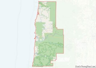
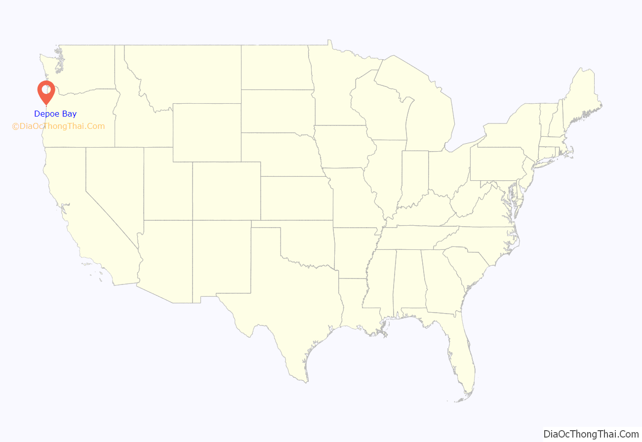
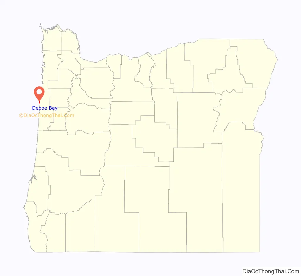
Depoe Bay location map. Where is Depoe Bay city?
History
Depoe Bay was named for Siletz Indian Charles “Charley” Depot who was originally allotted the land in 1894 as part of the Dawes Act of 1887. There are conflicting accounts of the origin of his name. One says he was given the name “Depot Charley” for working at the military depot near Toledo, Oregon. The family was later known as “DePoe”. His original tribal affiliation was Tututni.
In 1975, the fishing trip sequence in One Flew Over the Cuckoo’s Nest was filmed in Depoe Bay.
In 1983, the harbor sequence in Hysterical was filmed in Depoe Bay, with the Depoe Bay Bridge prominent in the background.
In 2008, restaurant scenes from The Burning Plain were filmed in Depoe Bay, at the Tidal Raves restaurant.
On March 11, 2011, Depoe Bay’s port was damaged by a tsunami caused by the Tōhoku earthquake off the coast of Japan.
On August 21, 2017, Depoe Bay became one of the first places in the United States to witness totality of the solar eclipse.
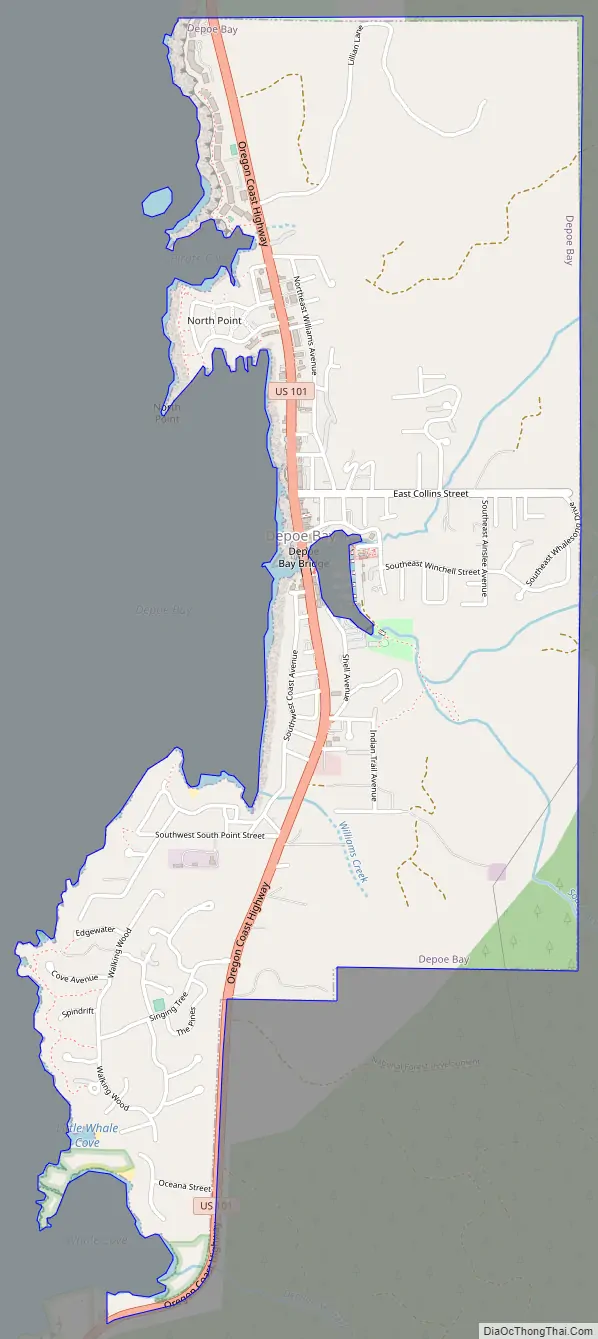
Depoe Bay Road Map
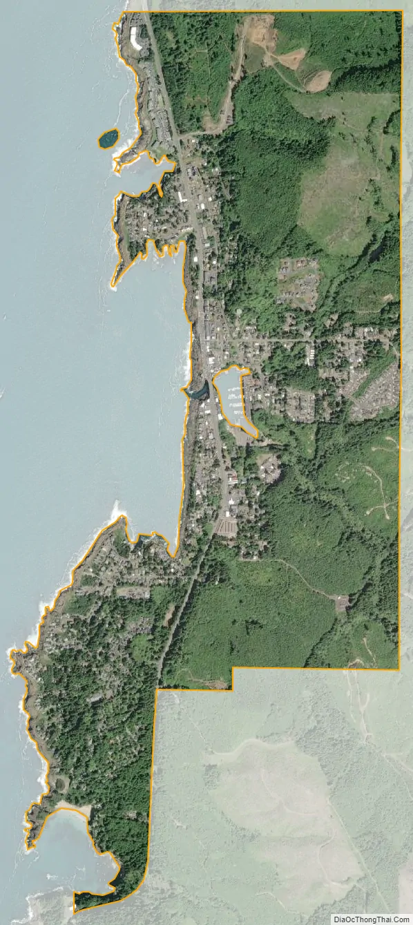
Depoe Bay city Satellite Map
Geography
According to the United States Census Bureau, the city has a total area of 1.81 square miles (4.69 km), all of it land.
See also
Map of Oregon State and its subdivision: Map of other states:- Alabama
- Alaska
- Arizona
- Arkansas
- California
- Colorado
- Connecticut
- Delaware
- District of Columbia
- Florida
- Georgia
- Hawaii
- Idaho
- Illinois
- Indiana
- Iowa
- Kansas
- Kentucky
- Louisiana
- Maine
- Maryland
- Massachusetts
- Michigan
- Minnesota
- Mississippi
- Missouri
- Montana
- Nebraska
- Nevada
- New Hampshire
- New Jersey
- New Mexico
- New York
- North Carolina
- North Dakota
- Ohio
- Oklahoma
- Oregon
- Pennsylvania
- Rhode Island
- South Carolina
- South Dakota
- Tennessee
- Texas
- Utah
- Vermont
- Virginia
- Washington
- West Virginia
- Wisconsin
- Wyoming