Dufur is a city in Wasco County, Oregon, United States. The population was 604 at the 2010 census. It is a farming community where wheat, tree fruit, and grapes are important crops.
| Name: | Dufur city |
|---|---|
| LSAD Code: | 25 |
| LSAD Description: | city (suffix) |
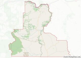
| State: | Oregon |
| County: | Wasco County |
| Incorporated: | 1893 |
| Elevation: | 1,345 ft (410 m) |
| Total Area: | 0.59 sq mi (1.53 km²) |
| Land Area: | 0.59 sq mi (1.53 km²) |
| Water Area: | 0.00 sq mi (0.00 km²) |
| Total Population: | 632 |
| Population Density: | 1,073.01/sq mi (414.29/km²) |
| ZIP code: | 97021 |
| Area code: | 458 and 541 |
| FIPS code: | 4120900 |
| GNISfeature ID: | 1120201 |
| Website: | cityofdufur.org |
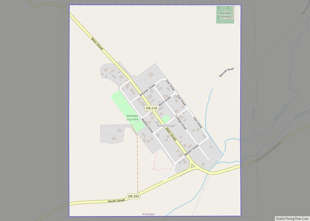
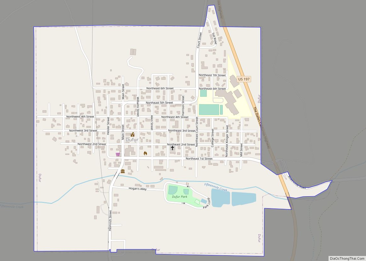
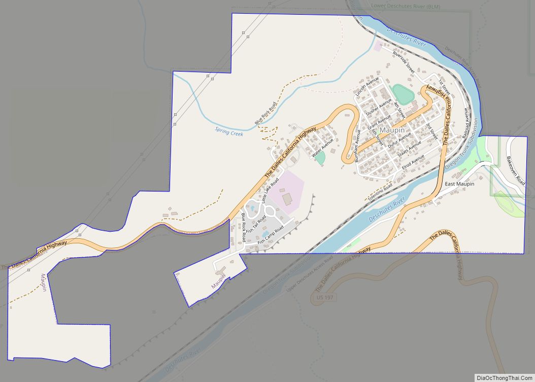
Online Interactive Map
Click on ![]() to view map in "full screen" mode.
to view map in "full screen" mode.
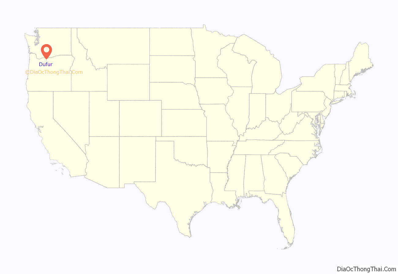
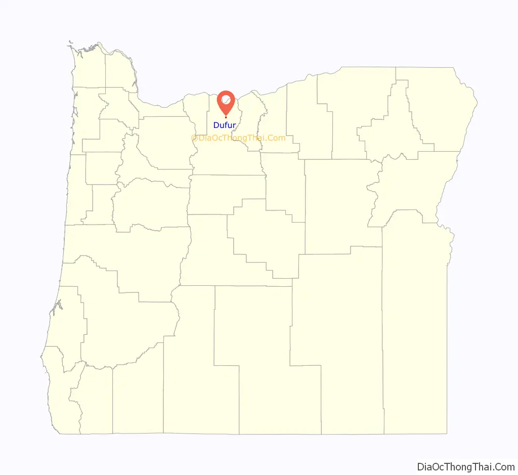
Dufur location map. Where is Dufur city?
History
Dufur was incorporated on February 10, 1893, and named after Andrew Dufur and his brother Enoch Burnham Dufur. In 1859 they began raising stock on 600 acres (2.4 km) of land located where the city now stands.
In 2018, areas of Dufur were evacuated due to three wildfires, the Long Hollow Fire, the Substation Fire, and the South Valley Fire, which burned over 100,000 acres in total.
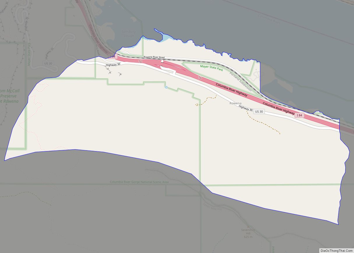
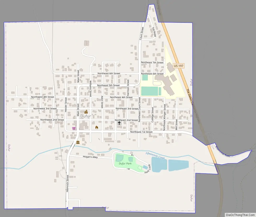
Dufur Road Map
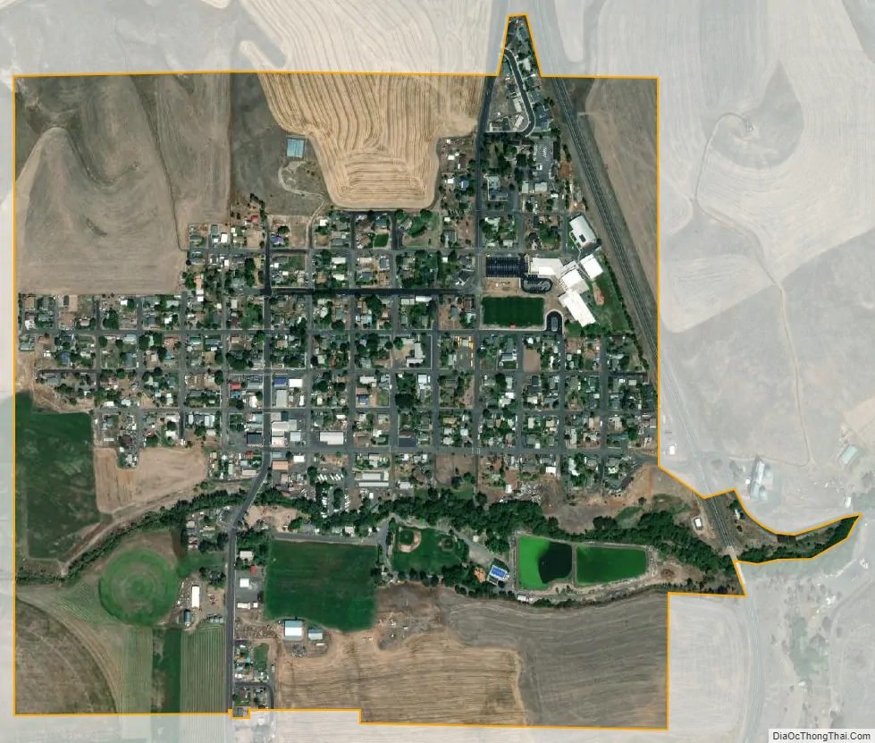
Dufur city Satellite Map
Geography
According to the United States Census Bureau, the city has a total area of 0.58 square miles (1.50 km), all of it land.
The hillside letter D can be seen in the northwest. (45°27′29″N 121°08′19″W / 45.458°N 121.1387°W / 45.458; -121.1387 (Dufur D))
See also
Map of Oregon State and its subdivision: Map of other states:- Alabama
- Alaska
- Arizona
- Arkansas
- California
- Colorado
- Connecticut
- Delaware
- District of Columbia
- Florida
- Georgia
- Hawaii
- Idaho
- Illinois
- Indiana
- Iowa
- Kansas
- Kentucky
- Louisiana
- Maine
- Maryland
- Massachusetts
- Michigan
- Minnesota
- Mississippi
- Missouri
- Montana
- Nebraska
- Nevada
- New Hampshire
- New Jersey
- New Mexico
- New York
- North Carolina
- North Dakota
- Ohio
- Oklahoma
- Oregon
- Pennsylvania
- Rhode Island
- South Carolina
- South Dakota
- Tennessee
- Texas
- Utah
- Vermont
- Virginia
- Washington
- West Virginia
- Wisconsin
- Wyoming