Glendale is a city in Douglas County, Oregon, United States. The population was 874 at the 2010 census.
| Name: | Glendale city |
|---|---|
| LSAD Code: | 25 |
| LSAD Description: | city (suffix) |
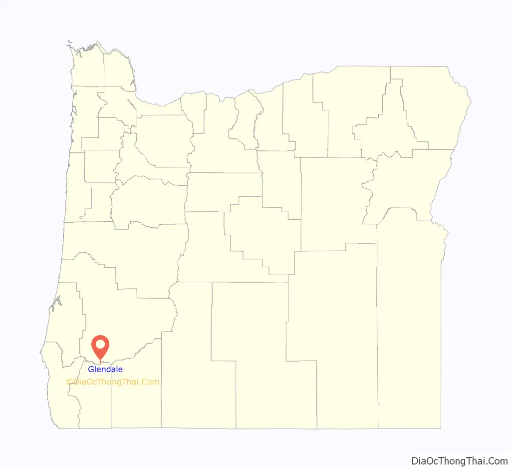
| State: | Oregon |
| County: | Douglas County |
| Incorporated: | 1901 |
| Elevation: | 1,431 ft (436 m) |
| Total Area: | 0.39 sq mi (1.02 km²) |
| Land Area: | 0.39 sq mi (1.02 km²) |
| Water Area: | 0.00 sq mi (0.00 km²) |
| Total Population: | 858 |
| Population Density: | 2,188.78/sq mi (844.57/km²) |
| ZIP code: | 97442 |
| Area code: | 541 |
| FIPS code: | 4129350 |
| GNISfeature ID: | 2410599 |
| Website: | www.cityofglendaleor.com |
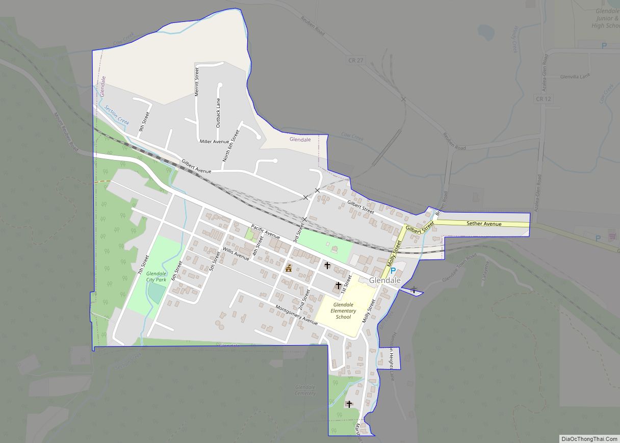
Online Interactive Map
Click on ![]() to view map in "full screen" mode.
to view map in "full screen" mode.
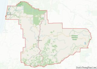
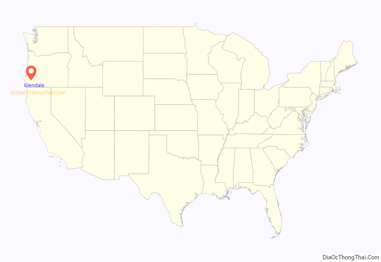
Glendale location map. Where is Glendale city?
History
After construction of a railroad line south from Roseburg in 1881–83, Solomon Abraham, the local right-of-way agent, platted the community and named it “Julia” after his wife. After a dispute with Abraham, A. F. Morris, the chief engineer for the railroad, changed the name to “Glendale”. A Julia post office was established in February 1883, and its name was changed to Glendale in August of the same year. L. D. Montgomery was the first postmaster. Fire destroyed much of Glendale’s business district in 1928. Glendale was quickly rebuilt.
In the 1880s, Russian-Jewish immigrants came here trying to escape the anti-Semitic rule of Alexander III. New Odessa, the first Jewish Communitarian Community in America settled near Glendale. By 1888 the New Odessa Community disbanded due to political and religious division.
Glendale was incorporated in 1901.
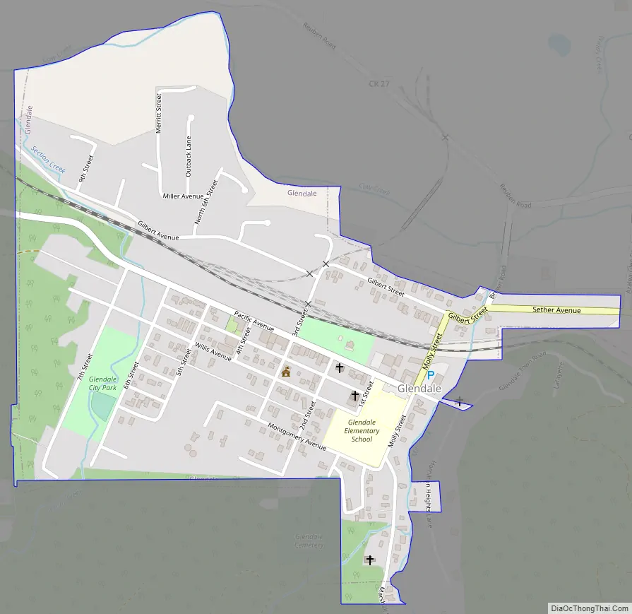
Glendale Road Map
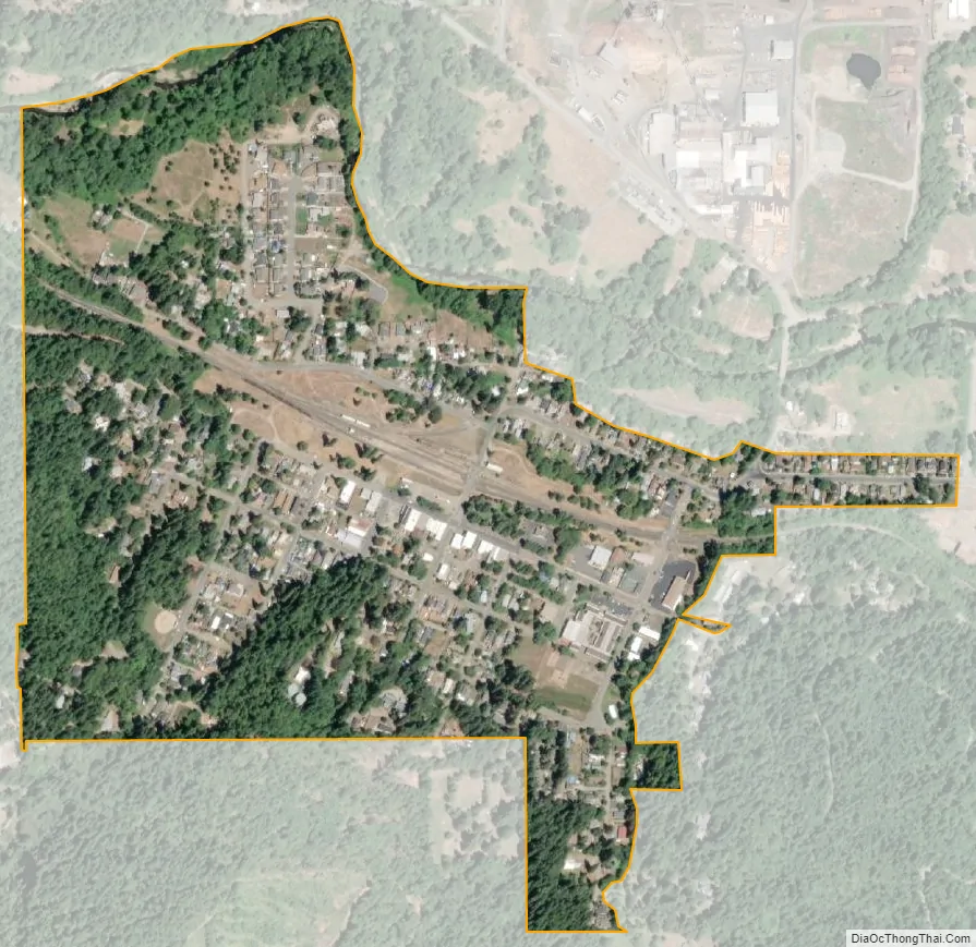
Glendale city Satellite Map
Geography
According to the United States Census Bureau, the city has a total area of 0.40 square miles (1.04 km), all of it land.
See also
Map of Oregon State and its subdivision: Map of other states:- Alabama
- Alaska
- Arizona
- Arkansas
- California
- Colorado
- Connecticut
- Delaware
- District of Columbia
- Florida
- Georgia
- Hawaii
- Idaho
- Illinois
- Indiana
- Iowa
- Kansas
- Kentucky
- Louisiana
- Maine
- Maryland
- Massachusetts
- Michigan
- Minnesota
- Mississippi
- Missouri
- Montana
- Nebraska
- Nevada
- New Hampshire
- New Jersey
- New Mexico
- New York
- North Carolina
- North Dakota
- Ohio
- Oklahoma
- Oregon
- Pennsylvania
- Rhode Island
- South Carolina
- South Dakota
- Tennessee
- Texas
- Utah
- Vermont
- Virginia
- Washington
- West Virginia
- Wisconsin
- Wyoming