Gold Beach (Tolowa: yan-shu’-chit, yan-shuu-chit’-dvn) is a city in and the county seat of Curry County, Oregon, United States, on the Oregon Coast. The population was 2,241 at the 2020 census.
| Name: | Gold Beach city |
|---|---|
| LSAD Code: | 25 |
| LSAD Description: | city (suffix) |
| State: | Oregon |
| County: | Curry County |
| Incorporated: | 1853 |
| Elevation: | 23 ft (7 m) |
| Total Area: | 2.77 sq mi (7.17 km²) |
| Land Area: | 2.53 sq mi (6.56 km²) |
| Water Area: | 0.23 sq mi (0.60 km²) |
| Total Population: | 2,341 |
| Population Density: | 923.84/sq mi (356.76/km²) |
| ZIP code: | 97444 |
| Area code: | 541 |
| FIPS code: | 4129900 |
| GNISfeature ID: | 2410609 |
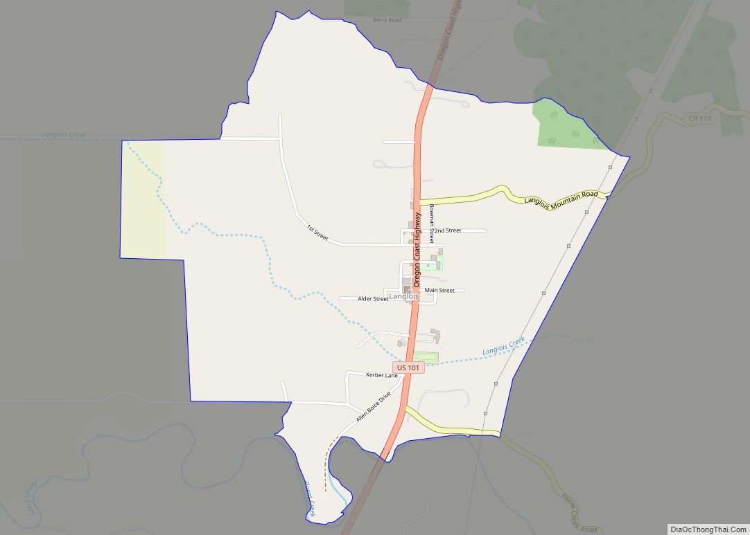
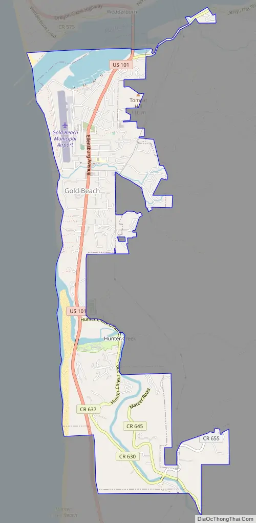
Online Interactive Map
Click on ![]() to view map in "full screen" mode.
to view map in "full screen" mode.
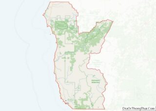
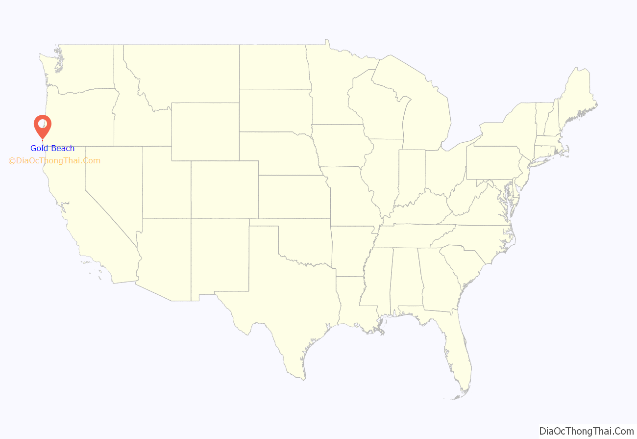
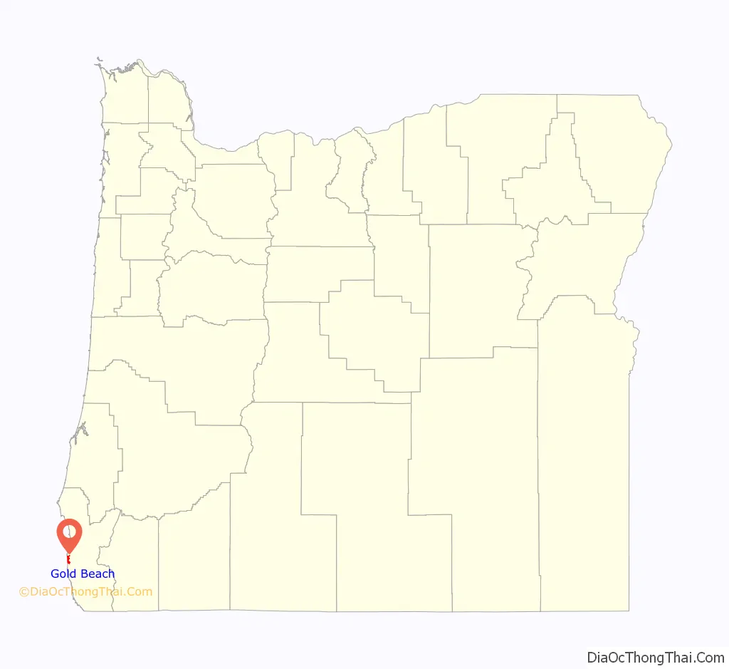
Gold Beach location map. Where is Gold Beach city?
History
The community was originally named Ellensburg in the 1850s, but later took the name Gold Beach after a beach near the mouth of the Rogue River where hundreds of placer mines extracted gold. An Ellensburg post office was established in 1853, changed to Ellensburg in 1877, and changed to Gold Beach in 1890.
Mailboats based in Gold Beach have been delivering mail upstream to Agness since 1895, one of only two rural mailboat routes remaining in the U.S.
Although Gold Beach had been a community since the middle of the 19th century, and the county seat since 1859, its current incorporation charter only dates to 1945.
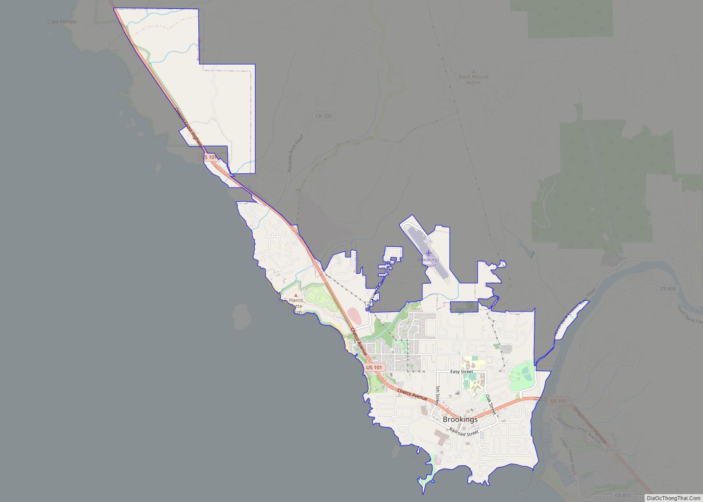
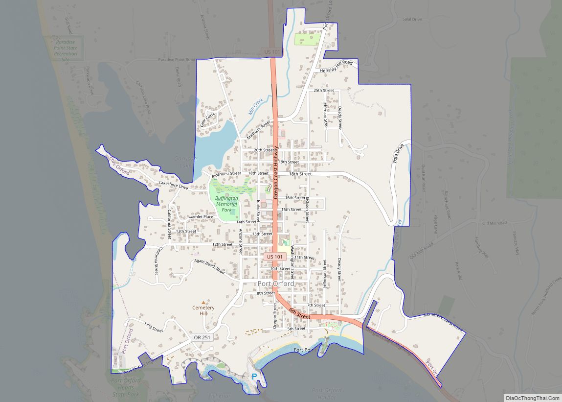
Gold Beach Road Map
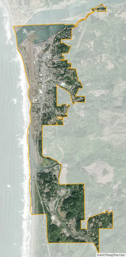
Gold Beach city Satellite Map
Geography
According to the United States Census Bureau, the city has a total area of 2.76 square miles (7.15 km), of which 2.53 square miles (6.55 km) is land and 0.23 square miles (0.60 km) is water.
Gold Beach is bordered to the north by the Rogue River and Barley Beach, also known as Bailey Beach.
Climate
Gold Beach has cool, very wet winters and mild, relatively dry summers. The location is heavily influenced by the moderating waters of the Pacific and the cool offshore currents. As a result, the temperature swings are very narrow for a climate of its latitude. According to the Köppen climate classification system, Gold Beach has a warm-summer Mediterranean climate (Csb). Between 1948 and 2014, the average maximum temperature in January was about 54 °F or 12.2 °C, and the average minimum was about 41 °F or 5 °C. The corresponding averages for July were 68 °F or 20 °C and 51 °F or 10.6 °C. Annually, there are high temperatures of 90 °F or 32.2 °C on an average of only 0.1 days and there are low temperatures of 32 °F or 0 °C or lower on an average of 9.2 days. The record high temperature was 102 °F (38.9 °C) on September 10, 1973. The record low temperature was 12 °F (−11.1 °C) on January 21, 1962.
The average annual precipitation between 1948 and 2014 was about 80 inches or 2,030 millimetres, mostly falling between October and April. Measurable precipitation occurs on an average of 132 days. The wettest “rain year” was from July 1973 to June 1974 with 116.23 inches (2,952.2 mm) and the driest from July 1976 to June 1977 with 38.83 inches (986.3 mm). The most precipitation in one month was 34.48 inches (875.8 mm) in November 1973. The most precipitation in 24 hours was 7.94 inches (201.7 mm) on December 3, 1987. Snow is very rare in Gold Beach, averaging only 0.2 inches or 0.0051 metres annually. The most snow in one year was 9.0 inches (0.23 m) in 1972, including 6.5 inches (0.17 m) in January and 2.5 inches (0.06 m) in December.
According to the Trewartha climate classification, it has a subtropical climate and is one of the northernmost North American locations to have one.
See also
Map of Oregon State and its subdivision: Map of other states:- Alabama
- Alaska
- Arizona
- Arkansas
- California
- Colorado
- Connecticut
- Delaware
- District of Columbia
- Florida
- Georgia
- Hawaii
- Idaho
- Illinois
- Indiana
- Iowa
- Kansas
- Kentucky
- Louisiana
- Maine
- Maryland
- Massachusetts
- Michigan
- Minnesota
- Mississippi
- Missouri
- Montana
- Nebraska
- Nevada
- New Hampshire
- New Jersey
- New Mexico
- New York
- North Carolina
- North Dakota
- Ohio
- Oklahoma
- Oregon
- Pennsylvania
- Rhode Island
- South Carolina
- South Dakota
- Tennessee
- Texas
- Utah
- Vermont
- Virginia
- Washington
- West Virginia
- Wisconsin
- Wyoming