Brookings is a city in Curry County, Oregon, United States. It was named after John E. Brookings, president of the Brookings Lumber and Box Company, which founded the city in 1908. As of the 2020 census, the population was 6,744.
| Name: | Brookings city |
|---|---|
| LSAD Code: | 25 |
| LSAD Description: | city (suffix) |
| State: | Oregon |
| County: | Curry County |
| Incorporated: | 1951 |
| Elevation: | 220 ft (70 m) |
| Total Area: | 4.16 sq mi (10.76 km²) |
| Land Area: | 4.15 sq mi (10.74 km²) |
| Water Area: | 0.01 sq mi (0.02 km²) |
| Total Population: | 6,744 |
| Population Density: | 1,626.24/sq mi (627.84/km²) |
| ZIP code: | 97415 |
| Area code: | 458 and 541 |
| FIPS code: | 4108650 |
| GNISfeature ID: | 2409916 |
| Website: | www.brookings.or.us |
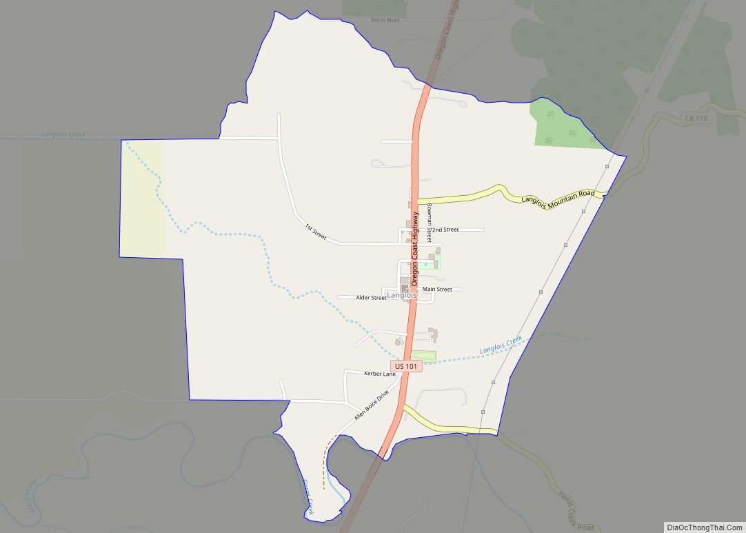
Online Interactive Map
Click on ![]() to view map in "full screen" mode.
to view map in "full screen" mode.
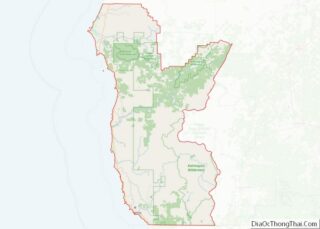
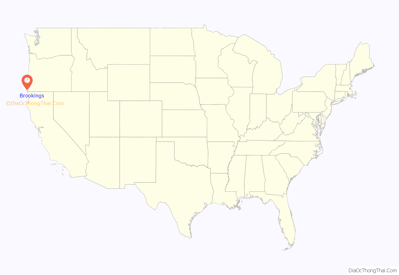
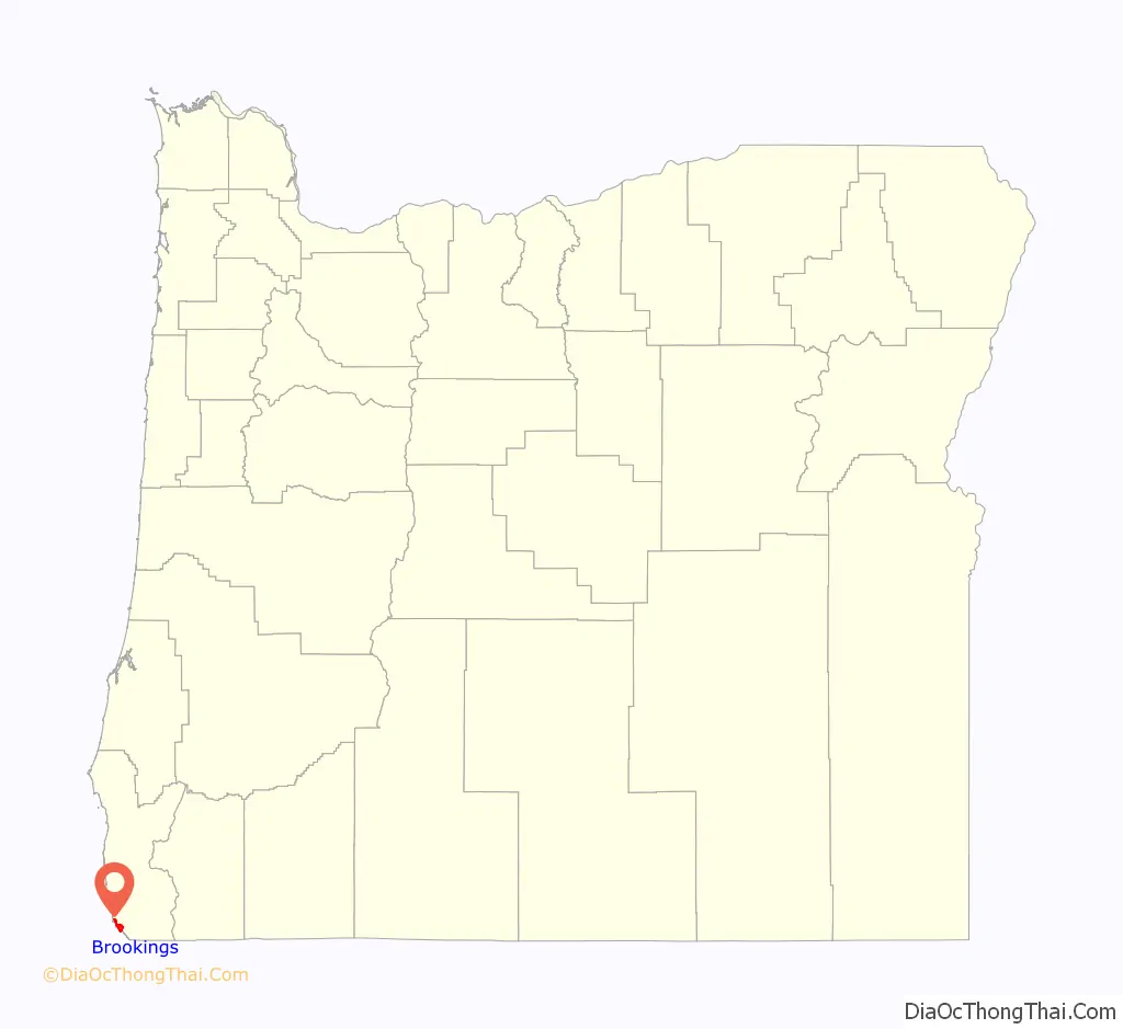
Brookings location map. Where is Brookings city?
History
Founding
In 1906, the Brookings Timber Company hired William James Ward, a graduate in civil engineering and forestry, to come to the southern Oregon Coast and survey its lumbering potential. After timber cruising the Chetco and Pistol River areas for several years, he recommended that the Brookings people begin extensive lumbering operations here and secure a townsite for a mill and shipping center.
While John E. Brookings was responsible for the founding of Brookings as a company town, it was his cousin, Robert S. Brookings, who was responsible for its actual design. The latter Brookings hired Bernard Maybeck, an architect based in San Francisco who was later involved in the Panama–Pacific International Exposition, to lay out the plat of the townsite.
World War II
On September 9, 1942, Mount Emily near Brookings became the only site in the mainland United States and the second in the continental territory after the bombing of Dutch Harbor to suffer aerial bombardment during World War II. A Japanese floatplane piloted by Nobuo Fujita was launched from submarine I-25. The plane was armed with two incendiary bombs on a mission intended to start massive fires in the dense forests of the Pacific Northwest.
Recent
The current marketing “brand” for the community, through the Brookings-Harbor Chamber of Commerce, is “The Pulse of America’s Wild Rivers Coast”. America’s Wild Rivers Coast is a regional marketing brand for Curry County, Oregon, and Del Norte County, California.
The Port of Brookings Harbor was damaged by tidal surges from a tsunami on March 11, 2011. The largest surge was estimated to be nearly 8 feet (2.4 m). Boats were damaged, sunk, set adrift, and swept out to sea after many docks were torn away and pilings broken. The tsunami was caused by the 9.0 MW Tōhoku earthquake offshore of the east coast of Honshu Island, Japan. The damage was estimated at $25 million to $30 million.
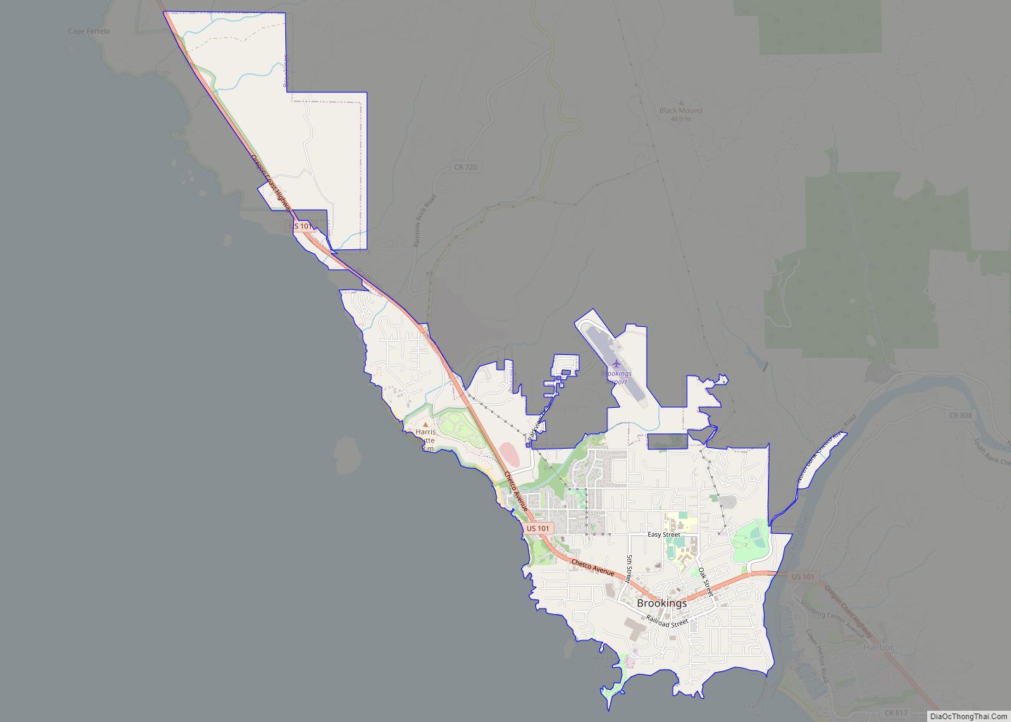
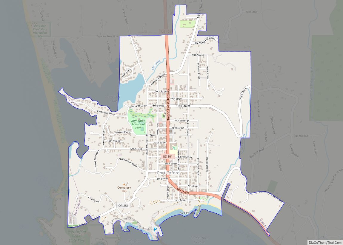
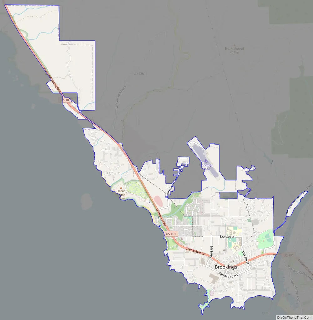
Brookings Road Map
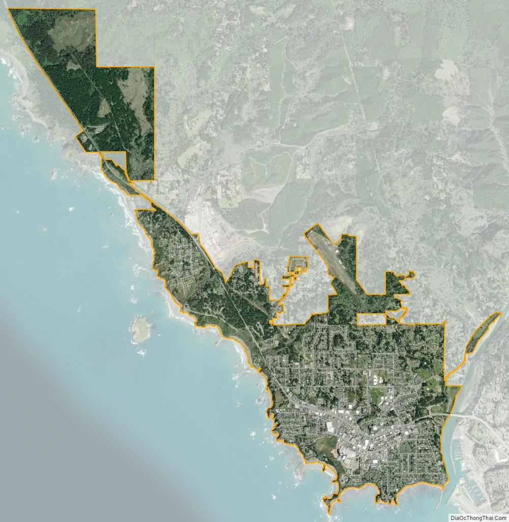
Brookings city Satellite Map
Geography
Brookings is located along the southern Oregon coast at the mouth of the Chetco River. According to the United States Census Bureau, the city has a total area of 3.94 square miles (10.20 km), of which 3.87 square miles (10.02 km) is land and 0.07 square miles (0.18 km) is water.
See also
Map of Oregon State and its subdivision: Map of other states:- Alabama
- Alaska
- Arizona
- Arkansas
- California
- Colorado
- Connecticut
- Delaware
- District of Columbia
- Florida
- Georgia
- Hawaii
- Idaho
- Illinois
- Indiana
- Iowa
- Kansas
- Kentucky
- Louisiana
- Maine
- Maryland
- Massachusetts
- Michigan
- Minnesota
- Mississippi
- Missouri
- Montana
- Nebraska
- Nevada
- New Hampshire
- New Jersey
- New Mexico
- New York
- North Carolina
- North Dakota
- Ohio
- Oklahoma
- Oregon
- Pennsylvania
- Rhode Island
- South Carolina
- South Dakota
- Tennessee
- Texas
- Utah
- Vermont
- Virginia
- Washington
- West Virginia
- Wisconsin
- Wyoming