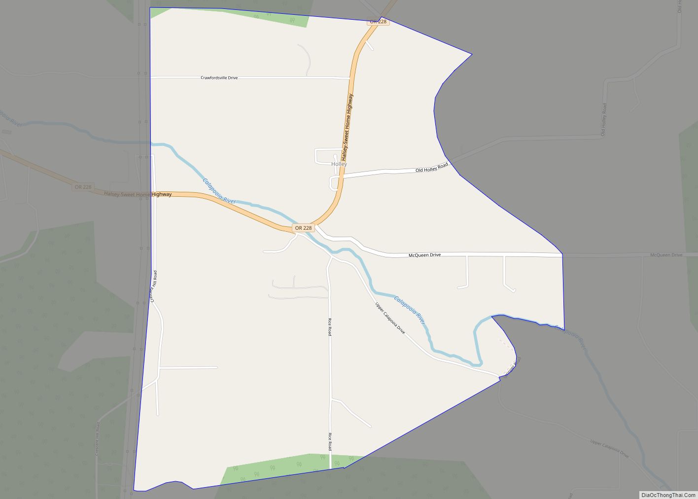
Holley is a census-designated place and unincorporated community in Linn County, Oregon, United States. As of the 2010 census it had a population of 378. It is about 4 miles (6 km) southwest of Sweet Home on Oregon Route 228 near the Calapooia River.
The Holley area was once the source of the semi-precious gemstone Holley blue agate.
| Name: | Holley CDP |
|---|---|
| LSAD Code: | 57 |
| LSAD Description: | CDP (suffix) |
| State: | Oregon |
| County: | Linn County |
| Elevation: | 638 ft (194 m) |
| Total Area: | 2.82 sq mi (7.30 km²) |
| Land Area: | 2.82 sq mi (7.30 km²) |
| Water Area: | 0.00 sq mi (0.00 km²) |
| Total Population: | 390 |
| Population Density: | 138.30/sq mi (53.40/km²) |
| FIPS code: | 4134650 |
| GNISfeature ID: | 1121920 |
Online Interactive Map
Click on ![]() to view map in "full screen" mode.
to view map in "full screen" mode.
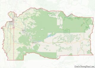
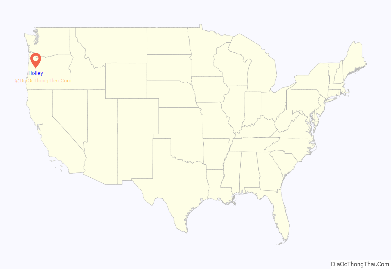
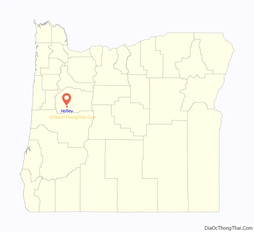
Holley location map. Where is Holley CDP?
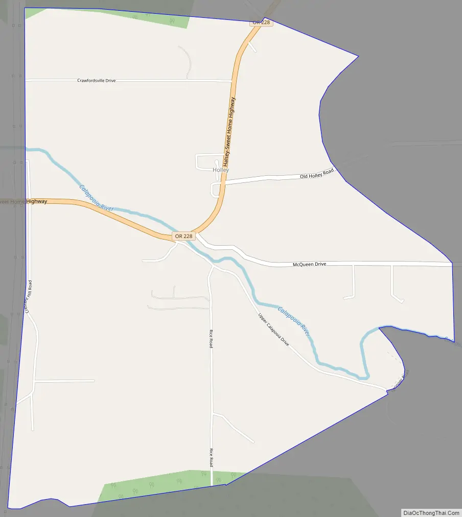
Holley Road Map
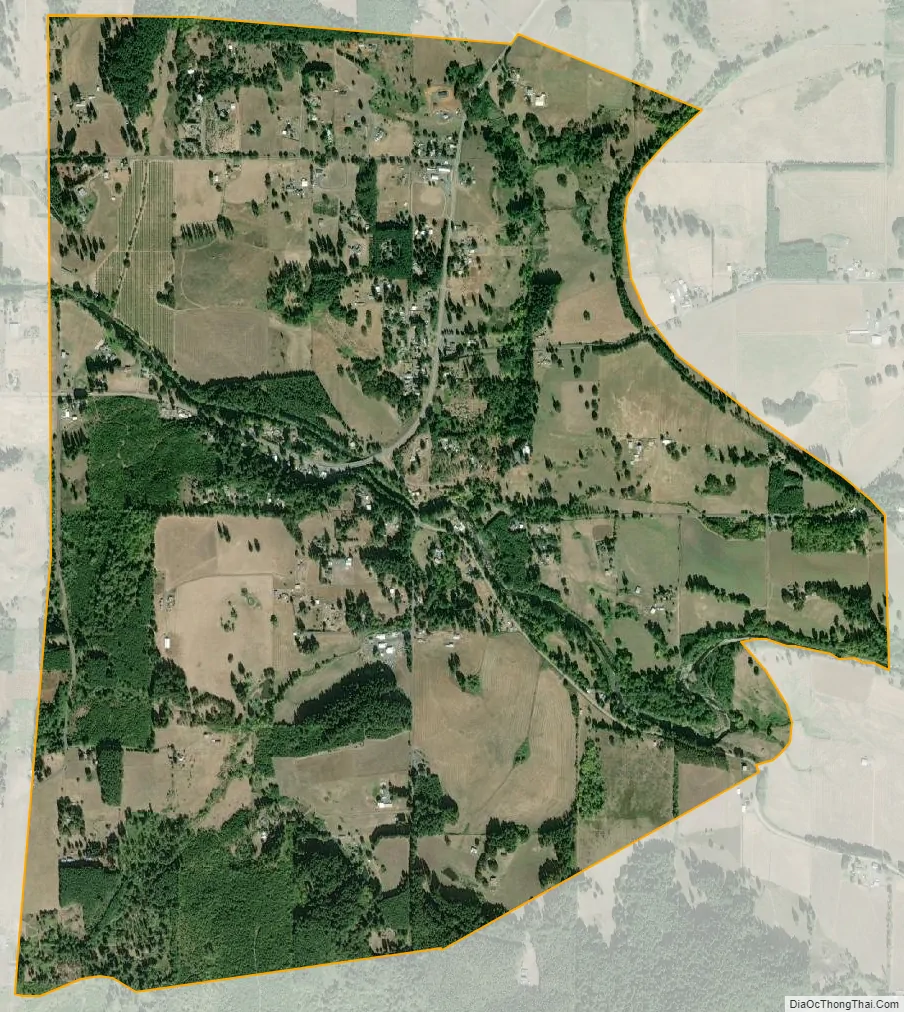
Holley city Satellite Map
See also
Map of Oregon State and its subdivision: Map of other states:- Alabama
- Alaska
- Arizona
- Arkansas
- California
- Colorado
- Connecticut
- Delaware
- District of Columbia
- Florida
- Georgia
- Hawaii
- Idaho
- Illinois
- Indiana
- Iowa
- Kansas
- Kentucky
- Louisiana
- Maine
- Maryland
- Massachusetts
- Michigan
- Minnesota
- Mississippi
- Missouri
- Montana
- Nebraska
- Nevada
- New Hampshire
- New Jersey
- New Mexico
- New York
- North Carolina
- North Dakota
- Ohio
- Oklahoma
- Oregon
- Pennsylvania
- Rhode Island
- South Carolina
- South Dakota
- Tennessee
- Texas
- Utah
- Vermont
- Virginia
- Washington
- West Virginia
- Wisconsin
- Wyoming