Jennings Lodge is a census-designated place and unincorporated community in Clackamas County, Oregon, United States, between Milwaukie and Gladstone. For statistical purposes, the United States Census Bureau has defined Jennings Lodge as a census-designated place (CDP). The census definition of the area may not precisely correspond to local understanding of the area with the same name. As of the United States Census, 2010, it had a total population of 7,315.
Even though Jennings Lodge is not part of Oregon City; the local elementary school (along with nearby Candy Lane Elementary) forms an exclave of the Oregon City School District. This state of affairs has been controversial over the years.
| Name: | Jennings Lodge CDP |
|---|---|
| LSAD Code: | 57 |
| LSAD Description: | CDP (suffix) |
| State: | Oregon |
| County: | Clackamas County |
| Elevation: | 95 ft (29 m) |
| Total Area: | 1.67 sq mi (4.32 km²) |
| Land Area: | 1.59 sq mi (4.12 km²) |
| Water Area: | 0.08 sq mi (0.20 km²) |
| Total Population: | 7,503 |
| Population Density: | 4,718.87/sq mi (1,822.50/km²) |
| ZIP code: | 97267 |
| Area code: | 503 |
| FIPS code: | 4137400 |
| GNISfeature ID: | 1136420 |
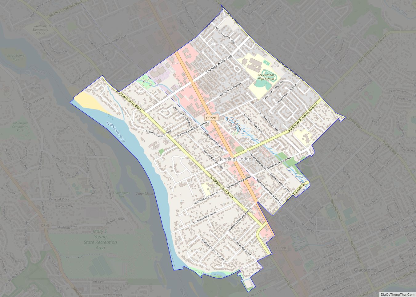
Online Interactive Map
Click on ![]() to view map in "full screen" mode.
to view map in "full screen" mode.
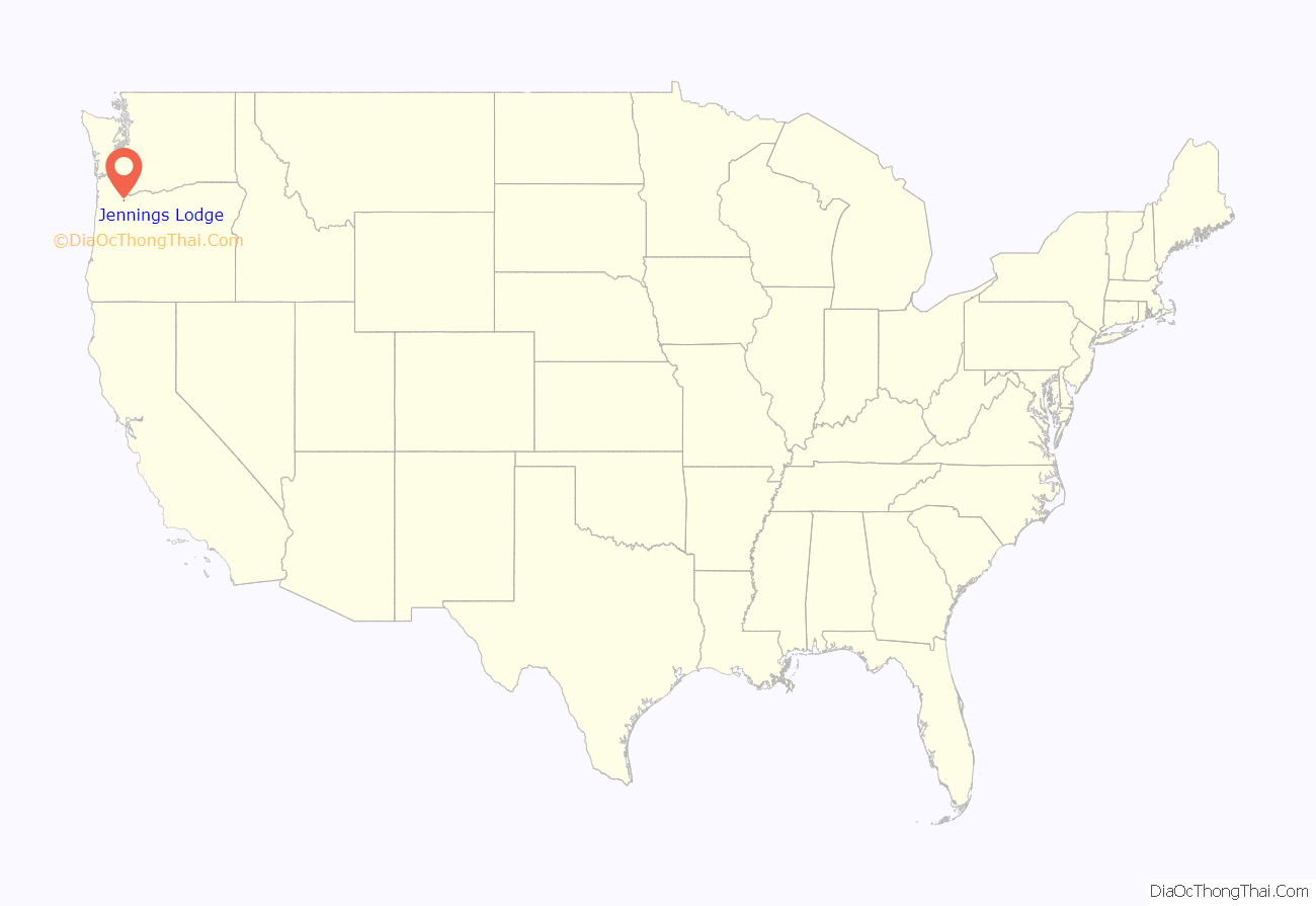
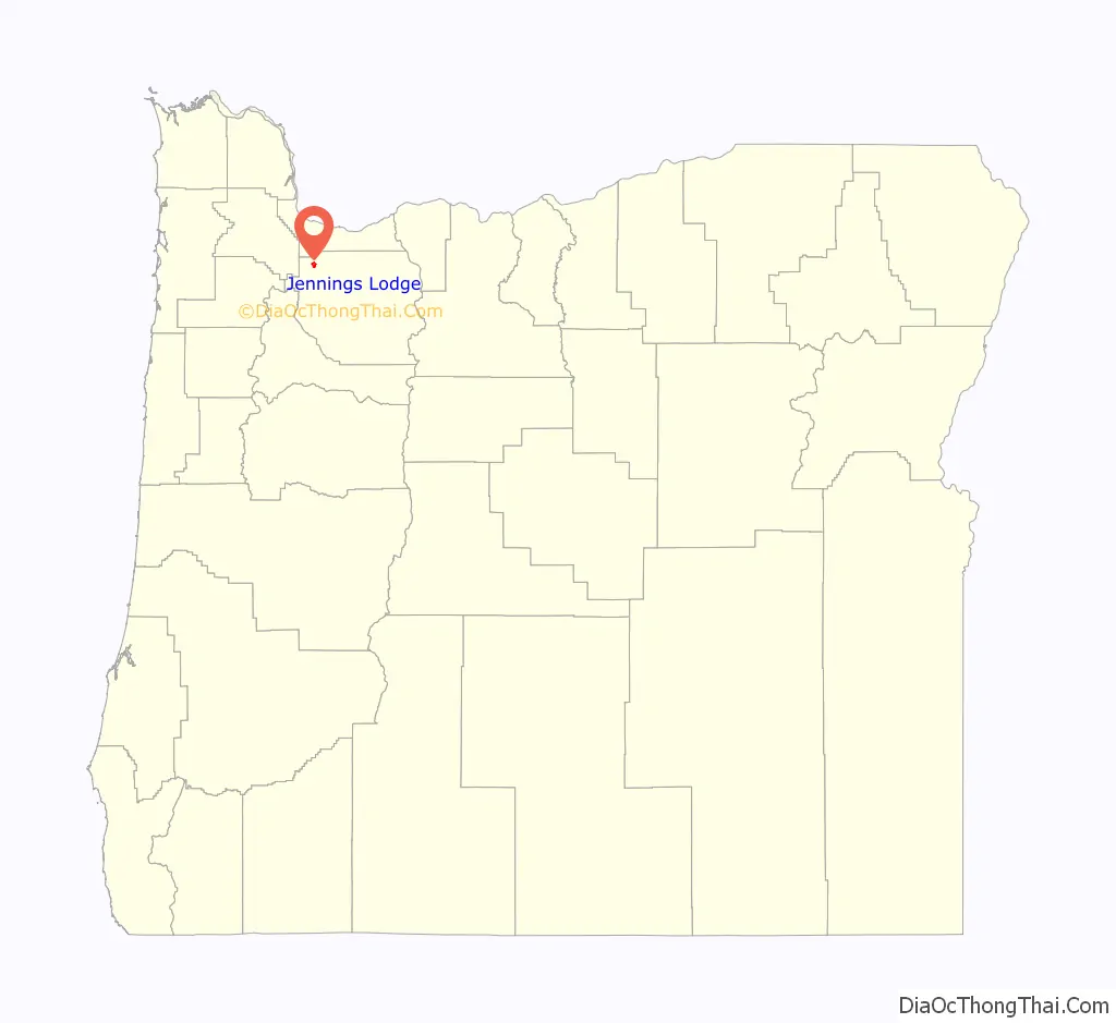
Jennings Lodge location map. Where is Jennings Lodge CDP?
History
According to Oregon Geographic Names, Jennings Lodge was platted as a townsite in 1905 and named after Berryman Jennings, an Oregon pioneer, one of whose children still owned Jennings’ house in 1927.
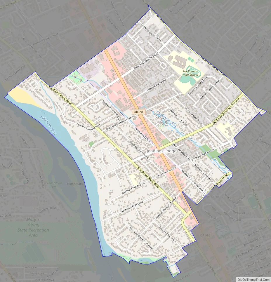
Jennings Lodge Road Map
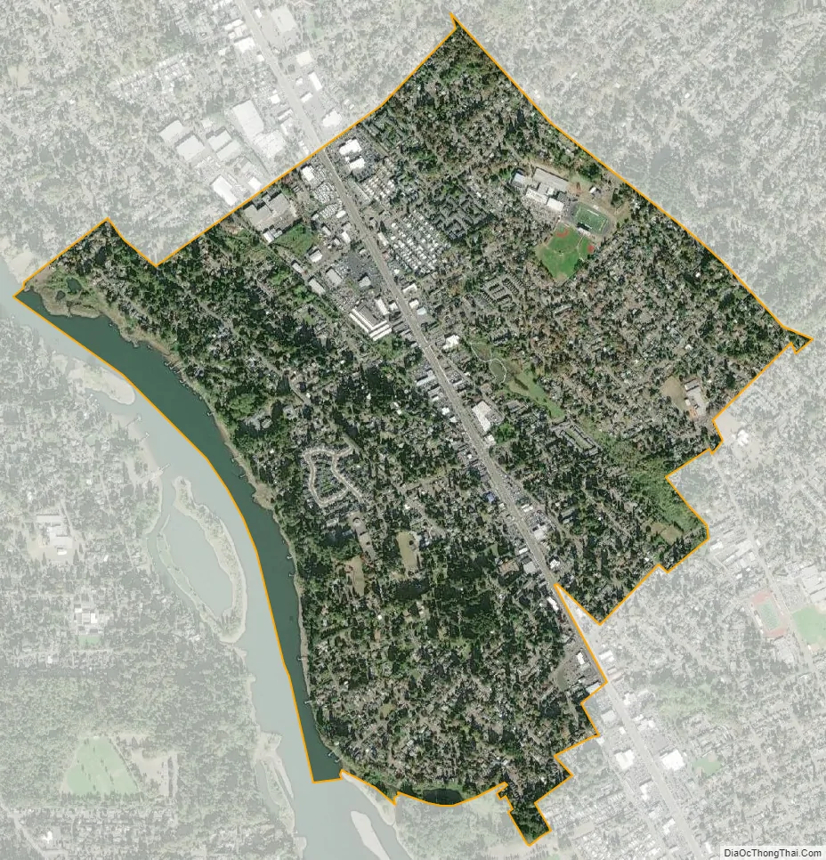
Jennings Lodge city Satellite Map
Geography
Jennings Lodge is located along the Willamette River.
According to the United States Census Bureau, the CDP has a total area of 1.7 square miles (4.4 km), of which 1.6 square miles (4.1 km) is land and 0.1 square miles (0.26 km) is water. The total area is 5.85% water.
See also
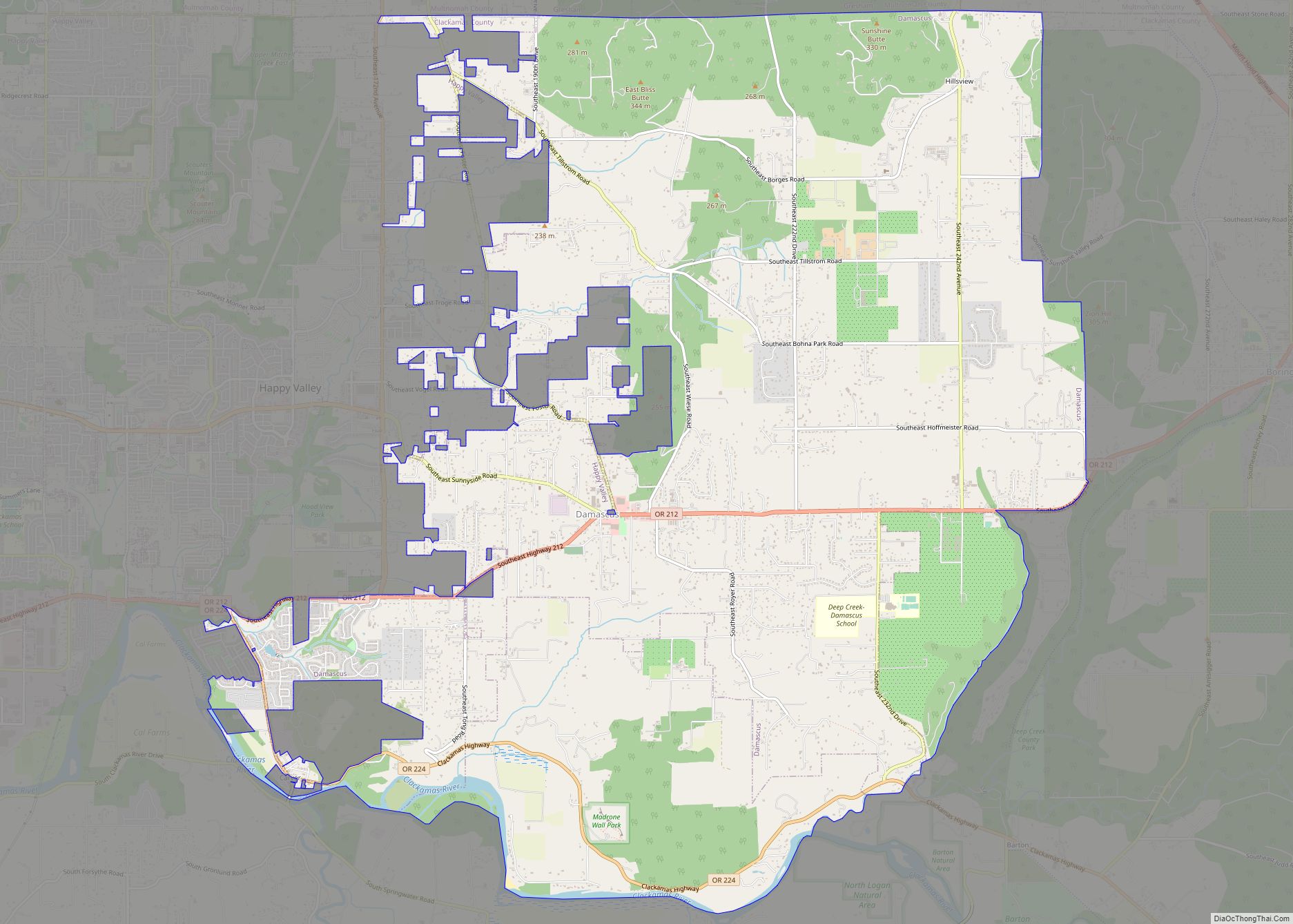
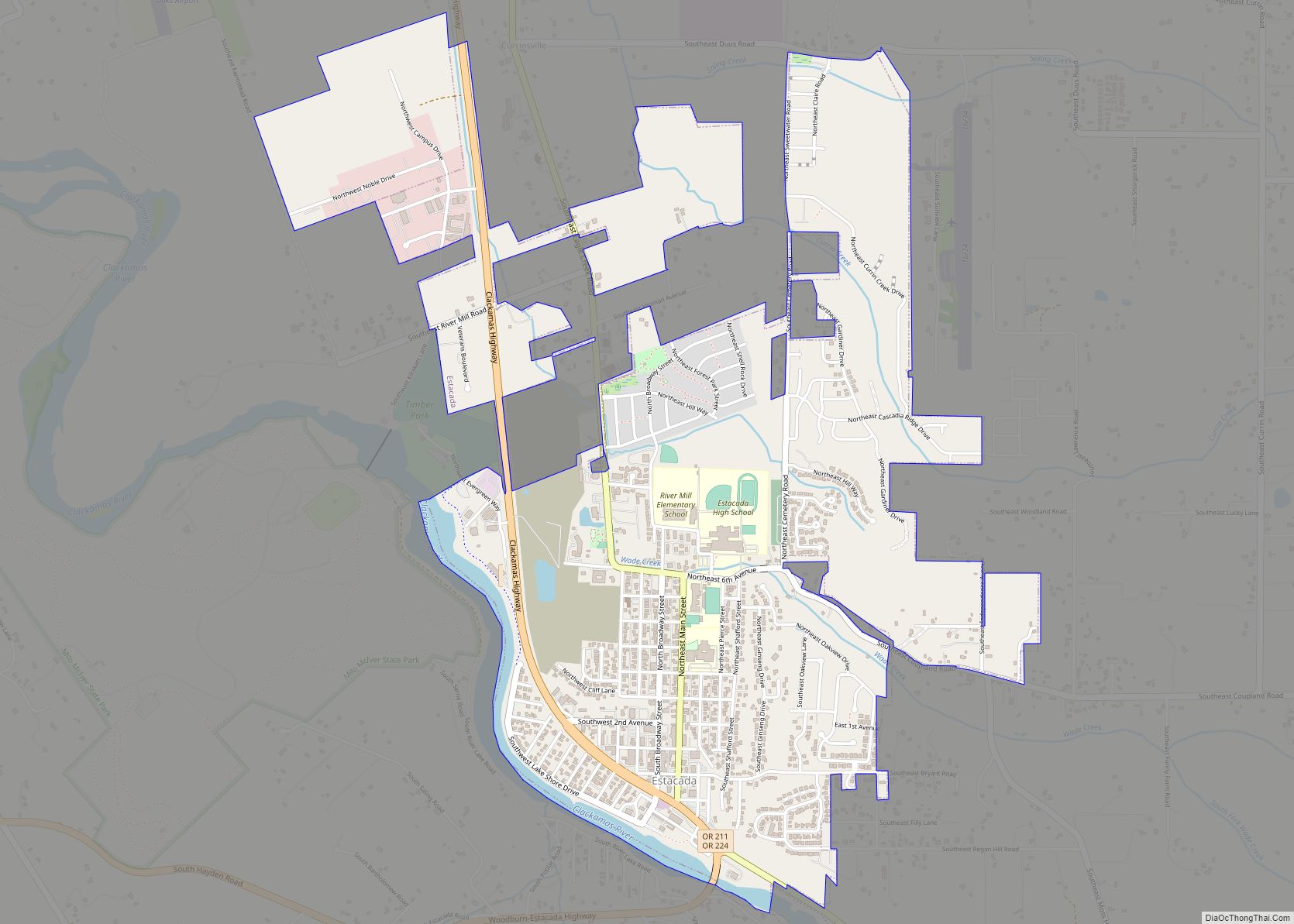
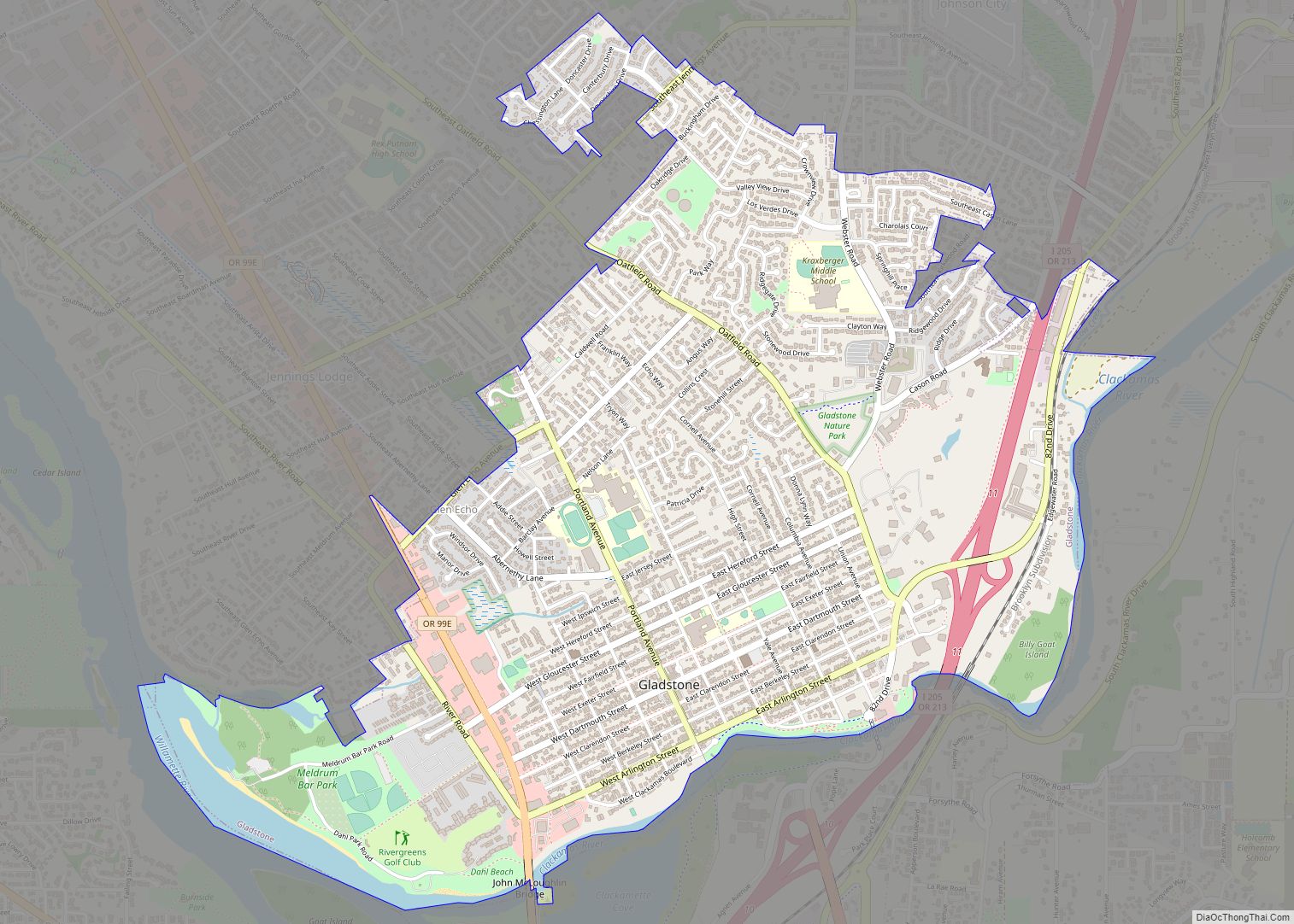
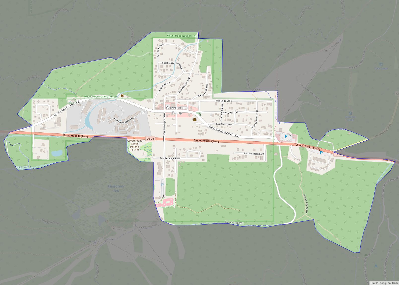
Map of Oregon State and its subdivision: Map of other states:- Alabama
- Alaska
- Arizona
- Arkansas
- California
- Colorado
- Connecticut
- Delaware
- District of Columbia
- Florida
- Georgia
- Hawaii
- Idaho
- Illinois
- Indiana
- Iowa
- Kansas
- Kentucky
- Louisiana
- Maine
- Maryland
- Massachusetts
- Michigan
- Minnesota
- Mississippi
- Missouri
- Montana
- Nebraska
- Nevada
- New Hampshire
- New Jersey
- New Mexico
- New York
- North Carolina
- North Dakota
- Ohio
- Oklahoma
- Oregon
- Pennsylvania
- Rhode Island
- South Carolina
- South Dakota
- Tennessee
- Texas
- Utah
- Vermont
- Virginia
- Washington
- West Virginia
- Wisconsin
- Wyoming