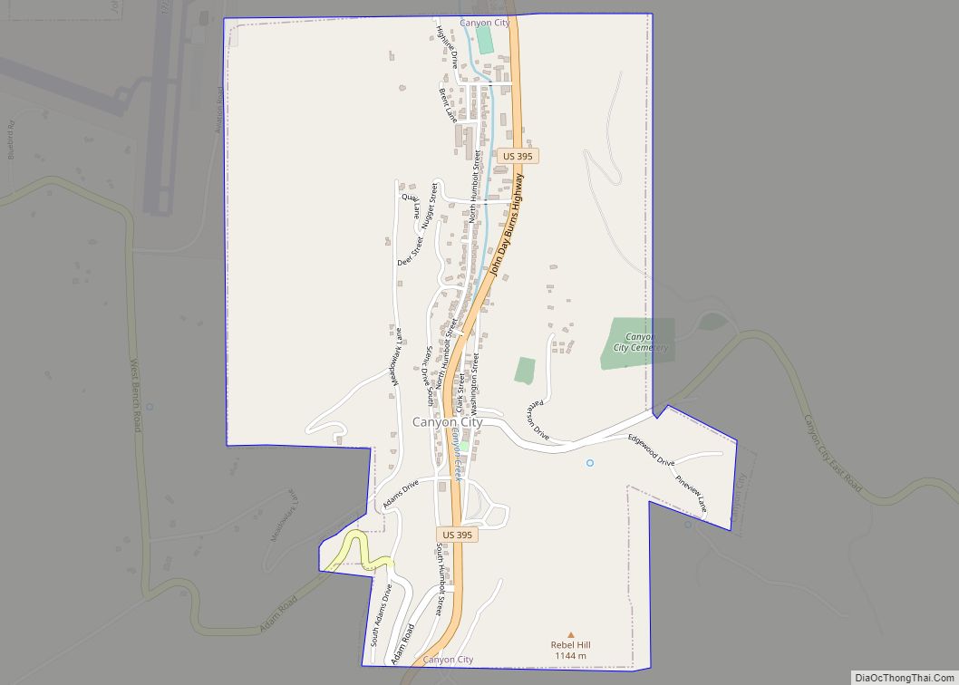
Canyon City is a city in Grant County, Oregon, United States. It is the county seat of Grant County, and is about 2 miles (3 km) south of John Day on U.S. Highway 395. As of the 2010 census, the city had a total population of 703.
| Name: | Canyon City town |
|---|---|
| LSAD Code: | 43 |
| LSAD Description: | town (suffix) |
| State: | Oregon |
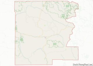
| County: | Grant County |
| Incorporated: | 1891 |
| Elevation: | 3,173 ft (973.5 m) |
| Total Area: | 1.41 sq mi (3.65 km²) |
| Land Area: | 1.41 sq mi (3.65 km²) |
| Water Area: | 0.00 sq mi (0.00 km²) |
| Total Population: | 660 |
| Population Density: | 468.75/sq mi (181.00/km²) |
| ZIP code: | 97820 |
| Area code: | 541 |
| FIPS code: | 4110950 |
| GNISfeature ID: | 1139318 |
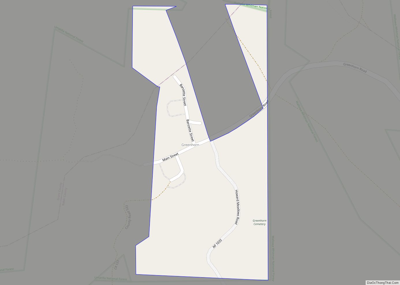
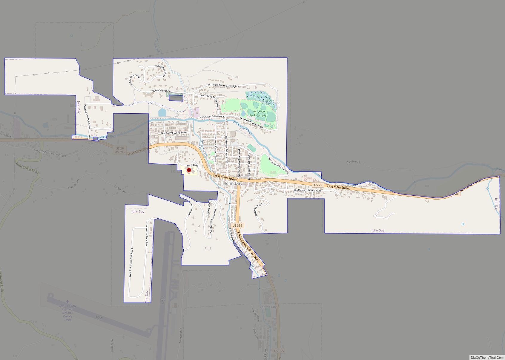
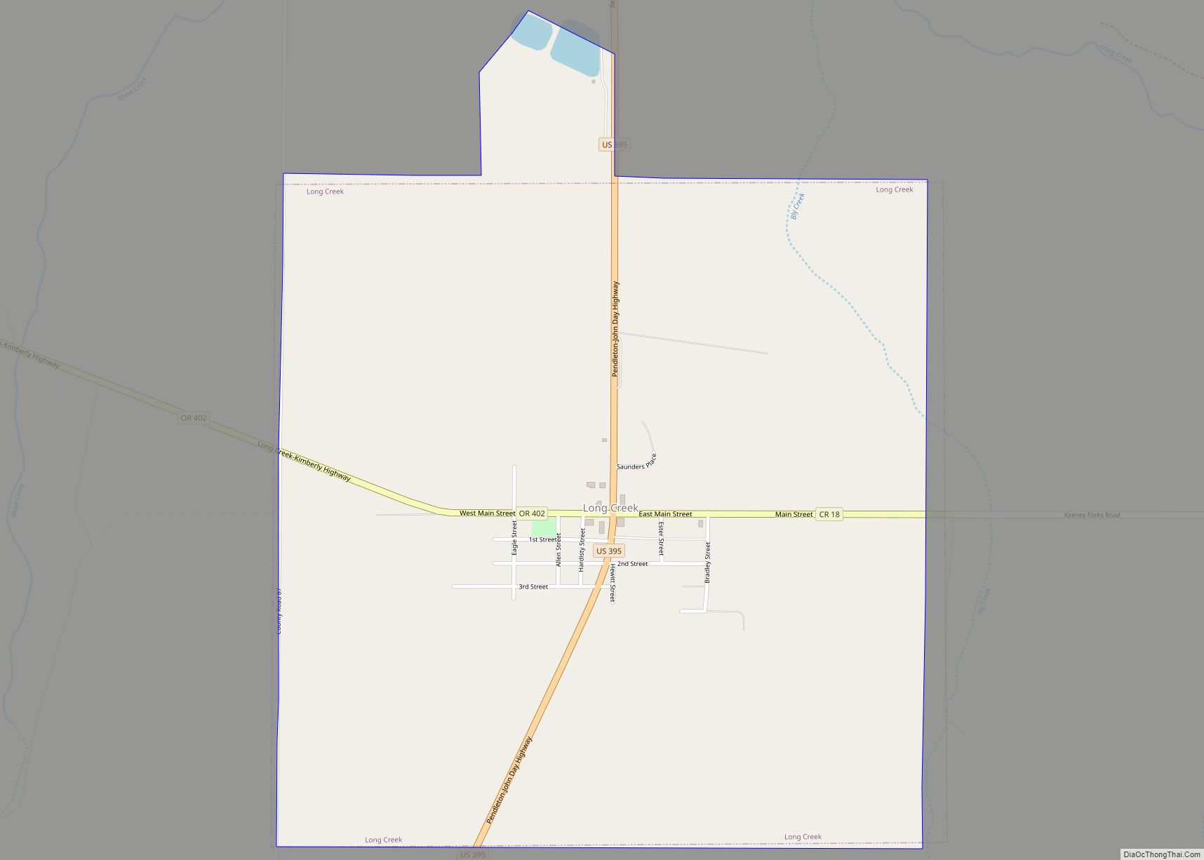
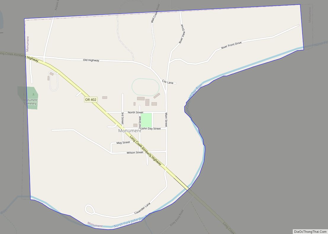
Online Interactive Map
Click on ![]() to view map in "full screen" mode.
to view map in "full screen" mode.
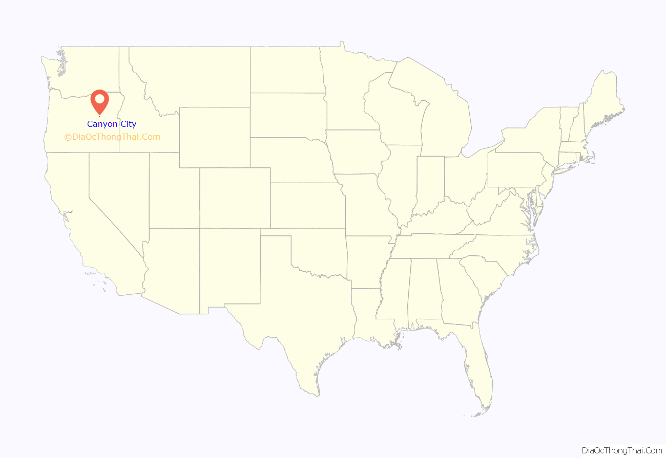
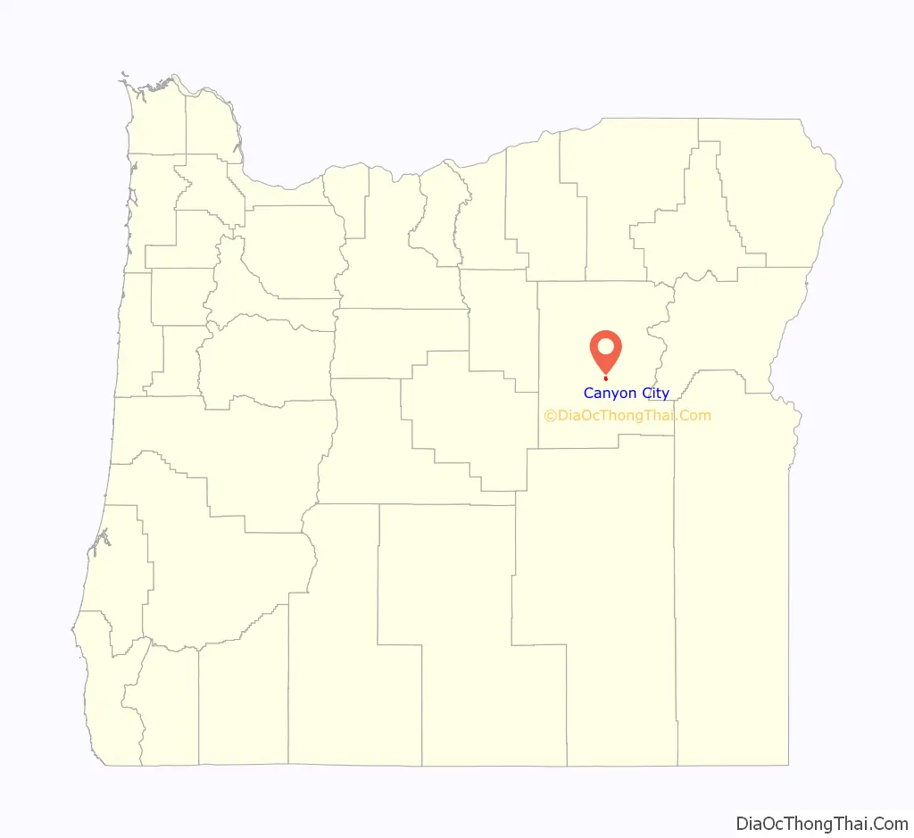
Canyon City location map. Where is Canyon City town?
History
Canyon City was established in June 1862 as a result of the discovery of gold in Canyon Creek, which flows from the south to meet the John Day River at John Day. As up to 10,000 miners flocked to Whiskey Gulch and other sections of the canyon during the early stages of the rush, land values between Canyon City and John Day rose to about $500 per square yard ($600/m). Little of this estimated population influx is reflected in U.S. Census Bureau tallies for Canyon City, which have fluctuated between 250 and about 700 since 1870.
Estimates of the total value of Canyon Creek’s gold varied. Geologist Waldemar Lindgren indicated that between $3 million and $5 million in gold was extracted for each of the first three years, 1862–64. Rossiter Raymond, the U.S. Commissioner of Mining Statistics, reported an average of $1.1 million a year between 1865 and 1870, afterward gradually tapering downwards. The figures given by Lindgren and Raymond were based on the fixed value of gold at $20.67 per ounce. As such, these authoritative sources should be interpreted to estimate the annual gold production of Canyon Creek at 150,000 to 250,000 ounces in 1862, 1863 and 1864, then averaging 55,000 ounces each year between 1865 and 1870. Earlier estimates that $16 million in gold was extracted from Canyon Creek were revised to $26 million after the fixed value of gold increased to $35 per ounce in 1933. These figures indicate that gross gold production from Canyon Creek for the 40 years between 1862 and 1902 was approximately 800,000 ounces. In 2013, at $1,400 per ounce, that gold would be valued at $1.12 billion. Gold production continued for another 40 years, until 1942, when the War Labor Board issued L-208, which prohibited gold mining and effectively killed the gold mining industry in the United States.
Many miners and others entered the area along a wagon road linking The Dalles on the Columbia River, with Canyon City. A few years later, this road was part of the template for what became known as The Dalles Military Road.
The city was platted in 1862 and was chosen as the county seat two years later, when Grant County was created from old Wasco County and old Umatilla County. Canyon City was incorporated in 1891, and voters elected C. W. Parrish as the first mayor.
Canyon City has been described as the “Deadwood of Oregon” and is the site of a Boot Hill Cemetery.
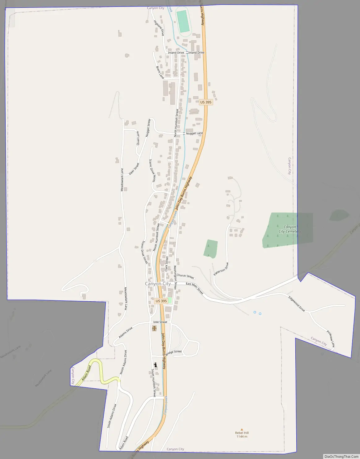
Canyon City Road Map
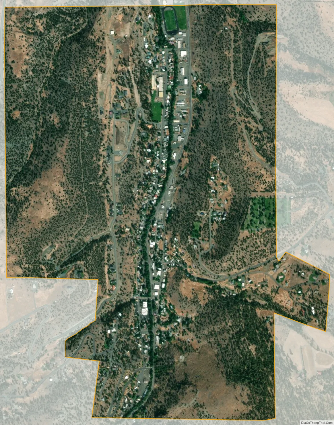
Canyon City city Satellite Map
Geography
Canyon City is along U.S. Route 395 about 2 miles (3 km) south of the city of John Day, the John Day River, and U.S. Route 26. It is 150 miles (240 km) east of Bend and 266 miles (428 km) southeast of Portland.
The city is at an elevation of about 3,200 feet (980 m). Between Canyon City and Burns, to the south, Route 395 passes through parts of the Malheur National Forest. According to the United States Census Bureau, the town has a total area of 1.41 square miles (3.65 km), all land.
Climate
This climatic region is typified by large seasonal temperature differences, with warm to hot (and often humid) summers and cold (sometimes severely cold) winters. According to the Köppen Climate Classification system, Canyon City has a humid continental climate, abbreviated “Dfb” on climate maps.
See also
Map of Oregon State and its subdivision: Map of other states:- Alabama
- Alaska
- Arizona
- Arkansas
- California
- Colorado
- Connecticut
- Delaware
- District of Columbia
- Florida
- Georgia
- Hawaii
- Idaho
- Illinois
- Indiana
- Iowa
- Kansas
- Kentucky
- Louisiana
- Maine
- Maryland
- Massachusetts
- Michigan
- Minnesota
- Mississippi
- Missouri
- Montana
- Nebraska
- Nevada
- New Hampshire
- New Jersey
- New Mexico
- New York
- North Carolina
- North Dakota
- Ohio
- Oklahoma
- Oregon
- Pennsylvania
- Rhode Island
- South Carolina
- South Dakota
- Tennessee
- Texas
- Utah
- Vermont
- Virginia
- Washington
- West Virginia
- Wisconsin
- Wyoming