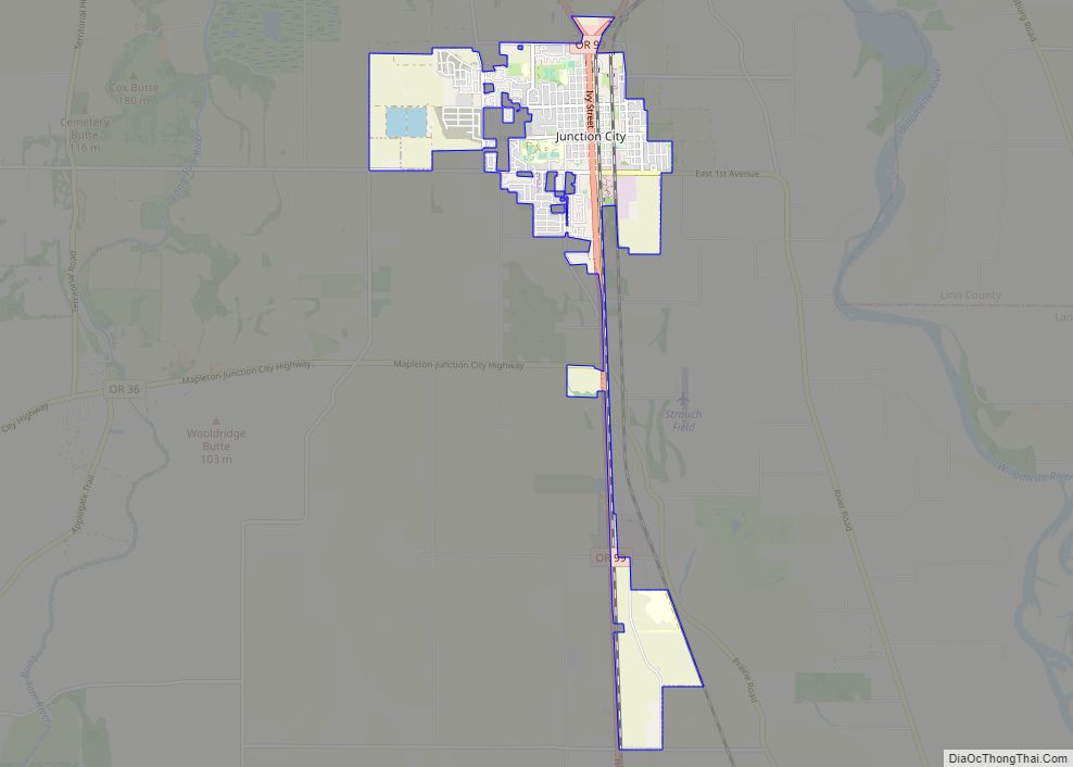
Junction City is a city in Lane County, Oregon, United States. As of the 2020 United States Census, it has a population of 6,747.
The Junction City area is notable for its Scandinavian heritage, with the city’s Scandinavian Festival attracting over 100,000 visitors annually. Junction City was previously a center of recreational vehicle manufacturing.
| Name: | Junction City city |
|---|---|
| LSAD Code: | 25 |
| LSAD Description: | city (suffix) |
| State: | Oregon |
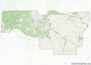
| County: | Lane County |
| Incorporated: | 1872 |
| Elevation: | 325 ft (99.1 m) |
| Total Area: | 3.30 sq mi (8.54 km²) |
| Land Area: | 3.30 sq mi (8.54 km²) |
| Water Area: | 0.00 sq mi (0.00 km²) |
| Total Population: | 6,787 |
| Population Density: | 2,058.54/sq mi (794.77/km²) |
| ZIP code: | 97448 |
| Area code: | 541 |
| FIPS code: | 4138000 |
| GNISfeature ID: | 1166668 |
| Website: | www.junctioncityoregon.gov |
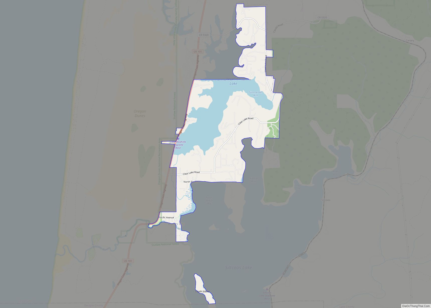
Online Interactive Map
Click on ![]() to view map in "full screen" mode.
to view map in "full screen" mode.
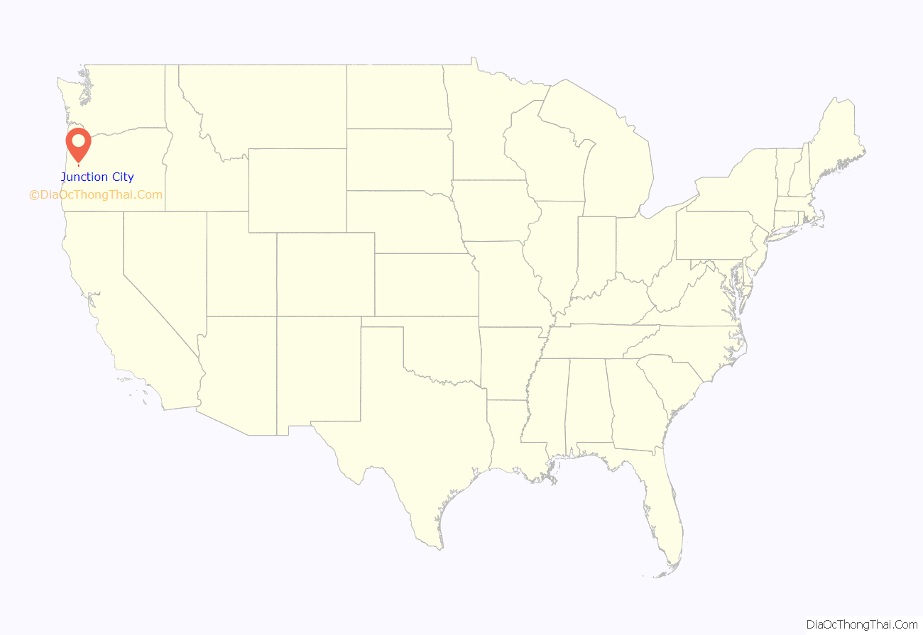
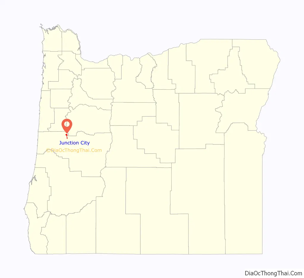
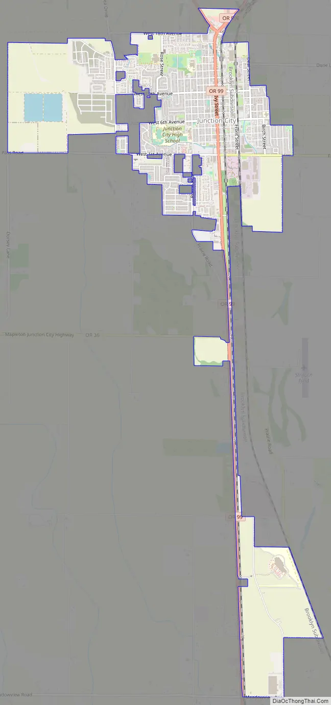
Junction City location map. Where is Junction City city?
History
The city was incorporated in 1872. Junction City was named by railroad magnate Ben Holladay, who decided that it would be where the rail line on the east side of the Willamette Valley would meet the rail line on the west side. The westside line, however, was not built according to plan and the rail junction never materialized. Junction City later became the meeting point of the east and west branches of U.S. Route 99 (which divide in Portland).
In 1902, real estate developer A.C. Nielsen subdivided 1,600 acres of farmland near Junction City into small farms and advertised them in a Danish-language newspaper in Iowa. Many families of Danish ancestry subsequently settled in the area. Danish was spoken regularly in the area until the 1940s, with Lutheran Church services offered in Danish until 1951. In 1961, residents of Junction City founded the Scandinavian Festival, an annual event that remains popular to this day, to celebrate the legacy of these and other Scandinavian immigrants to the Junction City area.
In the early 1990s, Junction City voters considered two ballot initiatives aimed at restricting LGBT civil rights. The initiatives sought to ban the city government from enforcing civil rights protections based on sexual orientation and prohibited public money from being spent to “promote” homosexuality. The first ballot initiative was narrowly passed by voters on June 29, 1993, by a vote of 631 to 628 (50.12% in favor). The election was subsequently invalidated due to evidence of voter fraud by supporters. Litigation led by the ACLU of Oregon showed that a Junction City church had allowed several members of their congregation who did not live in Junction City to fraudulently register to vote in Junction City by claiming the church was their residential address. A similar initiative was placed before voters again in March 1994 and passed with a larger margin. In 1995, all Anti-LBGT local ordinances in Oregon were invalidated when the Oregon Supreme Court upheld House Bill 3500.
From 2003 to 2005, a group of local farmers posed for nude calendars to raise money for the Junction City School District. Sales in over 63 countries raised more than $650,000.
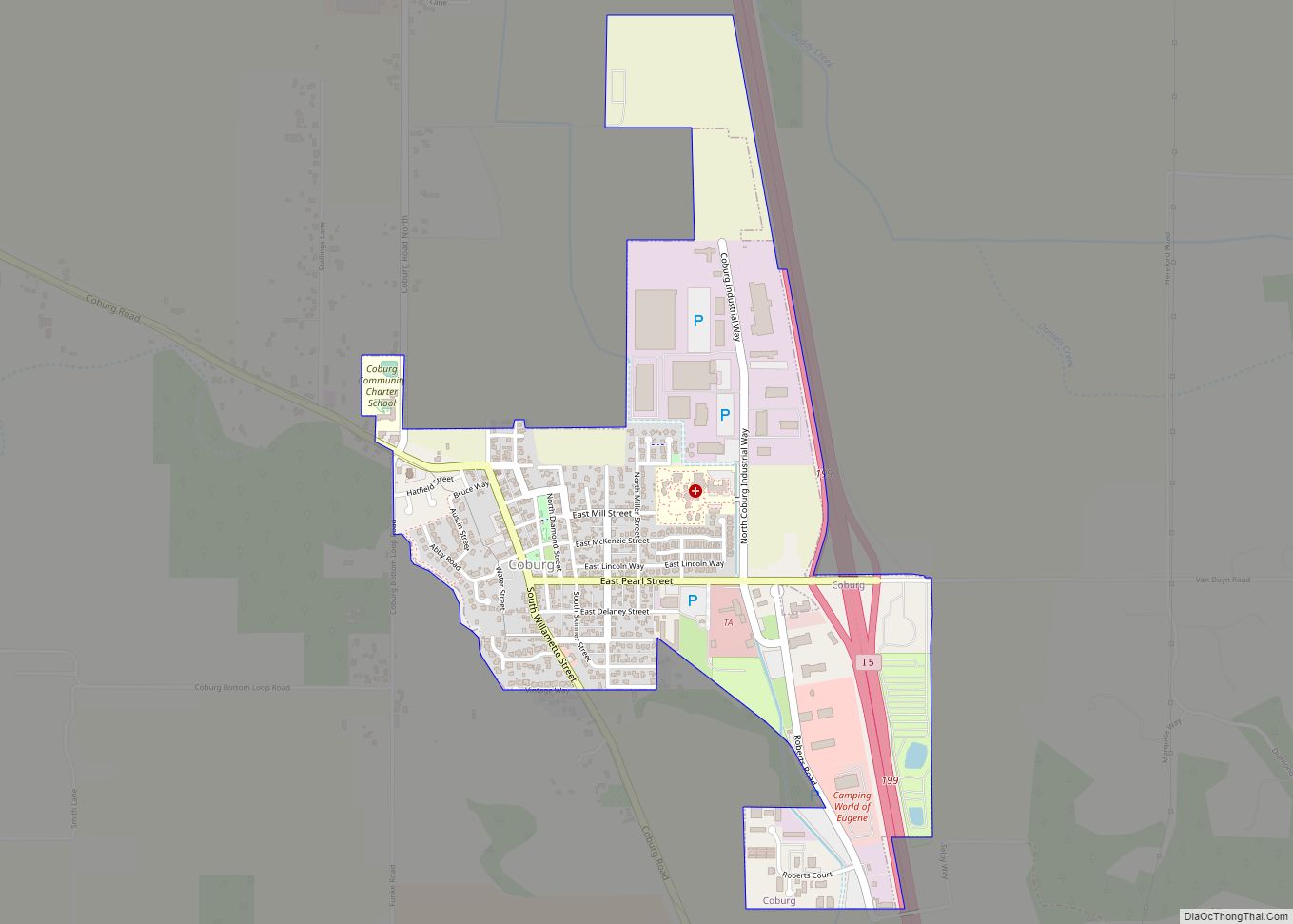
Junction City Road Map
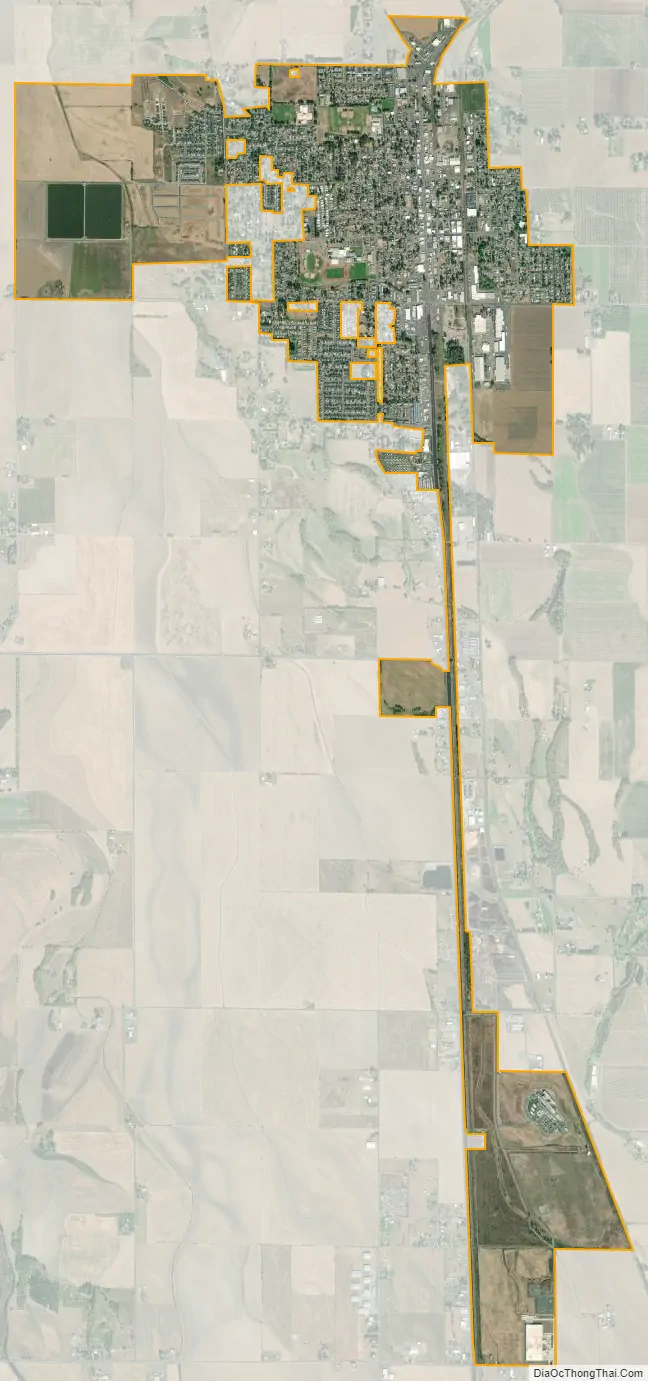
Junction City city Satellite Map
Geography
According to the United States Census Bureau, the city has a total area of 2.36 square miles (6.11 km), all of it land.
Climate
This region experiences warm (but not hot) and dry summers, with no average monthly temperatures above 71.6 °F (22 °C). According to the Köppen Climate Classification system, Junction City has a warm-summer Mediterranean climate, abbreviated “Csb” on climate maps.
See also
Map of Oregon State and its subdivision: Map of other states:- Alabama
- Alaska
- Arizona
- Arkansas
- California
- Colorado
- Connecticut
- Delaware
- District of Columbia
- Florida
- Georgia
- Hawaii
- Idaho
- Illinois
- Indiana
- Iowa
- Kansas
- Kentucky
- Louisiana
- Maine
- Maryland
- Massachusetts
- Michigan
- Minnesota
- Mississippi
- Missouri
- Montana
- Nebraska
- Nevada
- New Hampshire
- New Jersey
- New Mexico
- New York
- North Carolina
- North Dakota
- Ohio
- Oklahoma
- Oregon
- Pennsylvania
- Rhode Island
- South Carolina
- South Dakota
- Tennessee
- Texas
- Utah
- Vermont
- Virginia
- Washington
- West Virginia
- Wisconsin
- Wyoming