Langlois /ˈlæŋlɪs/ is an unincorporated community and census-designated place in Curry County, Oregon, United States, on the Oregon Coast established in 1881. It had a population of 177 in 2010. Langlois was once famous for its blue cheese, until the cheese factory burned down in the 1950s. It was never rebuilt.
Langlois was named for William Langlois, an early Oregon pioneer. As phonetically spelled in the 1860 Federal Census, Port Oxford Precint [sic], page 110, the name was pronounced “Langless,” however the modern pronunciation used by the local residents today is “Lang-loyce.” (It rhymes with Joyce.)
The population consists primarily of retirees, with a healthy mix of ranchers and farmers. The logging and fishing industries are also a dominant presence in the community.
Langlois is also home to the Langlois Market, world famous to Hwy 101 road trippers and travelers, known for their hot dogs and house-made mustard, a 30+ year old family recipe.
Langois has a public library and a small US postal service office.
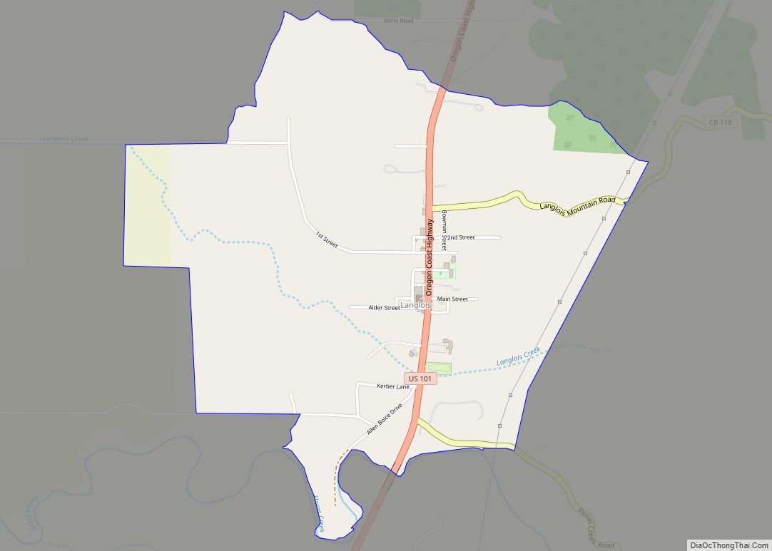
Langlois is located spanning U.S. Route 101, 41 miles (66 km) by road north of Gold Beach. It is 2.3 miles (3.7 km) inland from the Pacific Ocean. Floras Creek, a tributary of the New River, passes through the southern part of the community.
| Name: | Langlois CDP |
|---|---|
| LSAD Code: | 57 |
| LSAD Description: | CDP (suffix) |
| State: | Oregon |
| County: | Curry County |
| Elevation: | 66 ft (20 m) |
| Total Area: | 1.43 sq mi (3.69 km²) |
| Land Area: | 1.43 sq mi (3.69 km²) |
| Water Area: | 0.00 sq mi (0.00 km²) |
| Total Population: | 196 |
| Population Density: | 137.45/sq mi (53.05/km²) |
| ZIP code: | 97450 |
| Area code: | 458 and 541 |
| FIPS code: | 4140950 |
| GNISfeature ID: | 2611739 |
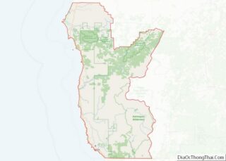
Online Interactive Map
Click on ![]() to view map in "full screen" mode.
to view map in "full screen" mode.
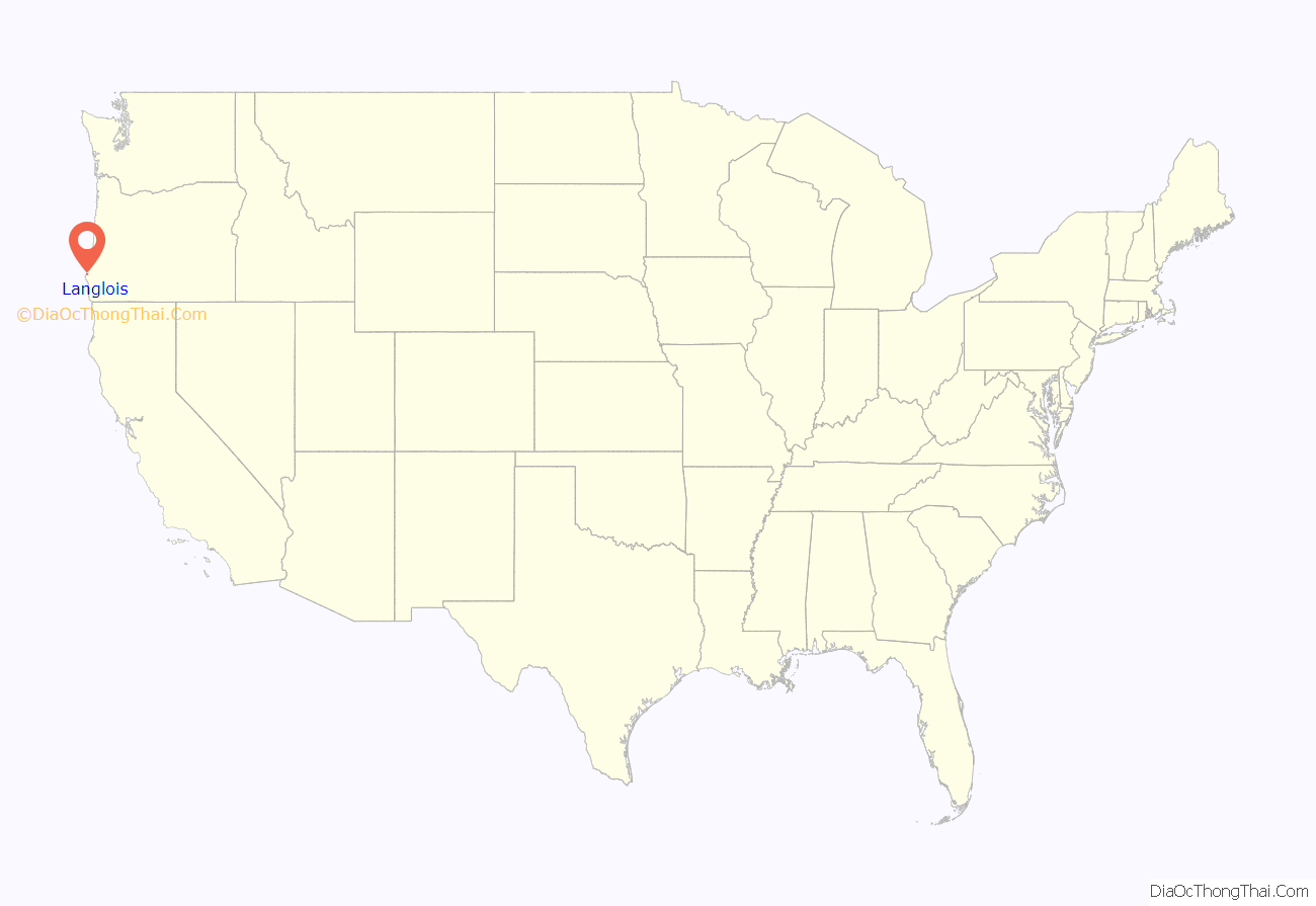
Langlois location map. Where is Langlois CDP?
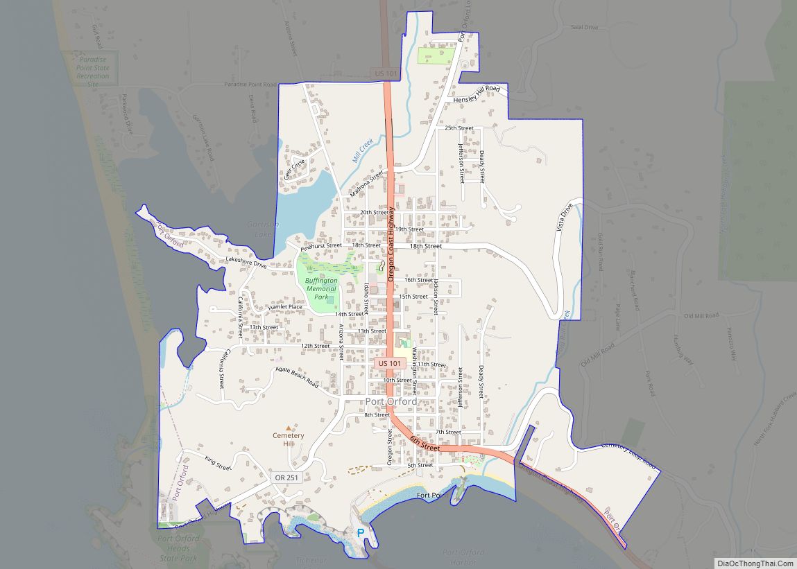
Langlois Road Map
Langlois city Satellite Map
See also
Map of Oregon State and its subdivision: Map of other states:- Alabama
- Alaska
- Arizona
- Arkansas
- California
- Colorado
- Connecticut
- Delaware
- District of Columbia
- Florida
- Georgia
- Hawaii
- Idaho
- Illinois
- Indiana
- Iowa
- Kansas
- Kentucky
- Louisiana
- Maine
- Maryland
- Massachusetts
- Michigan
- Minnesota
- Mississippi
- Missouri
- Montana
- Nebraska
- Nevada
- New Hampshire
- New Jersey
- New Mexico
- New York
- North Carolina
- North Dakota
- Ohio
- Oklahoma
- Oregon
- Pennsylvania
- Rhode Island
- South Carolina
- South Dakota
- Tennessee
- Texas
- Utah
- Vermont
- Virginia
- Washington
- West Virginia
- Wisconsin
- Wyoming
