Long Creek is a city in Grant County, Oregon, United States. The population was 173 at the 2020 census. The city is named after John Long, a prominent miner who came to Grant County in 1862 during the Canyon City rush of that same year. Located in a high valley of the Blue Mountains, ranching has been the principal enterprise for the area. Log harvesting was slowly curtailed in the nearby Malheur National Forest until the local mill was closed in 1998.
| Name: | Long Creek city |
|---|---|
| LSAD Code: | 25 |
| LSAD Description: | city (suffix) |
| State: | Oregon |
| County: | Grant County |
| Incorporated: | 1891 |
| Elevation: | 3,754 ft (1,144 m) |
| Total Area: | 1.02 sq mi (2.65 km²) |
| Land Area: | 1.02 sq mi (2.65 km²) |
| Water Area: | 0.00 sq mi (0.00 km²) |
| Total Population: | 173 |
| Population Density: | 169.11/sq mi (65.32/km²) |
| ZIP code: | 97856 |
| Area code: | 541 |
| FIPS code: | 4143550 |
| GNISfeature ID: | 1145390 |
Online Interactive Map
Click on ![]() to view map in "full screen" mode.
to view map in "full screen" mode.
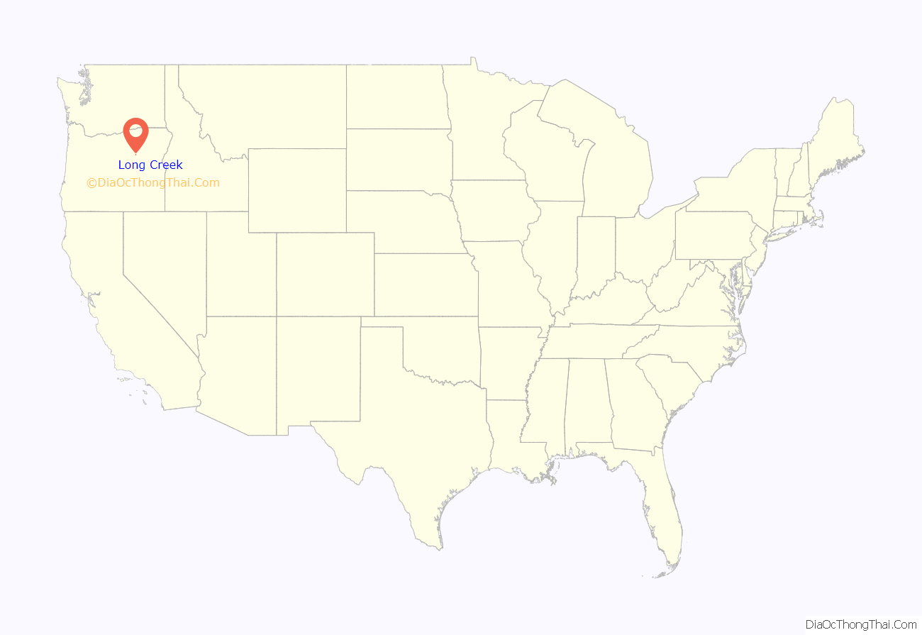
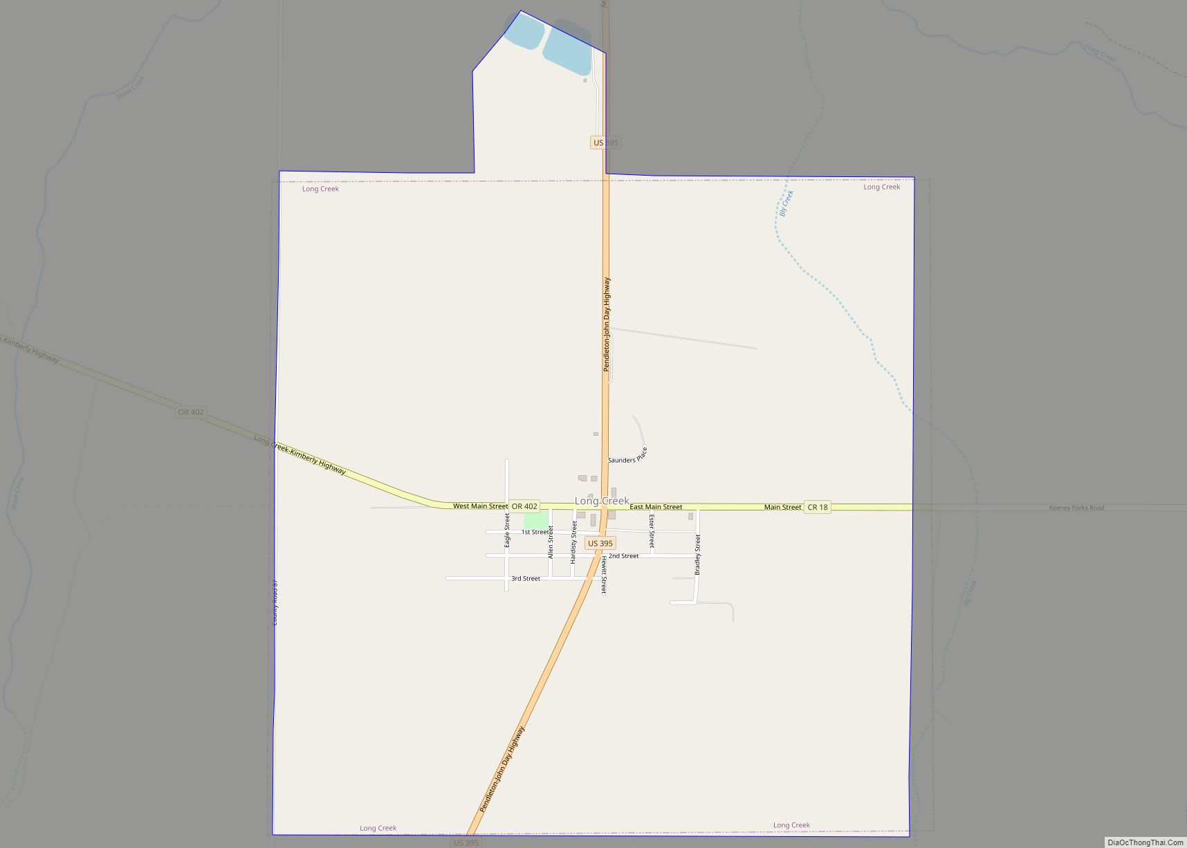
Long Creek location map. Where is Long Creek city?
History
The city was incorporated in 1891. At the 1900 census the city recorded 123 residents. Long Creek fell to 86 people in 1910, and then rebounded to 148 at 1920’s census. After dipping to 139 people in 1930, the city saw steady population growth for several decades with population numbers of 238 in 1940, 288 in 1950, and topping out at 295 residents in 1960. By 1970 the city had fallen to 196 people, and then grew back to 252 people in 1980, before dropping to 249 citizens at the 1990 census.
Long Creek Road Map
Long Creek city Satellite Map
Geography
According to the United States Census Bureau, the city has a total area of 1.02 square miles (2.64 km), all land.
Climate
This region experiences warm (but not hot) and dry summers, with no average monthly temperatures above 71.6 °F. Despite its inland location, Long Creek has an oceanic climate (Csb) according to the Köppen climate classification system. Its cold winter temperatures nearly qualify its climate as a humid continental climate (Köppen Dfb).
See also
Map of Oregon State and its subdivision: Map of other states:- Alabama
- Alaska
- Arizona
- Arkansas
- California
- Colorado
- Connecticut
- Delaware
- District of Columbia
- Florida
- Georgia
- Hawaii
- Idaho
- Illinois
- Indiana
- Iowa
- Kansas
- Kentucky
- Louisiana
- Maine
- Maryland
- Massachusetts
- Michigan
- Minnesota
- Mississippi
- Missouri
- Montana
- Nebraska
- Nevada
- New Hampshire
- New Jersey
- New Mexico
- New York
- North Carolina
- North Dakota
- Ohio
- Oklahoma
- Oregon
- Pennsylvania
- Rhode Island
- South Carolina
- South Dakota
- Tennessee
- Texas
- Utah
- Vermont
- Virginia
- Washington
- West Virginia
- Wisconsin
- Wyoming
