Lowell is a city in Lane County, in the U.S. state of Oregon. As of the 2010 census, the city population was 1,045. The city is on the north shore of Dexter Reservoir on the Middle Fork Willamette River. The most used route to Lowell is along Lowell Bridge, a covered bridge that crosses the reservoir from Oregon Route 58.
| Name: | Lowell city |
|---|---|
| LSAD Code: | 25 |
| LSAD Description: | city (suffix) |
| State: | Oregon |
| County: | Lane County |
| Incorporated: | 1954 |
| Elevation: | 742 ft (226.2 m) |
| Total Area: | 1.18 sq mi (3.06 km²) |
| Land Area: | 0.86 sq mi (2.24 km²) |
| Water Area: | 0.32 sq mi (0.82 km²) |
| Total Population: | 1,196 |
| Population Density: | 1,382.66/sq mi (533.68/km²) |
| ZIP code: | 97452 |
| Area code: | 541 and 458 |
| FIPS code: | 4144050 |
| GNISfeature ID: | 1123549 |
| Website: | www.ci.lowell.or.us |
Online Interactive Map
Click on ![]() to view map in "full screen" mode.
to view map in "full screen" mode.
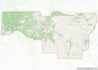
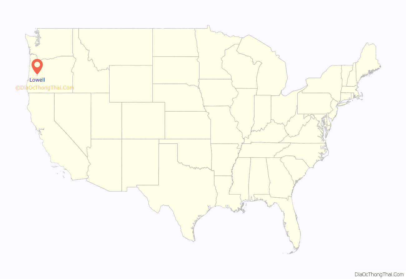
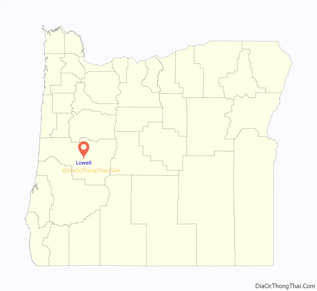
Lowell location map. Where is Lowell city?
History
A post office called Lowell has been in operation since 1883. The city was named after Lowell, Maine.
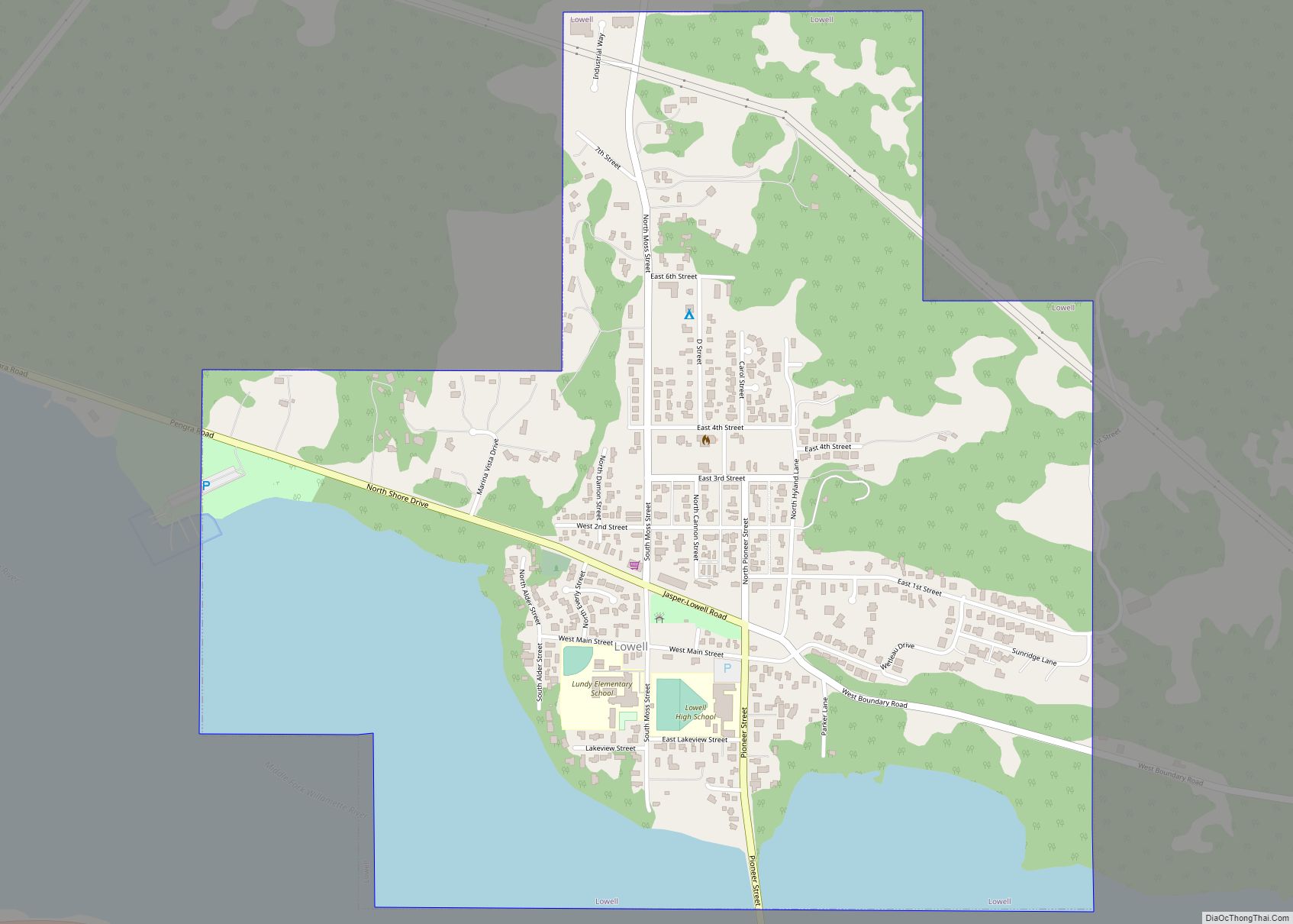
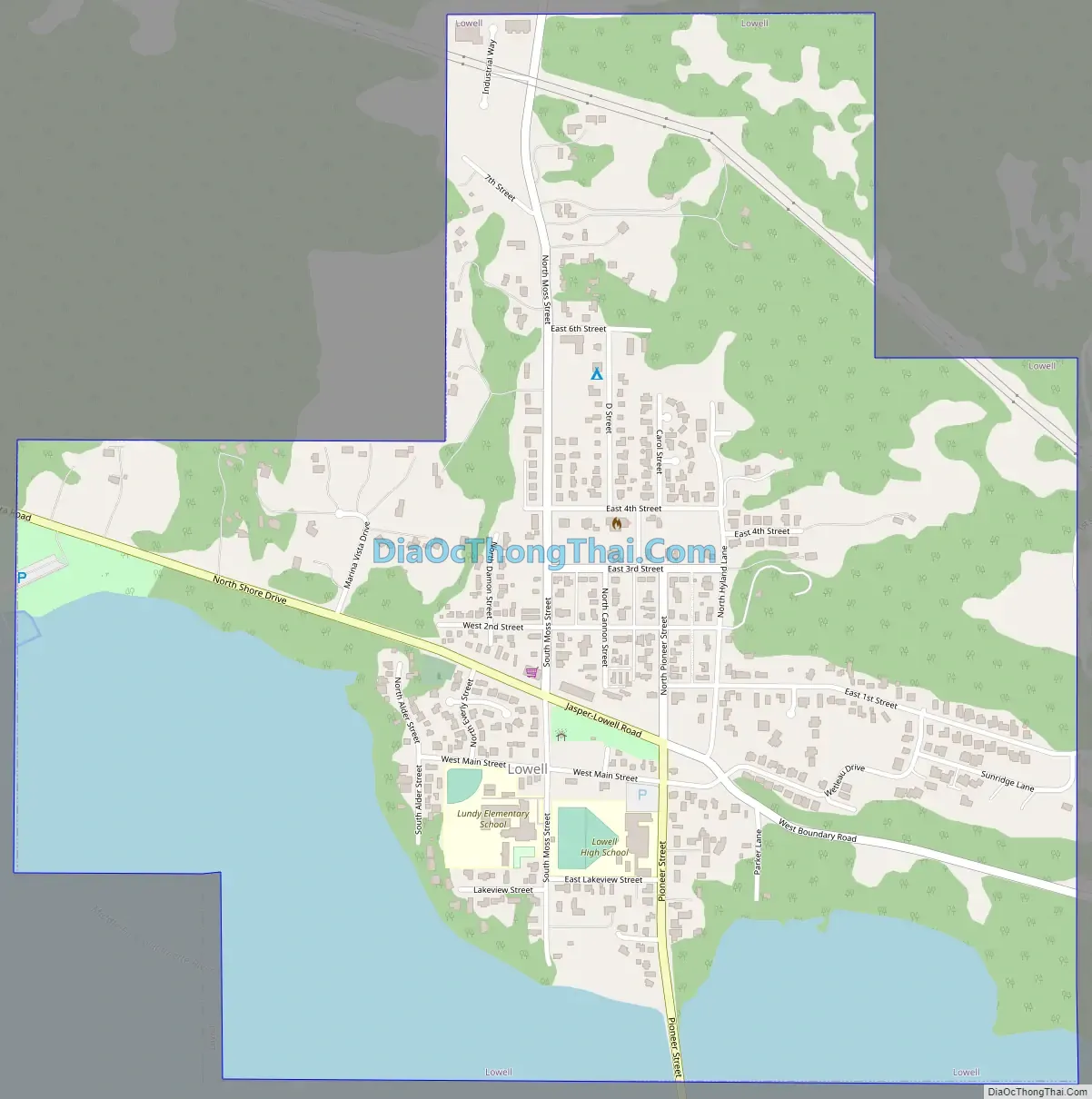
Lowell Road Map
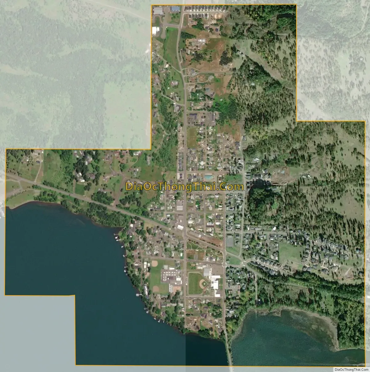
Lowell city Satellite Map
Geography
According to the United States Census Bureau, the city has a total area of 1.19 square miles (3.08 km), of which, 0.87 square miles (2.25 km) is land and 0.32 square miles (0.83 km) is water. The town of Lowell is surrounded by three reservoirs, respectively Dexter, Lookout Point, and Fall Creek. This makes the town a popular recreation area for people from Eugene and Springfield.
Climate
The climate of Lowell differs slightly from that of Eugene, which is at lower elevation. Lowell receives 8 inches (20 cm) more of rain and 2 inches (51 mm) more of snow per year than Eugene. In central Lane County, that two inches is significant considering the lack of snow. The higher areas of the town receive more snow and rain as well. Wedged among three reservoirs, it experiences thick winter fog.
See also
Map of Oregon State and its subdivision: Map of other states:- Alabama
- Alaska
- Arizona
- Arkansas
- California
- Colorado
- Connecticut
- Delaware
- District of Columbia
- Florida
- Georgia
- Hawaii
- Idaho
- Illinois
- Indiana
- Iowa
- Kansas
- Kentucky
- Louisiana
- Maine
- Maryland
- Massachusetts
- Michigan
- Minnesota
- Mississippi
- Missouri
- Montana
- Nebraska
- Nevada
- New Hampshire
- New Jersey
- New Mexico
- New York
- North Carolina
- North Dakota
- Ohio
- Oklahoma
- Oregon
- Pennsylvania
- Rhode Island
- South Carolina
- South Dakota
- Tennessee
- Texas
- Utah
- Vermont
- Virginia
- Washington
- West Virginia
- Wisconsin
- Wyoming