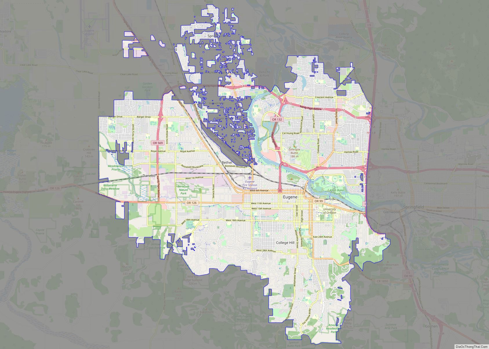
Springfield is a city in Lane County, Oregon, United States. Located in the Southern Willamette Valley, it is within the Eugene-Springfield Metropolitan Statistical Area. Separated from Eugene to the west, mainly by Interstate 5, Springfield is the second-most populous city in the metropolitan area after Eugene. As of the 2020 census, the city has a total population of 61,851.
The Briggs family first settled the Springfield area, arriving in 1848. The community was incorporated as a city in 1885. The city was named after a natural spring located in a field or prairie within the current city boundaries. For the majority of the 20th century, the economy of Springfield was largely dependent on the Oregon timber industry; since the 1990s, however, the economy has diversified, with PeaceHealth now the largest employer in the city. Public education in the city is provided by the Springfield School District.
| Name: | Springfield city |
|---|---|
| LSAD Code: | 25 |
| LSAD Description: | city (suffix) |
| State: | Oregon |
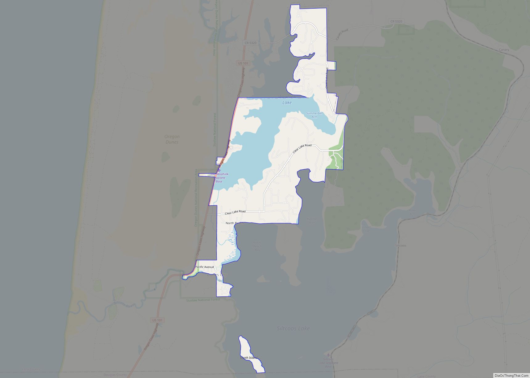
| County: | Lane County |
| Incorporated: | 1885 |
| Elevation: | 454 ft (138.4 m) |
| Total Area: | 15.87 sq mi (41.10 km²) |
| Land Area: | 15.87 sq mi (41.10 km²) |
| Water Area: | 0.00 sq mi (0.00 km²) |
| Total Population: | 61,851 |
| Population Density: | 3,897.84/sq mi (1,504.99/km²) |
| ZIP code: | 97475, 97477, 97478, 97482 |
| Area code: | 458 and 541 |
| FIPS code: | 4169600 |
| GNISfeature ID: | 1127456 |
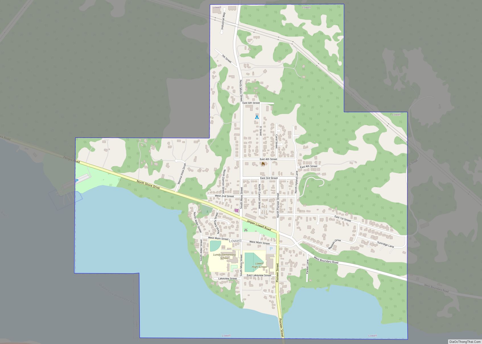
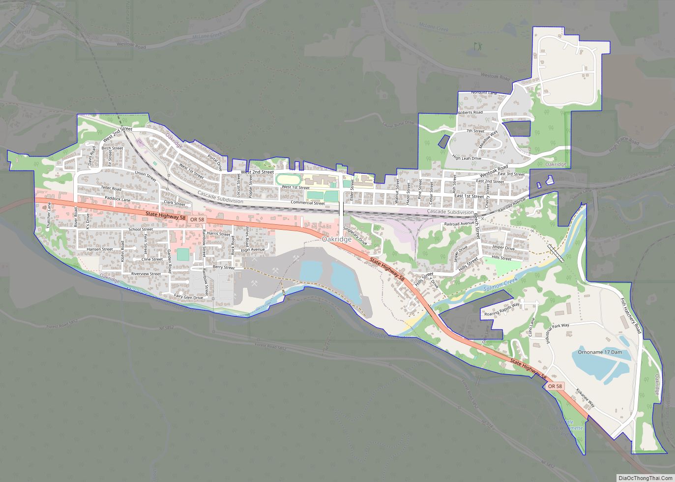
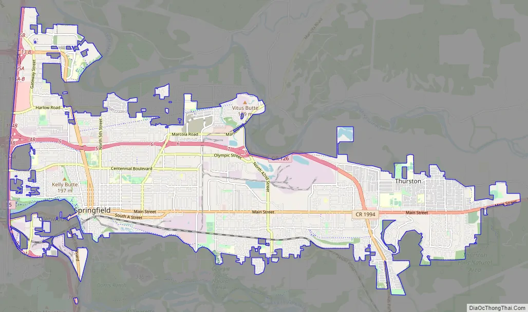
Online Interactive Map
Click on ![]() to view map in "full screen" mode.
to view map in "full screen" mode.
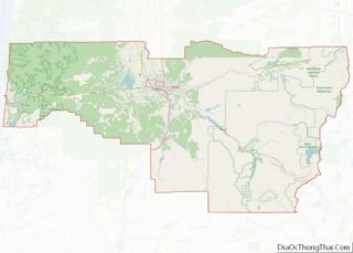
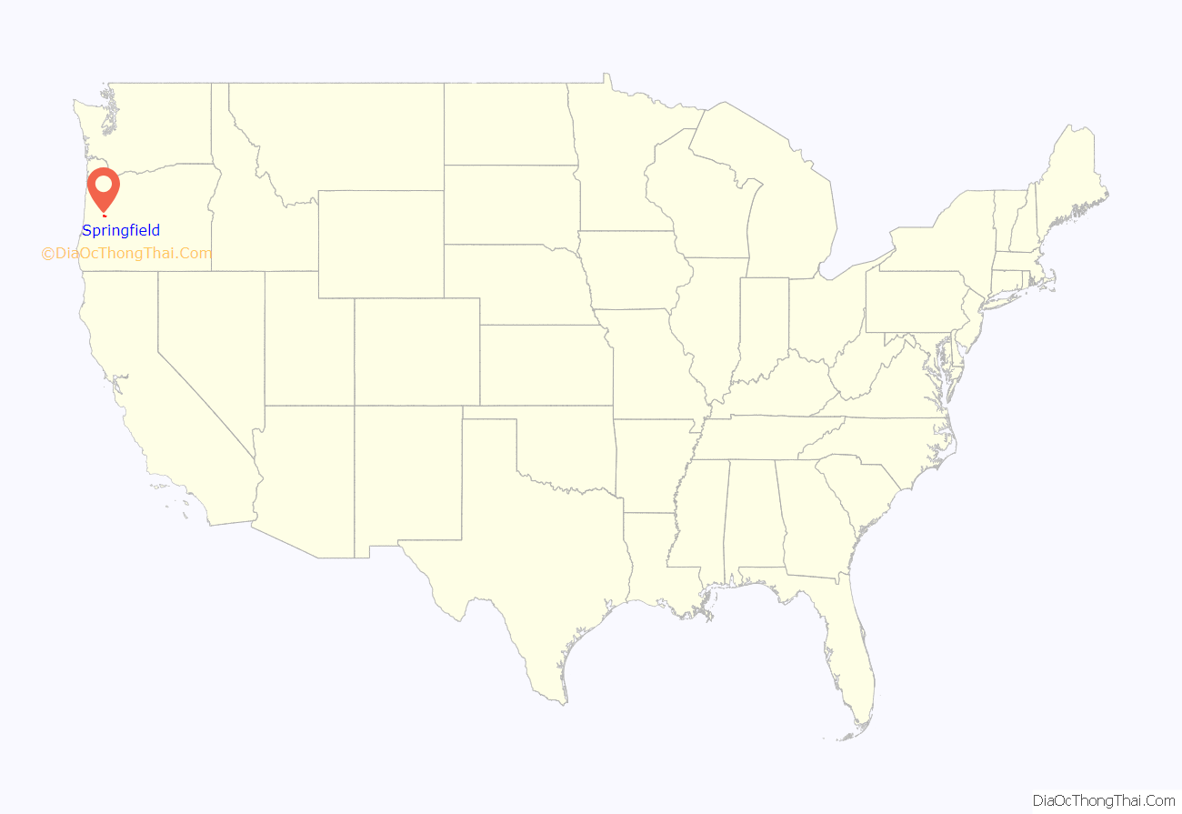
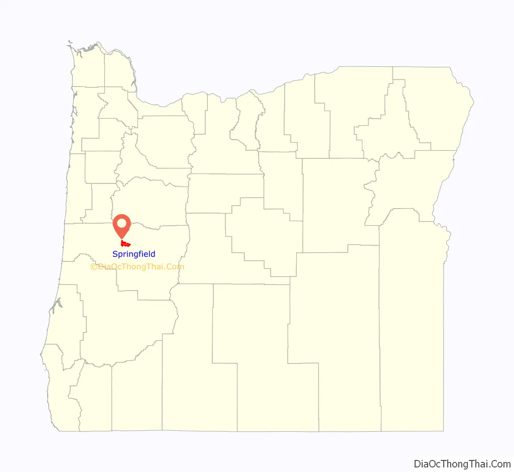
Springfield location map. Where is Springfield city?
History
The first inhabitants to the area were the Kalapuya people. Also sometimes written as Calapooia or Calapooya, the people maintained the valley and their main food sources by controlled burning.
Springfield was settled when Elias and Mary Briggs and their family arrived in 1848. They were among the first party to travel to the region via the “Southern Route” by Klamath Lake, over the Cascades, into the Rogue Valley, then north to the Willamette Valley. Elias Briggs along with William Stevens ran a ferry on the nearby Willamette River.
According to donation land claim records, Stevens was the first settler to stake a claim in the Springfield locale, arriving in October 1847. He commenced building a house with his three oldest sons, and when the house was completed in December, the rest of his family joined him on Christmas Day that year.
Another early arrival in the Springfield vicinity was Captain Felix Scott, Sr. who settled between the McKenzie and Willamette rivers in 1847.
In 1854 Springfield School District No. 19 was formed. A small schoolhouse was built near the corner of south 7th and B streets; it served the community until the 1880s. Miss Agnes Stewart, a young woman from Pennsylvania, was the first teacher. She had arrived in Springfield via the Lost Wagon Train of 1853.
In May 1992 the municipality became the first in the United States to include anti-gay legislation in its city charter after a campaign by the Oregon Citizens Alliance. However, the state legislature later passed a law that prevented anti-gay ordinances from being enforced.
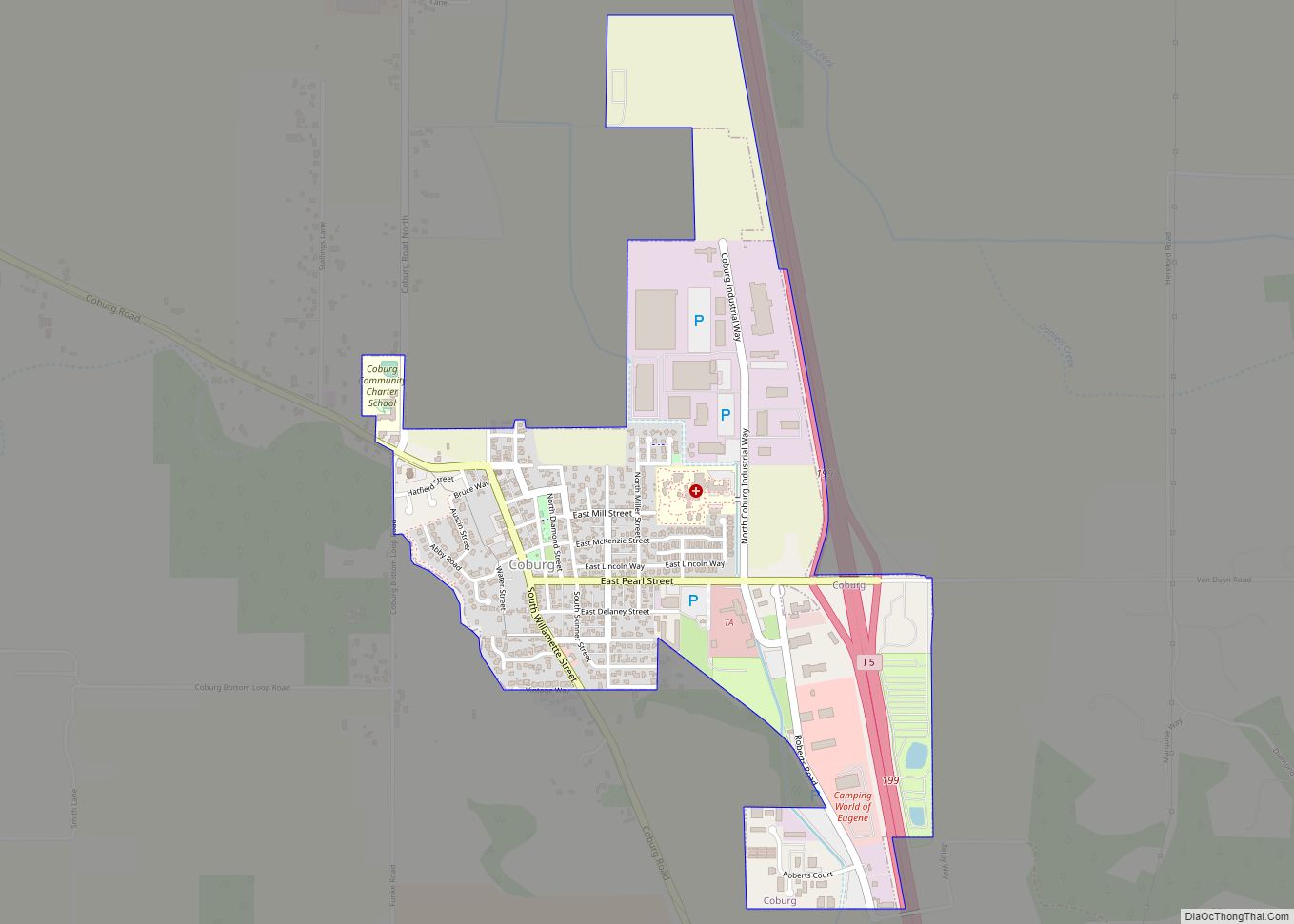
Springfield Road Map
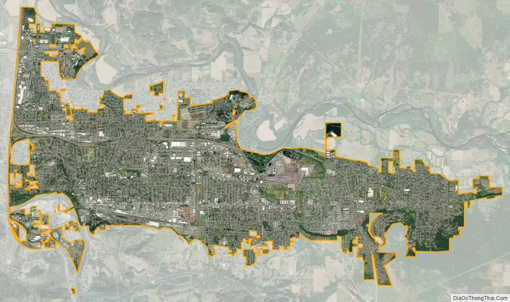
Springfield city Satellite Map
Geography
According to the United States Census Bureau, the city has a total area of 15.75 sq mi (40.79 km), of which, 15.74 sq mi (40.77 km) is land and 0.01 sq mi (0.03 km) is water.
The McKenzie River forms the northern city limits.
Neighborhoods
Springfield does not have any official neighborhood designations. Unofficial neighborhood areas include:
- Gateway
- Glenwood
- North Springfield
- Thurston
- Washburne Historic District, listed on the National Register of Historic Places
- Meadow Park
- Kelly Butte
- West Kelly Butte
See also
Map of Oregon State and its subdivision: Map of other states:- Alabama
- Alaska
- Arizona
- Arkansas
- California
- Colorado
- Connecticut
- Delaware
- District of Columbia
- Florida
- Georgia
- Hawaii
- Idaho
- Illinois
- Indiana
- Iowa
- Kansas
- Kentucky
- Louisiana
- Maine
- Maryland
- Massachusetts
- Michigan
- Minnesota
- Mississippi
- Missouri
- Montana
- Nebraska
- Nevada
- New Hampshire
- New Jersey
- New Mexico
- New York
- North Carolina
- North Dakota
- Ohio
- Oklahoma
- Oregon
- Pennsylvania
- Rhode Island
- South Carolina
- South Dakota
- Tennessee
- Texas
- Utah
- Vermont
- Virginia
- Washington
- West Virginia
- Wisconsin
- Wyoming