Moro is a city in Sherman County, Oregon, United States. The population was 324 at the 2010 census. It is the county seat of Sherman County It’s currently the least-populous county seat in Oregon. Moro was incorporated on February 17, 1899, by the Oregon Legislative Assembly. It was named for Moro, Illinois.
| Name: | Moro city |
|---|---|
| LSAD Code: | 25 |
| LSAD Description: | city (suffix) |
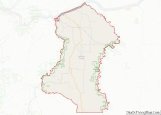
| State: | Oregon |
| County: | Sherman County |
| Incorporated: | 1899 |
| Elevation: | 1,799 ft (548.34 m) |
| Total Area: | 0.50 sq mi (1.28 km²) |
| Land Area: | 0.50 sq mi (1.28 km²) |
| Water Area: | 0.00 sq mi (0.00 km²) |
| Total Population: | 367 |
| Population Density: | 739.92/sq mi (285.69/km²) |
| ZIP code: | 97039 |
| Area code: | 541 |
| FIPS code: | 4150000 |
| GNISfeature ID: | 1124367 |
| Website: | www.cityofmoro.net |
Online Interactive Map
Click on ![]() to view map in "full screen" mode.
to view map in "full screen" mode.
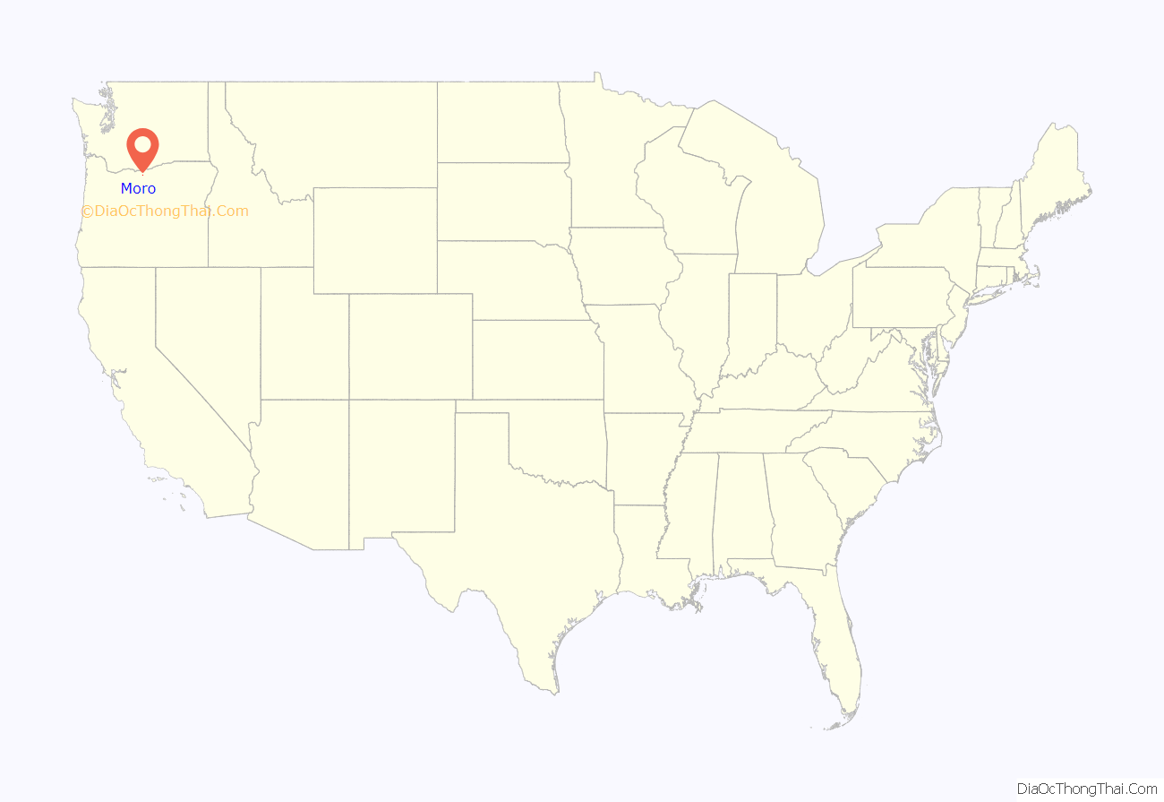
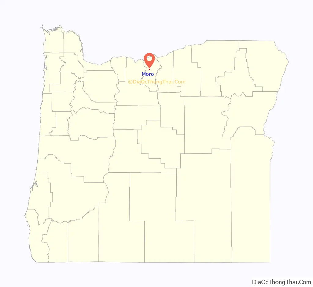
Moro location map. Where is Moro city?
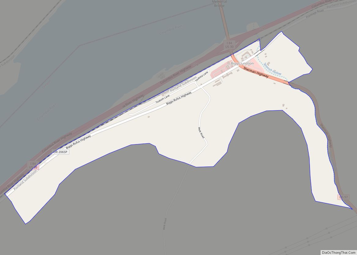
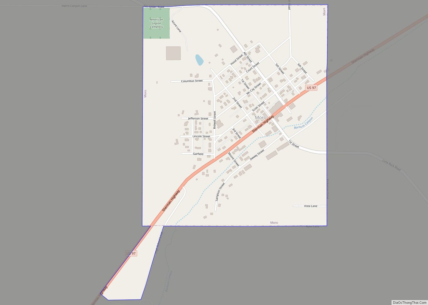
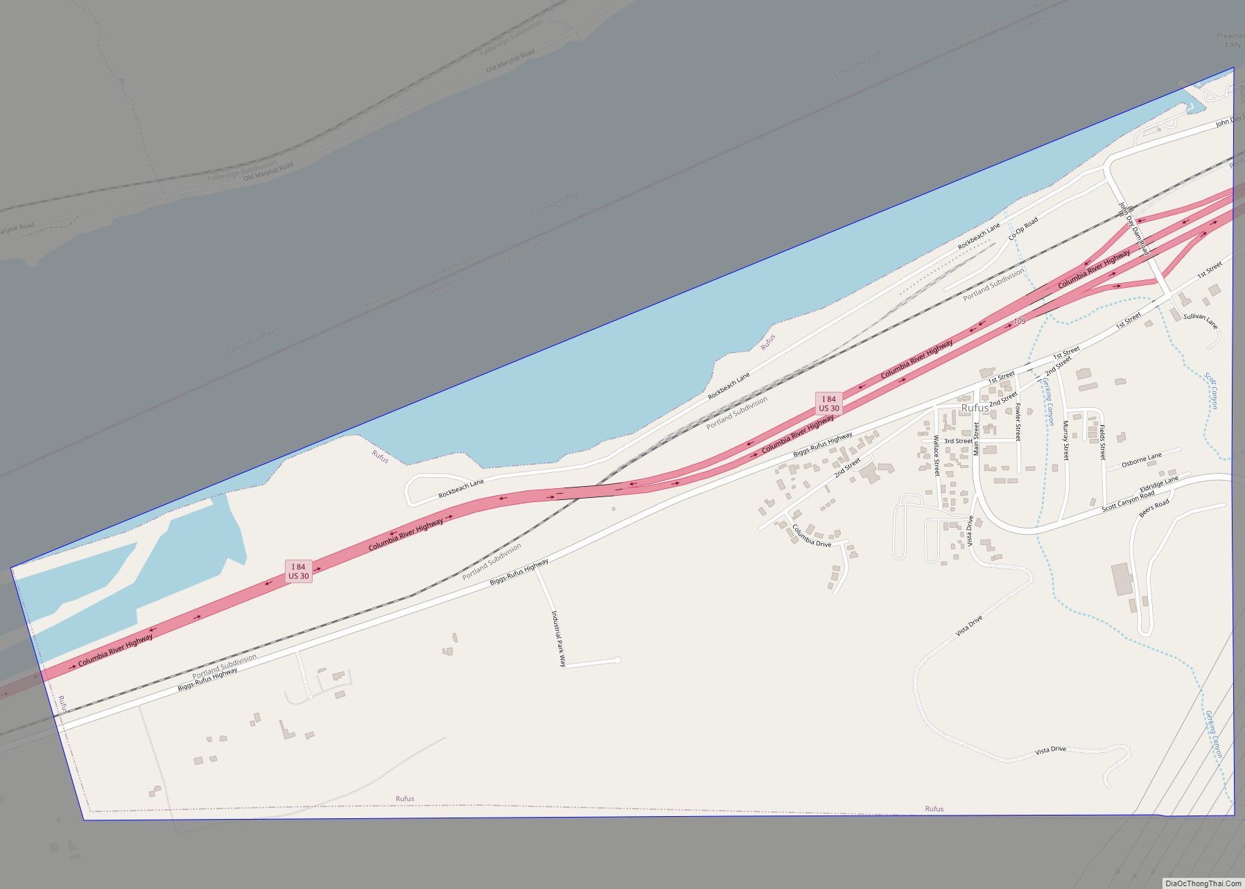
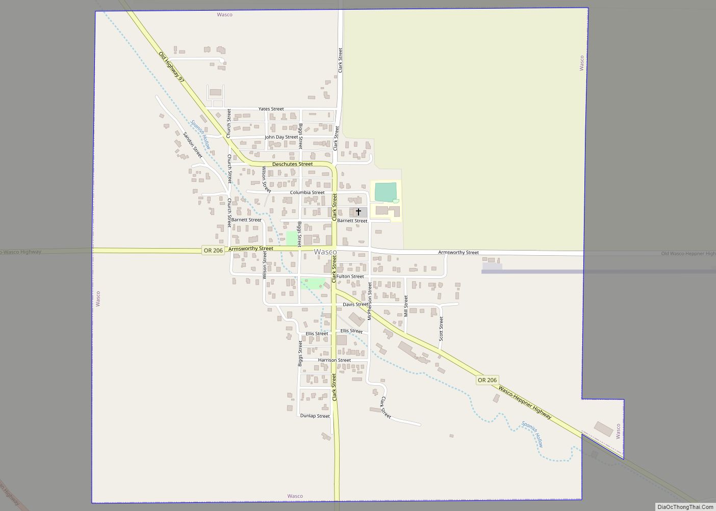
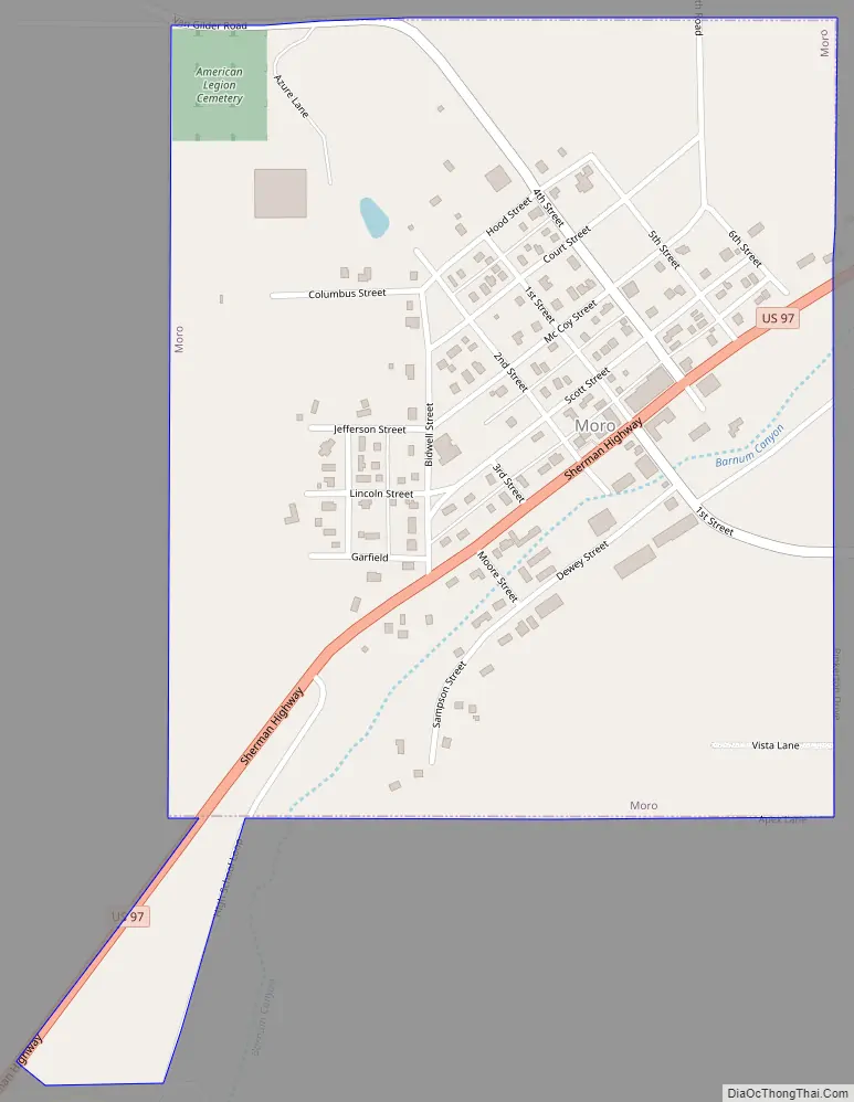
Moro Road Map
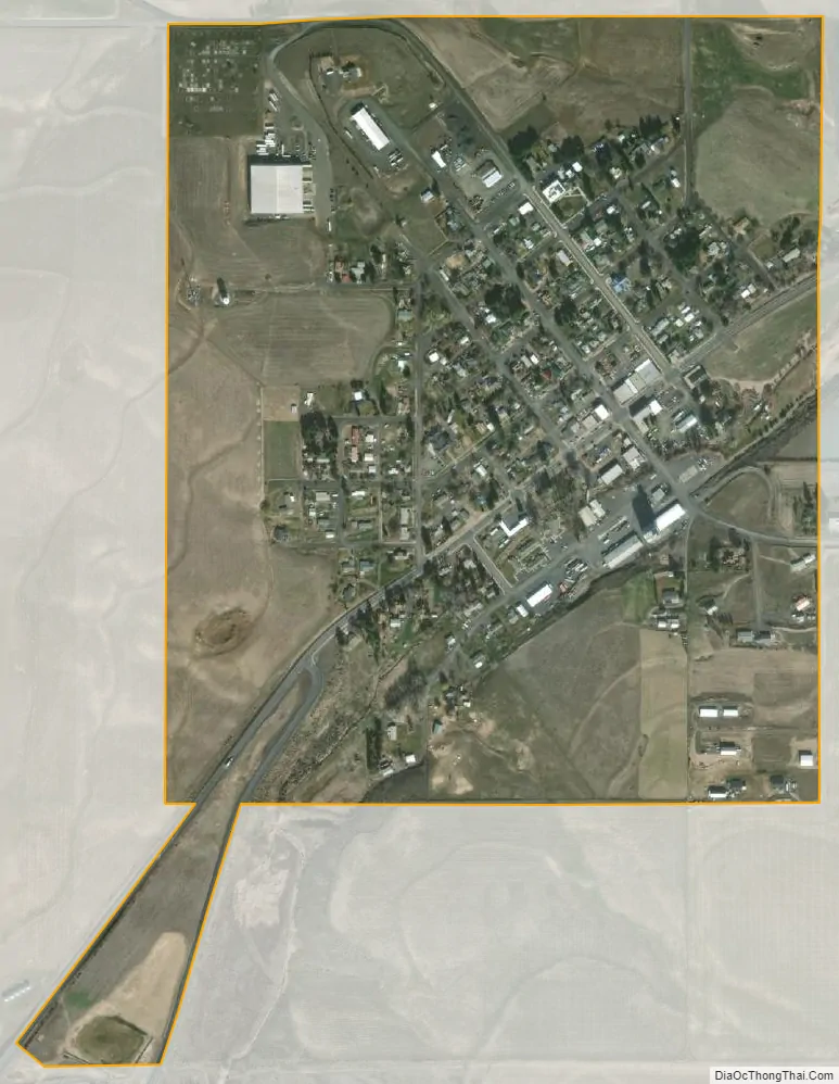
Moro city Satellite Map
Geography
According to the United States Census Bureau, the city has a total area of 0.49 square miles (1.27 km), all of it land.
Moro has a Mediterranean climate (Köppen Csb) with hot, dry summers with cool mornings, and chilly, wetter winters. During the summer, afternoons are very warm to hot and generally very clear: the median rainfall is only 0.11 inches or 2.8 millimetres in August and 0.13 inches or 3.3 millimetres in July, and more than one-fifth of months in this period have no more than a trace of rain. Between June 15 and September 18 of 1932 there were ninety-six days without even a trace of rainfall. Temperatures will reach 90 °F or 32.2 °C on an average of twenty afternoons, though 100 °F or 37.8 °C can be expected only twice each year. The hottest temperature on record has been 111 °F (43.9 °C) on July 27 of 1939. Summer mornings are comfortable: as early as August 29, 1980 temperatures of 31 °F (−0.6 °C) were reported. Winters are cold if not usually severe: maxima top freezing on all but twenty afternoons and only two mornings each winter will fall to or below 0 °F or −17.8 °C, with the coldest temperature being −22 °F (−30 °C) on January 26 and 27 of 1957, and the coldest maximum temperature −7 °F (−21.7 °C) on December 31, 1968. By the middle of spring afternoon temperatures are typically extremely pleasant at around 60 °F or 16 °C, but mornings remain chilly well into spring and the last freeze can be expected around May 7.
Precipitation is very low due to the rain shadow of the Cascades and the valley location, being around 4 inches or 100 millimetres lower than even the driest areas in the Olympic rain shadow like Sequim. The wettest month on record has been December 1964 with 6.11 inches (155.2 mm), but no other month has passed 5 inches or 127.0 millimetres. The wettest “rain year” has been from July 1947 to June 1948 with 17.51 inches (444.8 mm) and the driest from July 1967 to June 1968 with 5.49 inches (139.4 mm), whilst he most precipitation in one day has been 1.67 inches (42.4 mm) on January 9, 1953.
Snowfall averages 17 inches or 0.43 metres, but varies greatly between years: in January 1950 54.4 inches (1.38 m) fell and led to a total of 65 inches (1.65 m) for the full season, but in many years there is little snow – there was only a trace of snowfall between July 1957 and June 1958, only 2.6 inches (0.066 m) between July 2002 and June 2003, and 3.0 inches (0.076 m) between July 1976 and June 1977.
See also
Map of Oregon State and its subdivision: Map of other states:- Alabama
- Alaska
- Arizona
- Arkansas
- California
- Colorado
- Connecticut
- Delaware
- District of Columbia
- Florida
- Georgia
- Hawaii
- Idaho
- Illinois
- Indiana
- Iowa
- Kansas
- Kentucky
- Louisiana
- Maine
- Maryland
- Massachusetts
- Michigan
- Minnesota
- Mississippi
- Missouri
- Montana
- Nebraska
- Nevada
- New Hampshire
- New Jersey
- New Mexico
- New York
- North Carolina
- North Dakota
- Ohio
- Oklahoma
- Oregon
- Pennsylvania
- Rhode Island
- South Carolina
- South Dakota
- Tennessee
- Texas
- Utah
- Vermont
- Virginia
- Washington
- West Virginia
- Wisconsin
- Wyoming