Mount Vernon is a city in Grant County, Oregon, United States. Its post office was established in 1877 and named after a black stallion that belonged to settler David W. Jenkins. The stallion’s stable, a small stone building, is still standing in a field on the north side of U.S. Highway 26 about 2.2 miles (3.5 km) east of the main intersection in town. In 1915 the ranching community had a population of 60 and a hotel at a hot springs resort approximately 2 miles (3.2 km) north. The population had grown to 451 by the 1950 census. There are a few motels and restaurants in Mount Vernon. The population was 527 at the 2010 census.
| Name: | Mount Vernon city |
|---|---|
| LSAD Code: | 25 |
| LSAD Description: | city (suffix) |
| State: | Oregon |
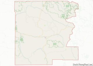
| County: | Grant County |
| Incorporated: | 1948 |
| Elevation: | 2,865 ft (873 m) |
| Total Area: | 0.68 sq mi (1.77 km²) |
| Land Area: | 0.68 sq mi (1.77 km²) |
| Water Area: | 0.00 sq mi (0.00 km²) |
| Total Population: | 548 |
| Population Density: | 802.34/sq mi (309.97/km²) |
| ZIP code: | 97865 |
| Area code: | 541 |
| FIPS code: | 4150250 |
| GNISfeature ID: | 1146532 |
Online Interactive Map
Click on ![]() to view map in "full screen" mode.
to view map in "full screen" mode.
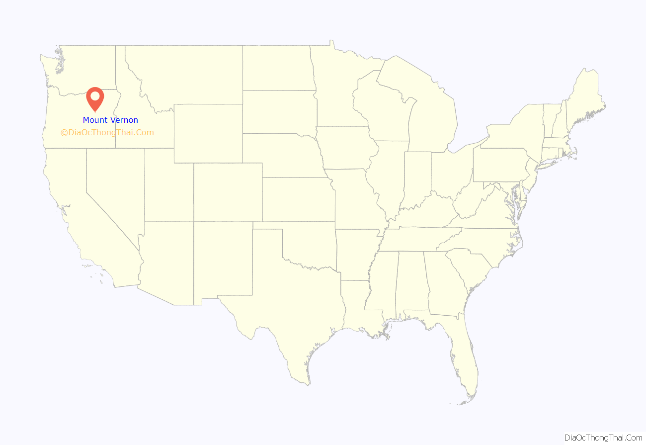
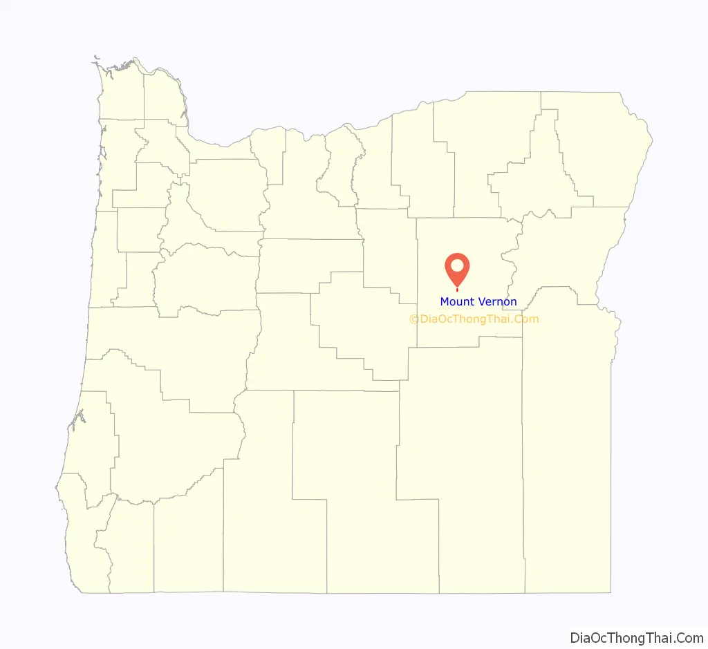
Mount Vernon location map. Where is Mount Vernon city?
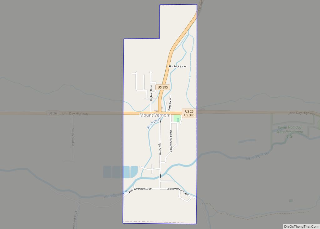
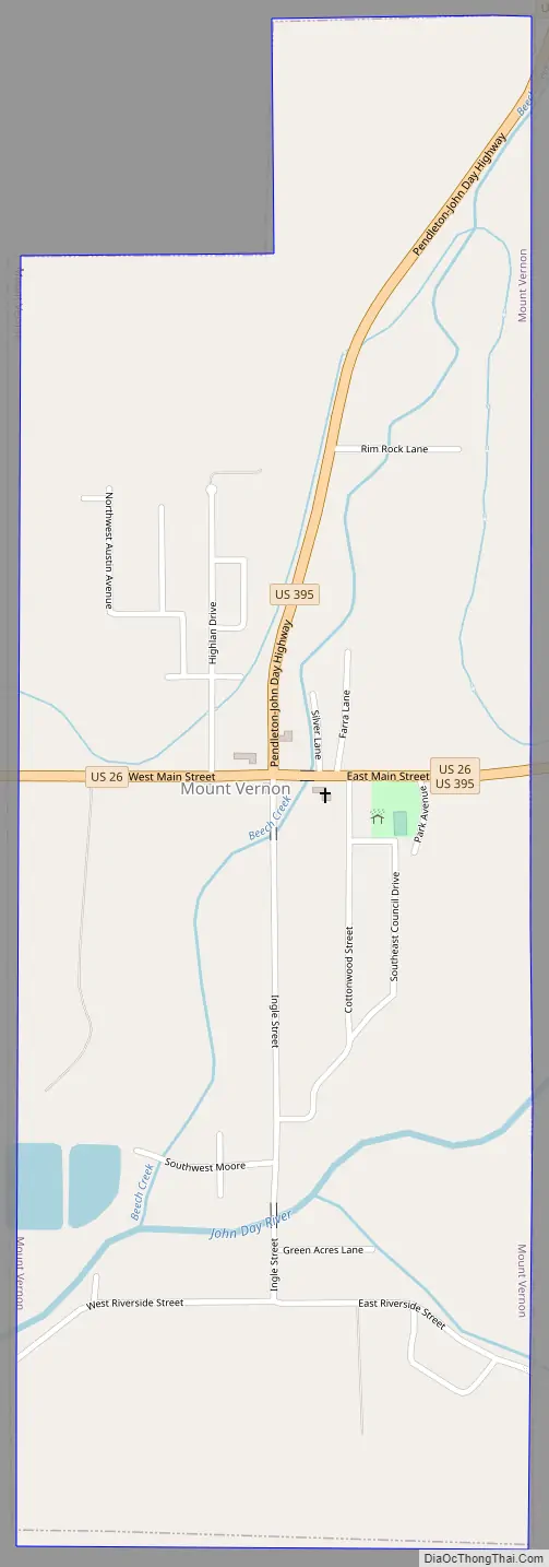
Mount Vernon Road Map
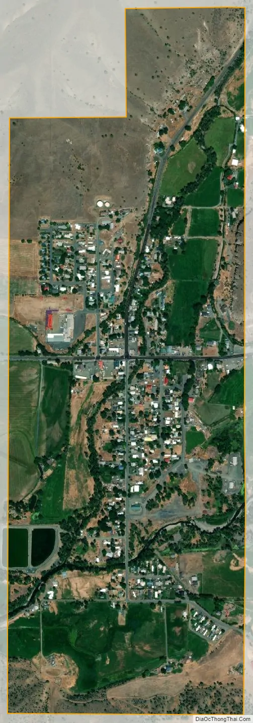
Mount Vernon city Satellite Map
Geography
According to the United States Census Bureau, the city has a total area of 0.68 square miles (1.76 km), all land. It is located along U.S. Route 26 on the John Day River about 8 miles (13 km) west of the city of John Day.
See also
Map of Oregon State and its subdivision: Map of other states:- Alabama
- Alaska
- Arizona
- Arkansas
- California
- Colorado
- Connecticut
- Delaware
- District of Columbia
- Florida
- Georgia
- Hawaii
- Idaho
- Illinois
- Indiana
- Iowa
- Kansas
- Kentucky
- Louisiana
- Maine
- Maryland
- Massachusetts
- Michigan
- Minnesota
- Mississippi
- Missouri
- Montana
- Nebraska
- Nevada
- New Hampshire
- New Jersey
- New Mexico
- New York
- North Carolina
- North Dakota
- Ohio
- Oklahoma
- Oregon
- Pennsylvania
- Rhode Island
- South Carolina
- South Dakota
- Tennessee
- Texas
- Utah
- Vermont
- Virginia
- Washington
- West Virginia
- Wisconsin
- Wyoming