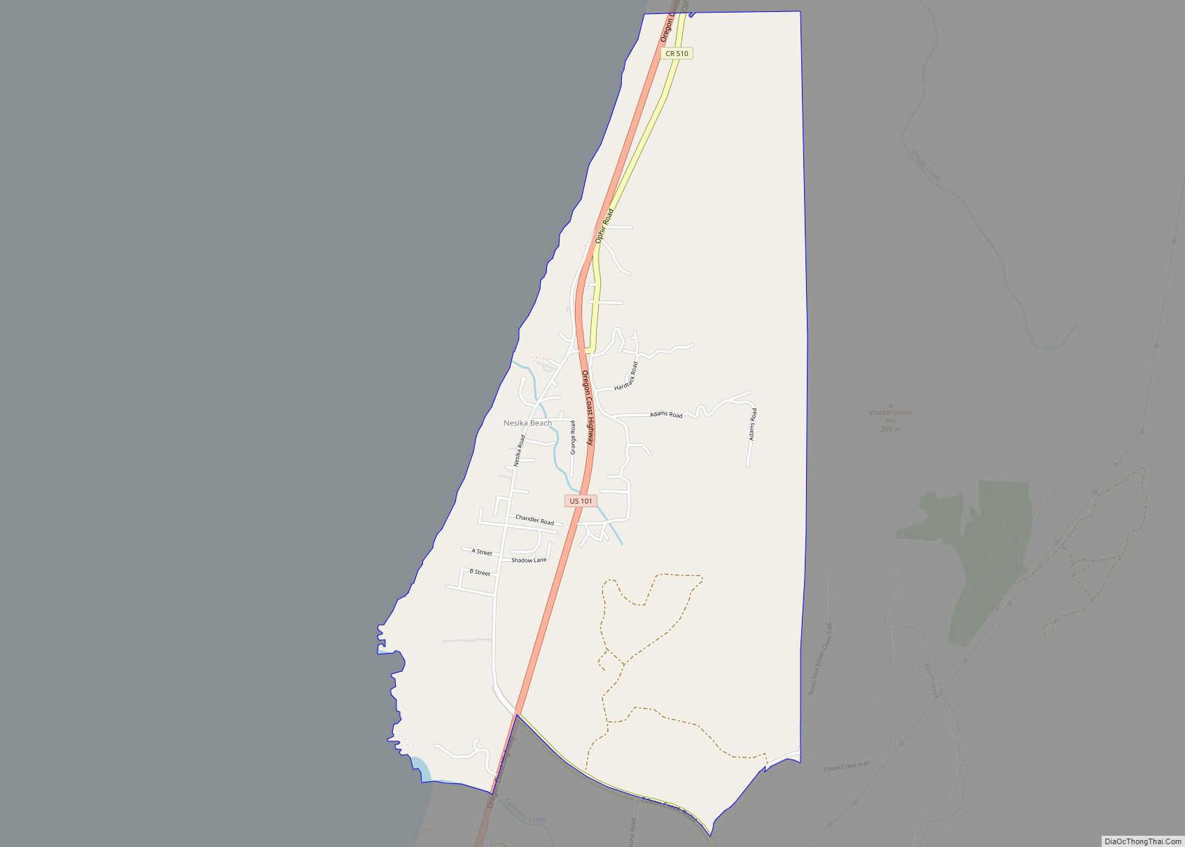
Nesika Beach is census-designated place and unincorporated community in Curry County, Oregon, United States. It is located 8 miles (13 km) north of Gold Beach on the Oregon Coast. As of the 2020 census it had a population of 432.
Nesika means “we”, “us”, or “our” in Chinook Jargon.
| Name: | Nesika Beach CDP |
|---|---|
| LSAD Code: | 57 |
| LSAD Description: | CDP (suffix) |
| State: | Oregon |
| County: | Curry County |
| Elevation: | 210 ft (60 m) |
| Total Area: | 2.28 sq mi (5.91 km²) |
| Land Area: | 2.28 sq mi (5.91 km²) |
| Water Area: | 0.00 sq mi (0.00 km²) |
| Total Population: | 432 |
| Population Density: | 189.39/sq mi (73.11/km²) |
| ZIP code: | 97444 |
| Area code: | 458 and 541 |
| FIPS code: | 4151950 |
| GNISfeature ID: | 2611770 |
Online Interactive Map
Click on ![]() to view map in "full screen" mode.
to view map in "full screen" mode.
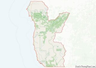
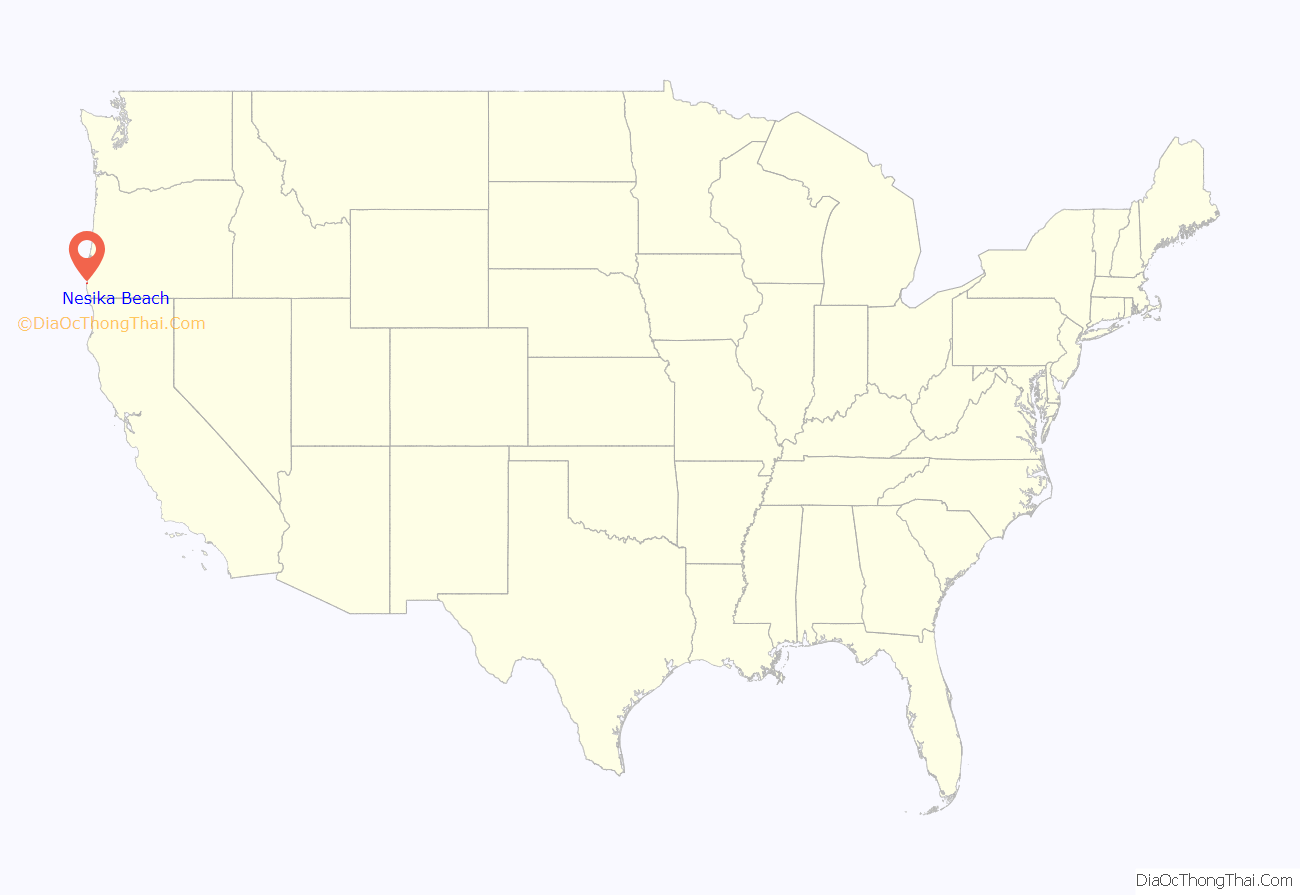
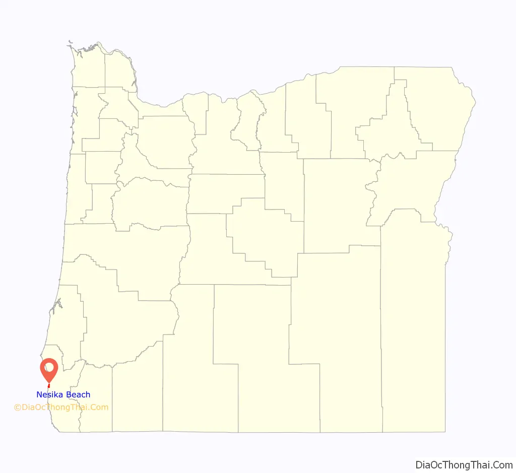
Nesika Beach location map. Where is Nesika Beach CDP?
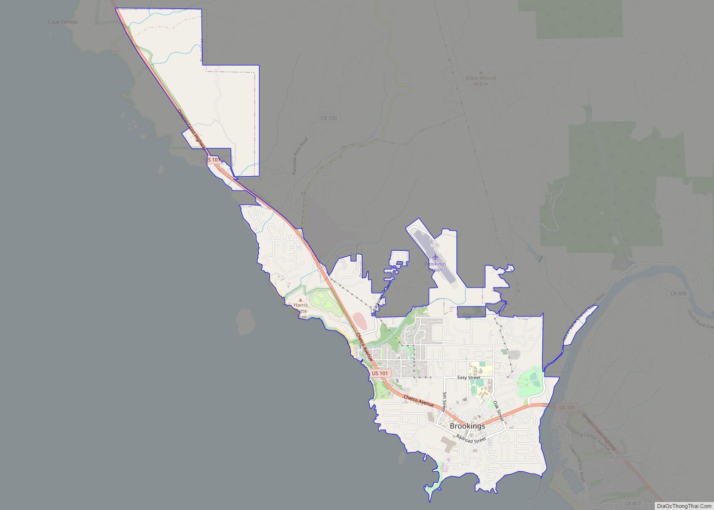
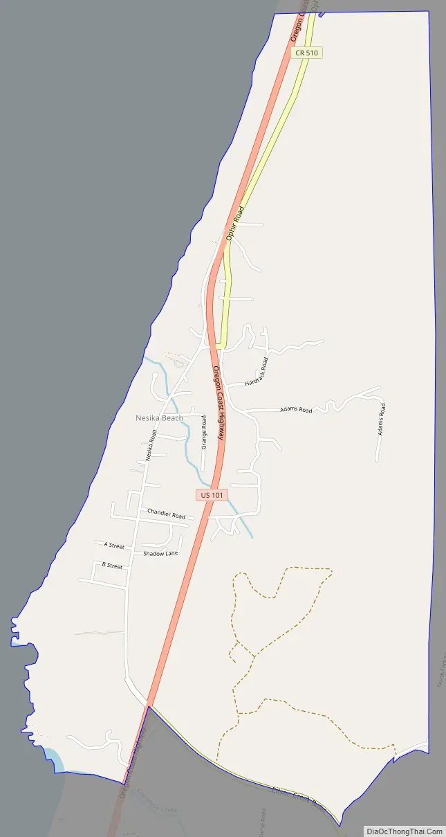
Nesika Beach Road Map
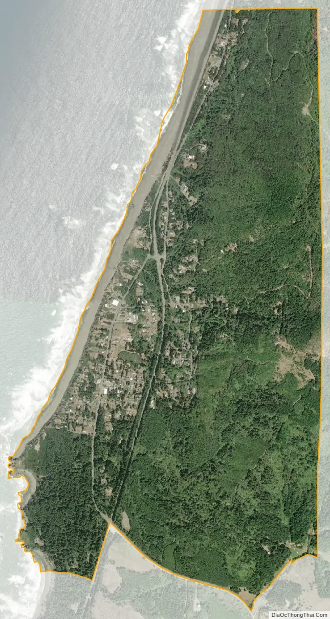
Nesika Beach city Satellite Map
See also
Map of Oregon State and its subdivision: Map of other states:- Alabama
- Alaska
- Arizona
- Arkansas
- California
- Colorado
- Connecticut
- Delaware
- District of Columbia
- Florida
- Georgia
- Hawaii
- Idaho
- Illinois
- Indiana
- Iowa
- Kansas
- Kentucky
- Louisiana
- Maine
- Maryland
- Massachusetts
- Michigan
- Minnesota
- Mississippi
- Missouri
- Montana
- Nebraska
- Nevada
- New Hampshire
- New Jersey
- New Mexico
- New York
- North Carolina
- North Dakota
- Ohio
- Oklahoma
- Oregon
- Pennsylvania
- Rhode Island
- South Carolina
- South Dakota
- Tennessee
- Texas
- Utah
- Vermont
- Virginia
- Washington
- West Virginia
- Wisconsin
- Wyoming