Oakridge is a city in Lane County, Oregon, United States. The population was 3,205 as of the 2010 census. It is located east of Westfir on Oregon Route 58, about 40 miles (64 km) east of Eugene and 150 miles (240 km) southeast of Portland. Surrounded by the Willamette National Forest and the Cascade Range, Oakridge is popular with outdoor enthusiasts for its hiking, mountain biking, wildflowers, fly fishing, birding, watersports, and the nearby Willamette Pass Resort.
The city was originally a community called “Hazeldell”, and its post office was established on July 26, 1888. When a station on the Southern Pacific Railroad opened in May 1912, it was named “Oak Ridge” by a railroad executive for the surrounding topography, and on July 19 of that year the name was changed to be spelled as a single word.
The economy of Oakridge and nearby Westfir is centered on recreation. Since the lumber mills closed in the 1980s, the economy has been transitioning, with a new general store opening in 2010, a bakery in 2011, and a brewery and mercantile.
| Name: | Oakridge city |
|---|---|
| LSAD Code: | 25 |
| LSAD Description: | city (suffix) |
| State: | Oregon |
| County: | Lane County |
| Incorporated: | 1912 |
| Elevation: | 1,240 ft (380 m) |
| Total Area: | 2.18 sq mi (5.65 km²) |
| Land Area: | 2.16 sq mi (5.60 km²) |
| Water Area: | 0.02 sq mi (0.05 km²) |
| Total Population: | 3,206 |
| Population Density: | 1,482.89/sq mi (572.58/km²) |
| ZIP code: | 97463 |
| Area code: | 458 and 541 |
| FIPS code: | 4154100 |
| GNISfeature ID: | 1166689 |
| Website: | www.ci.oakridge.or.us |
Online Interactive Map
Click on ![]() to view map in "full screen" mode.
to view map in "full screen" mode.
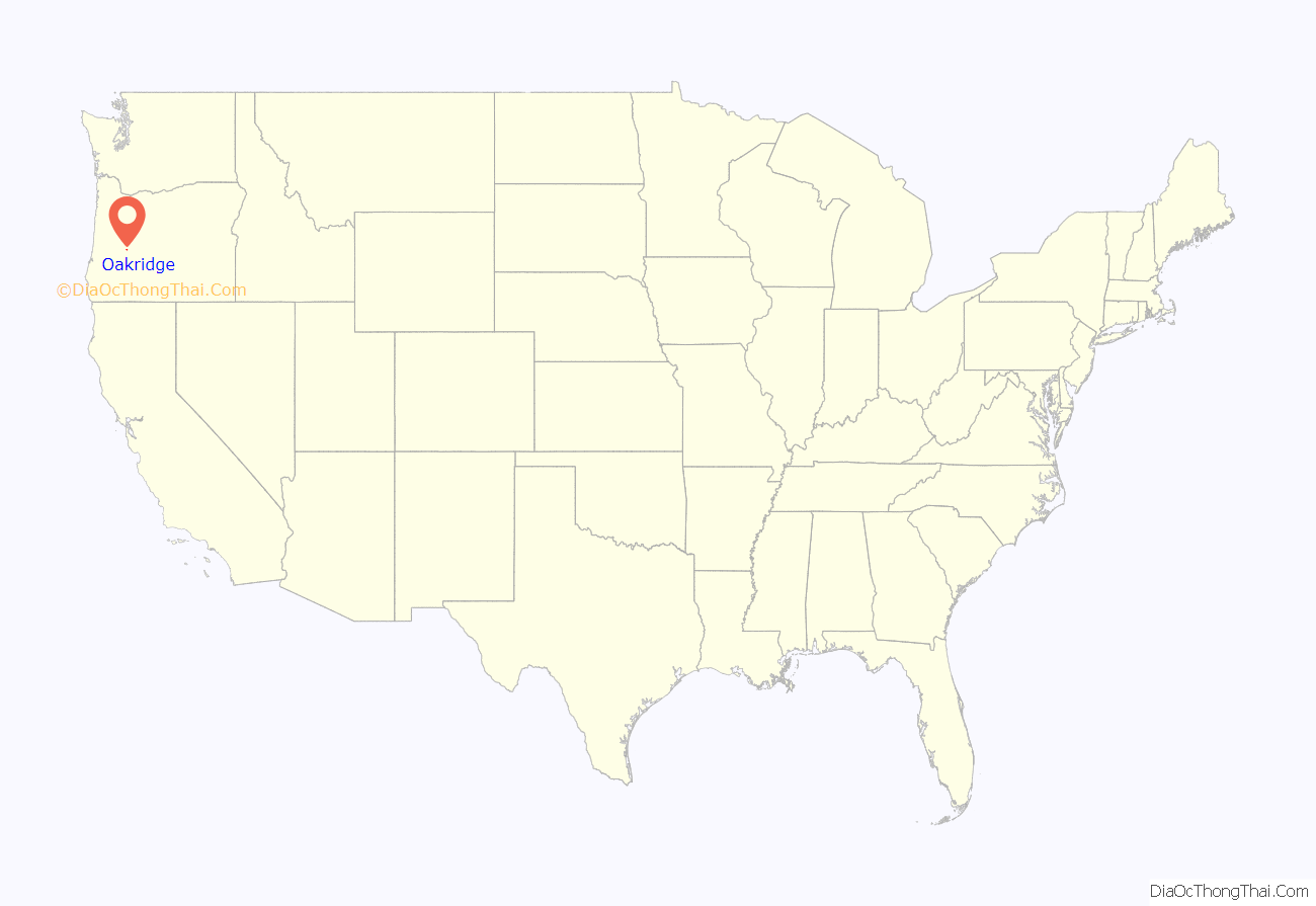
Oakridge location map. Where is Oakridge city?
History
The area now known as Oakridge was first explored by Euro-Americans in 1852 as a possible route for pioneers coming from Central Oregon to the Willamette Valley. A post office was named “Hazeldell” in 1888, and the place’s name later changed to “Big Prairie”, and then “Oak Ridge”. In 1912, a new community was formed and officially named Oakridge. Since its beginnings as a mountain ranch, Oakridge has been a railroad boomtown, a loggers’ haven, and an outdoor enthusiast’s destination.
The early boom for Oakridge can be attributed to the Southern Pacific Railroad. By 1910, work had already begun on Tunnel 22, a short route connecting Oakridge to the area now known as Westfir. Oakridge was a station on Southern Pacific’s Cascade subdivision, a line that goes over Willamette Pass via the Natron Cutoff that was built in 1926, and the railroad played an integral part of the economy and lifestyle in Oakridge. The Union Pacific Railroad still operates the rails and trains are a common sight in Oakridge. Today, Amtrak’s Coast Starlight passes through the town but does not stop.
On July 2, 1946, the Pope and Talbot Lumber Company purchased timberland near Oakridge. By 1948, the company had built a large sawmill and had begun a massive timber logging operation. While the railroad and Westfir’s Hines sawmill began to slow down, the Pope and Talbot mill expanded and eventually employed more than 500 people. The combined economic base of the railroad and sawmills accounted for the population growth of the 1960s and 1970s, when the community of Willamette City was consolidated into Oakridge. However, in 1978, the Hines mill in Westfir closed, and by 1985 the Pope and Talbot Mill had laid off all of its workers. The City of Oakridge now owns the property that formerly housed the Pope and Talbot sawmill.
In February 2019, an Amtrak Coast Starlight train was stranded near Oakridge for over 36 hours, after a rare heavy snowstorm.
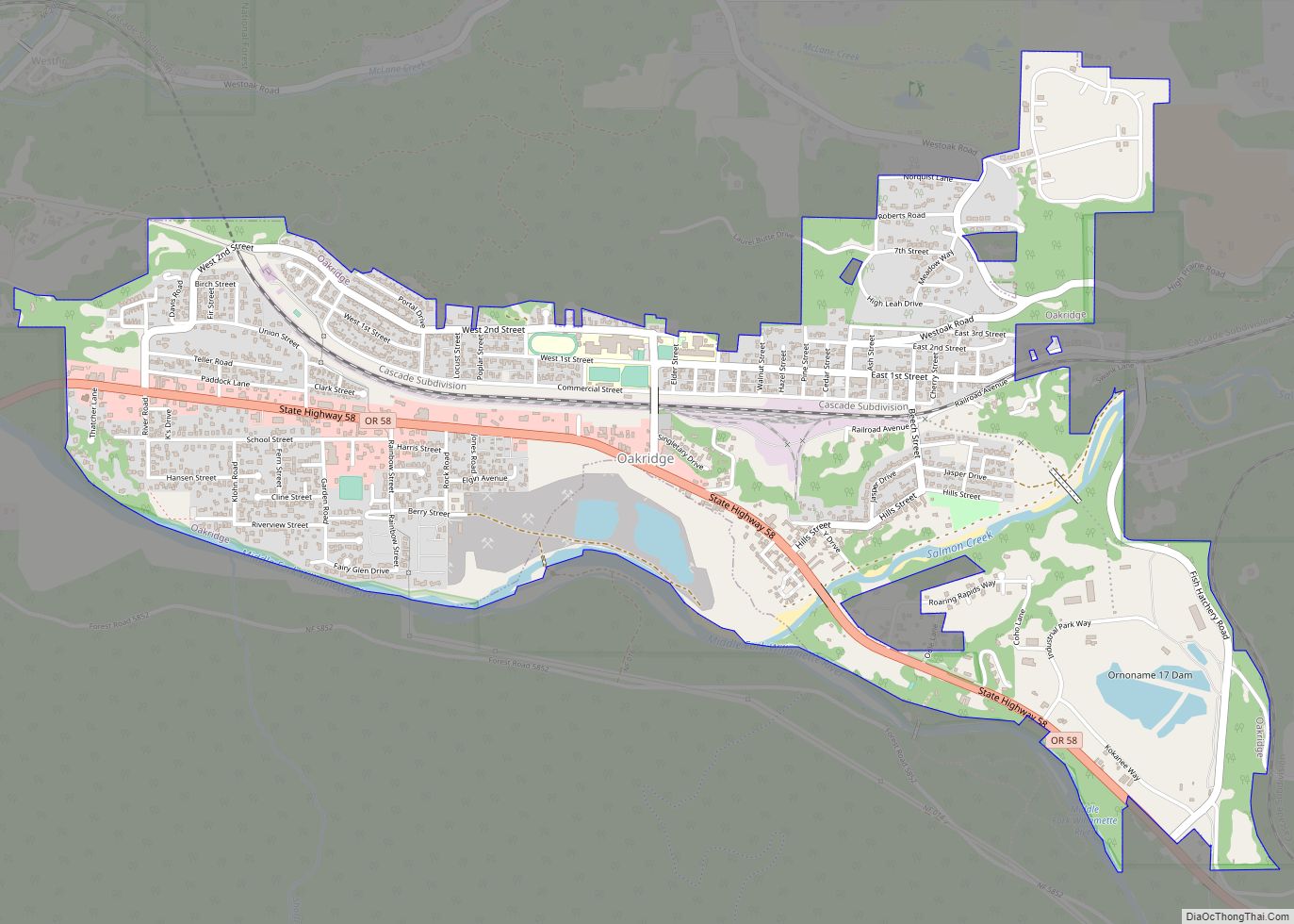
Oakridge Road Map
Oakridge city Satellite Map
Geography
Oakridge sits at an elevation ranging from 1,200 to 1,600 feet (370 to 490 m) above sea level. According to the United States Census Bureau, the city has a total area of 2.20 square miles (5.70 km), of which 2.10 square miles (5.44 km) is land and 0.10 square miles (0.26 km) is water.
Oakridge lies in a small valley in the foothills of the Cascade Range and is completely surrounded by the Willamette National Forest. Five streams are located in and around Oakridge; they are Salmon Creek, Salt Creek, Hills Creek, and the Middle and North forks of the Willamette River, the latter of which has been designated Wild and Scenic. Diamond Peak, a shield volcano located in the nearby Diamond Peak Wilderness to the southeast, can be seen from various spots in and around Oakridge. Waldo Lake, known as one of the purest lakes in the world, and Salt Creek Falls, one of the largest waterfalls in Oregon, are located about 20 miles (32 km) east of town.
Climate
This region experiences warm and dry summers, with average monthly temperatures around 71.6 °F (22.0 °C). According to the Köppen Climate Classification system, Oakridge has a warm-summer Mediterranean climate, abbreviated “Csb” on climate maps. Oakridge is located below the snow line for the Cascades making it the last stop from Eugene on Highway 58 where chains are not necessary.
See also
Map of Oregon State and its subdivision: Map of other states:- Alabama
- Alaska
- Arizona
- Arkansas
- California
- Colorado
- Connecticut
- Delaware
- District of Columbia
- Florida
- Georgia
- Hawaii
- Idaho
- Illinois
- Indiana
- Iowa
- Kansas
- Kentucky
- Louisiana
- Maine
- Maryland
- Massachusetts
- Michigan
- Minnesota
- Mississippi
- Missouri
- Montana
- Nebraska
- Nevada
- New Hampshire
- New Jersey
- New Mexico
- New York
- North Carolina
- North Dakota
- Ohio
- Oklahoma
- Oregon
- Pennsylvania
- Rhode Island
- South Carolina
- South Dakota
- Tennessee
- Texas
- Utah
- Vermont
- Virginia
- Washington
- West Virginia
- Wisconsin
- Wyoming
