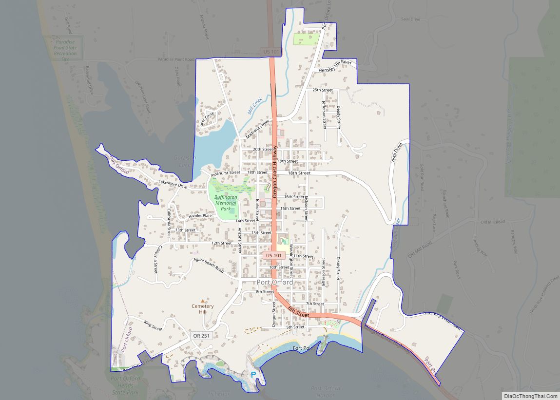
Port Orford (Tolowa: tr’ee-ghi~’- ’an’ ) is a city in Curry County on the southern coast of Oregon, United States. The population was 1,133 at the 2010 census.
The city takes its name from George Vancouver’s original name for nearby Cape Blanco, which he named for George, Earl of Orford, “a much-respected friend.”
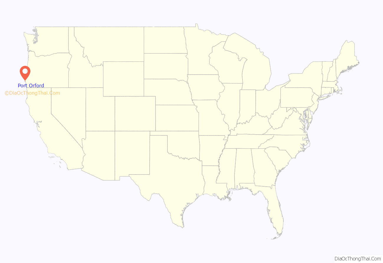
Port Orford is the westernmost settlement in the state of Oregon, and the westernmost incorporated place in the 48 contiguous states.
| Name: | Port Orford city |
|---|---|
| LSAD Code: | 25 |
| LSAD Description: | city (suffix) |
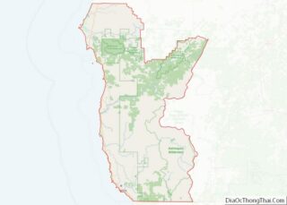
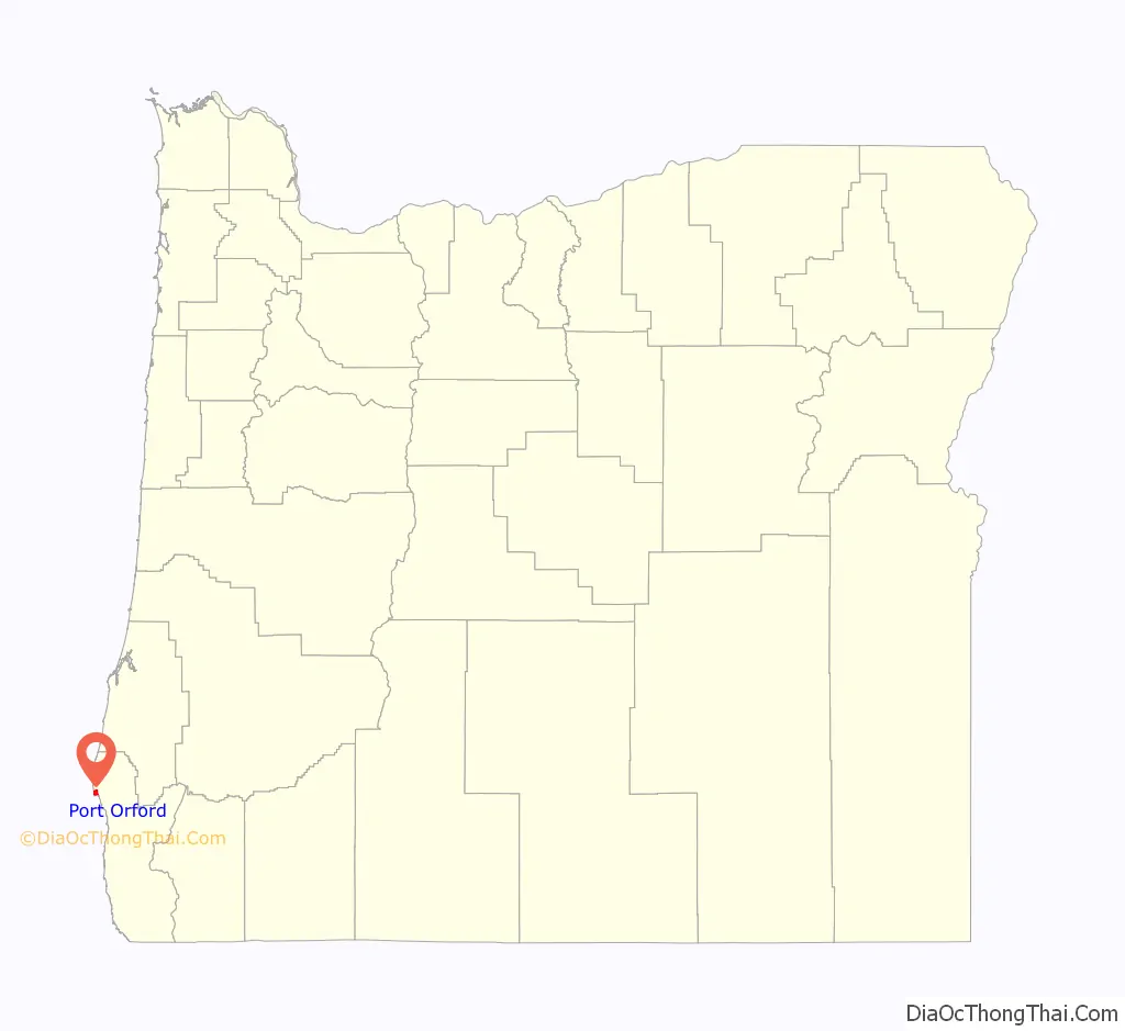
| State: | Oregon |
| County: | Curry County |
| Incorporated: | 1911 |
| Elevation: | 43 ft (13 m) |
| Total Area: | 1.60 sq mi (4.15 km²) |
| Land Area: | 1.56 sq mi (4.04 km²) |
| Water Area: | 0.05 sq mi (0.12 km²) |
| Total Population: | 1,146 |
| Population Density: | 735.09/sq mi (283.90/km²) |
| ZIP code: | 97465 |
| Area code: | 541 |
| FIPS code: | 4159250 |
| GNISfeature ID: | 2411467 |
| Website: | www.portorford.org |
Online Interactive Map
Click on ![]() to view map in "full screen" mode.
to view map in "full screen" mode.
Port Orford location map. Where is Port Orford city?
History
Before the arrival of European settlers, the Port Orford area was inhabited by Tututni peoples. The Tututni languages were a part of the Pacific Coast Athabaskan language family.
Spanish explorer Bartoleme Ferrelo mapped Cape Blanco in 1543. It remained the farthest north point on the coastal map until 1778. Captain George Vancouver sighted land and named it Port Orford in 1792. In June 1851 Captain William Tichenor in command of the Seagull pulled into Port Orford, leaving behind nine men. Fort Orford, a U.S. Army fort, was established 14 Sep 1851 near the town and lasted until 22 Aug 1856.
In October 1941, then-mayor Gilbert Gable, frustrated with the poor condition of the state roads around Port Orford, which hampered economic development, suggested that a number of counties along the Oregon and California state border should secede and create the State of Jefferson. This movement came to an end with U.S. involvement in World War II.
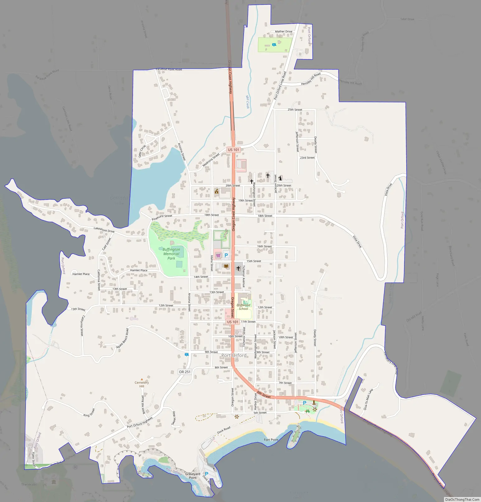
Port Orford Road Map
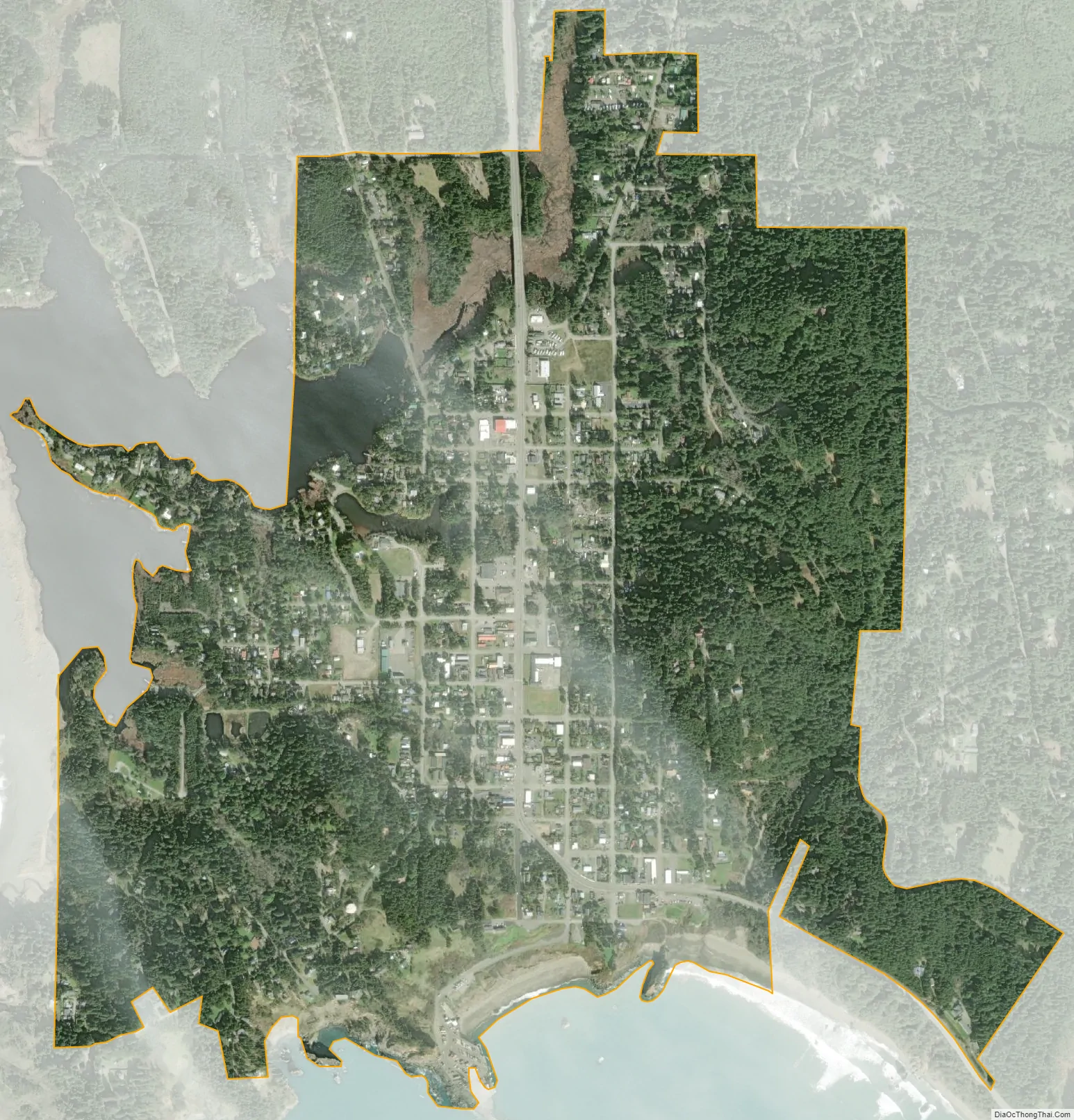
Port Orford city Satellite Map
Geography
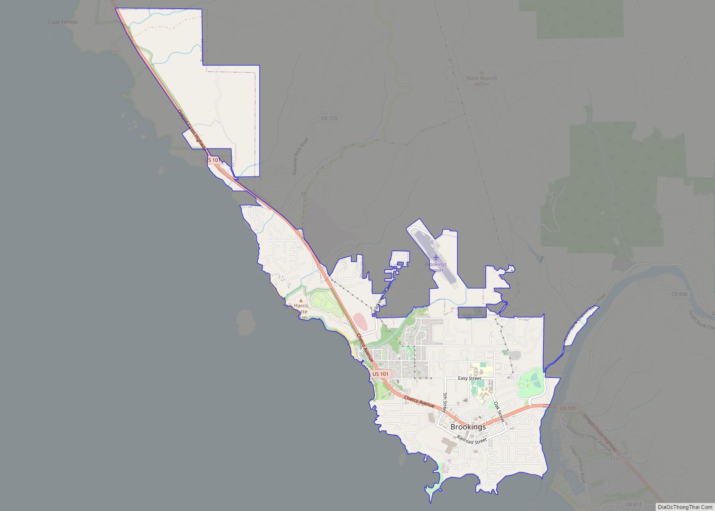
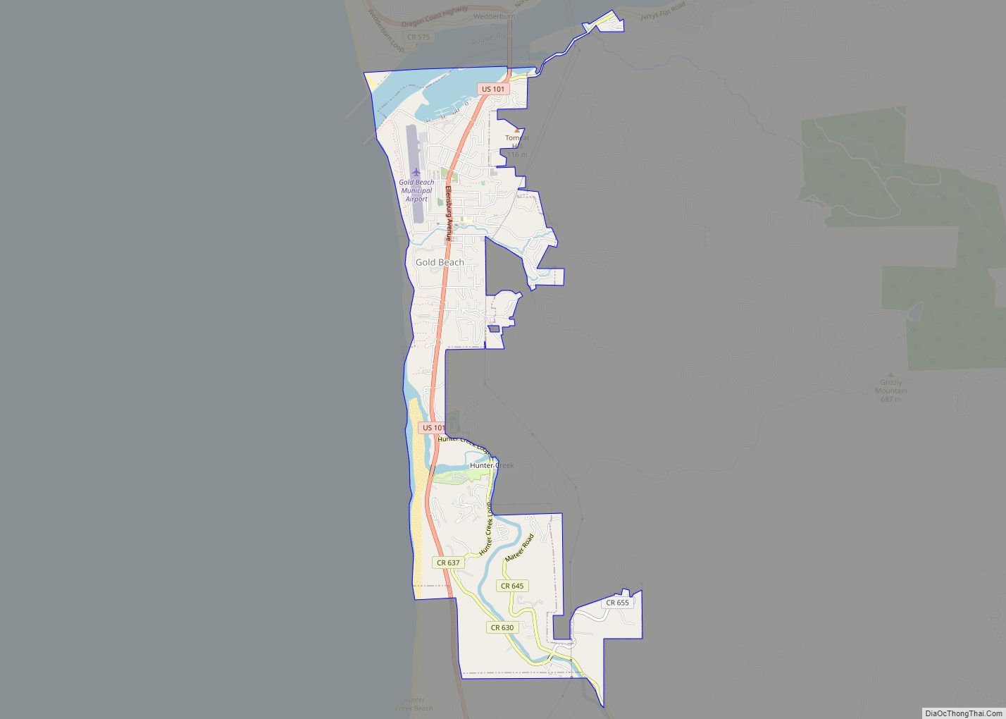
Port Orford is located on U.S. Route 101 between the Pacific Ocean and the Siskiyou National Forest, 28 miles (45 km) north of Gold Beach and 27 miles (43 km) south of Bandon. At 124 degrees, 29 minutes, 53 seconds west longitude, it is the westernmost city in the contiguous United States, though in Clallam County, Washington, there are three unincorporated communities that are farther west than Port Orford: Neah Bay, La Push, and Ozette. According to the United States Census Bureau, the city has a total area of 1.61 square miles (4.17 km), of which 1.56 square miles (4.04 km) is land and 0.05 square miles (0.13 km) is water.
Climate
Port Orford has an oceanic climate (Csb according to the Köppen climate classification system) with cool, very wet winters and mild, dry summers. The average annual precipitation is 72.61 in (1,844 mm). It is at the northern end of Oregon’s “banana belt”, a region with relatively warm weather caused by the Brookings effect. Its hardiness zone is 9b.
See also
Map of Oregon State and its subdivision: Map of other states:- Alabama
- Alaska
- Arizona
- Arkansas
- California
- Colorado
- Connecticut
- Delaware
- District of Columbia
- Florida
- Georgia
- Hawaii
- Idaho
- Illinois
- Indiana
- Iowa
- Kansas
- Kentucky
- Louisiana
- Maine
- Maryland
- Massachusetts
- Michigan
- Minnesota
- Mississippi
- Missouri
- Montana
- Nebraska
- Nevada
- New Hampshire
- New Jersey
- New Mexico
- New York
- North Carolina
- North Dakota
- Ohio
- Oklahoma
- Oregon
- Pennsylvania
- Rhode Island
- South Carolina
- South Dakota
- Tennessee
- Texas
- Utah
- Vermont
- Virginia
- Washington
- West Virginia
- Wisconsin
- Wyoming