Powers is a city in Coos County, Oregon, United States. The population was 689 at the 2010 census.
| Name: | Powers city |
|---|---|
| LSAD Code: | 25 |
| LSAD Description: | city (suffix) |
| State: | Oregon |
| County: | Coos County |
| Incorporated: | 1945 |
| Elevation: | 266 ft (81 m) |
| Total Area: | 0.63 sq mi (1.64 km²) |
| Land Area: | 0.58 sq mi (1.51 km²) |
| Water Area: | 0.05 sq mi (0.13 km²) |
| Total Population: | 710 |
| Population Density: | 1,215.75/sq mi (469.69/km²) |
| ZIP code: | 97466 |
| Area code: | 541 |
| FIPS code: | 4159600 |
| GNISfeature ID: | 2411482 |
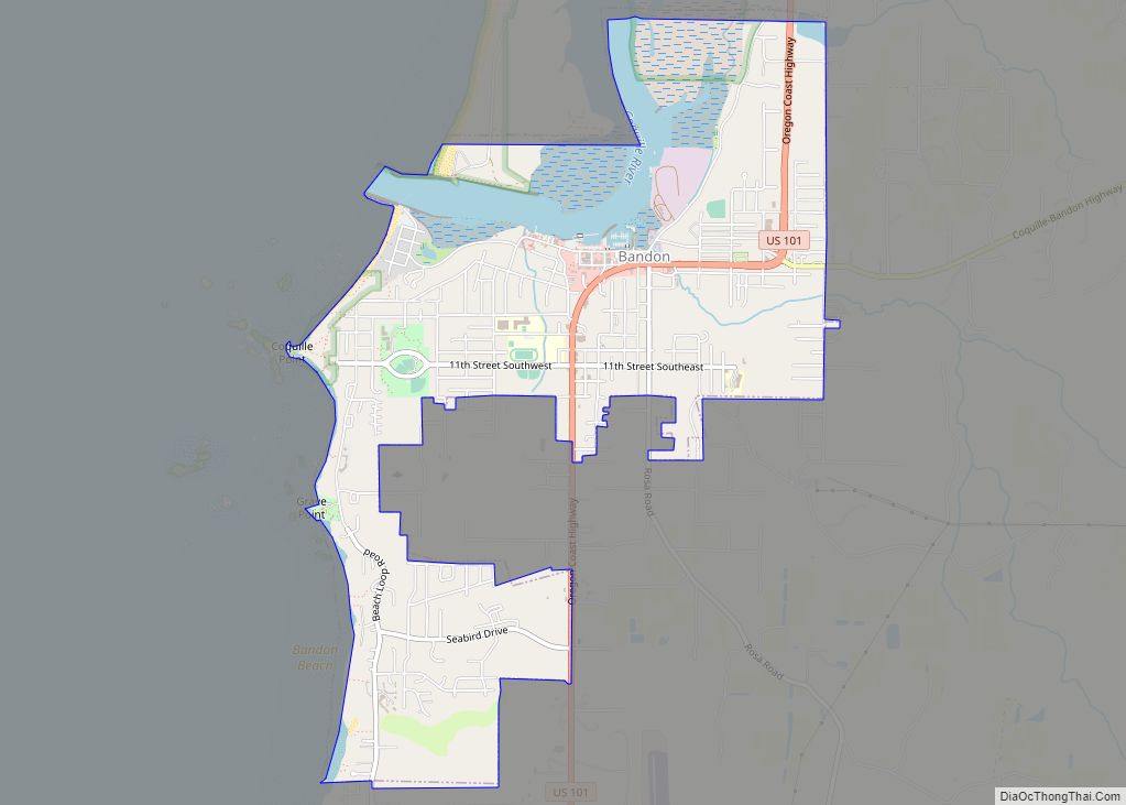
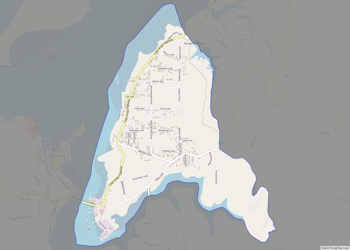
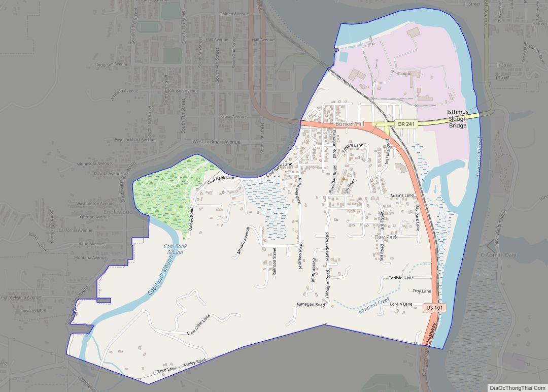
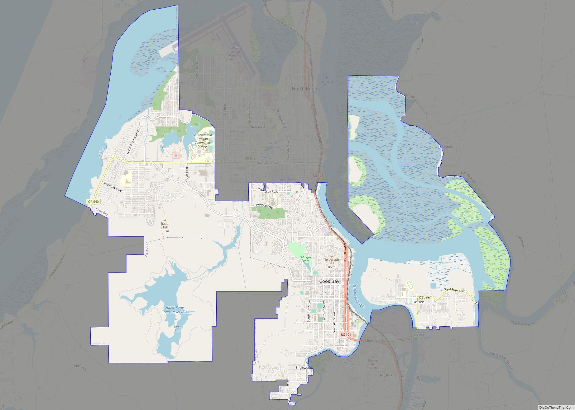
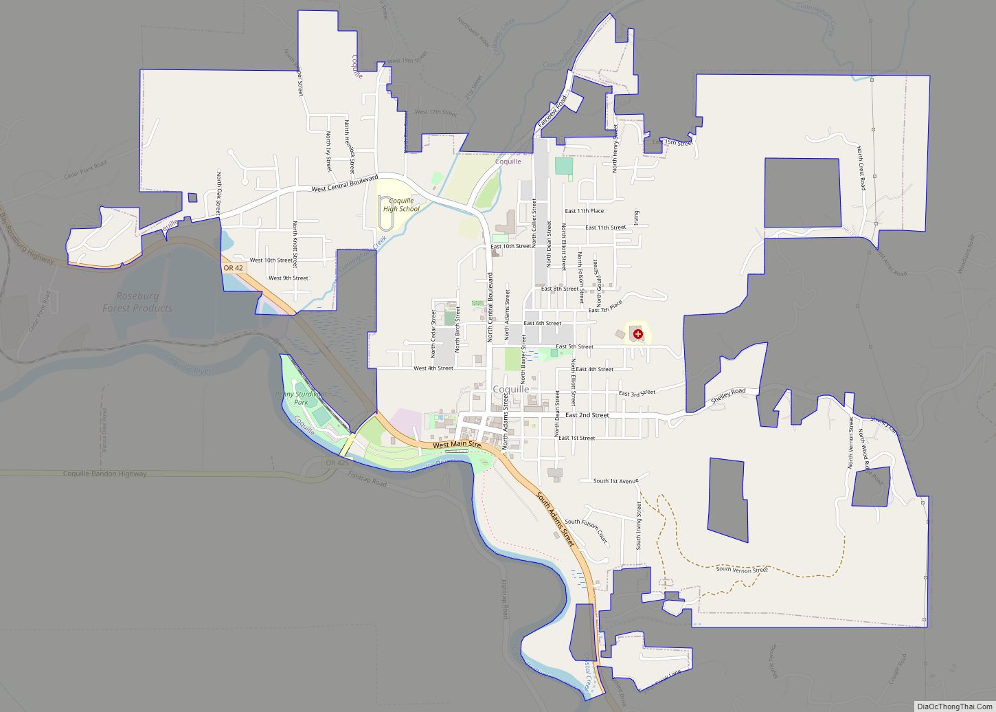
Online Interactive Map
Click on ![]() to view map in "full screen" mode.
to view map in "full screen" mode.
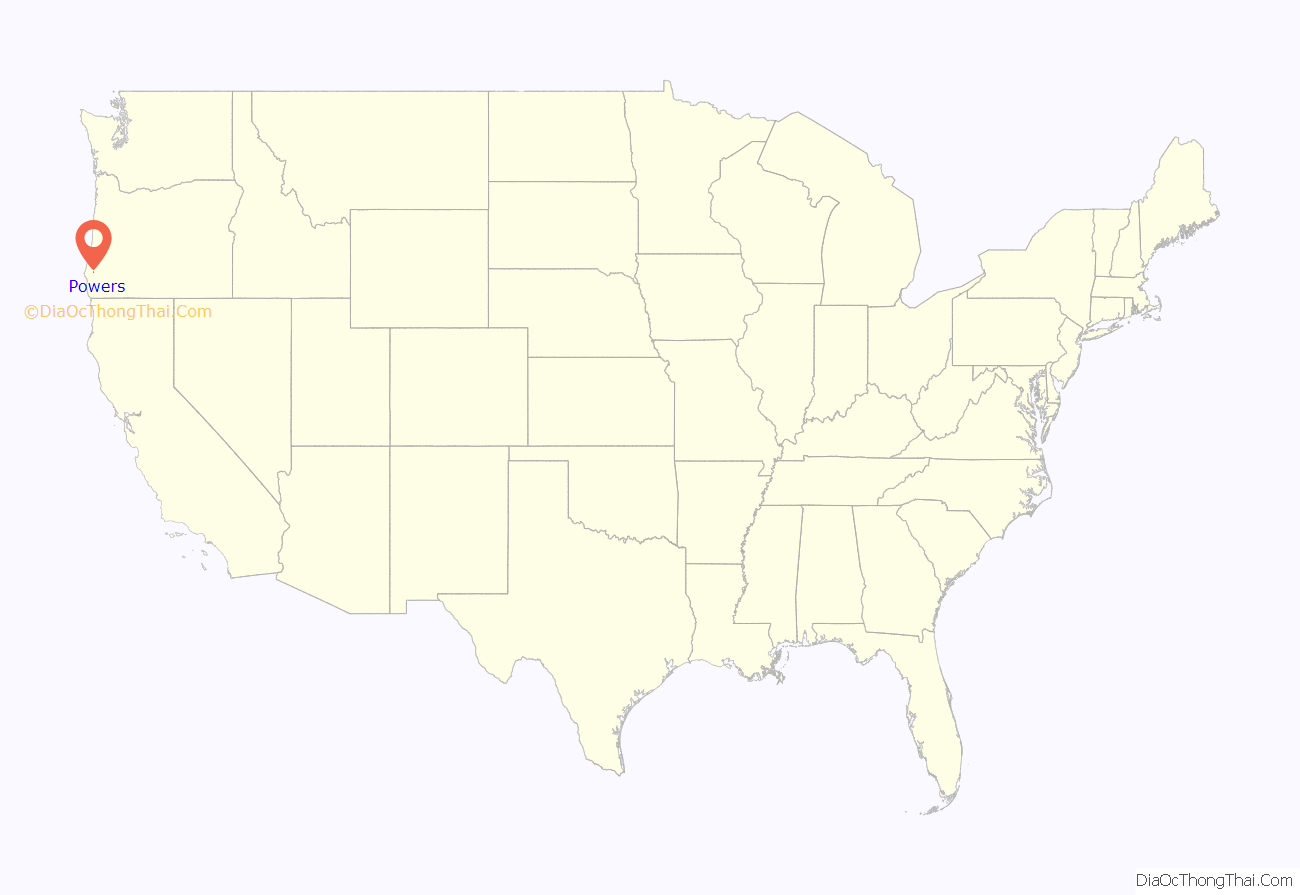
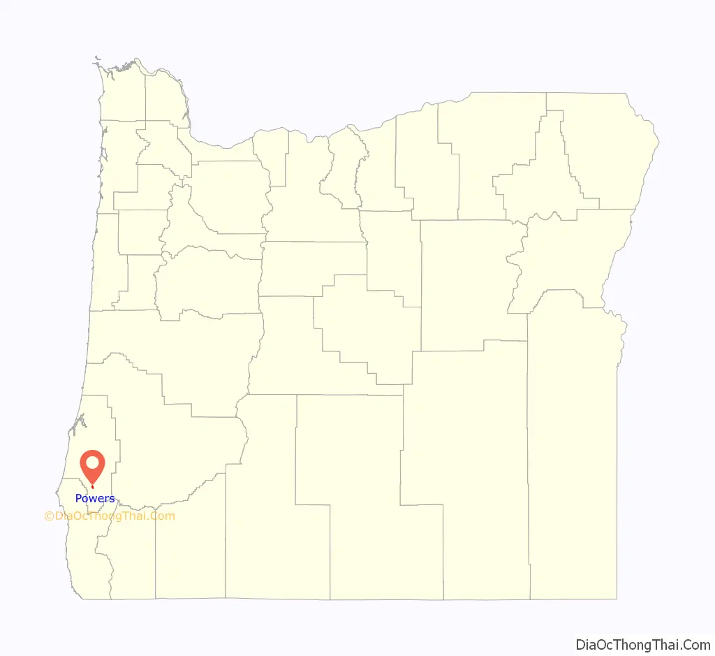
Powers location map. Where is Powers city?
History
In 1914, according to Oregon Geographic Names, the city was named for Albert H. Powers, vice president and general manager of the Smith-Powers Logging Company. Powers post office was established in 1915.
Powers Road Map
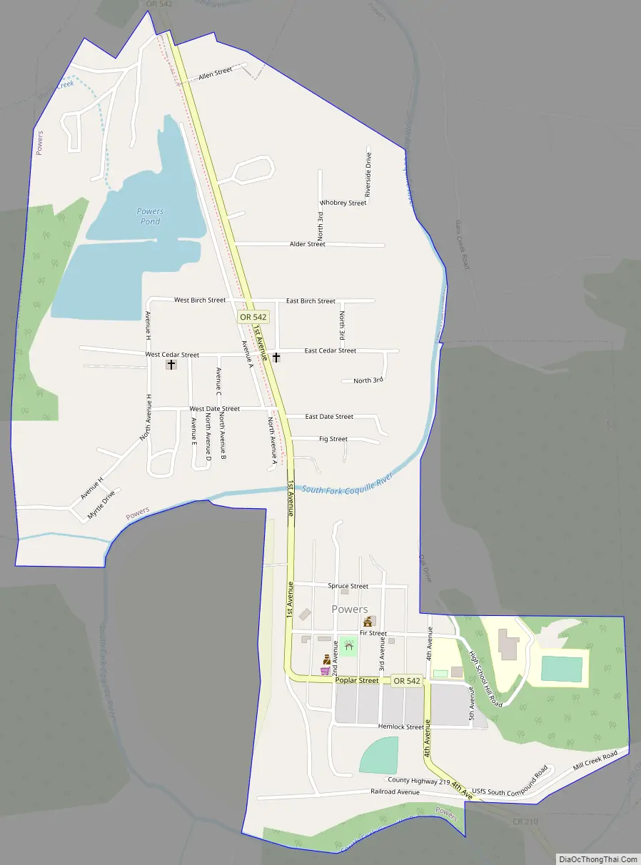
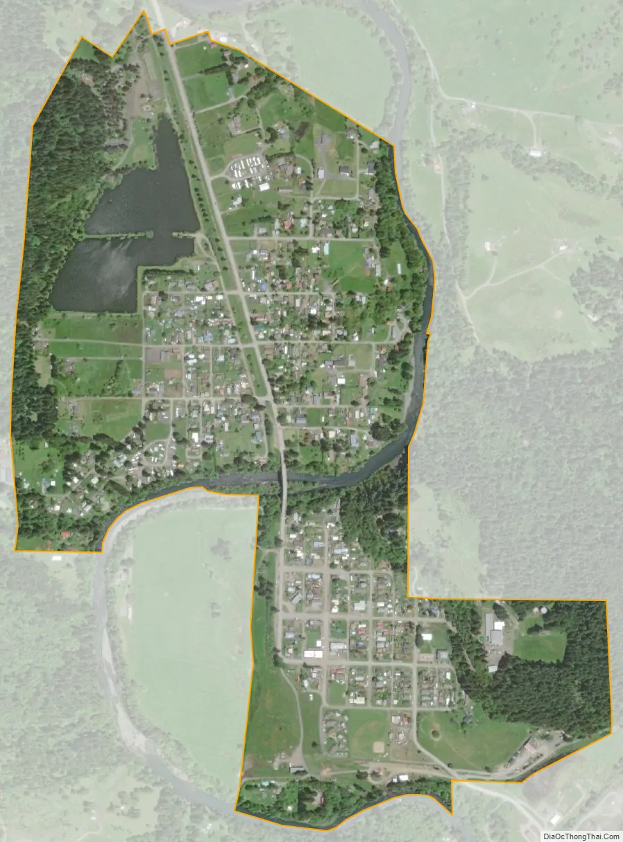
Powers city Satellite Map
Geography
Powers is 21 miles (34 km) south of Oregon Route 42 at Myrtle Point on Oregon Route 542 (Powers Highway) along the South Fork Coquille River. Forest roads connect Powers to the Rogue River, 35 miles (56 km) further south. The Glendale–Powers Bike Trail passes through Powers.
According to the United States Census Bureau, the city has a total area of 0.64 square miles (1.66 km), of which 0.59 square miles (1.53 km) is land and 0.05 square miles (0.13 km) is water.
See also
Map of Oregon State and its subdivision: Map of other states:- Alabama
- Alaska
- Arizona
- Arkansas
- California
- Colorado
- Connecticut
- Delaware
- District of Columbia
- Florida
- Georgia
- Hawaii
- Idaho
- Illinois
- Indiana
- Iowa
- Kansas
- Kentucky
- Louisiana
- Maine
- Maryland
- Massachusetts
- Michigan
- Minnesota
- Mississippi
- Missouri
- Montana
- Nebraska
- Nevada
- New Hampshire
- New Jersey
- New Mexico
- New York
- North Carolina
- North Dakota
- Ohio
- Oklahoma
- Oregon
- Pennsylvania
- Rhode Island
- South Carolina
- South Dakota
- Tennessee
- Texas
- Utah
- Vermont
- Virginia
- Washington
- West Virginia
- Wisconsin
- Wyoming