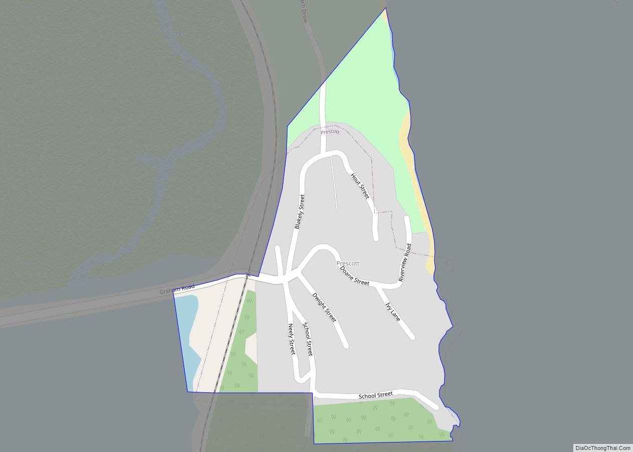
Prescott is a city in Columbia County, Oregon, United States. It was named in 1905 for the owner of the local sawmill. The population was 68 in 2021, with the median age of 60 years and a split of 53% female with 47% male.
| Name: | Prescott city |
|---|---|
| LSAD Code: | 25 |
| LSAD Description: | city (suffix) |
| State: | Oregon |
| County: | Columbia County |
| Incorporated: | 1947 |
| Elevation: | 17 ft (5.2 m) |
| Total Area: | 0.07 sq mi (0.18 km²) |
| Land Area: | 0.07 sq mi (0.18 km²) |
| Water Area: | 0.00 sq mi (0.00 km²) |
| Total Population: | 82 |
| Population Density: | 1,188.41/sq mi (457.79/km²) |
| ZIP code: | 97048 |
| Area code: | 503 and 971 |
| FIPS code: | 4159750 |
| GNISfeature ID: | 1125655 |
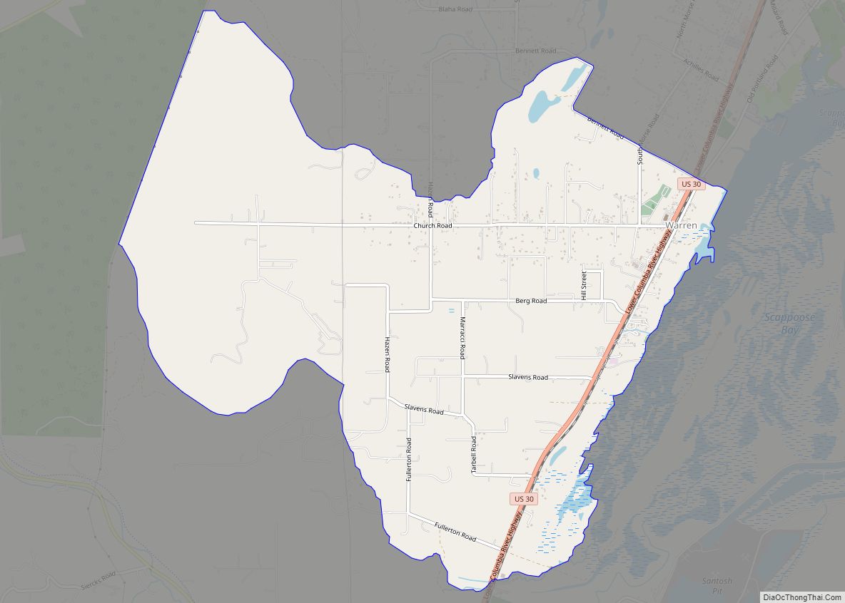
Online Interactive Map
Click on ![]() to view map in "full screen" mode.
to view map in "full screen" mode.
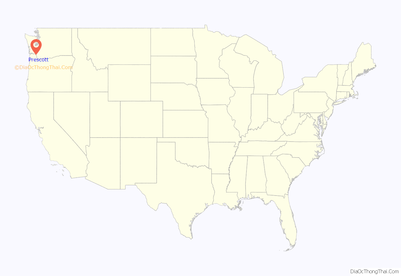
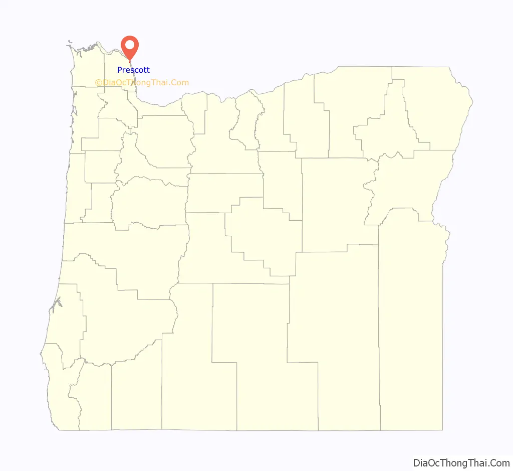
Prescott location map. Where is Prescott city?
History
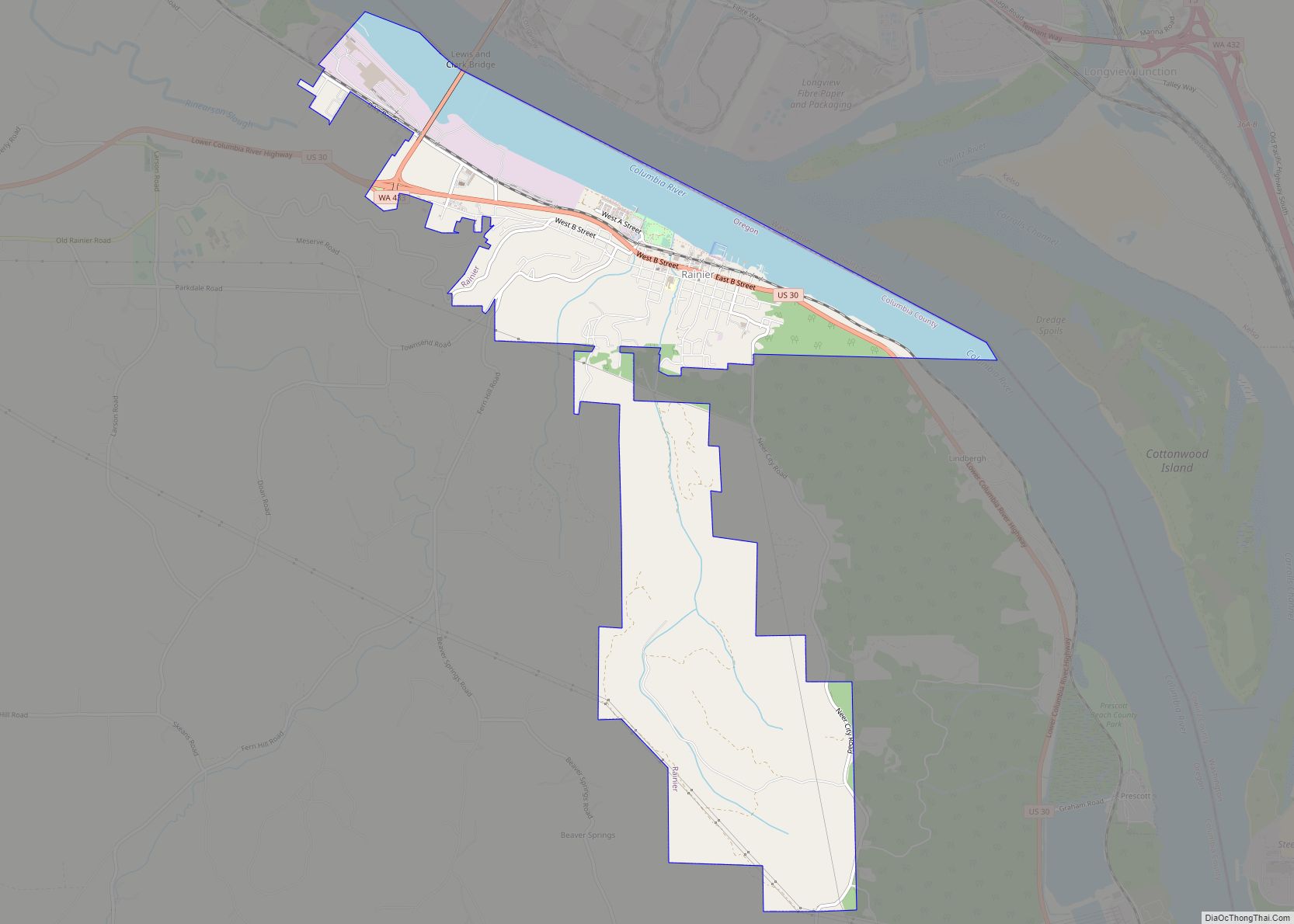
Although the nearby community of Rainier was better known as the home of the Trojan Nuclear Power Plant, whose cooling tower was imploded in May 2006, the plant was in fact located less than a mile from Prescott. Prescott’s origin is that of a mill town associated with a large sawmill that was located on the west end town in an area now called Prescott Beach.
The community was named in 1905 for the owners of the mill. A post office was established on May 21, 1907, and ran until May 15, 1946.
Prescott Road Map
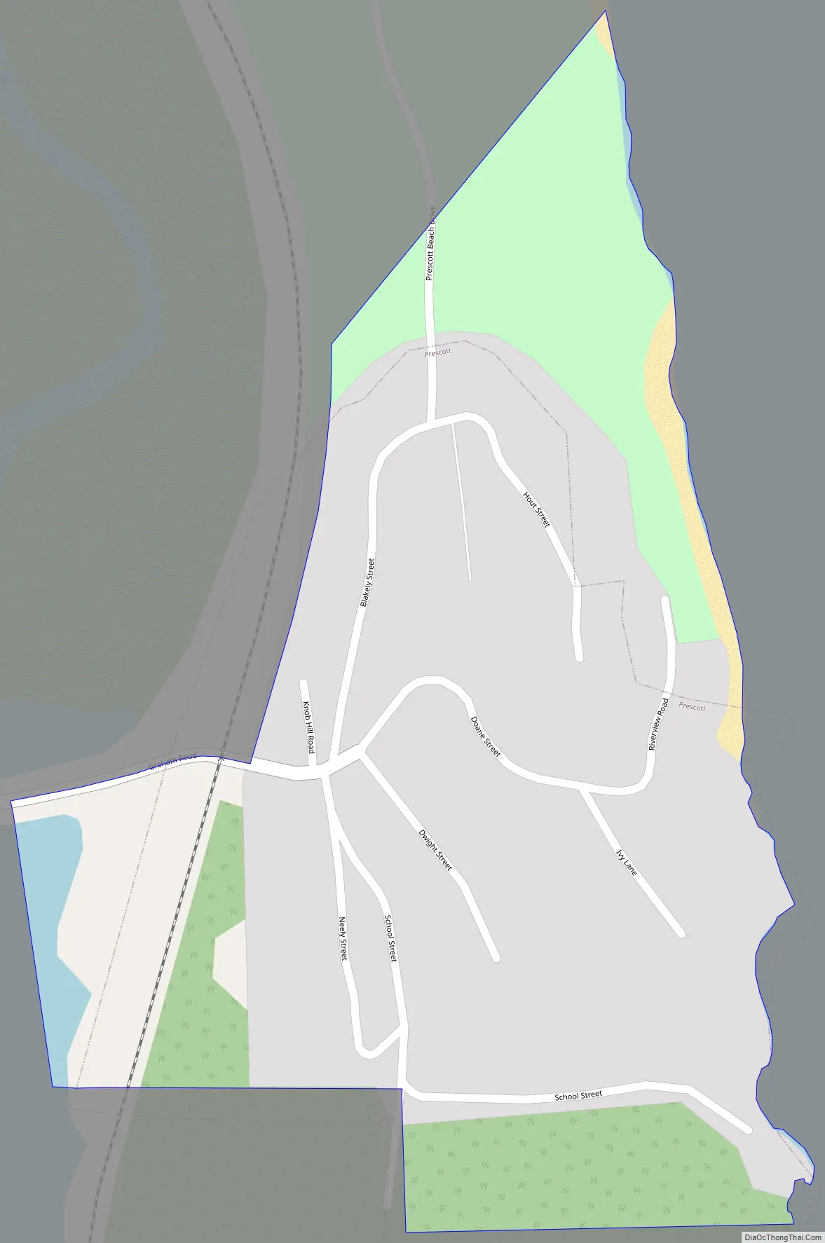
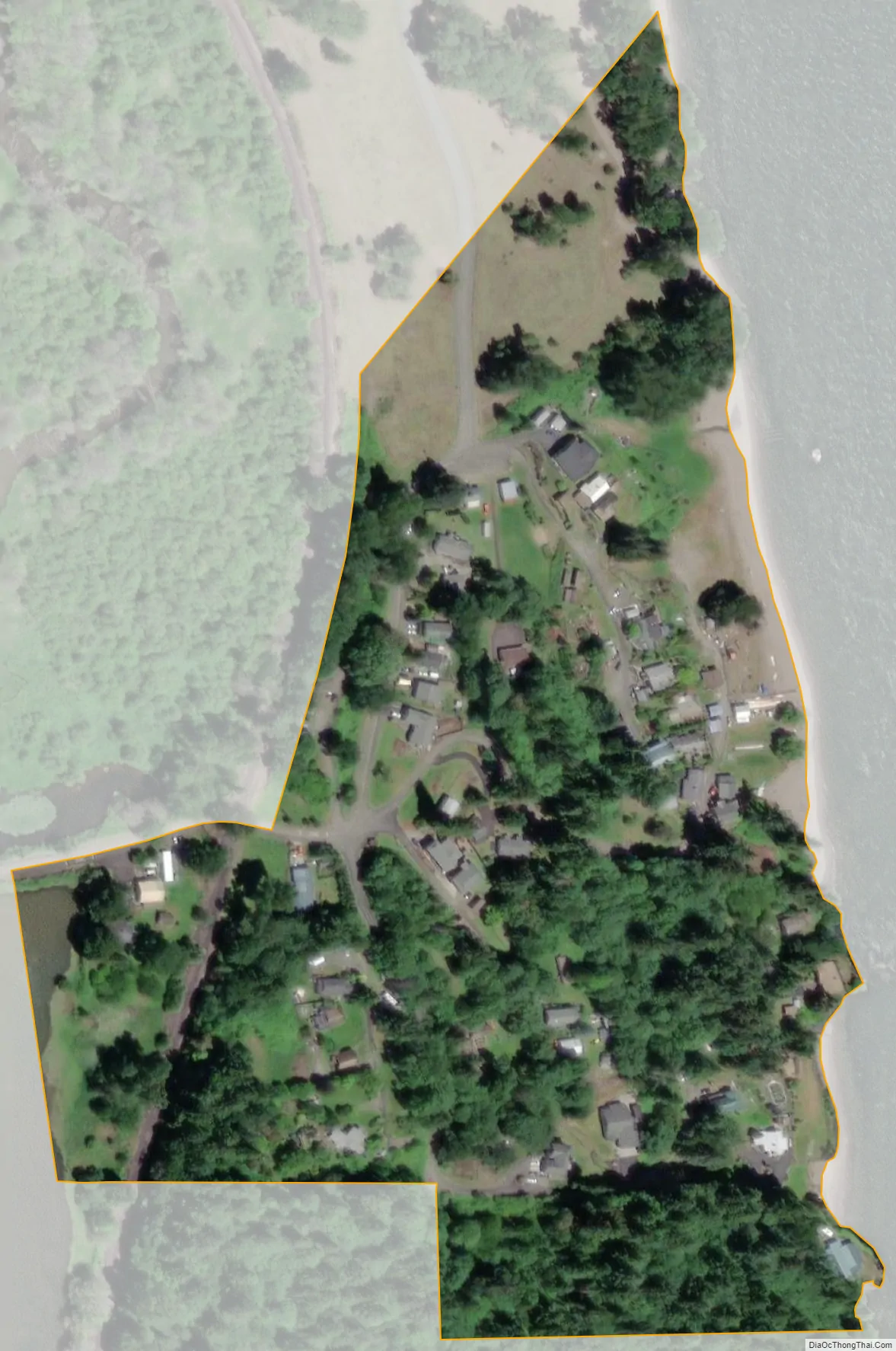
Prescott city Satellite Map
Geography
According to the United States Census Bureau, the city has a total area of 0.06 square miles (0.16 km), all of it land.
See also
Map of Oregon State and its subdivision: Map of other states:- Alabama
- Alaska
- Arizona
- Arkansas
- California
- Colorado
- Connecticut
- Delaware
- District of Columbia
- Florida
- Georgia
- Hawaii
- Idaho
- Illinois
- Indiana
- Iowa
- Kansas
- Kentucky
- Louisiana
- Maine
- Maryland
- Massachusetts
- Michigan
- Minnesota
- Mississippi
- Missouri
- Montana
- Nebraska
- Nevada
- New Hampshire
- New Jersey
- New Mexico
- New York
- North Carolina
- North Dakota
- Ohio
- Oklahoma
- Oregon
- Pennsylvania
- Rhode Island
- South Carolina
- South Dakota
- Tennessee
- Texas
- Utah
- Vermont
- Virginia
- Washington
- West Virginia
- Wisconsin
- Wyoming