Silverton is a city in Marion County, Oregon, United States. The city is situated along the 45th parallel about 12 miles (19 km) northeast of Salem, in the eastern margins of the broad alluvial plain of the Willamette Valley. The city is named after Silver Creek, which flows through the town from Silver Falls into the Pudding River, and thence into the Willamette River. The community of Milford was founded in 1846 with a sawmill, store and several other buildings two miles upstream from the present location of Silverton. In about 1853 a second sawmill was built on Silver Creek near where the Silverton city hall now stands. In 1854 the town of Silverton was platted and registered with Marion County. Human habitation of the Silverton area extends back approximately 6,000 years before the present. In historical times, the region was dominated by the Kalapuya and Molala peoples, whose seasonal burns of the area made it plow-ready and attractive to early 19th century Euro-American settlers. Farming was Silverton’s first major industry, and has been a dominant land-use activity in and around Silverton since the mid-19th century.
Silverton is part of the Salem Metropolitan Statistical Area, and the population core of the Silver Falls School District. The population was 10,484 at the time of the 2020 census.
| Name: | Silverton city |
|---|---|
| LSAD Code: | 25 |
| LSAD Description: | city (suffix) |
| State: | Oregon |
| County: | Marion County |
| Incorporated: | 1854 |
| Elevation: | 252 ft (76.8 m) |
| Total Area: | 3.54 sq mi (9.18 km²) |
| Land Area: | 3.51 sq mi (9.08 km²) |
| Water Area: | 0.04 sq mi (0.10 km²) |
| Total Population: | 10,484 |
| Population Density: | 2,989.45/sq mi (1,154.25/km²) |
| ZIP code: | 97381 |
| Area code: | 503 |
| FIPS code: | 4167650 |
| GNISfeature ID: | 1126975 |
| Website: | www.silverton.or.us |
Online Interactive Map
Click on ![]() to view map in "full screen" mode.
to view map in "full screen" mode.
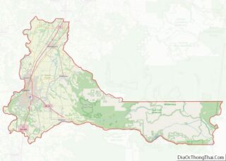
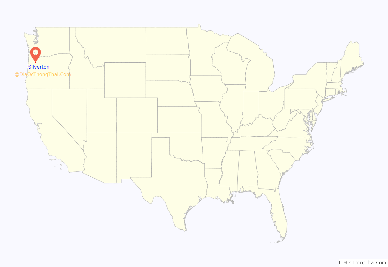
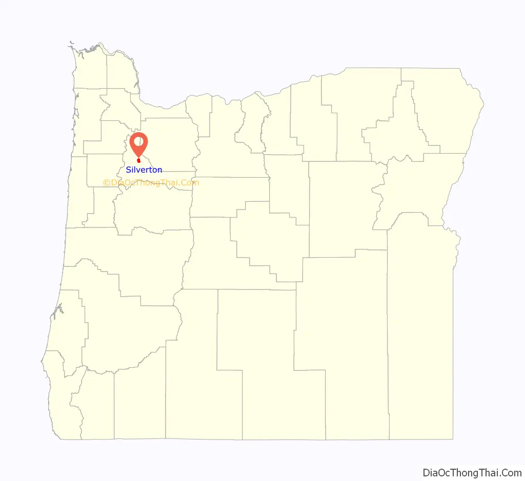
Silverton location map. Where is Silverton city?
History
The first white settlers arrived at Silver Creek in the 1800s. Two settlers, James Smith and John Barger created a sawmill along the creek in 1846. The town was originally known as Milford. In 1854, the town was abandoned and the settlers moved downstream to the current spot of Silverton. The town was first known as Silver Creek but the name was changed a year later. The town expanded and grew and was incorporated in 1885. The town now housed about 229 people. The town continued to grow until now, where it now has over 10,000 people.
Killing of Andrew Hanlon
In June 2008, Silverton came to international attention when an unarmed Irish citizen, Andrew James (AJ) Hanlon, aged 20, was killed by a police officer, Tony Gonzalez, in controversial circumstances. Gonzalez, who was responding to a reported disturbance of the peace, shot the unarmed Hanlon five times, although Hanlon’s sister recalled seeing seven bullets in her brother’s body.
The death, which Hanlon’s sister described as the only shooting in Silverton in the past twenty years, was greeted with shock there as well as in Ireland, particularly when it emerged that Hanlon had been experiencing psychological issues and had most probably gotten lost on his way home to his sister’s house in Silverton. Complaints were made by Hanlon’s family that it took six hours for the police to inform his sister of her brother’s death, despite her living only a mile away, and questions were asked why the police had not used a tazer, which was available to them. Requests for transparency were greeted by obfuscation and secrecy and claims that, in Andrew Hanlon’s mother’s words, the city’s establishment “had closed ranks on” the Hanlon family to protect Gonzalez. while the Consulate in San Francisco of the Government of Ireland registered concern over the killing. Protests outside Silverton City Hall were also ignored. On 24 July 2008, a Marion County grand jury found that because Gonzalez had testified that he believed that Andrew James Hanlon was armed, his killing was justified. Eight days later, on August 1, 2008, and just over a month after Andrew was killed on the 30th of June, Gonzalez resigned from Silverton’s police department. He had been arrested in July and charged with child abuse. On December 7, 2008, Gonzalez was sentenced to 6 years and 3 months imprisonment when he pleaded guilty to sexually abusing a teenage girl.
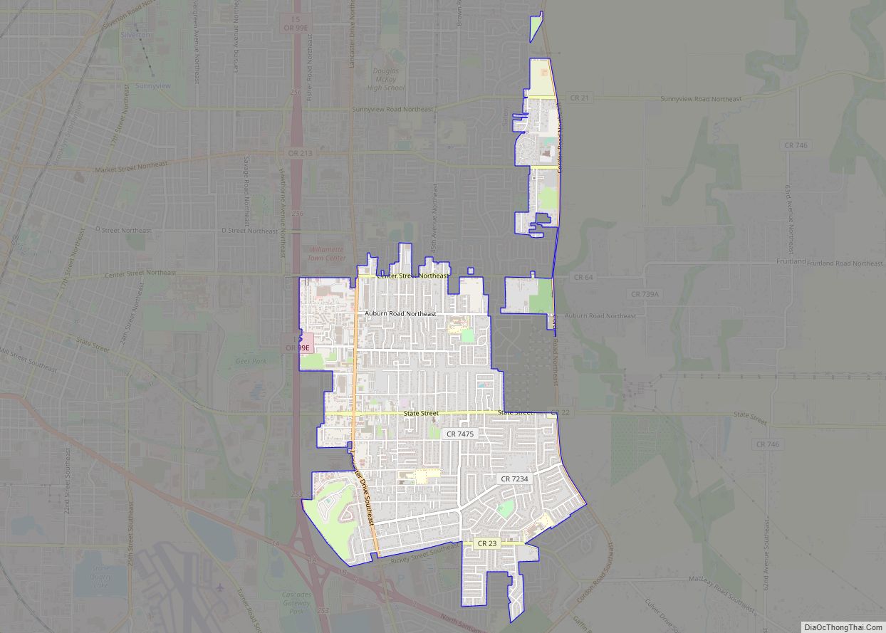
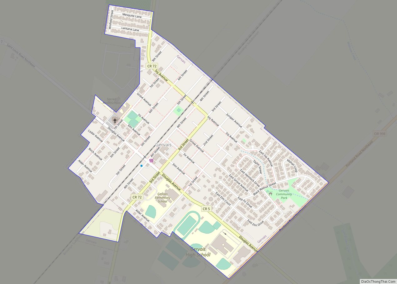
Silverton Road Map
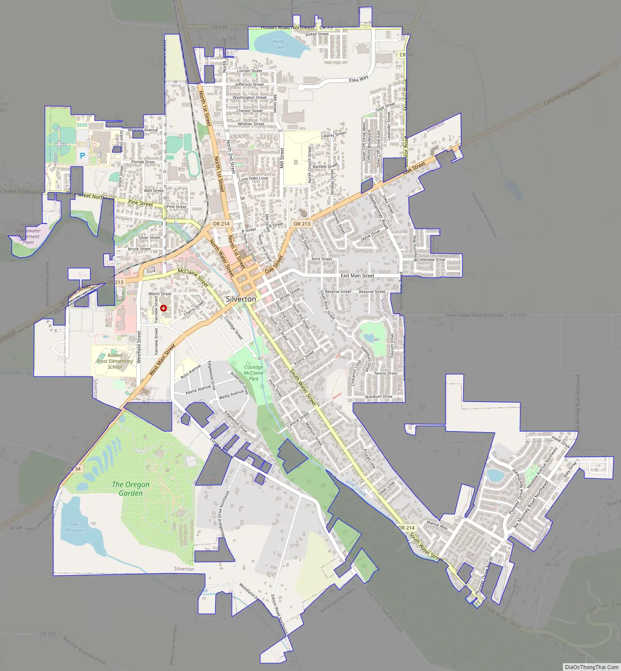
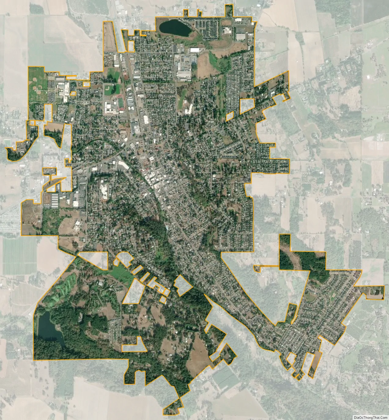
Silverton city Satellite Map
Geography
Silverton is situated on the eastern edge of the Willamette Valley, a fertile and alluvial plain which stretches from the western foothills of the Cascade Range on the east, known as the Waldo Hills, to the eastern foothills of the Oregon Coast Range on the west. Silverton lies on either side of Silver Creek, a tributary of the Pudding River, which joins the Molalla River before emptying into the northward-flowing Willamette River. Abiqua Creek also empties into the Pudding River; it flows across the eastern valley north of Silverton, further draining the land around the city.
Silverton’s elevation is between 200 and 250 feet (61 and 76 m) above mean sea level with the steep-sided, heavily-wooded Waldo Hills to the south rising an additional 200 feet (61 m). The agricultural richness of the environs is due to massive and repeated floods from prehistoric Lake Missoula in western Montana. Beginning approximately 13,000 years before the present, repeated flooding from Lake Missoula scoured eastern Washington and Oregon, carved out the Columbia River Gorge, and periodically swept down the Columbia River; when floodwaters met ice jams in southwest Washington, the backed-up water spilled over and filled the entire Willamette Valley to a depth of 300 to 400 feet (91 to 122 m) above current sea level, creating a body of water known as Lake Allison. The gradual receding of Lake Allison’s waters left layered sedimentary volcanic and glacial soils to a height of about 180 to 200 feet (55 to 61 m) above current sea level throughout the Tualatin, Yamhill and Willamette Valleys.
Until the mid-19th century, the Silverton area was a broad, open grassland with small stands of Oregon white oak, ponderosa pine and Douglas fir. Stands of Oregon white oak, red alder, big leaf maple, and black cottonwood lined streams and river banks. While these tree species are extant today, widespread farming in the Willamette Valley between 1850 and 1870 altered the land through the discontinuation of widespread seasonal burning in the valley plains previously employed by the Kalapuya people. Large stands of Douglas fir and western red cedar, mixed with Oregon white oak, remain in the Silverton area, especially on eastern ridge tops and on the slopes of the Waldo Hills to the south. Due to decades of intensive timber extraction, mature second- and third-growth trees comprise existing evergreen stands.
According to the United States Census Bureau, the city has a total area of 3.47 square miles (8.99 km), of which 3.43 square miles (8.88 km) is land and 0.04 square miles (0.10 km) is water.
Climate
This region experiences warm (with occasional hot spells) and dry summers, but with no average monthly temperatures above 71.6 °F (22.0 °C). According to the Köppen Climate Classification system, Silverton has a warm-summer Mediterranean climate, abbreviated “Csb” on climate maps. The climate is relatively mild, considering Silverton’s northern latitude, and temperature fluctuations are generally small. Precipitation, primarily in the form of fall and winter rain, ranges between 40 and 50 inches (1,000 and 1,300 mm) annually. Silverton’s climate and its soil have made the area well suited for a variety of crops and for livestock grazing.
See also
Map of Oregon State and its subdivision: Map of other states:- Alabama
- Alaska
- Arizona
- Arkansas
- California
- Colorado
- Connecticut
- Delaware
- District of Columbia
- Florida
- Georgia
- Hawaii
- Idaho
- Illinois
- Indiana
- Iowa
- Kansas
- Kentucky
- Louisiana
- Maine
- Maryland
- Massachusetts
- Michigan
- Minnesota
- Mississippi
- Missouri
- Montana
- Nebraska
- Nevada
- New Hampshire
- New Jersey
- New Mexico
- New York
- North Carolina
- North Dakota
- Ohio
- Oklahoma
- Oregon
- Pennsylvania
- Rhode Island
- South Carolina
- South Dakota
- Tennessee
- Texas
- Utah
- Vermont
- Virginia
- Washington
- West Virginia
- Wisconsin
- Wyoming